Brown's Plantation

Wood, Forest in Suffolk East Suffolk

England

Brown's Plantation

Leiston Abbey in 1976 Looking west towards the largest cloister courtyard
Leiston Abbey in 1976 Credit: Clint Mann

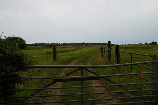
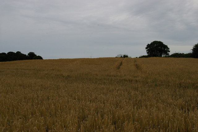
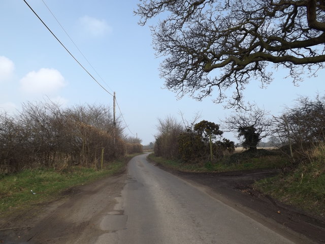
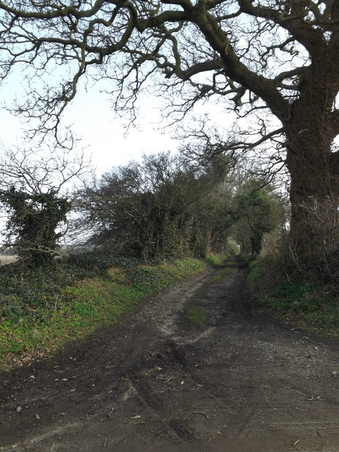
Brown's Plantation, located in Suffolk, is a magnificent woodland area renowned for its natural beauty and rich history. Spanning over 500 acres, the plantation is nestled within the charming town of Suffolk, offering visitors a tranquil escape from the hustle and bustle of everyday life.

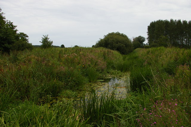
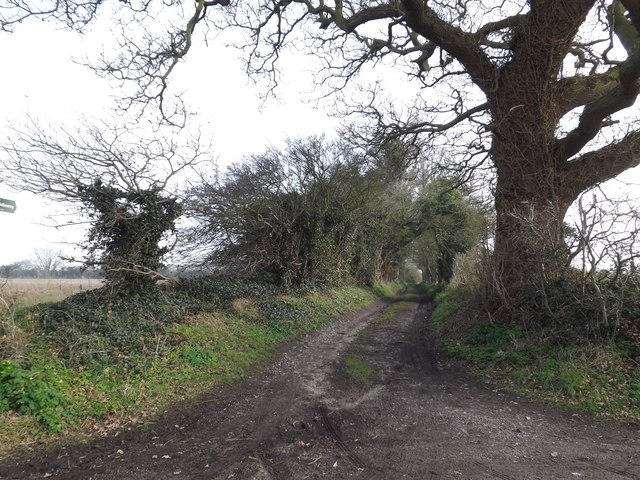
The plantation is predominantly comprised of a dense forest, characterized by towering oak and beech trees that provide a canopy of shade and an enchanting ambiance. The woodland is home to a diverse array of flora and fauna, making it a haven for nature enthusiasts and wildlife lovers. From delicate wildflowers carpeting the forest floor to elusive deer and rabbits roaming freely, the plantation offers a unique opportunity to immerse oneself in nature's wonders.

Steeped in history, Brown's Plantation holds significant cultural and historical value. The land was once part of a larger estate dating back to the 18th century, owned by the Brown family. The plantation played a pivotal role in the local timber industry, supplying wood for shipbuilding and construction during this period.

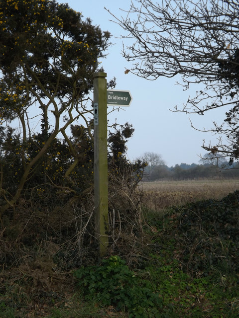
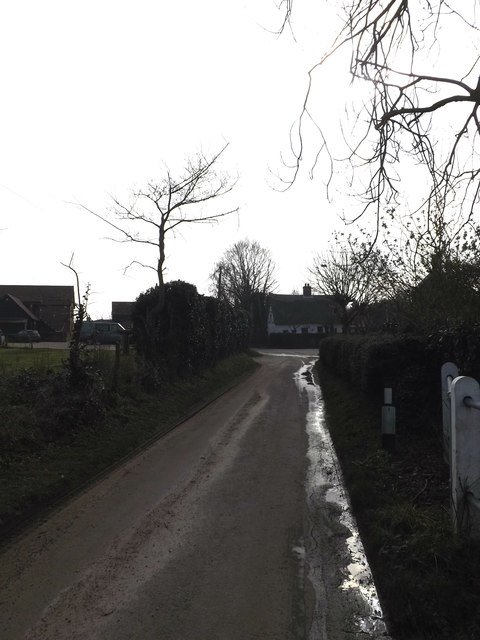
Today, Brown's Plantation serves as a recreational space for the local community and visitors alike. It boasts a network of well-maintained trails, allowing hikers and walkers to explore the woodland's hidden gems. The plantation also provides opportunities for birdwatching, photography, and picnicking, with designated areas equipped with benches and tables.

In conclusion, Brown's Plantation in Suffolk offers a captivating blend of natural beauty and historical significance. Whether one seeks a peaceful retreat or wishes to delve into the region's past, this woodland oasis promises an unforgettable experience for all who venture within its borders.

If you have any feedback on the listing, please let us know in the comments section below.

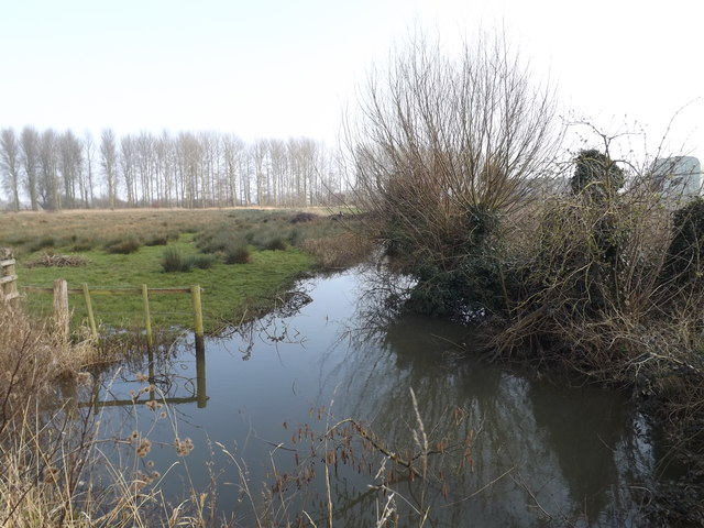
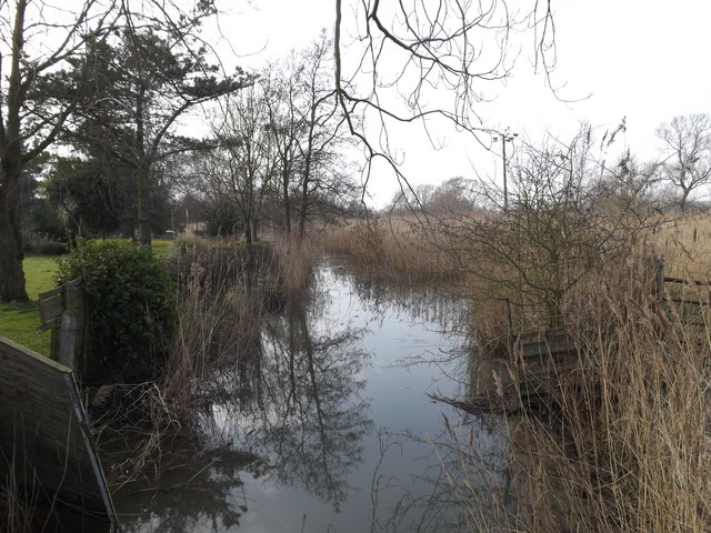
Brown's Plantation Images

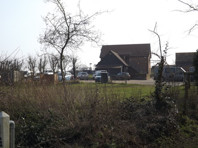
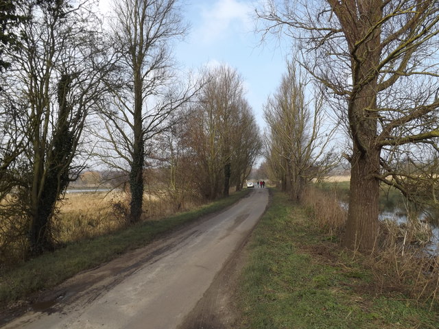
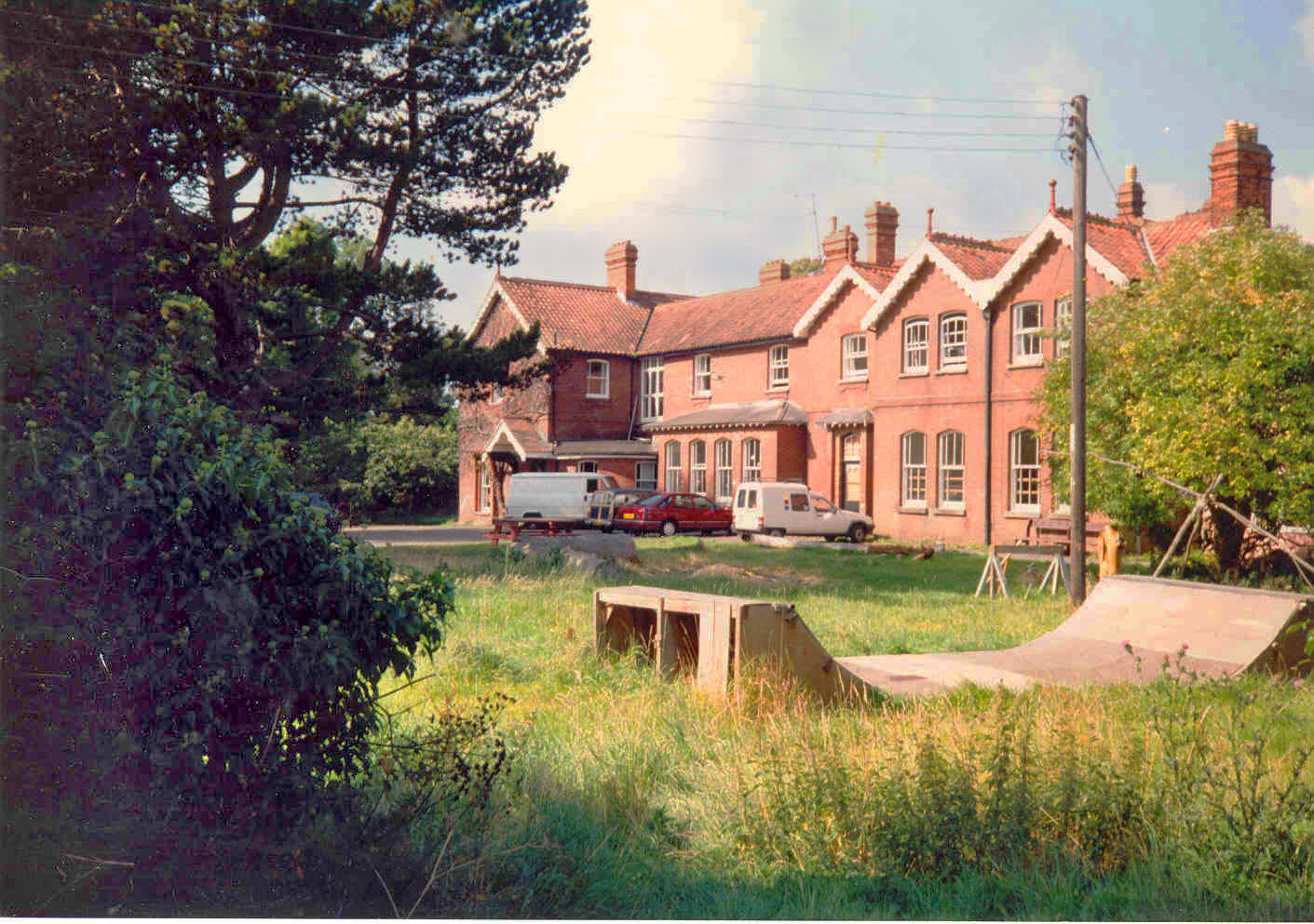
Images are sourced within 2km of 52.232959/1.5731937 or Grid Reference TM4465. Thanks to Geograph Open Source API. All images are credited.

Leiston Abbey in 1976 Looking west towards the largest cloister courtyard
Leiston Abbey in 1976
Looking west towards the largest cloister courtyard
Minsmere Level: track towards Twopenny Arch The red brick of the bridge, Twopenny Arch, can just be made out in the distance.
Minsmere Level: track towards Twopenny Arch
The red brick of the bridge, Twopenny Arch, can just be made out in the distance.
Wheatfield south of Eastbridge
Minsmere New Cut from Dam Bridge
Eastbridge Lane & Bridleway Near The Round House
Eastbridge Lane & Bridleway
Near The Round House
Bridleway sign on Eastbridge Lane At the entrance to The Round House
Bridleway sign on Eastbridge Lane
At the entrance to The Round House
Bridleway to Lovers Lane & entrance to The Round House Off Eastbridge Lane
Bridleway to Lovers Lane & entrance to The Round House
Off Eastbridge Lane
Entering Eastbridge on Eastbridge Lane <span class="nowrap"><a title="https://en.wikipedia.org/wiki/Eastbridge" rel="nofollow ugc noopener" href="https://en.wikipedia.org/wiki/Eastbridge">Link</a><img style="margin-left:2px;" alt="External link" title="External link - shift click to open in new window" src="https://s1.geograph.org.uk/img/external.png" width="10" height="10"/></span>
Entering Eastbridge on Eastbridge Lane
Eastbridge Village Name sign on Eastbridge Lane <span class="nowrap"><a title="https://en.wikipedia.org/wiki/Eastbridge" rel="nofollow ugc noopener" href="https://en.wikipedia.org/wiki/Eastbridge">Link</a><img style="margin-left:2px;" alt="External link" title="External link - shift click to open in new window" src="https://s1.geograph.org.uk/img/external.png" width="10" height="10"/></span>
Eastbridge Village Name sign on Eastbridge Lane
Eastbridge Lane, Eastbridge <span class="nowrap"><a title="https://en.wikipedia.org/wiki/Eastbridge" rel="nofollow ugc noopener" href="https://en.wikipedia.org/wiki/Eastbridge">Link</a><img style="margin-left:2px;" alt="External link" title="External link - shift click to open in new window" src="https://s1.geograph.org.uk/img/external.png" width="10" height="10"/></span>
Eastbridge Lane, Eastbridge
Farmland off Eastbridge Lane <span class="nowrap"><a title="https://en.wikipedia.org/wiki/Eastbridge" rel="nofollow ugc noopener" href="https://en.wikipedia.org/wiki/Eastbridge">Link</a><img style="margin-left:2px;" alt="External link" title="External link - shift click to open in new window" src="https://s1.geograph.org.uk/img/external.png" width="10" height="10"/></span>
Farmland off Eastbridge Lane
Bridge on Eastbridge Lane <span class="nowrap"><a title="https://en.wikipedia.org/wiki/Eastbridge" rel="nofollow ugc noopener" href="https://en.wikipedia.org/wiki/Eastbridge">Link</a><img style="margin-left:2px;" alt="External link" title="External link - shift click to open in new window" src="https://s1.geograph.org.uk/img/external.png" width="10" height="10"/></span>
Bridge on Eastbridge Lane
Bridleway to Lovers Lane & entrance to The Round House Off Eastbridge Lane
Bridleway to Lovers Lane & entrance to The Round House
Off Eastbridge Lane
Drain off Eastbridge Lane <span class="nowrap"><a title="https://en.wikipedia.org/wiki/Eastbridge" rel="nofollow ugc noopener" href="https://en.wikipedia.org/wiki/Eastbridge">Link</a><img style="margin-left:2px;" alt="External link" title="External link - shift click to open in new window" src="https://s1.geograph.org.uk/img/external.png" width="10" height="10"/></span>
Drain off Eastbridge Lane
Eastbridge Lane, Eastbridge <span class="nowrap"><a title="https://en.wikipedia.org/wiki/Eastbridge" rel="nofollow ugc noopener" href="https://en.wikipedia.org/wiki/Eastbridge">Link</a><img style="margin-left:2px;" alt="External link" title="External link - shift click to open in new window" src="https://s1.geograph.org.uk/img/external.png" width="10" height="10"/></span>
Eastbridge Lane, Eastbridge
The Eels Foot Inn Public House, Eastbridge <span class="nowrap"><a title="http://www.theeelsfootinn.co.uk/" rel="nofollow ugc noopener" href="http://www.theeelsfootinn.co.uk/">Link</a><img style="margin-left:2px;" alt="External link" title="External link - shift click to open in new window" src="https://s1.geograph.org.uk/img/external.png" width="10" height="10"/></span>
The Eels Foot Inn Public House, Eastbridge
Eastbridge Lane, Eastbridge Looking towards Dam Bridge
Eastbridge Lane, Eastbridge
Looking towards Dam Bridge
Show me another place!

Brown's Plantation is located at Grid Ref: TM4465 (Lat: 52.232959, Lng: 1.5731937)

Administrative County: Suffolk

District: East Suffolk

Police Authority: Suffolk

What 3 Words

///companies.grew.inhaler. Near Leiston, Suffolk

Related Wikis

Theberton

Theberton is a village in Suffolk, England. It is located 4 miles (6 km) north-east of Saxmundham, and 3 miles (5 km) miles north of Leiston, its post...
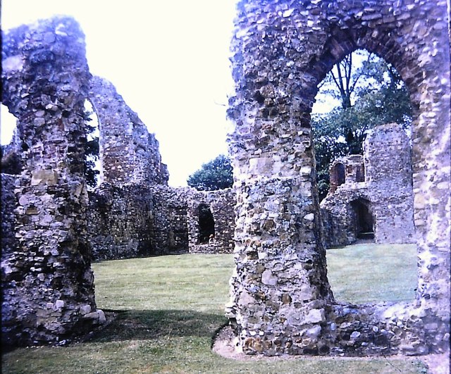
Leiston Abbey

Leiston Abbey outside the town of Leiston, Suffolk, England, was a religious house of Canons Regular following the Premonstratensian rule (White canons...
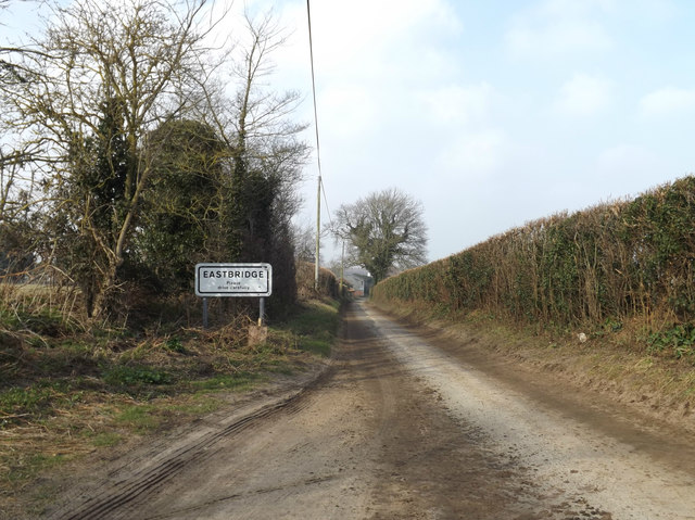
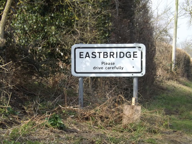
Eastbridge

Eastbridge is a village in the English county of Suffolk. It is located approximately 4 miles (6.4 km) north of Leiston, 2 miles (3.2 km) from the North...

RAF Leiston

Royal Air Force Leiston or more simply RAF Leiston is a former Royal Air Force station located 1.5 km (0.93 mi) northwest of Leiston and 1 km (0.62 mi...

Summerhill School

Summerhill School is an independent (i.e. fee-charging) boarding school in Leiston, Suffolk, England. It was founded in 1921 by Alexander Sutherland Neill...

Leiston railway station

Leiston railway station was a station in Leiston, Suffolk. It was opened in 1859 by the East Suffolk Railway and later became part of the Great Eastern...

Middleton, Suffolk

Middleton is a village in the east of the English county of Suffolk. It is located approximately 3 miles (5 km) north-west of Leiston, 5 miles (8 km)...

Richard Garrett & Sons

Richard Garrett & Sons was a manufacturer of agricultural machinery, steam engines and trolleybuses. Their factory was Leiston Works, in Leiston, Suffolk...

Related Videos

Exploring Leiston Abbey ruins

A visit to Leiston Abbey ruins, exploring them and finding out more about the history and the current residents of the farmhouse ...
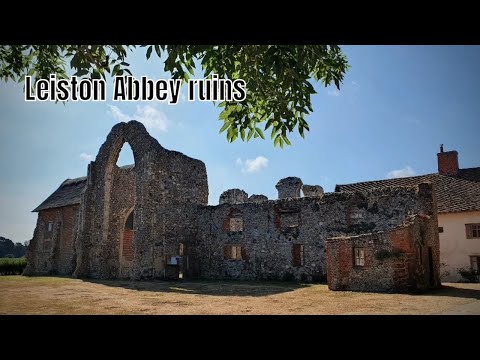
Leiston Abbey ruins

Today I take a walk around the ruins of Leiston Abbey in Suffolk a 14th century monastery.

QUIETLY EXPLORING THE ANCIENT ENGLISH ABBEY RUINS OF LEISTON

walkingtour #history #abbey A QUIET TOUR OF LEISTEN ABBEY WITH INFORMATION TEXT ON THE HISTORY OF THE ...

2023.09.11 Visit to Leiston Abbey, Suffolk, UK

Irene and Dave enjoy a visit to Leiston Abbey, Suffolk, UK.

Nearby Amenities

Located within 500m of 52.232959,1.5731937
Bus Stop
The Lion
Naptan AtcoCode: 390060220
Naptan Bearing: NW
Naptan CommonName: The Lion
Naptan Indicator: o/s
Naptan Landmark: The Lion
Naptan NaptanCode: sufgpagp
Naptan Street: Leiston Road
Naptan Verified: no
Source: naptan_import
Lat/Long: 52.2366059/1.5690486
The Lion
Naptan AtcoCode: 390060221
Naptan Bearing: SE
Naptan BusStopType: CUS
Naptan CommonName: The Lion
Naptan Indicator: opp
Naptan Landmark: The Lion
Naptan NaptanCode: sufgpagt
Naptan Street: Leiston Road
Naptan Verified: no
Source: naptan_import
Lat/Long: 52.2366213/1.5691929
Doughty Wylie
Naptan AtcoCode: 390061045
Naptan Bearing: SE
Naptan BusStopType: CUS
Naptan CommonName: Doughty Wylie
Naptan Indicator: opp
Naptan Landmark: Doughty Wylie
Naptan NaptanCode: sufjpjwg
Naptan Street: Leiston Road
Naptan Verified: no
Source: naptan_import
Lat/Long: 52.2355747/1.5703666
Bus Stop
Doughty Wylie
Naptan AtcoCode: 390061046
Naptan Bearing: NW
Naptan CommonName: Doughty Wylie
Naptan Indicator: o/s
Naptan Landmark: Doughty Wylie
Naptan NaptanCode: sufjpjwd
Naptan Street: Leiston Road
Naptan Verified: no
Source: naptan_import
Lat/Long: 52.2355945/1.5703431
Post Box
Brand: Royal Mail
Brand Wikidata: Q638098
Brand Wikipedia: en:Royal Mail
Collection Times: Mo-Fr 09:00; Sa 07:00
Operator: Royal Mail
Operator Type: private
Operator Wikidata: Q638098
Post Box Type: lamp
Ref: IP16 4651
Royal Cypher: EIIR
Lat/Long: 52.235589/1.5702094
Defibrillator
Defibrillator Location: On the left-hand side wall of the Lion, near the front.
Emergency: defibrillator
Indoor: no
Lat/Long: 52.2365576/1.5687854
The data included in this document is from www.openstreetmap.org. The data is made available under ODbL.

Have you been to Brown's Plantation?

Leave your review of Brown's Plantation below (or comments, questions and feedback).