Stoven Wood

Wood, Forest in Suffolk East Suffolk

England

Stoven Wood

Church of St Margaret, Stoven <span class="nowrap"><a title="https://historicengland.org.uk/listing/the-list/list-entry/1032100?section=official-list-entry" rel="nofollow ugc noopener" href="https://historicengland.org.uk/listing/the-list/list-entry/1032100?section=official-list-entry">Link</a><img style="margin-left:2px;" alt="External link" title="External link - shift click to open in new window" src="https://s1.geograph.org.uk/img/external.png" width="10" height="10"/></span>
Church of St Margaret, Stoven Credit: Sandy Gerrard

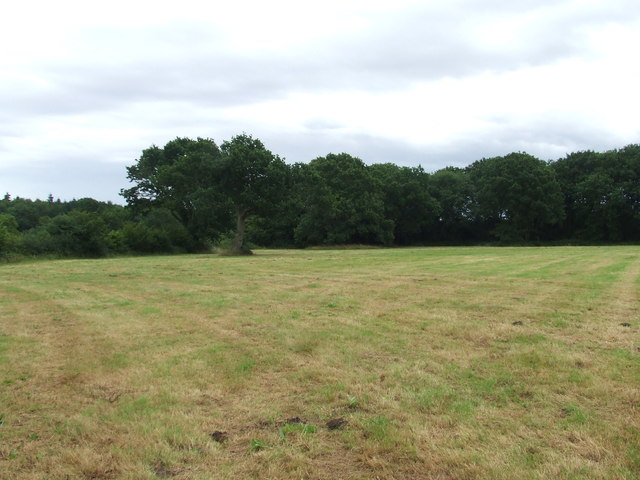
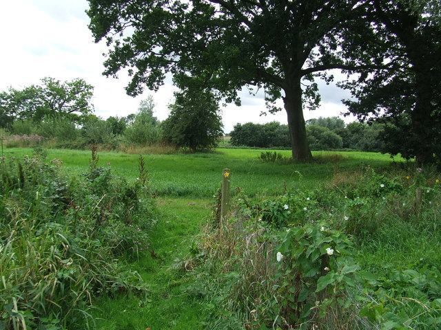
Stoven Wood is a picturesque forest located in Suffolk, England. It covers an area of approximately 100 hectares and is situated in the East Anglian region. The wood is predominantly composed of native broadleaf trees, including oak, beech, and birch, creating a diverse and vibrant ecosystem.

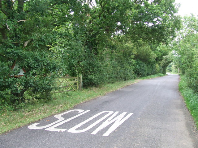
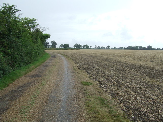
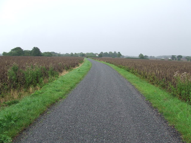
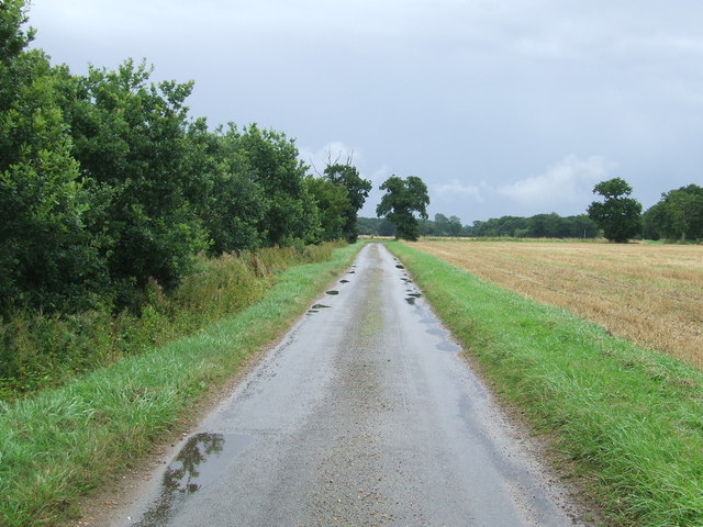
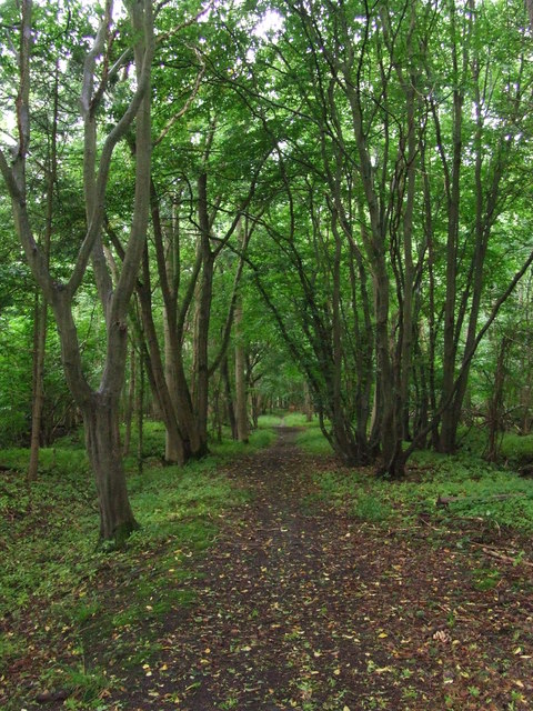
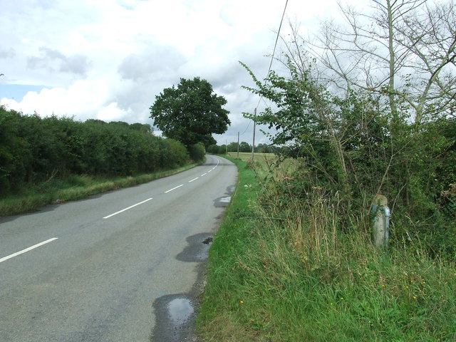
Stoven Wood is renowned for its natural beauty and tranquility, making it a popular destination for nature enthusiasts and hikers. The forest boasts a network of well-maintained paths and trails, allowing visitors to explore and immerse themselves in its enchanting surroundings. These trails offer stunning views of the woodland, with sunlight filtering through the tree canopy and casting dappled shadows on the forest floor.

The wood is home to a rich variety of wildlife, including deer, foxes, badgers, and numerous bird species. It provides a vital habitat for these creatures, offering shelter, food, and nesting sites. Birdwatchers can enjoy spotting species such as woodpeckers, owls, and various songbirds within the wood's boundaries.

Stoven Wood has a fascinating history, with evidence of human activity dating back centuries. There are remnants of ancient earthworks and ditches, indicating that the forest was once used for agricultural purposes. Over the years, the wood has been carefully managed to preserve its natural heritage and ensure its long-term sustainability.

Overall, Stoven Wood is a haven of natural beauty and biodiversity, offering visitors a chance to escape the hustle and bustle of everyday life and connect with the tranquility of nature. Whether it's a leisurely stroll, a birdwatching expedition, or simply a moment of solitude, this enchanting forest has something to offer for everyone.

If you have any feedback on the listing, please let us know in the comments section below.
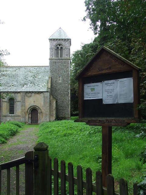
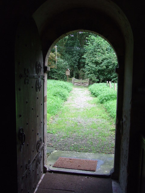
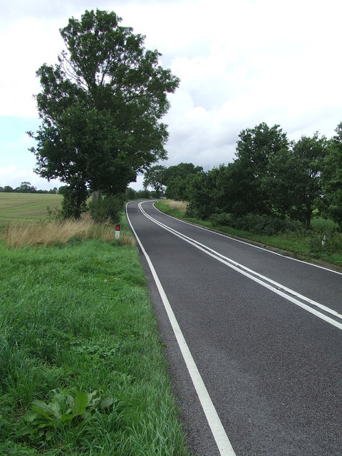
Stoven Wood Images

Images are sourced within 2km of 52.3849/1.5843751 or Grid Reference TM4482. Thanks to Geograph Open Source API. All images are credited.

Church of St Margaret, Stoven <span class="nowrap"><a title="https://historicengland.org.uk/listing/the-list/list-entry/1032100?section=official-list-entry" rel="nofollow ugc noopener" href="https://historicengland.org.uk/listing/the-list/list-entry/1032100?section=official-list-entry">Link</a><img style="margin-left:2px;" alt="External link" title="External link - shift click to open in new window" src="https://s1.geograph.org.uk/img/external.png" width="10" height="10"/></span>
Church of St Margaret, Stoven
Fox at Block's Lane, Stoven
End of the Footpath Gate denotes the end of a rather pointless footpath. From this point the only option is to return back along the way you have just walked.  A sign at the previous junction denoting the fact that it is a dead-end would have been helpful.
End of the Footpath
Gate denotes the end of a rather pointless footpath. From this point the only option is to return back along the way you have just walked. A sign at the previous junction denoting the fact that it is a dead-end would have been helpful.
Church of St. John the Baptist, Shadingfield <span class="nowrap"><a title="https://historicengland.org.uk/listing/the-list/list-entry/1183123?section=official-list-entry" rel="nofollow ugc noopener" href="https://historicengland.org.uk/listing/the-list/list-entry/1183123?section=official-list-entry">Link</a><img style="margin-left:2px;" alt="External link" title="External link - shift click to open in new window" src="https://s1.geograph.org.uk/img/external.png" width="10" height="10"/></span>
Church of St. John the Baptist, Shadingfield
Church of St. Peter, Brampton <span class="nowrap"><a title="https://historicengland.org.uk/listing/the-list/list-entry/1352565?section=official-list-entry" rel="nofollow ugc noopener" href="https://historicengland.org.uk/listing/the-list/list-entry/1352565?section=official-list-entry">Link</a><img style="margin-left:2px;" alt="External link" title="External link - shift click to open in new window" src="https://s1.geograph.org.uk/img/external.png" width="10" height="10"/></span>
Church of St. Peter, Brampton
Slow Warning sign on Station Road near to Brampton Street, Suffolk.
Slow
Warning sign on Station Road near to Brampton Street, Suffolk.
Farm Track And Footpath Farm track and footpath near to Brampton Street, Suffolk.
Farm Track And Footpath
Farm track and footpath near to Brampton Street, Suffolk.
Footpath And Farmers Track Footpath and farmers track looking east near to Shadingfield, Suffolk.
Footpath And Farmers Track
Footpath and farmers track looking east near to Shadingfield, Suffolk.
Minor Road Minor road leading to North End Cottages near to Shadingfield, Suffolk.
Minor Road
Minor road leading to North End Cottages near to Shadingfield, Suffolk.
Common Land Open access common land near to Shadingfield, Suffolk.
Common Land
Open access common land near to Shadingfield, Suffolk.
Path Through Stoven Wood Footpath through Stoven Wood near to Brampton, Suffolk.
Path Through Stoven Wood
Footpath through Stoven Wood near to Brampton, Suffolk.
Footpath Sign Footpath sign of minor road at Stoven, Suffolk.
Footpath Sign
Footpath sign of minor road at Stoven, Suffolk.
St Margaret Stoven The church and church notice board of St Margaret, Stoven, Suffolk for info on the church see <span class="nowrap"><a title="http://www.suffolkchurches.co.uk/stoven.htm" rel="nofollow ugc noopener" href="http://www.suffolkchurches.co.uk/stoven.htm">Link</a><img style="margin-left:2px;" alt="External link" title="External link - shift click to open in new window" src="https://s1.geograph.org.uk/img/external.png" width="10" height="10"/></span>
St Margaret Stoven
The church and church notice board of St Margaret, Stoven, Suffolk for info on the church see LinkExternal link
War Memorial War memorial and roll of honour for the village of Stoven, Suffolk in the village church of St Margaret.
War Memorial
War memorial and roll of honour for the village of Stoven, Suffolk in the village church of St Margaret.
View from the door View from the door of St Margaret, Stoven, Suffolk.
View from the door
View from the door of St Margaret, Stoven, Suffolk.
Turn Right Footpath sign guiding you to the right as seen near to Stoven, Suffolk.
Turn Right
Footpath sign guiding you to the right as seen near to Stoven, Suffolk.
The A145 Looking north along the A145 near to Stoven, Suffolk.
The A145
Looking north along the A145 near to Stoven, Suffolk.
Halesworth Road Looking north along The Halesworth Road near to Brampton, Suffolk.
Halesworth Road
Looking north along The Halesworth Road near to Brampton, Suffolk.
Show me another place!

Stoven Wood is located at Grid Ref: TM4482 (Lat: 52.3849, Lng: 1.5843751)

Administrative County: Suffolk

District: East Suffolk

Police Authority: Suffolk

What 3 Words

///conqueror.conductor.riot. Near Halesworth, Suffolk

Nearby Locations

Stoven Wood

Related Wikis

Brampton, Suffolk

Brampton is a village and former civil parish, now in the parish of Brampton with Stoven, in the East Suffolk district, in the county of Suffolk, England...

Brampton with Stoven

Brampton with Stoven is a civil parish in the East Suffolk district of the English county of Suffolk. It is located 6 miles (9.7 km) south of the town...

Stoven

Stoven is a village and former civil parish now in the parish of Brampton with Stoven, in the East Suffolk district of the English county of Suffolk. It...

Shadingfield

Shadingfield is a village and civil parish in the East Suffolk district of the English county of Suffolk. It is located around 4 miles (6.4 km) south of...

A145 road

The A145 is an A road in the English county of Suffolk. It runs from east of the town of Beccles, close to the border with Norfolk, to the village of Blythburgh...

Titsal Wood, Shadingfield

Titsal Wood, Shadingfield is a 14.7-hectare (36-acre) biological Site of Special Scientific Interest south-west of Shadingfield in Suffolk.This ancient...

Sotterley

Sotterley, originally Southern-lea from its situation south of the river, is a village and civil parish in the East Suffolk district, in the English county...

Uggeshall

Uggeshall is a village and civil parish in the East Suffolk district, in the county of Suffolk, England, located approximately 6 miles (10 km) south of...

Related Videos

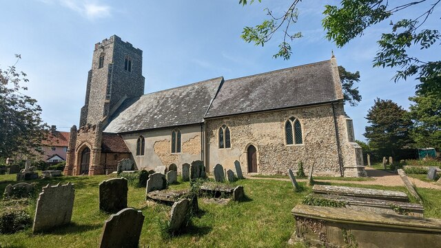
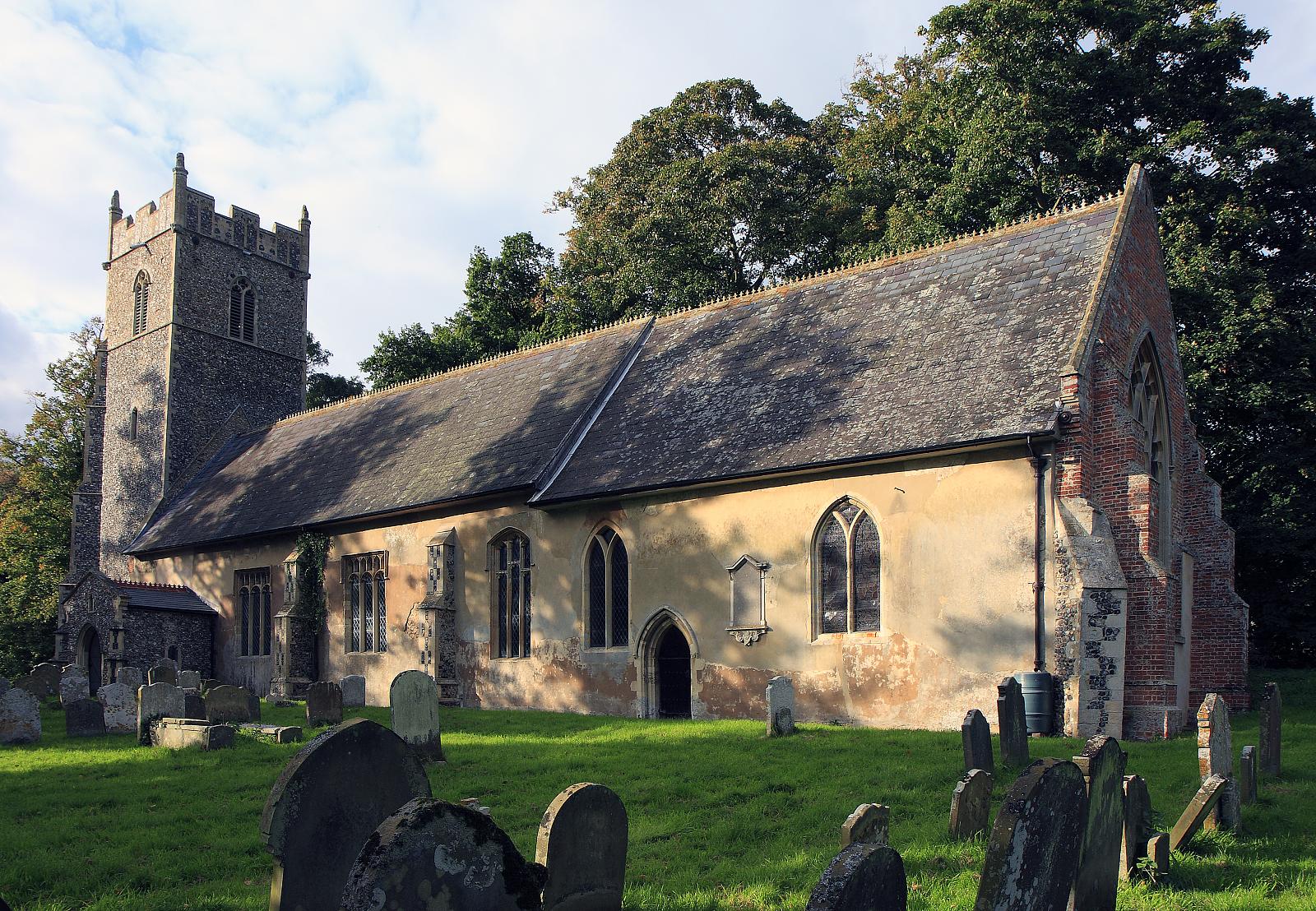
St Margaret's Church, Stoven, Near Halesworth Suffolk

After seeing this church I am thinking of renaming the channel great and not so great British Churches. The Victorian's thought it ...
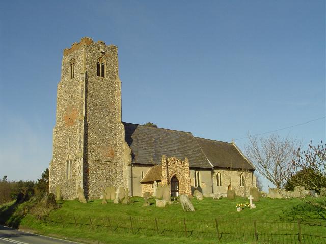
Uggeshall Church

Funds were available for a tower for St. Mary's but they never quite got round to building it.

Handling

Helen's.

High

Woman.

Nearby Amenities

Located within 500m of 52.3849,1.5843751
Bus Stop
Shelter
Naptan AtcoCode: 390060999
Naptan Bearing: W
Naptan CommonName: Shelter
Naptan Indicator: o/s
Naptan Landmark: Shelter
Naptan NaptanCode: sufjmdtj
Naptan Street: Southwold Road
Naptan Verified: no
Source: naptan_import
Lat/Long: 52.3834029/1.5780048
Bus Stop
Shelter
Naptan AtcoCode: 390061000
Naptan Bearing: E
Naptan BusStopType: CUS
Naptan CommonName: Shelter
Naptan Indicator: opp
Naptan Landmark: Shelter
Naptan NaptanCode: sufjmdtm
Naptan Street: Southwold Road
Naptan Verified: no
Source: naptan_import
Lat/Long: 52.3834648/1.5780392
School
Naptan AtcoCode: 390061001
Naptan Bearing: E
Naptan BusStopType: CUS
Naptan CommonName: School
Naptan Indicator: o/s
Naptan Landmark: School
Naptan NaptanCode: sufjmdtp
Naptan Street: Southwold Road
Naptan Verified: no
Source: naptan_import
Lat/Long: 52.3829968/1.5810147
Turning Circle
Lat/Long: 52.3841457/1.5790599
The data included in this document is from www.openstreetmap.org. The data is made available under ODbL.

Have you been to Stoven Wood?

Leave your review of Stoven Wood below (or comments, questions and feedback).