Ferry Lane Belt

Wood, Forest in Suffolk East Suffolk

England

Ferry Lane Belt

Sunset over the Aldeburgh Marshes, Aldeburgh Suffolk Looking south west across Short Reach River Alde towards Cawton
Sunset over the Aldeburgh Marshes, Aldeburgh Suffolk Credit: John Winfield

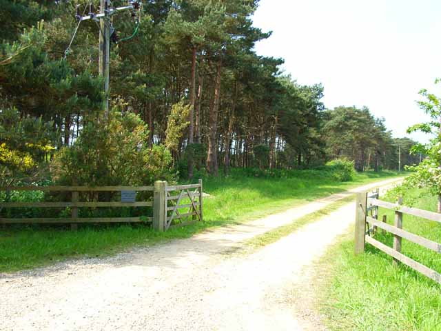
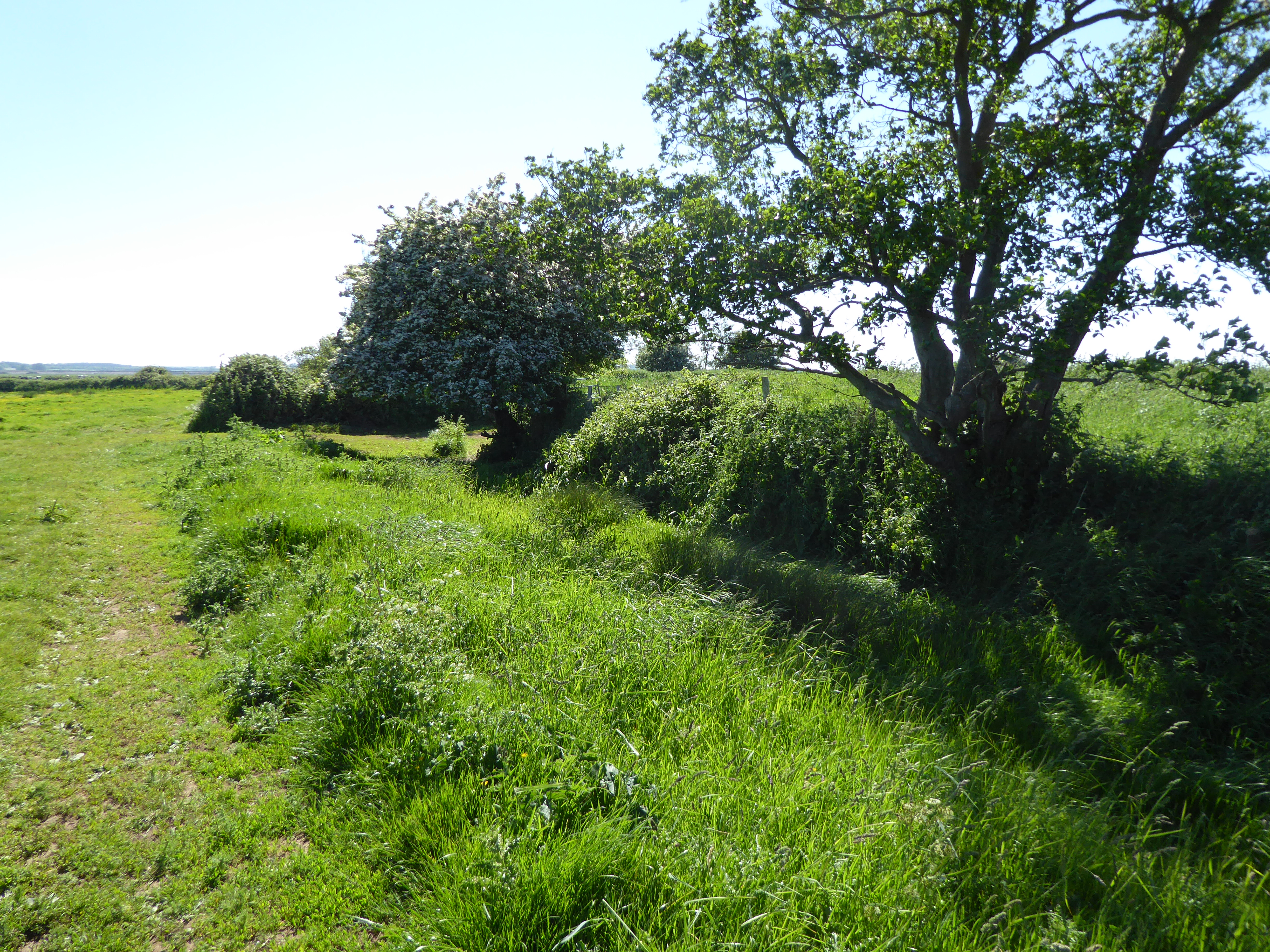
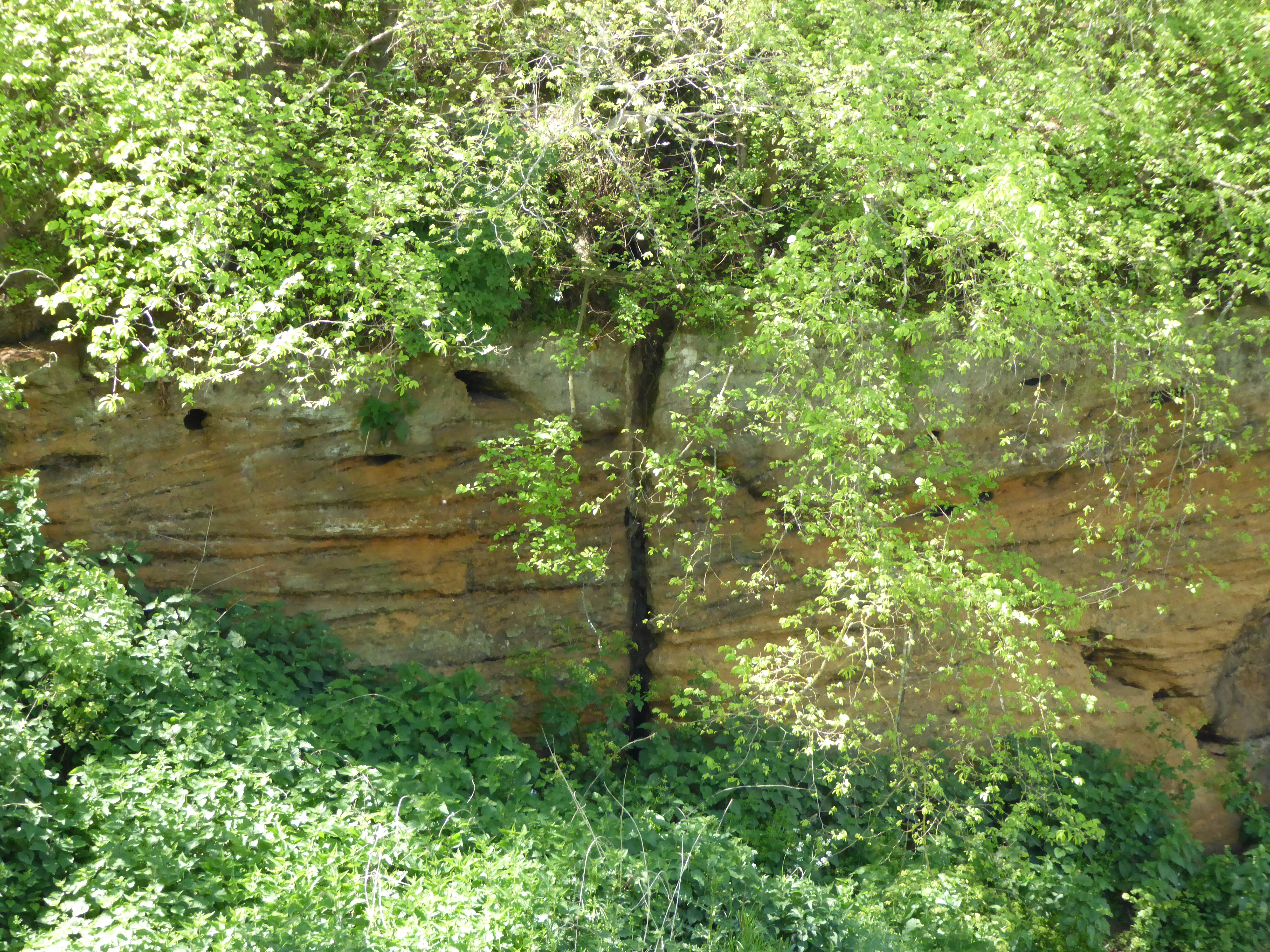
Ferry Lane Belt is a picturesque woodland area located in Suffolk, England. Situated near the town of Woodbridge, this forested area covers approximately 200 acres and offers a tranquil escape from the hustle and bustle of city life.

The woodland is characterized by a diverse range of tree species, including oak, beech, and birch, among others. These trees create a dense canopy that provides shade and shelter for a variety of wildlife, making it a popular spot for nature enthusiasts and birdwatchers.

Ferry Lane Belt is crisscrossed by a network of walking trails, allowing visitors to explore the area and enjoy its natural beauty. The paths wind through the forest, leading to hidden clearings and small ponds, adding to the enchanting atmosphere of the woodland.

One of the highlights of Ferry Lane Belt is its vibrant display of wildflowers during the spring and summer months. Bluebells, primroses, and foxgloves carpet the forest floor, creating a stunning tapestry of colors.

The woodland is also home to a diverse array of wildlife, including deer, foxes, and rabbits. Bird species such as woodpeckers, owls, and warblers can be spotted among the treetops, adding to the rich biodiversity of the area.

Overall, Ferry Lane Belt in Suffolk offers a serene and idyllic setting for nature lovers and outdoor enthusiasts. With its lush greenery, diverse wildlife, and peaceful ambiance, it is a true haven for those seeking a connection with nature.

If you have any feedback on the listing, please let us know in the comments section below.

Ferry Lane Belt Images

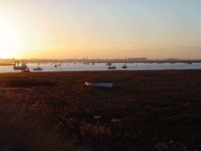
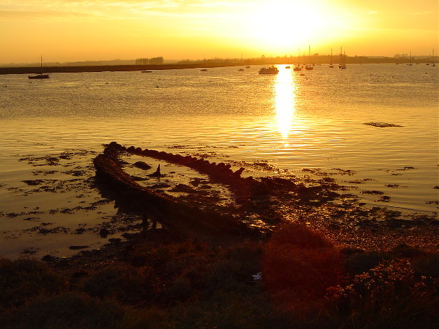
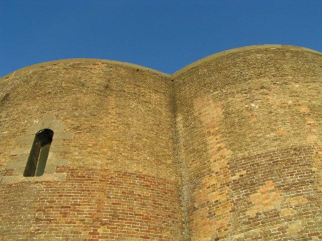
Images are sourced within 2km of 52.136738/1.573637 or Grid Reference TM4454. Thanks to Geograph Open Source API. All images are credited.

Sunset over the Aldeburgh Marshes, Aldeburgh Suffolk Looking south west across Short Reach River Alde towards Cawton
Sunset over the Aldeburgh Marshes, Aldeburgh Suffolk
Looking south west across Short Reach River Alde towards Cawton
Westrow Reach, River Alde, Aldeburgh, Suffolk Skeleton of a long abandoned boat revealed at low water - looking south west from Aldeburgh Marshes
Westrow Reach, River Alde, Aldeburgh, Suffolk
Skeleton of a long abandoned boat revealed at low water - looking south west from Aldeburgh Marshes
Martello Tower One of a series of towers protecting the east coast
Martello Tower
One of a series of towers protecting the east coast
Red House Farm, near Sudbourne, Suffolk Looking due east.  On the horizon can just be seen the shingle bank and North Sea.
Red House Farm, near Sudbourne, Suffolk
Looking due east. On the horizon can just be seen the shingle bank and North Sea.
"The Perfect Lawn" - near Sudbourne, Suffolk The light sandy soil in this area is ideal for growing lawn turf. They even manage to get the stripe effect of the perfect lawn!
"The Perfect Lawn" - near Sudbourne, Suffolk
The light sandy soil in this area is ideal for growing lawn turf. They even manage to get the stripe effect of the perfect lawn!
Aldeburgh Marshes, Aldeburgh, Suffolk
Shelter belt and driveway leading to Marshland House Near Sudbourne.
Shelter belt and driveway leading to Marshland House
Near Sudbourne.
Field near High Street, Iken The Long Reach of the Alde Estuary can be seen in the background.
Field near High Street, Iken
The Long Reach of the Alde Estuary can be seen in the background.
Martello Tower near Aldeburgh This is the most northerly Martello Tower built in England as part of the defences against a possible invasion by Napoleon.  Invasion by the sea is now a greater problem, and the outer defence work of the tower has fallen victim to coastal erosion.  The tower is owned by the Landmark Trust and is available for rent as a holiday house.
Martello Tower near Aldeburgh
This is the most northerly Martello Tower built in England as part of the defences against a possible invasion by Napoleon. Invasion by the sea is now a greater problem, and the outer defence work of the tower has fallen victim to coastal erosion. The tower is owned by the Landmark Trust and is available for rent as a holiday house.
North Sea coast south of Aldeburgh A fisherman tries his luck from the shingle beach near the Martello Tower
North Sea coast south of Aldeburgh
A fisherman tries his luck from the shingle beach near the Martello Tower
A walk to the River Alde, Suffolk This photograph shows the track/public footpath that leads to Westrow Reach on the River Alde in Suffolk. Approximately 100m behind the photographer’s viewpoint is the unclassified road from which, at a right-angled bend, the track begins. Ahead the track turns off to Cowton Farm whilst the public footpath continues towards the river.
A walk to the River Alde, Suffolk
This photograph shows the track/public footpath that leads to Westrow Reach on the River Alde in Suffolk. Approximately 100m behind the photographer’s viewpoint is the unclassified road from which, at a right-angled bend, the track begins. Ahead the track turns off to Cowton Farm whilst the public footpath continues towards the river.
A walk to the River Alde, Suffolk This photograph shows the public footpath that leads to Westrow Reach on the River Alde in Suffolk. Approximately 100m behind the photographer’s viewpoint is the point at which the track/public footpath divided, one branch (the track) leading north to Cowton Farm and this branch (the footpath) continuing on towards the river. The OS map records this as a track almost all the way to the river, however just a little further ahead the path becomes impassable to any vehicle except, perhaps, a bicycle.
A walk to the River Alde, Suffolk
This photograph shows the public footpath that leads to Westrow Reach on the River Alde in Suffolk. Approximately 100m behind the photographer’s viewpoint is the point at which the track/public footpath divided, one branch (the track) leading north to Cowton Farm and this branch (the footpath) continuing on towards the river. The OS map records this as a track almost all the way to the river, however just a little further ahead the path becomes impassable to any vehicle except, perhaps, a bicycle.
A Walk to the River Alde, Suffolk This photograph is looking over a cornfield towards, in the middle distance, the River Alde. Beyond the river are the Aldeburgh Marshes and in the far distance (look for the white dome standing just above the tree-line) is the Sizewell nuclear power station. In the distance, and to the right of the picture, are the outskirts of Aldeburgh
A Walk to the River Alde, Suffolk
This photograph is looking over a cornfield towards, in the middle distance, the River Alde. Beyond the river are the Aldeburgh Marshes and in the far distance (look for the white dome standing just above the tree-line) is the Sizewell nuclear power station. In the distance, and to the right of the picture, are the outskirts of Aldeburgh
A Walk to the River Alde, Suffolk This photograph is of Westrow Reach on the River Alde, Suffolk. The built-up area in the (left) distance is Aldeburgh whilst more towards the right is an area of the town called Fort Green. A large number of pleasure vessels can be seen moored on the river.
A Walk to the River Alde, Suffolk
This photograph is of Westrow Reach on the River Alde, Suffolk. The built-up area in the (left) distance is Aldeburgh whilst more towards the right is an area of the town called Fort Green. A large number of pleasure vessels can be seen moored on the river.
A Walk to the River Alde, Suffolk This photograph is of Westrow Reach looking inland towards Short Reach on the River Alde, Suffolk. In the middle distance on the left is a cornfield that forms the edge of the cultivated land. From the field to the river the land is scrub and marsh.
A Walk to the River Alde, Suffolk
This photograph is of Westrow Reach looking inland towards Short Reach on the River Alde, Suffolk. In the middle distance on the left is a cornfield that forms the edge of the cultivated land. From the field to the river the land is scrub and marsh.
Orford Ness, Lantern Marsh Shingle Ridge Here at the north end of Orford Ness, the shingle ridge is only 50-70m wide. The photo shows the scarce sea pea in the foreground. Orford Ness is owned and cared for by The National Trust.
Orford Ness, Lantern Marsh Shingle Ridge
Here at the north end of Orford Ness, the shingle ridge is only 50-70m wide. The photo shows the scarce sea pea in the foreground. Orford Ness is owned and cared for by The National Trust.
View along Sudbourne Beach Picture taken from top of the Martello Tower
View along Sudbourne Beach
Picture taken from top of the Martello Tower
Aldeburgh Marsh dyke and the River Alde near Stanny Point
Show me another place!

Ferry Lane Belt is located at Grid Ref: TM4454 (Lat: 52.136738, Lng: 1.573637)

Administrative County: Suffolk

District: East Suffolk

Police Authority: Suffolk

What 3 Words

///confirms.turkey.besotted. Near Aldeburgh, Suffolk

Nearby Locations

Ferry Lane Belt

Related Wikis

Red House Farm Pit

Red House Farm Pit is a 0.5-hectare (1.2-acre) geological Site of Special Scientific Interest east of Wickham Market in Suffolk. It is a Geological Conservation...

Aldeburgh Hall Pit

Aldeburgh Hall Pit is a one hectare geological Site of Special Scientific Interest in Aldeburgh in Suffolk. It is a Geological Conservation Review site...

Valley Farm Pit, Sudbourne

Valley Farm Pit, Sudbourne is a 0.5-hectare (1.2-acre) geological Site of Special Scientific Interest north of Orford in Suffolk. It is a Geological Conservation...

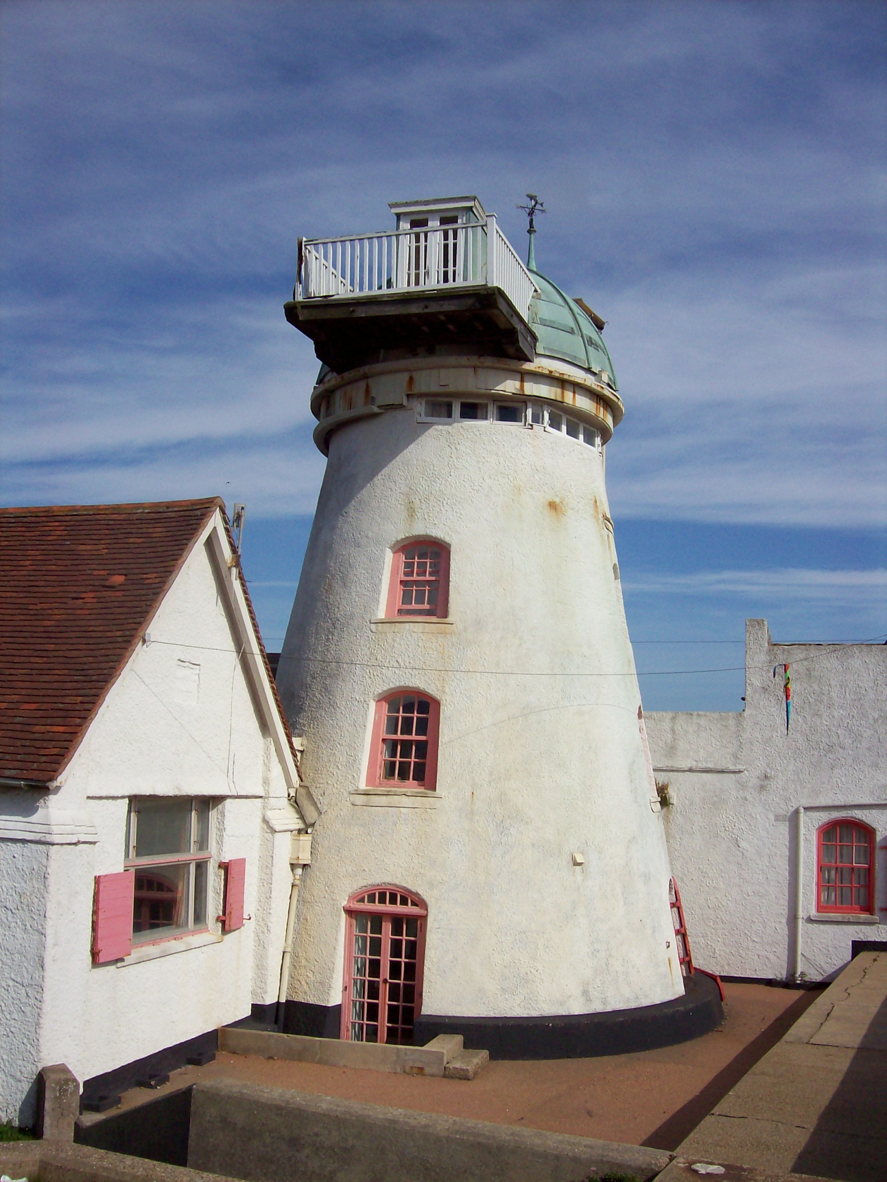
Fort Green Mill, Aldeburgh

Fort Green Mill is a tower mill at Aldeburgh, Suffolk, England which has been converted to residential accommodation. == History == Fort Green Mill was...

Nearby Amenities

Located within 500m of 52.136738,1.573637
Ford: yes
Lat/Long: 52.133556/1.574657
The data included in this document is from www.openstreetmap.org. The data is made available under ODbL.

Have you been to Ferry Lane Belt?

Leave your review of Ferry Lane Belt below (or comments, questions and feedback).