Ashley Wood
Wood, Forest in Suffolk East Suffolk
England
Ashley Wood
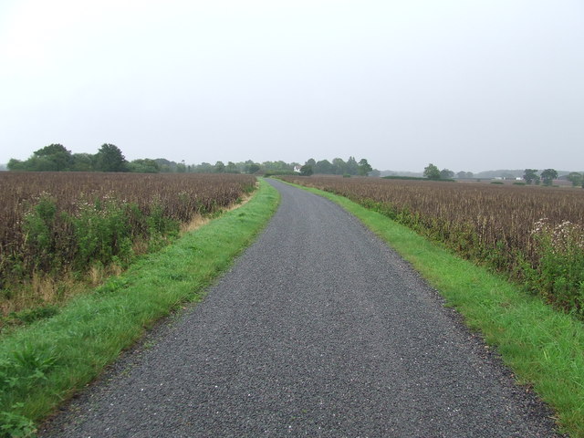
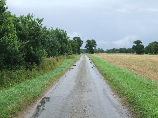
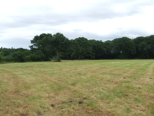
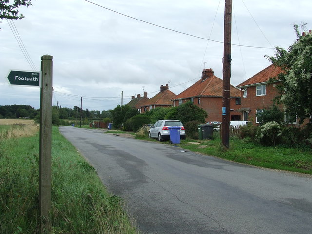
Ashley Wood is a small village located in the county of Suffolk, England. Situated in the eastern part of the county, it is surrounded by lush greenery and beautiful countryside, making it an ideal place for nature lovers and those seeking a peaceful retreat.
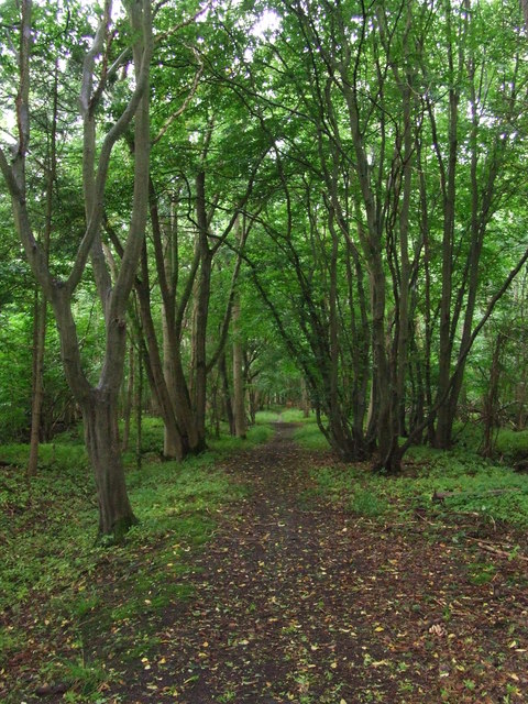
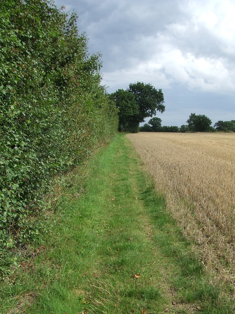
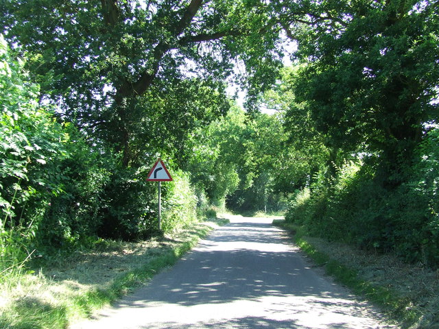
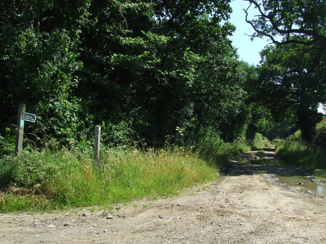
The village is known for its dense woodland, which covers a significant portion of the area. The forest in Ashley Wood is home to a diverse range of flora and fauna, including a variety of tree species such as oak, beech, and birch. This woodland provides an excellent habitat for wildlife, with sightings of deer, foxes, and various bird species being common.
The village itself is relatively small, with a tight-knit community of residents who enjoy the tranquility and natural beauty of their surroundings. The houses in Ashley Wood are predominantly traditional cottages, giving the area a charming and rustic feel.
Despite its rural location, Ashley Wood is within close proximity to several amenities and attractions. The nearby town of Bury St. Edmunds offers a range of shops, restaurants, and leisure facilities, providing residents with convenient access to everyday essentials and entertainment options.
Overall, Ashley Wood is a picturesque village in Suffolk, known for its enchanting forest and peaceful atmosphere. It is a place where residents can enjoy the beauty of nature while still being within reach of modern conveniences.
If you have any feedback on the listing, please let us know in the comments section below.
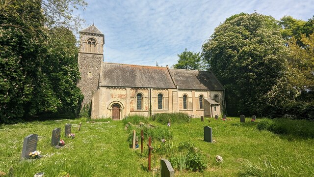
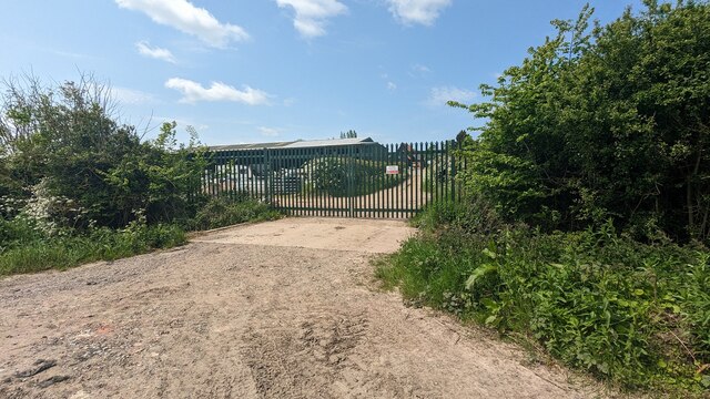
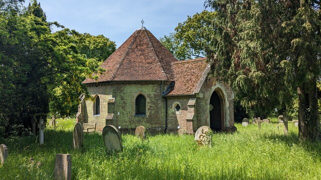
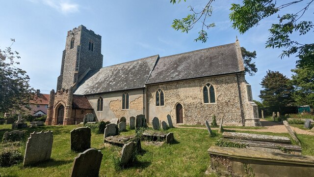
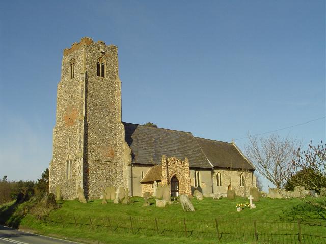
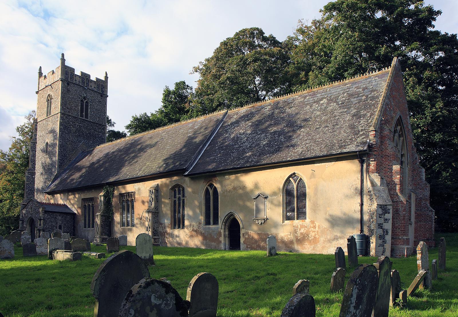
Ashley Wood Images
Images are sourced within 2km of 52.3957/1.5945143 or Grid Reference TM4483. Thanks to Geograph Open Source API. All images are credited.


Ashley Wood is located at Grid Ref: TM4483 (Lat: 52.3957, Lng: 1.5945143)
Administrative County: Suffolk
District: East Suffolk
Police Authority: Suffolk
What 3 Words
///cleansed.dust.constrain. Near Beccles, Suffolk
Nearby Locations
Related Wikis
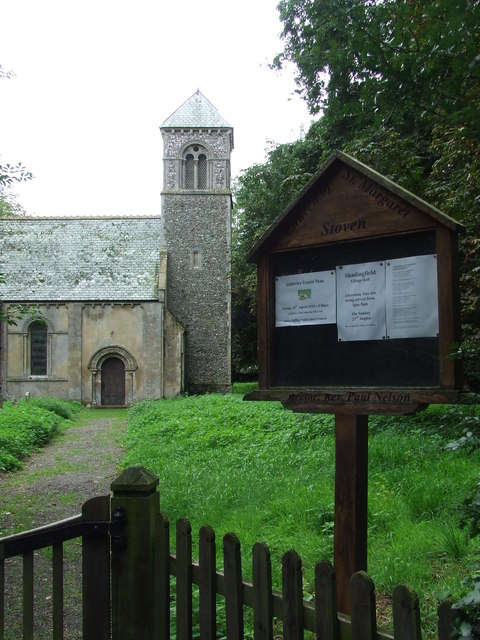
Shadingfield
Shadingfield is a village and civil parish in the East Suffolk district of the English county of Suffolk. It is located around 4 miles (6.4 km) south of...

A145 road
The A145 is an A road in the English county of Suffolk. It runs from east of the town of Beccles, close to the border with Norfolk, to the village of Blythburgh...

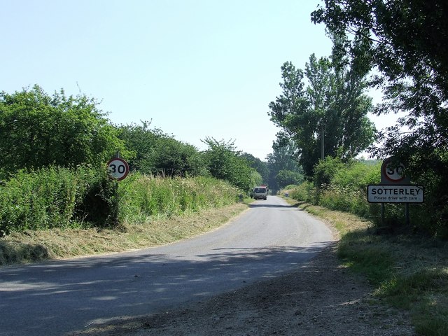
Sotterley
Sotterley, originally Southern-lea from its situation south of the river, is a village and civil parish in the East Suffolk district, in the English county...

Brampton with Stoven
Brampton with Stoven is a civil parish in the East Suffolk district of the English county of Suffolk. It is located 6 miles (9.7 km) south of the town...
Brampton, Suffolk
Brampton is a village and former civil parish, now in the parish of Brampton with Stoven, in the East Suffolk district, in the county of Suffolk, England...

Stoven
Stoven is a village and former civil parish now in the parish of Brampton with Stoven, in the East Suffolk district of the English county of Suffolk. It...

Willingham St Mary
Willingham St Mary, also known simply as Willingham, is a village and civil parish in the English county of Suffolk located about 3.5 miles (6 km) south...

Titsal Wood, Shadingfield
Titsal Wood, Shadingfield is a 14.7-hectare (36-acre) biological Site of Special Scientific Interest south-west of Shadingfield in Suffolk.This ancient...
Have you been to Ashley Wood?
Leave your review of Ashley Wood below (or comments, questions and feedback).