Ellough Wood

Wood, Forest in Suffolk East Suffolk

England

Ellough Wood

BA helicopter at Beccles Heliport (1965) After the war the airport remained dormant until 1965 when it became Beccles Heliport, serving North Sea oil and gas rigs. Operation of the heliport was transferred to Norwich International Airport in the 1990s.
BA helicopter at Beccles Heliport (1965) Credit: Adrian S Pye

Ellough Wood is a picturesque forest located in Suffolk, England. Covering an area of approximately 200 acres, it is a popular destination for nature enthusiasts and outdoor enthusiasts alike. The forest is situated near the village of Ellough and is easily accessible by road.

Ellough Wood boasts a diverse range of flora and fauna, making it an ideal location for wildlife spotting and birdwatching. The forest is home to a variety of tree species, including oak, beech, and pine, which provide a rich habitat for numerous woodland creatures. Visitors may have the chance to spot deer, foxes, rabbits, and a wide array of bird species, such as woodpeckers and owls.

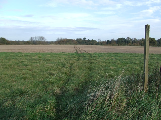
The forest offers several well-maintained walking trails, allowing visitors to explore its natural beauty at their own pace. These trails wind through the forest, offering stunning views of the surrounding landscape and providing opportunities for peaceful walks and picnics.

Additionally, Ellough Wood is known for its recreational activities. The forest features a designated mountain biking trail, which attracts biking enthusiasts from all over the region. There is also a popular paintballing facility within the forest, providing an adrenaline-fueled experience for thrill-seekers.

Overall, Ellough Wood is a charming and diverse woodland that offers a range of activities for nature lovers and adventure seekers alike. With its stunning natural scenery, abundant wildlife, and recreational opportunities, it is no wonder that the forest is a beloved destination for locals and visitors alike.

If you have any feedback on the listing, please let us know in the comments section below.
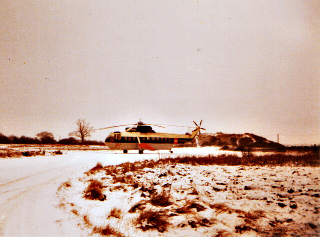
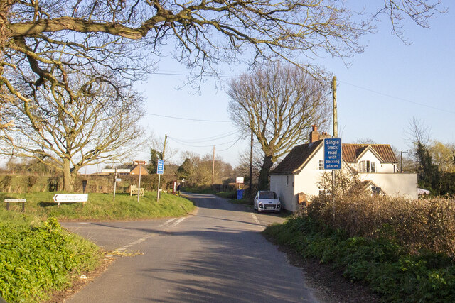
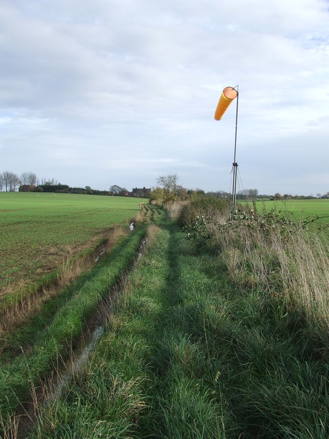
Ellough Wood Images

Images are sourced within 2km of 52.431455/1.5983089 or Grid Reference TM4487. Thanks to Geograph Open Source API. All images are credited.

BA helicopter at Beccles Heliport (1965) After the war the airport remained dormant until 1965 when it became Beccles Heliport, serving North Sea oil and gas rigs. Operation of the heliport was transferred to Norwich International Airport in the 1990s.
BA helicopter at Beccles Heliport (1965)
After the war the airport remained dormant until 1965 when it became Beccles Heliport, serving North Sea oil and gas rigs. Operation of the heliport was transferred to Norwich International Airport in the 1990s.
Ellough
Ellough
Solar Farm
Solar Farm
Marsh Farm Converted vernacular farm buildings at Marsh Farm
Marsh Farm
Converted vernacular farm buildings at Marsh Farm
Small serpentine wall in Rowan Way A serpentine or crinkle-crankle wall was initially designed to save bricks and reduce to cost of building walls. Suffolk seems to be the historical birthplace of the metamorphic remodelling of the straightforward into the curiously peculiar.
A wavy wall can be built with the thickness of a single brick and is self supporting even in very strong winds whereas a straight wall requires a thickness of at least two bricks (9 inches) and even buttresses if raised over about three feet.

Wikipedia has a few words to add: A crinkle crankle wall, also known as a crinkum crankum, slangenmuur  (snake-wall) sinusoidal, serpentine, ribbon or wavy wall, is an unusual type of structural or garden wall built in a serpentine shape with alternating curves, originally used in Ancient Egypt, but also typically found in Suffolk in England.
The alternate convex and concave curves in the wall provide stability and help it to resist lateral forces,  leading to greater strength than a straight wall of the same thickness of bricks without the need for buttresses.
The phrase "crinkle crankle" is an ablaut reduplication, defined as something with bends and turns, first attested in 1598 (though "crinkle" and "crankle" have somewhat longer histories).
Small serpentine wall in Rowan Way
A serpentine or crinkle-crankle wall was initially designed to save bricks and reduce to cost of building walls. Suffolk seems to be the historical birthplace of the metamorphic remodelling of the straightforward into the curiously peculiar. A wavy wall can be built with the thickness of a single brick and is self supporting even in very strong winds whereas a straight wall requires a thickness of at least two bricks (9 inches) and even buttresses if raised over about three feet. Wikipedia has a few words to add: A crinkle crankle wall, also known as a crinkum crankum, slangenmuur (snake-wall) sinusoidal, serpentine, ribbon or wavy wall, is an unusual type of structural or garden wall built in a serpentine shape with alternating curves, originally used in Ancient Egypt, but also typically found in Suffolk in England. The alternate convex and concave curves in the wall provide stability and help it to resist lateral forces, leading to greater strength than a straight wall of the same thickness of bricks without the need for buttresses. The phrase "crinkle crankle" is an ablaut reduplication, defined as something with bends and turns, first attested in 1598 (though "crinkle" and "crankle" have somewhat longer histories).
Footpath Footpath across a field near to North Cove, Suffolk.
Footpath
Footpath across a field near to North Cove, Suffolk.
Path And Wind Sock Footpath and wind sock near to North Cove, Suffolk.
Path And Wind Sock
Footpath and wind sock near to North Cove, Suffolk.
Looking down the hill, Church Road, Ellough
Trees in Weston Churchyard
Part of Willingham Hall Out buildings at Willingham Hall near to Ellough, Suffolk.
Part of Willingham Hall
Out buildings at Willingham Hall near to Ellough, Suffolk.
Hulver Road Hulver Road with the junction of Warren's Lane leading to Hill Farm near Hulver Street, Suffolk.
Hulver Road
Hulver Road with the junction of Warren's Lane leading to Hill Farm near Hulver Street, Suffolk.
Farmland towards Worlingham
Field off Ellough Road
Industrial unit, Ellough Moor
Benacre Road, Ellough Moor Looking south east in the rain.
Benacre Road, Ellough Moor
Looking south east in the rain.
Field off Benacre Road The former Beccles Airfield.
Field off Benacre Road
The former Beccles Airfield.
Benacre Road (B1127) Heading south east.
Benacre Road (B1127)
Heading south east.
Solar farm off Benacre Road
Show me another place!

Ellough Wood is located at Grid Ref: TM4487 (Lat: 52.431455, Lng: 1.5983089)

Administrative County: Suffolk

District: East Suffolk

Police Authority: Suffolk

What 3 Words

///branching.just.measures. Near Beccles, Suffolk

Related Wikis

Ellough Park Raceway

Ellough Park Raceway is a kart racing track in Ellough in the English county of Suffolk. It is located around 2 miles (3 km) south-east of the market town...

Ellough

Ellough is a civil parish in the East Suffolk district of the English county of Suffolk, located approximately 3 miles (5 km) south-east of Beccles. The...

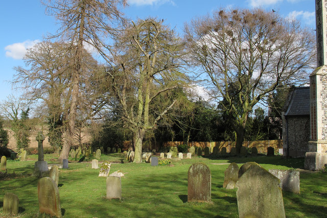
All Saints Church, Ellough

All Saints Church is a redundant Anglican church in the parish of Ellough, Suffolk, England. The church is medieval in origin and is recorded in the National...
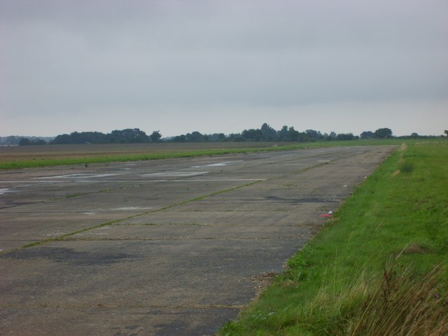
Beccles Airfield

Beccles Airfield, also known as Beccles Airport or Beccles Aerodrome (ICAO: EGSM), is located in Ellough, 2 NM (3.7 km; 2.3 mi) southeast of Beccles in...

Weston, Suffolk

Weston is a village and civil parish in the English county of Suffolk. It is around 2 miles (3 km) south of Beccles in the East Suffolk district. The parish...

Willingham St Mary

Willingham St Mary, also known simply as Willingham, is a village and civil parish in the English county of Suffolk located about 3.5 miles (6 km) south...

Worlingham

Worlingham is a village and civil parish in the East Suffolk district of the English county of Suffolk. It is about 1.3 miles (2.1 km) east of Beccles...

Worlingham Hall

Worlingham Hall is a Grade I listed Georgian country house in Worlingham, 1 mile (1.6 km) to the east of Beccles in the English county of Suffolk. The...

Nearby Amenities

Located within 500m of 52.431455,1.5983089
Power: pole
Lat/Long: 52.4279884/1.6004057
Power: pole
Lat/Long: 52.4284733/1.5986985
Power: pole
Lat/Long: 52.4289198/1.5970677
Power: pole
Lat/Long: 52.4294088/1.5954074
Power: pole
Lat/Long: 52.4298969/1.5939846
Power: pole
Lat/Long: 52.4303/1.5928526
Power: pole
Lat/Long: 52.4308356/1.5912406
Power: pole
Lat/Long: 52.4325724/1.5998156
Power: pole
Lat/Long: 52.4320916/1.6013243
Power: pole
Lat/Long: 52.4316713/1.6027191
Power: pole
Lat/Long: 52.4311014/1.604531
Power: pole
Lat/Long: 52.4275496/1.601956
The data included in this document is from www.openstreetmap.org. The data is made available under ODbL.

Have you been to Ellough Wood?

Leave your review of Ellough Wood below (or comments, questions and feedback).