Roundpark Wood
Wood, Forest in Norfolk South Norfolk
England
Roundpark Wood
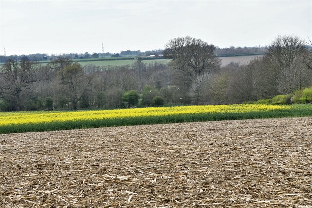
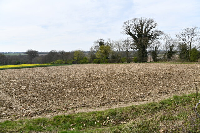
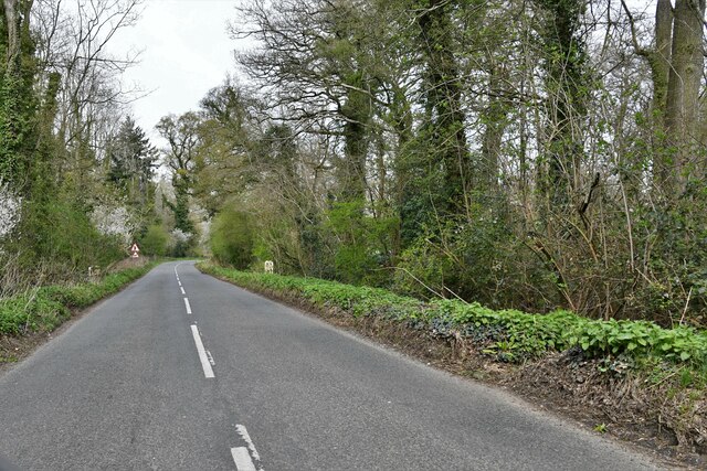
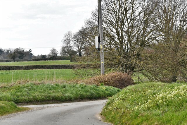
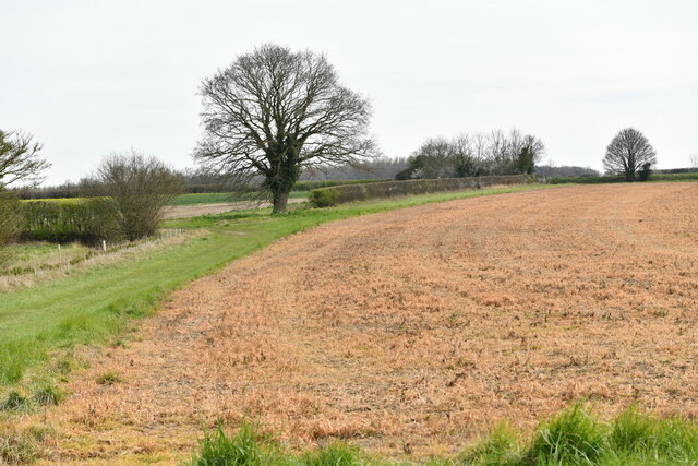
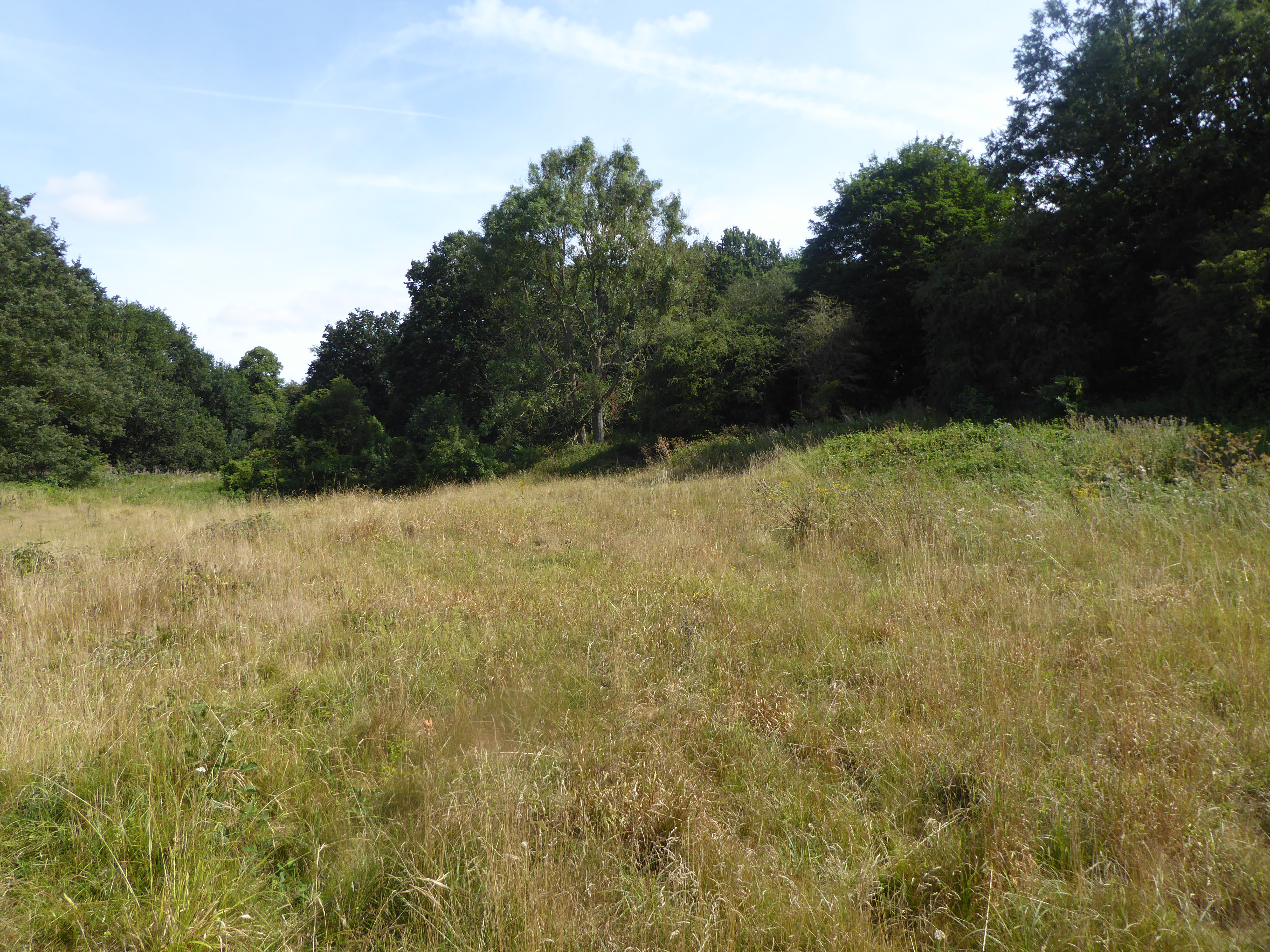
Roundpark Wood is a picturesque woodland located in the county of Norfolk, England. Nestled within the beautiful Norfolk countryside, this woodland is a haven for nature lovers and outdoor enthusiasts. Covering an area of approximately 50 acres, Roundpark Wood is home to a diverse range of flora and fauna.
The wood is primarily made up of deciduous trees such as oak, beech, and birch, which provide a stunning display of colors throughout the different seasons. In the spring, the woodland floor comes alive with a carpet of bluebells, creating a breathtaking sight. The thick foliage of the trees provides a habitat for various bird species, including woodpeckers, thrushes, and owls, making it a popular spot for birdwatching.
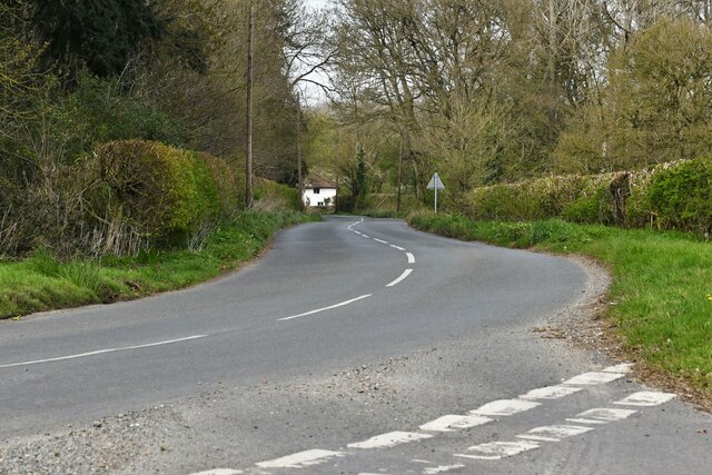
There are several well-maintained footpaths that wind through the wood, allowing visitors to explore its beauty at their own pace. The paths are surrounded by enchanting wildflowers and offer stunning views of the surrounding countryside. The wood is also intersected by a small stream, which adds to its charm and provides a peaceful atmosphere.
Roundpark Wood is a designated Site of Special Scientific Interest (SSSI) due to its rich biodiversity. It is managed by a local conservation trust, which ensures the protection and preservation of its natural habitat. The wood is open to the public year-round, and there are picnic areas and benches scattered throughout, providing a perfect spot to rest and enjoy the tranquility of the surroundings.
Overall, Roundpark Wood is a hidden gem in Norfolk, offering visitors a chance to immerse themselves in the beauty of nature and experience the peacefulness of a woodland setting.
If you have any feedback on the listing, please let us know in the comments section below.
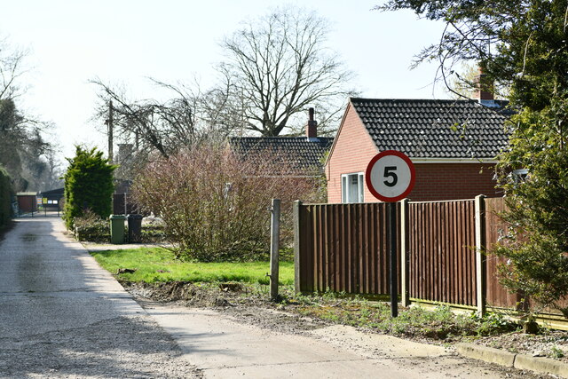
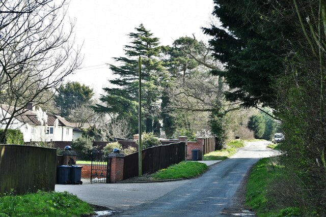
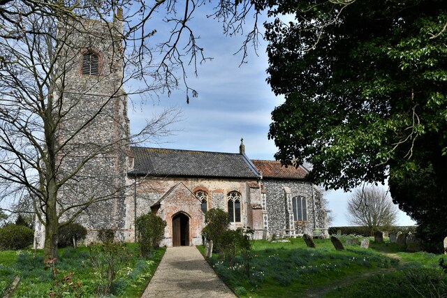
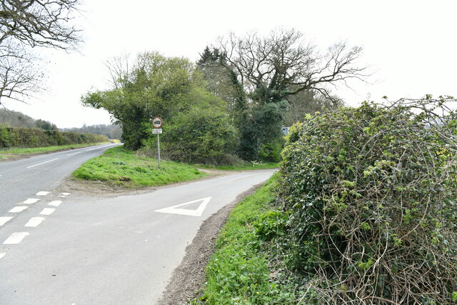
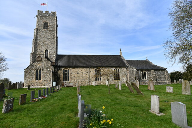
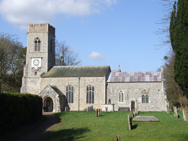
Roundpark Wood Images
Images are sourced within 2km of 52.544475/1.2919229 or Grid Reference TM2399. Thanks to Geograph Open Source API. All images are credited.
Roundpark Wood is located at Grid Ref: TM2399 (Lat: 52.544475, Lng: 1.2919229)
Administrative County: Norfolk
District: South Norfolk
Police Authority: Norfolk
What 3 Words
///umbrella.preheated.lousy. Near Mulbarton, Norfolk
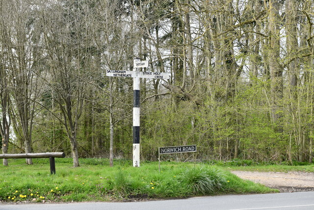
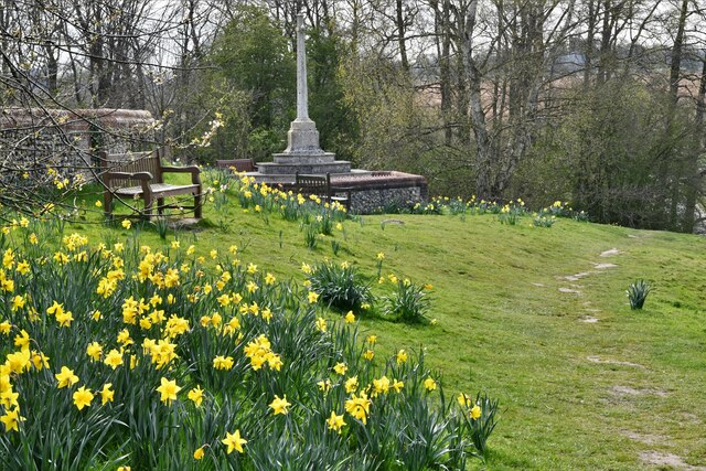
Nearby Locations
Related Wikis

Shotesham Common
Shotesham Common is a 21.6-hectare (53-acre) biological Site of Special Scientific Interest south of Norwich in Norfolk.This site consists of traditionally...
Smockmill Common
Smockmill Common is a 10-hectare (25-acre) Local Nature Reserve on the eastern outskirts of Newton Flotman in Norfolk. It is owned by the Shotesham Estate...
Saxlingham Nethergate
Saxlingham Nethergate is a village and civil parish in Norfolk, England, about 9.5 miles (15 km) south of Norwich. The civil parish has an area of 3.3...

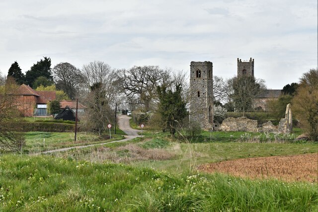
Shotesham
Shotesham () is a village in South Norfolk which lies approximately 5 miles south of Norwich. It sits next to Stoke Holy Cross and Saxlingham Nethergate...

Swainsthorpe
Swainsthorpe is a village in Norfolk, England. It lies on the A140 road, approximately 5 miles south of Norwich, and just north of Newton Flotman. It covers...
Swainsthorpe railway station
Swainsthorpe was a railway station in Swainsthorpe, England, around five miles south of Norwich. It was opened in 1850 when the Great Eastern Railway constructed...

Newton Flotman
Newton Flotman, meaning new farm or settlement, is a village and civil parish in the English county of Norfolk, lies about 7 miles (11 km) south of Norwich...

Stoke Holy Cross
Stoke Holy Cross is a village in South Norfolk which lies approximately 4 miles (6.4 km) south of Norwich. == Geography == Stoke sits on the River Tas...
Nearby Amenities
Located within 500m of 52.544475,1.2919229Have you been to Roundpark Wood?
Leave your review of Roundpark Wood below (or comments, questions and feedback).