Woolwich Wood
Wood, Forest in Kent Canterbury
England
Woolwich Wood
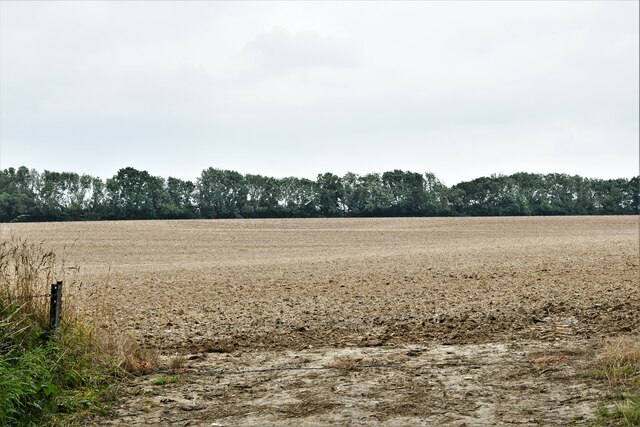
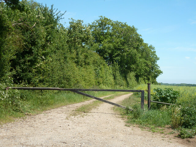
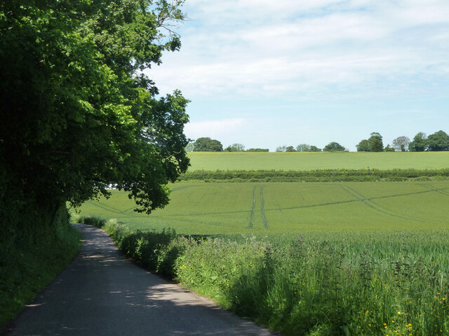
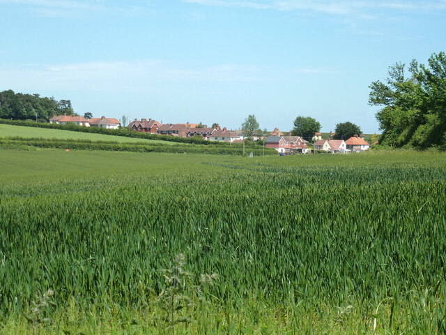
Woolwich Wood, located in Kent, England, is a picturesque forest area that offers visitors a tranquil and serene escape from the bustling city life. Covering an area of approximately 100 acres, this wood is a popular destination for nature enthusiasts, hikers, and families seeking outdoor activities.
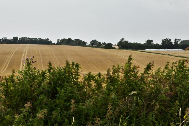
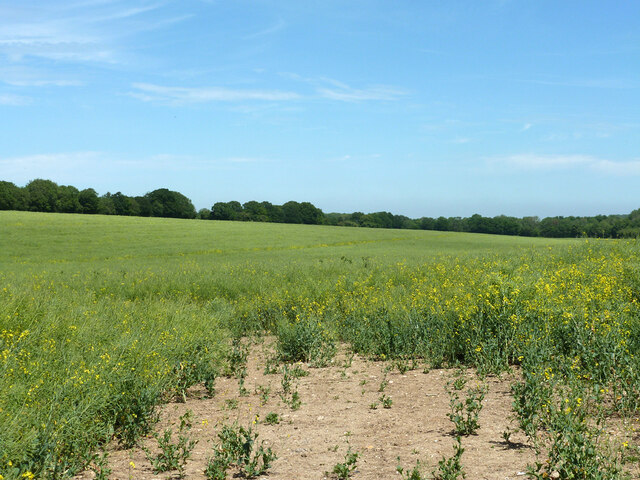
The wood is primarily composed of deciduous trees, including oak, ash, birch, and beech, creating a rich and diverse ecosystem. The dense foliage provides a cool and shaded environment, perfect for leisurely walks or picnics. In spring, the forest floor becomes a colorful carpet of bluebells, offering a stunning sight for visitors.
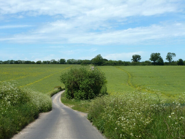
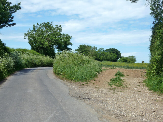
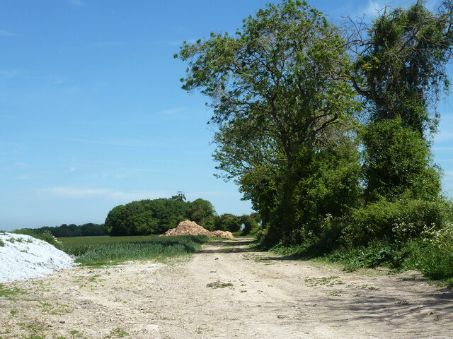
The wood is crisscrossed with well-maintained footpaths and trails, allowing visitors to explore its beauty at their own pace. These paths lead to various attractions within the wood, such as a charming pond inhabited by ducks, geese, and other waterfowl. The pond is often a hotspot for birdwatchers, who can spot a variety of avian species, including kingfishers and herons.
Woolwich Wood is also home to a wide range of wildlife, providing a natural habitat for foxes, rabbits, squirrels, and numerous bird species. The wood's diverse ecosystem offers ample opportunities for nature photography and observation.
The wood is equipped with visitor facilities, including picnic areas, benches, and parking spaces, making it an ideal destination for day trips or family outings. Additionally, the wood is easily accessible, located close to major transport links and neighboring towns.
Overall, Woolwich Wood in Kent offers a serene and enchanting experience, immersing visitors in the beauty of nature and providing an ideal destination for outdoor activities and relaxation.
If you have any feedback on the listing, please let us know in the comments section below.
Woolwich Wood Images
Images are sourced within 2km of 51.199446/1.1954635 or Grid Reference TR2349. Thanks to Geograph Open Source API. All images are credited.


Woolwich Wood is located at Grid Ref: TR2349 (Lat: 51.199446, Lng: 1.1954635)
Administrative County: Kent
District: Canterbury
Police Authority: Kent
What 3 Words
///waking.pits.icons. Near Barham, Kent
Nearby Locations
Related Wikis

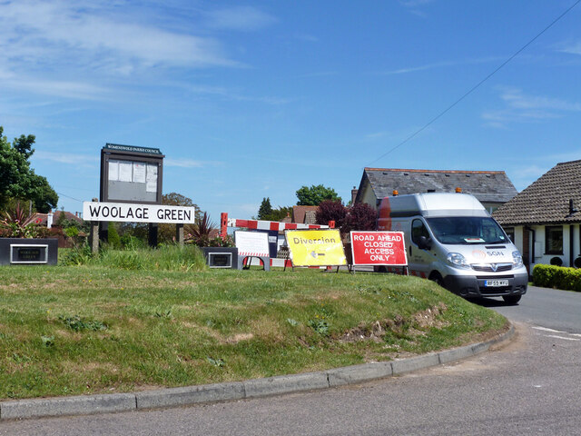
Woolage Green
Woolage Green is a small hamlet, situated about 7 miles (11 km) south-east of Canterbury, Kent, England, 1 mile to the east of the A2 road. Together with...

Woolage Village
Woolage Village is a former mining village situated midway between Canterbury and Dover in the English county of Kent. It is 1 mile (1.6 km) to the east...

Womenswold
Womenswold is a village and civil parish centred 7 miles (11 km) south-east of Canterbury, Kent, England, 1 mile to the east of the A2 road. The parish...
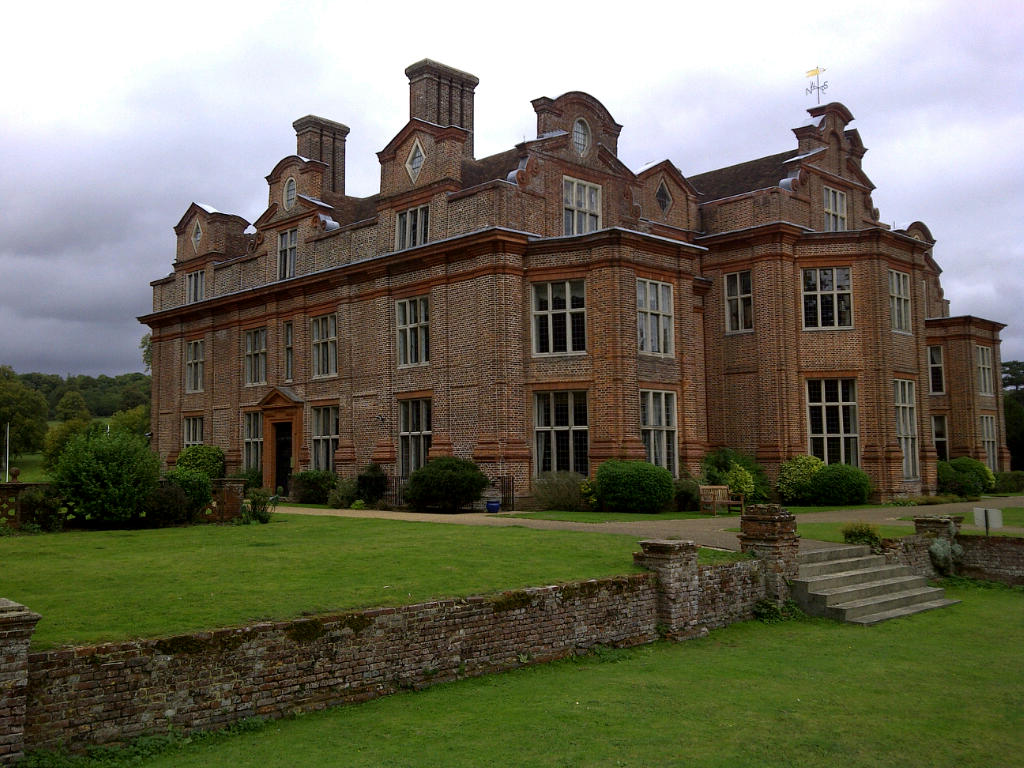
Broome Park
Broome Park is a country house in Barham, within the City of Canterbury, Kent, England. It was built for Basil Dixwell between 1635 and 1638. In the early...

Snowdown
Snowdown is a hamlet near Dover in Kent, England. It was the location of one of the four chief collieries of the Kent coalfield, which closed in 1987....

Snowdown railway station
Snowdown railway station is on the Dover branch of the Chatham Main Line in England, and serves the hamlet of Snowdown, Kent. It is 69 miles 60 chains...

Lydden Hill Race Circuit
Lydden Hill Race Circuit (formerly known as Lydden Circuit) is a motorsport venue in Denton with Wootton, about half-way between Canterbury and Dover in...
Black Mill, Barham
Black Mill or Barham Downs Mill was a smock mill at Barham, Kent, England which was accidentally burnt down in 1970 while under restoration. == History... ==
Nearby Amenities
Located within 500m of 51.199446,1.1954635Have you been to Woolwich Wood?
Leave your review of Woolwich Wood below (or comments, questions and feedback).