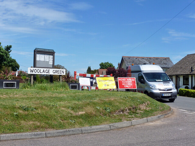
Woolage Green

Settlement in Kent Canterbury

England

Woolage Green

Woolage Green: Harvested crop
Woolage Green: Harvested crop Credit: Michael Garlick

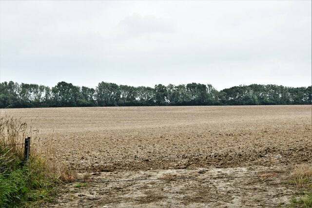
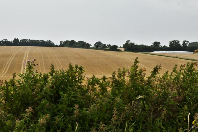
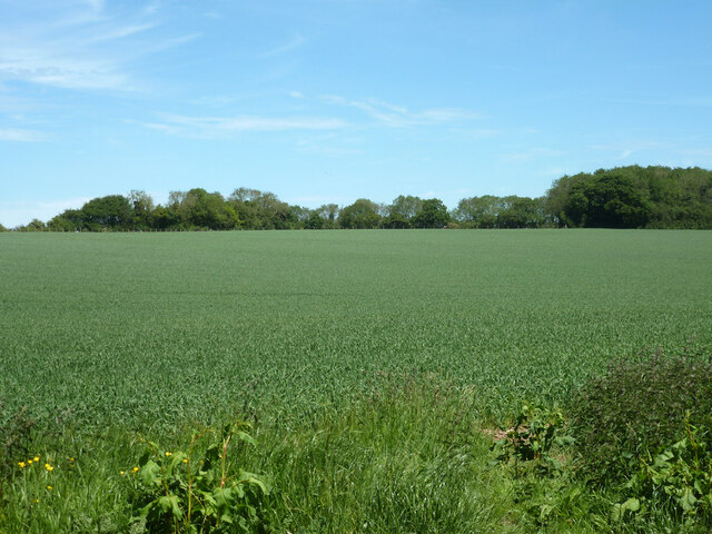
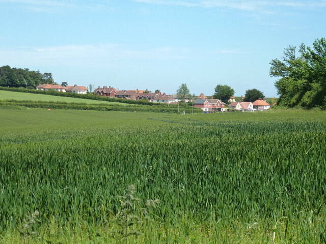
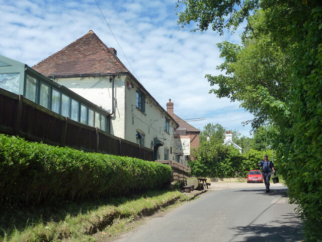
Woolage Green is a small village located in the county of Kent, in southeastern England. Situated in the Dover District, it is part of the civil parish of Nonington. The village is nestled in a rural setting, surrounded by picturesque countryside and farmland.

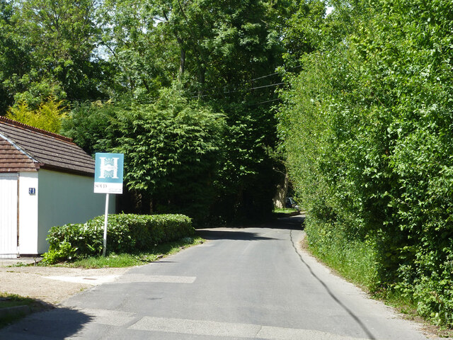
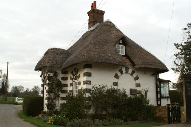
With a population of around 100 residents, Woolage Green exudes a peaceful and tranquil atmosphere. The village is characterized by its charming and quaint cottages, many of which date back several centuries. The architecture reflects the traditional style of the region, with timber-framed houses and thatched roofs.

Despite its size, the village boasts a strong sense of community. The local residents actively participate in various community initiatives and events. The village hall serves as a hub for social gatherings, meetings, and celebrations.

Woolage Green benefits from its proximity to the nearby town of Canterbury, which is located approximately 10 miles to the northwest. This allows residents to have easy access to a wider range of amenities, including shops, schools, and healthcare facilities.

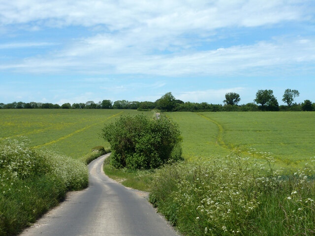
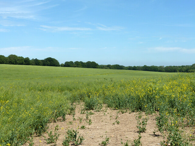
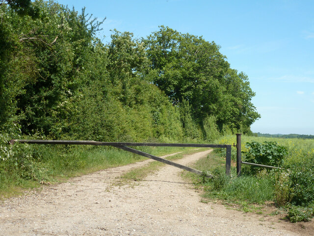
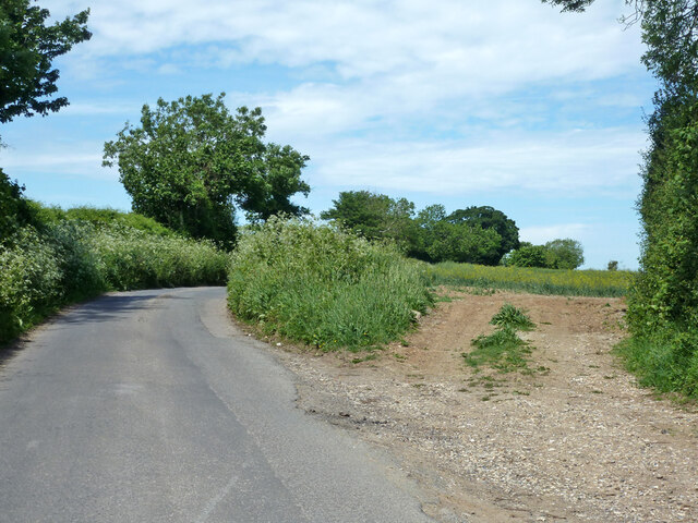
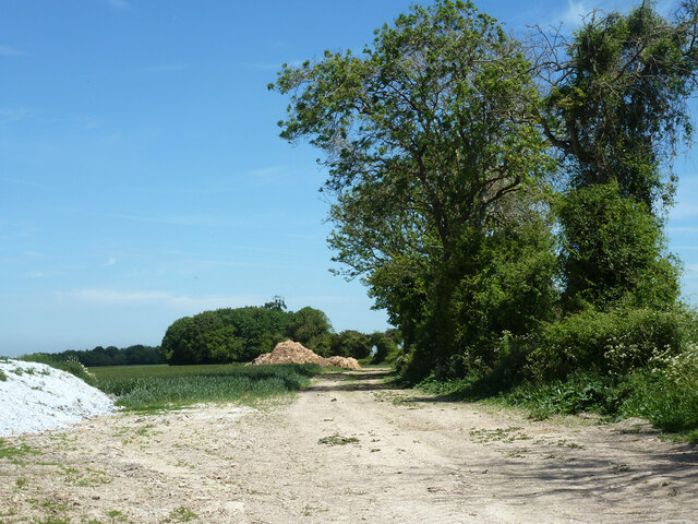
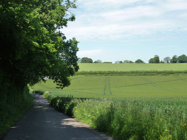
The village is surrounded by beautiful countryside, offering ample opportunities for outdoor activities such as walking, cycling, and exploring nature. The nearby Elham Valley provides stunning views and is a popular destination for hikers and nature enthusiasts.

Overall, Woolage Green is a charming and idyllic village that offers a peaceful and rural lifestyle, while still providing easy access to nearby amenities and attractions.

If you have any feedback on the listing, please let us know in the comments section below.

Woolage Green Images

Images are sourced within 2km of 51.198678/1.2008507 or Grid Reference TR2349. Thanks to Geograph Open Source API. All images are credited.

Woolage Green: Harvested crop
Shepherdswell: Harvested crop
Field north of Westcourt Lane, Shepherdswell It looks like wheat.
Field north of Westcourt Lane, Shepherdswell
It looks like wheat.
Westcourt Lane, Shepherdswell Heading out of the village towards Woolage Green.
Westcourt Lane, Shepherdswell
Heading out of the village towards Woolage Green.
Westcourt Lane Towards Woolage Green.
Westcourt Lane
Towards Woolage Green.
Field north of Westcourt Lane Oil-seed Rape.
Field north of Westcourt Lane
Oil-seed Rape.
Farm track with barrier Off Westcourt Lane.
Farm track with barrier
Off Westcourt Lane.
Westcourt Lane and field entrance off it Looking towards Woolage Green.
Westcourt Lane and field entrance off it
Looking towards Woolage Green.
Farm track with heaps near Woolage Green The hedge is an administrative boundary - Canterbury this side, Dover the other.
Farm track with heaps near Woolage Green
The hedge is an administrative boundary - Canterbury this side, Dover the other.
Lane heading away from Woolage Green
View towards Woolage Village
Road closure, Woolage Green The road some way along was dug up for gas purposes.
Road closure, Woolage Green
The road some way along was dug up for gas purposes.
The Two Sawyers, Woolage Green
Leighgate Bottom
Leighgate Bottom
Byway to Woolage Green
Nethersole Rd
Nethersole Rd
Leighgate Bottom
Leighgate Bottom
Nethersole Rd
Nethersole Rd
Show me another place!

Woolage Green is located at Grid Ref: TR2349 (Lat: 51.198678, Lng: 1.2008507)

Administrative County: Kent

District: Canterbury

Police Authority: Kent

What 3 Words

///clumped.romance.envoy. Near Shepherdswell, Kent

Related Wikis

Woolage Green

Woolage Green is a small hamlet, situated about 7 miles (11 km) south-east of Canterbury, Kent, England, 1 mile to the east of the A2 road. Together with...

Woolage Village

Woolage Village is a former mining village situated midway between Canterbury and Dover in the English county of Kent. It is 1 mile (1.6 km) to the east...

Womenswold

Womenswold is a village and civil parish centred 7 miles (11 km) south-east of Canterbury, Kent, England, 1 mile to the east of the A2 road. The parish...

Snowdown

Snowdown is a hamlet near Dover in Kent, England. It was the location of one of the four chief collieries of the Kent coalfield, which closed in 1987....

Snowdown railway station

Snowdown railway station is on the Dover branch of the Chatham Main Line in England, and serves the hamlet of Snowdown, Kent. It is 69 miles 60 chains...
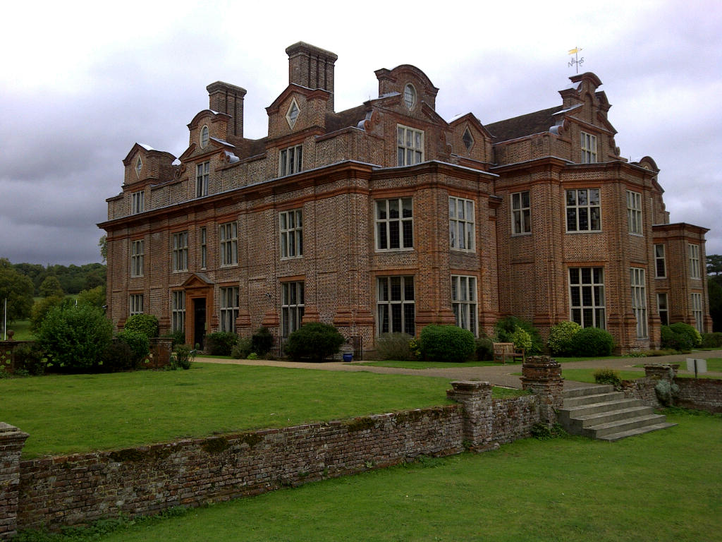
Broome Park

Broome Park is a country house in Barham, within the City of Canterbury, Kent, England. It was built for Basil Dixwell between 1635 and 1638. In the early...

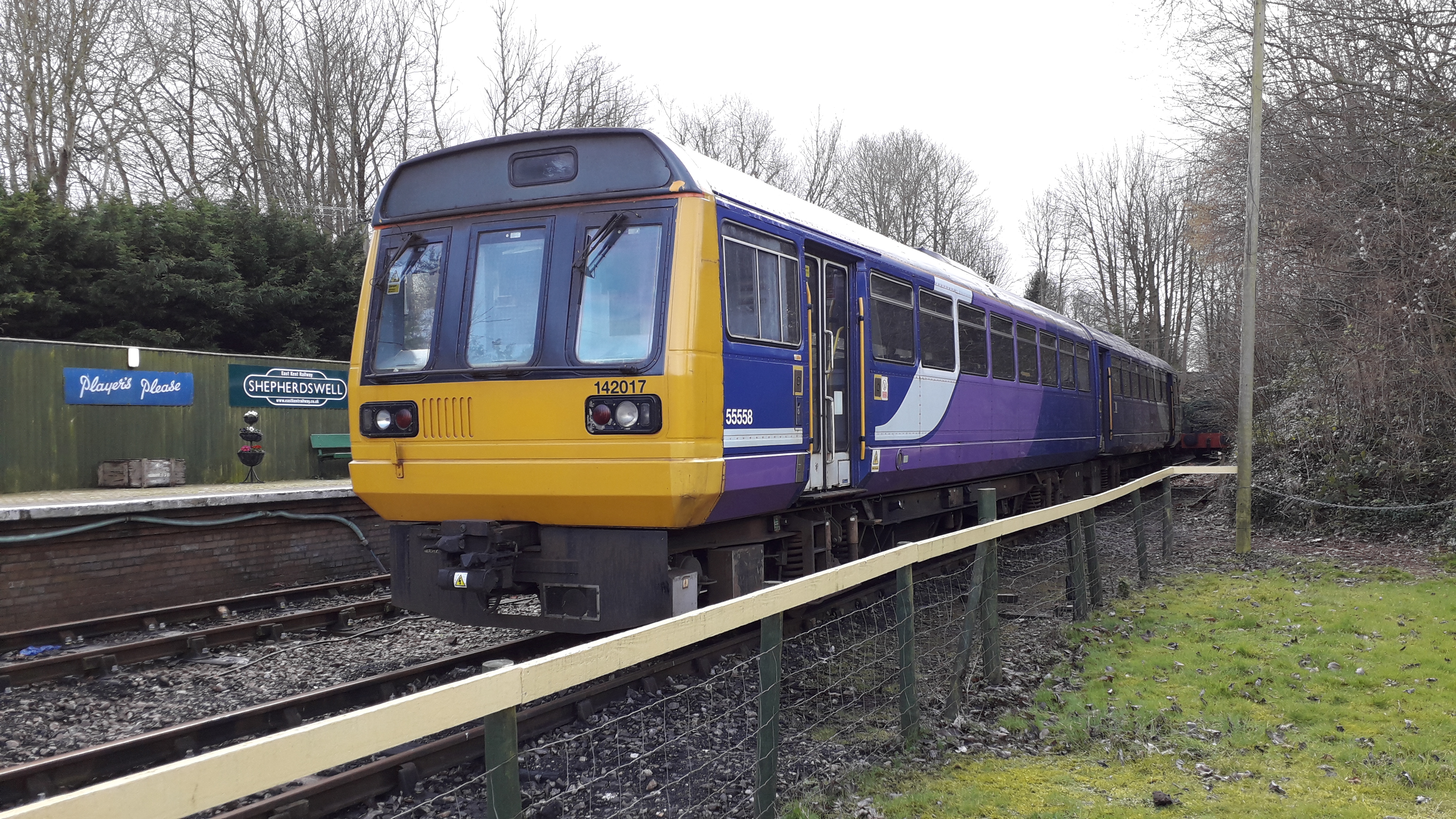
Shepherdswell railway station (EKLR)

Shepherdswell railway station is a station on the East Kent Railway. The southern terminus of the East Kent Light Railway, It opened on 16 October 1916...

Frogham, Kent

Frogham is a hamlet in the Dover District of East Kent, England, between Canterbury and Dover. It is located between the former coal mining village of...

Nearby Amenities

Located within 500m of 51.198678,1.2008507
Woolage Green
Is In: Kent, England, UK
Place: village
Source: NPE maps
Wikidata: Q3569874
Lat/Long: 51.1991267/1.2008894
Post Box
Collection Times: Mo-Fr 09:00; Sa 07:00
Operator: Royal Mail
Operator Wikidata: Q638098
Post Box Mounting: brick_pillar
Post Box Type: wall
Postal Code: CT4
Ref: CT4 81
Royal Cypher: VR
Royal Cypher Wikidata: Q33102356
Source: survey
Lat/Long: 51.1990809/1.2011308
Bus Stop
Woolage Green
Flag: no
Naptan AtcoCode: 2400A043450A
Naptan Bearing: N
Naptan BusStopType: CUS
Naptan CommonName: Woolage Green
Naptan Indicator: N-bound
Naptan Landmark: Chapel Cott
Naptan NaptanCode: kntdtpjp
Naptan Street: The Green
Naptan Verified: no
Public Transport: platform
Source: naptan_import
Lat/Long: 51.1991161/1.2010786
Pub
Two Sawyers
Addr City: Canterbury
Addr County: Kent
Addr Postcode: CT4 6SE
Addr Street: Westcourt Lane
Addr Village: Woolage Green
Fhrs Id: 1391841
Source Addr: FHRS Open Data
Wikidata: Q26621081
Lat/Long: 51.1984431/1.200805
Public Bookcase
Defibrillator
Access: yes
Booth: K6
Covered: booth
Defibrillator Location: inside the old red phone box (that is now used as book exchange) Woolage Green
Disused Amenity: telephone
Emergency: defibrillator
Listed Status: Grade II
Man Made: telephone_box
Old Phone: +44 1304 830418
Public Bookcase Type: phone_box
Lat/Long: 51.198734/1.2007854
Generator Method: photovoltaic
Generator Orientation: 207
Generator Output Electricity: yes
Generator Solar Modules: 10
Generator Source: solar
Generator Type: solar_photovoltaic_panel
Location: roof
Power: generator
Lat/Long: 51.1990153/1.2015391
Generator Method: photovoltaic
Generator Orientation: 207
Generator Output Electricity: yes
Generator Solar Modules: 6
Generator Source: solar
Generator Type: solar_photovoltaic_panel
Location: roof
Power: generator
Lat/Long: 51.1989847/1.201636
Generator Method: photovoltaic
Generator Output Electricity: yes
Generator Source: solar
Generator Type: solar_photovoltaic_panel
Location: roof
Power: generator
Lat/Long: 51.1993326/1.2015411
Information: guidepost
Tourism: information
Lat/Long: 51.1987821/1.2008707
Bench
Lat/Long: 51.1988849/1.200796
Leisure: picnic_table
Lat/Long: 51.1989118/1.2008112
Leisure: picnic_table
Lat/Long: 51.1989113/1.2008524
Advertising: board
Lat/Long: 51.1988788/1.2008407
Give Way
Direction: forward
Lat/Long: 51.1988137/1.2009056
Give Way
Direction: backward
Lat/Long: 51.1988183/1.2007925
Give Way
Direction: forward
Lat/Long: 51.1987165/1.2008605
The data included in this document is from www.openstreetmap.org. The data is made available under ODbL.

Have you been to Woolage Green?

Leave your review of Woolage Green below (or comments, questions and feedback).