Woolage Village
Settlement in Kent Canterbury
England
Woolage Village
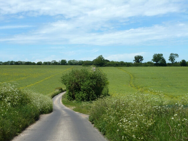
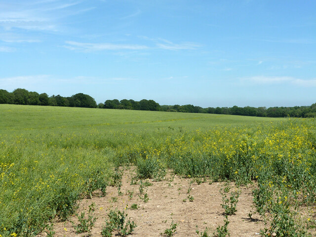
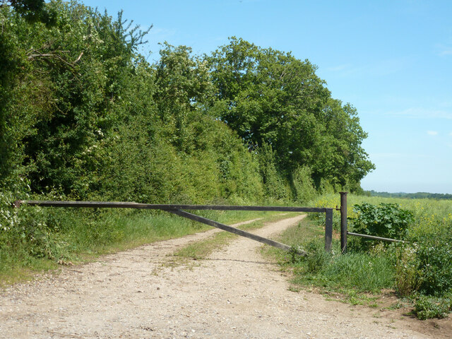
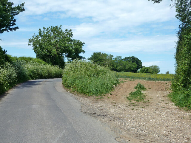
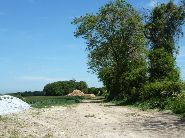
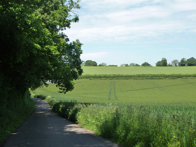
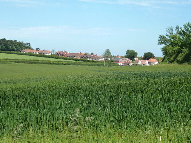
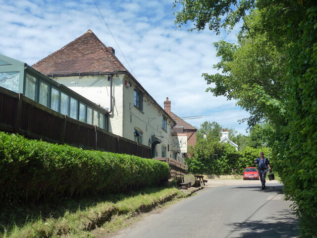
Woolage Village is a small rural settlement located in the county of Kent, in southeastern England. Situated approximately 5 miles southwest of the city of Canterbury, it falls within the civil parish of Nonington. The village is surrounded by picturesque countryside, characterized by rolling hills, lush green fields, and charming woodlands.
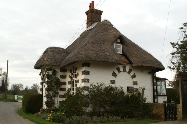
Historically, Woolage Village was known as "Woolwich" and was mentioned in the Domesday Book of 1086. The name eventually evolved to its current form over the centuries. The village retains a sense of its rich history, with several old cottages and buildings still standing, showcasing traditional architectural styles.
The village itself is modest in size, with a small population of around 200 residents. It offers a tranquil and close-knit community atmosphere, making it an attractive place for those seeking a peaceful countryside lifestyle. The surrounding natural beauty also makes it a popular destination for nature lovers, hikers, and cyclists.
While Woolage Village does not have its own amenities such as shops or schools, the nearby city of Canterbury provides all necessary facilities and services. The village benefits from good transport links, with regular bus services connecting it to Canterbury and other nearby towns.
Overall, Woolage Village offers a peaceful and idyllic countryside setting, perfect for those looking to escape the hustle and bustle of city life while still enjoying easy access to nearby urban amenities.
If you have any feedback on the listing, please let us know in the comments section below.
Woolage Village Images
Images are sourced within 2km of 51.20651/1.1992748 or Grid Reference TR2350. Thanks to Geograph Open Source API. All images are credited.


Woolage Village is located at Grid Ref: TR2350 (Lat: 51.20651, Lng: 1.1992748)
Administrative County: Kent
District: Canterbury
Police Authority: Kent
What 3 Words
///before.rant.pupils. Near Aylesham, Kent
Nearby Locations
Related Wikis

Woolage Village
Woolage Village is a former mining village situated midway between Canterbury and Dover in the English county of Kent. It is 1 mile (1.6 km) to the east...

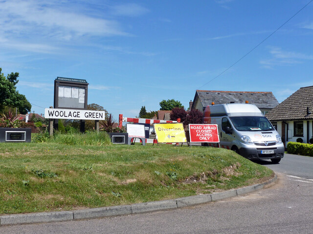
Woolage Green
Woolage Green is a small hamlet, situated about 7 miles (11 km) south-east of Canterbury, Kent, England, 1 mile to the east of the A2 road. Together with...

Womenswold
Womenswold is a village and civil parish centred 7 miles (11 km) south-east of Canterbury, Kent, England, 1 mile to the east of the A2 road. The parish...

Snowdown
Snowdown is a hamlet near Dover in Kent, England. It was the location of one of the four chief collieries of the Kent coalfield, which closed in 1987....

Snowdown railway station
Snowdown railway station is on the Dover branch of the Chatham Main Line in England, and serves the hamlet of Snowdown, Kent. It is 69 miles 60 chains...

Aylesham
Aylesham is a village and civil parish in the Dover district of Kent, England. The village is 6.5 miles (10.5 km) southeast of the cathedral city of Canterbury...
Frogham, Kent
Frogham is a hamlet in the Dover District of East Kent, England, between Canterbury and Dover. It is located between the former coal mining village of...
Black Mill, Barham
Black Mill or Barham Downs Mill was a smock mill at Barham, Kent, England which was accidentally burnt down in 1970 while under restoration. == History... ==
Nearby Amenities
Located within 500m of 51.20651,1.1992748Have you been to Woolage Village?
Leave your review of Woolage Village below (or comments, questions and feedback).