Chalk Wood
Wood, Forest in Kent Canterbury
England
Chalk Wood
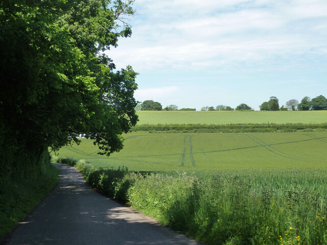
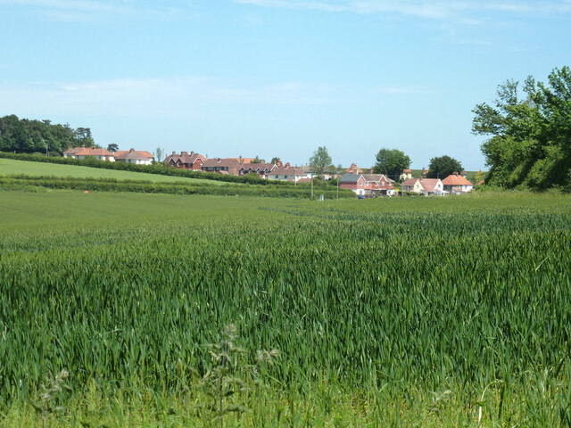
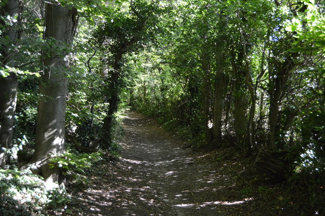
Chalk Wood is a picturesque forest located in the county of Kent, England. Covering an area of approximately 500 acres, it is nestled within the North Downs, an Area of Outstanding Natural Beauty. The forest is characterized by its rolling hills, dense woodland, and diverse wildlife, making it a popular destination for nature lovers and outdoor enthusiasts.
The woodland consists primarily of native tree species such as oak, beech, and ash, which create a rich tapestry of colors during the autumn months. The forest floor is carpeted with bluebells in the spring, adding a touch of vibrancy to the already stunning landscape.
Chalk Wood offers a network of well-maintained footpaths and trails, allowing visitors to explore its beauty on foot or by bike. The paths meander through the forest, leading to open clearings and tranquil ponds where one can pause and appreciate the surrounding nature. The sound of birdsong fills the air, with species such as woodpeckers, owls, and warblers being commonly spotted.
The forest is home to a variety of wildlife, including deer, foxes, badgers, and numerous bird species. Nature enthusiasts can also find a diverse range of plant life, including rare orchids and ferns.
Chalk Wood provides a peaceful retreat from the hustle and bustle of everyday life, offering visitors a chance to connect with nature and enjoy the serenity of this ancient woodland. Whether it's a leisurely stroll, a family picnic, or wildlife-spotting, Chalk Wood has something to offer everyone seeking solace in the beauty of the natural world.
If you have any feedback on the listing, please let us know in the comments section below.
Chalk Wood Images
Images are sourced within 2km of 51.212174/1.1970756 or Grid Reference TR2350. Thanks to Geograph Open Source API. All images are credited.


Chalk Wood is located at Grid Ref: TR2350 (Lat: 51.212174, Lng: 1.1970756)
Administrative County: Kent
District: Canterbury
Police Authority: Kent
What 3 Words
///remover.rating.pursue. Near Aylesham, Kent
Nearby Locations
Related Wikis

Womenswold
Womenswold is a village and civil parish centred 7 miles (11 km) south-east of Canterbury, Kent, England, 1 mile to the east of the A2 road. The parish...

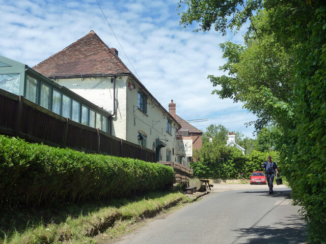
Woolage Village
Woolage Village is a former mining village situated midway between Canterbury and Dover in the English county of Kent. It is 1 mile (1.6 km) to the east...

Snowdown
Snowdown is a hamlet near Dover in Kent, England. It was the location of one of the four chief collieries of the Kent coalfield, which closed in 1987....

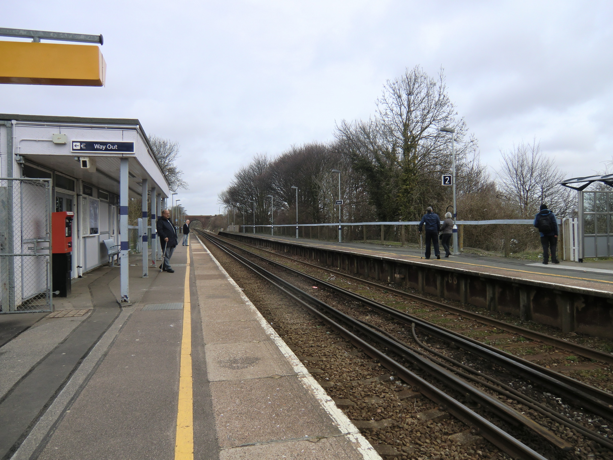
Snowdown railway station
Snowdown railway station is on the Dover branch of the Chatham Main Line in England, and serves the hamlet of Snowdown, Kent. It is 69 miles 60 chains...

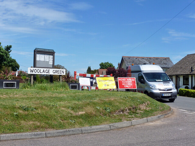
Woolage Green
Woolage Green is a small hamlet, situated about 7 miles (11 km) south-east of Canterbury, Kent, England, 1 mile to the east of the A2 road. Together with...

Aylesham
Aylesham is a village and civil parish in the Dover district of Kent, England. The village is 6.5 miles (10.5 km) southeast of the cathedral city of Canterbury...
Aylesham railway station
Aylesham railway station is on the Dover branch of the Chatham Main Line in England, and serves the village of Aylesham, Kent. It is 68 miles 66 chains...
Black Mill, Barham
Black Mill or Barham Downs Mill was a smock mill at Barham, Kent, England which was accidentally burnt down in 1970 while under restoration. == History... ==
Nearby Amenities
Located within 500m of 51.212174,1.1970756Have you been to Chalk Wood?
Leave your review of Chalk Wood below (or comments, questions and feedback).