Alder Carr
Wood, Forest in Norfolk Broadland
England
Alder Carr
Alder Carr, Norfolk, also known as the Alder Wood or Forest, is a natural habitat located in the county of Norfolk, England. It is a designated Site of Special Scientific Interest (SSSI) due to its unique ecological characteristics and rich biodiversity.
The Carr is situated alongside the River Wensum, creating a diverse wetland environment. It spans approximately 100 hectares and is primarily comprised of alder trees, which lend their name to the area. These trees thrive in the wet and marshy conditions, creating a dense and lush woodland.
The Alder Carr is renowned for its diverse range of flora and fauna. The wetland habitat attracts a variety of bird species, including kingfishers, herons, and ducks, making it a popular spot for birdwatchers. The area also supports a number of mammal species, such as otters, water voles, and bats.
The forest floor is home to an array of wildflowers, mosses, and ferns, adding to the area's natural beauty. The wet conditions provide an ideal environment for various aquatic plants, including water lilies and reeds.
Visitors to Alder Carr can explore the area via a network of footpaths and boardwalks, which allow for easy access and protect the delicate ecosystem. The site is managed by conservation organizations, ensuring the preservation of its natural features.
Alder Carr, Norfolk, offers a tranquil and picturesque setting for nature enthusiasts, providing a glimpse into the diverse flora and fauna that thrive in this wetland environment.
If you have any feedback on the listing, please let us know in the comments section below.
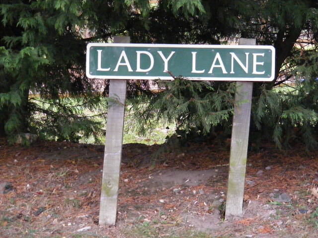
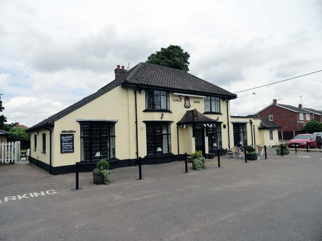
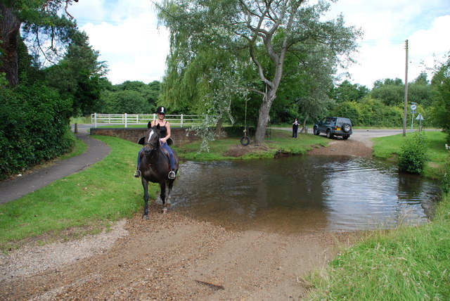
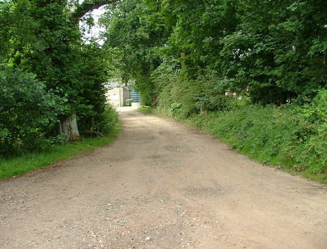
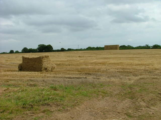
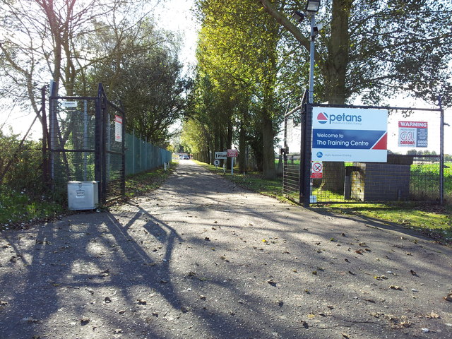
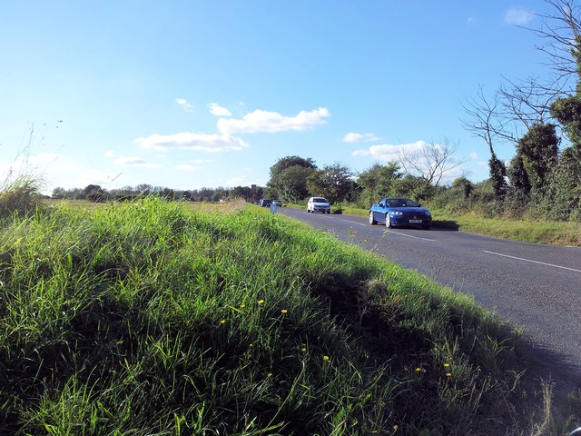
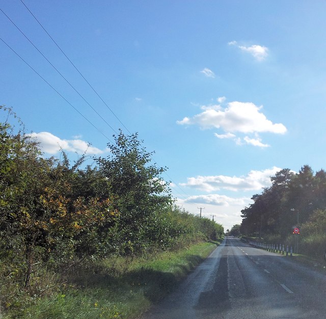
Alder Carr Images
Images are sourced within 2km of 52.69815/1.3041646 or Grid Reference TG2316. Thanks to Geograph Open Source API. All images are credited.

Alder Carr is located at Grid Ref: TG2316 (Lat: 52.69815, Lng: 1.3041646)
Administrative County: Norfolk
District: Broadland
Police Authority: Norfolk
What 3 Words
///take.mops.chips. Near Spixworth, Norfolk
Nearby Locations
Related Wikis

Frettenham
Frettenham is a village and civil parish in the English county of Norfolk. It is located 3.2 miles (5.1 km) west of Wroxham, and 5.7 miles (9.2 km) north...

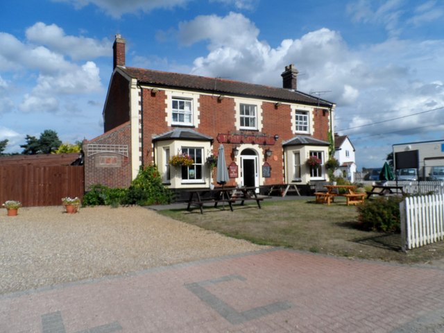
Spixworth
Spixworth is a village and civil parish in the English county of Norfolk. The village lies close to the B1150 road and is 5 miles (8.0 km) north of Norwich...

Hillside Animal Sanctuary
Hillside Animal Sanctuary, based in Frettenham, Norwich, and with a site at West Runton, North Norfolk, is the United Kingdom's largest home for different...

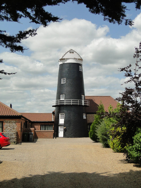
Frettenham Windmill
Frettenham Mill is a Grade II listed tower mill at Frettenham, Norfolk, England which has been converted to residential accommodation. == History == Frettenham...

Horsham St Faith and Newton St Faith
Horsham St Faith and Newton St Faith is a civil parish in the English county of Norfolk, consisting of the former parishes of Horsham St Faith and Newton...
Horsham St Faith
Horsham St Faith is a village in Norfolk, England. The village lies close and to the east of the A140 road and is 5 miles (8.0 km) north of Norwich and...

Crostwick
Crostwick is a village in the English county of Norfolk. The village is part of the civil parish of Horstead with Stanninghall. Crostwick is located 2...

Hainford
Hainford (originally Haynford) is a village and civil parish in the English county of Norfolk. It covers an area of 6.94 km2 (2.68 sq mi) and had a population...
Nearby Amenities
Located within 500m of 52.69815,1.3041646Have you been to Alder Carr?
Leave your review of Alder Carr below (or comments, questions and feedback).