Dovehouse Plantation
Wood, Forest in Norfolk South Norfolk
England
Dovehouse Plantation
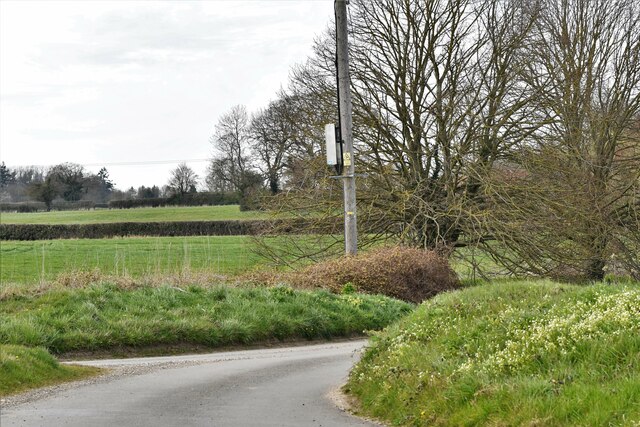
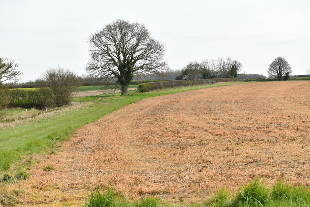
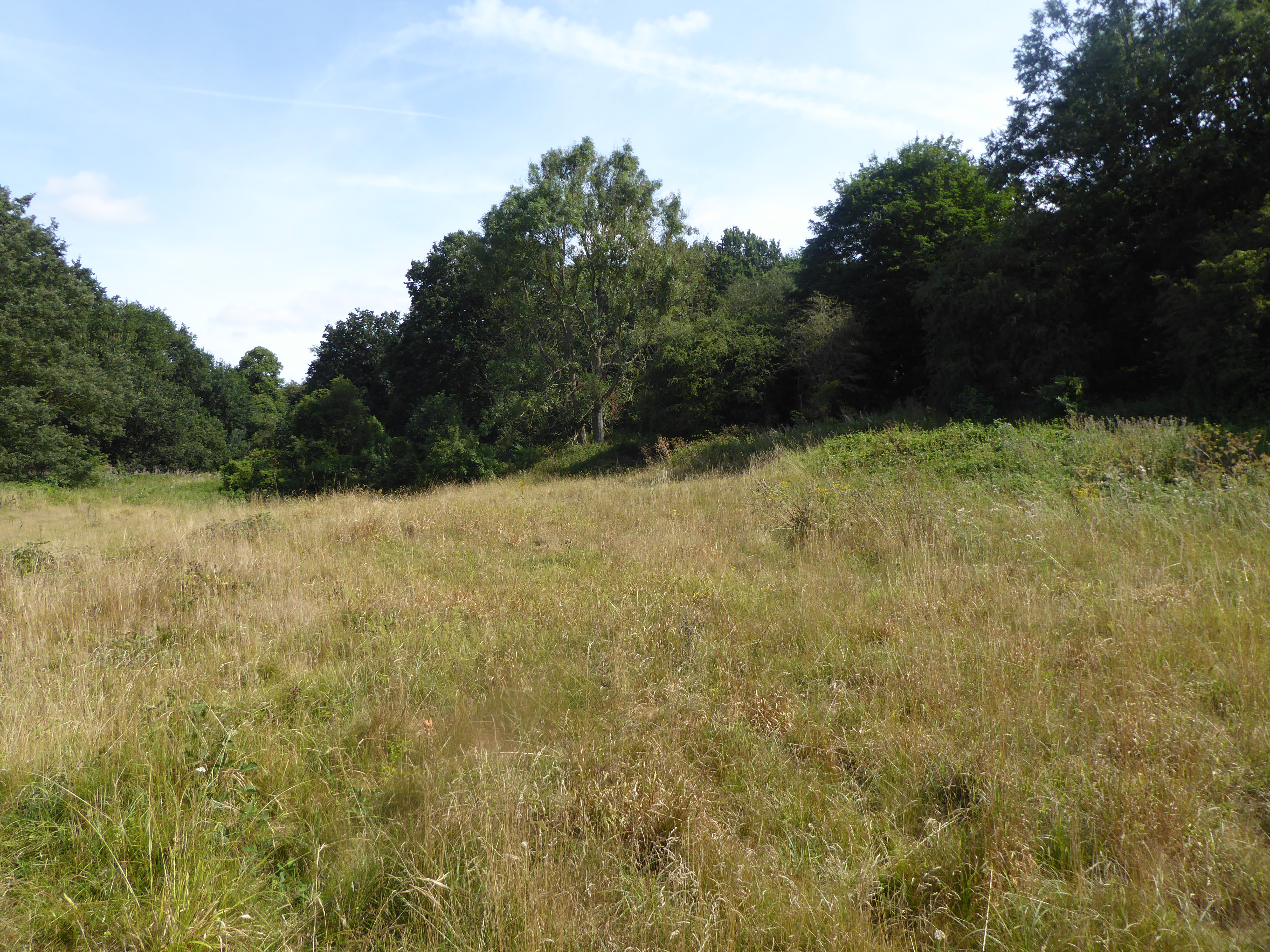
Dovehouse Plantation is a historic woodland located in Norfolk, England. Spread across a vast area, it is known for its diverse range of trees and wildlife. The plantation is primarily composed of dense woodlands and forests, making it a popular spot for nature enthusiasts and hikers.
The plantation is home to a variety of tree species, including oak, beech, pine, and maple. These trees create a dense canopy that provides shelter to numerous bird species, such as woodpeckers, owls, and warblers. The undergrowth is rich in flora, with wildflowers, ferns, and mosses dotting the forest floor.
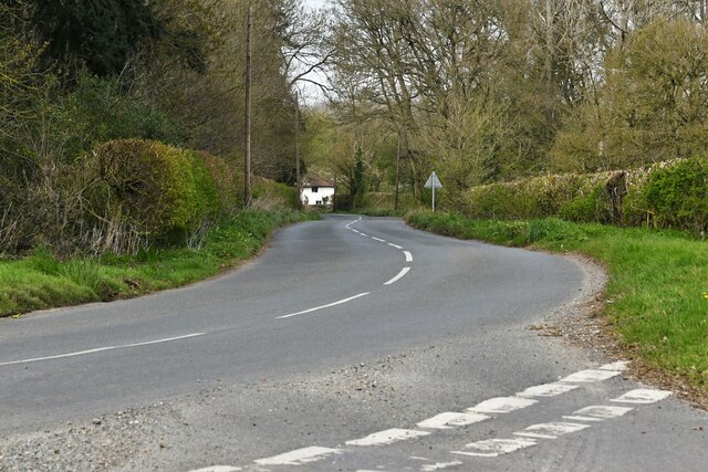
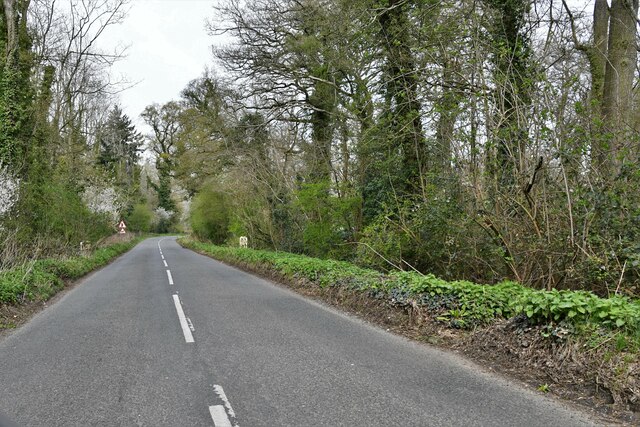
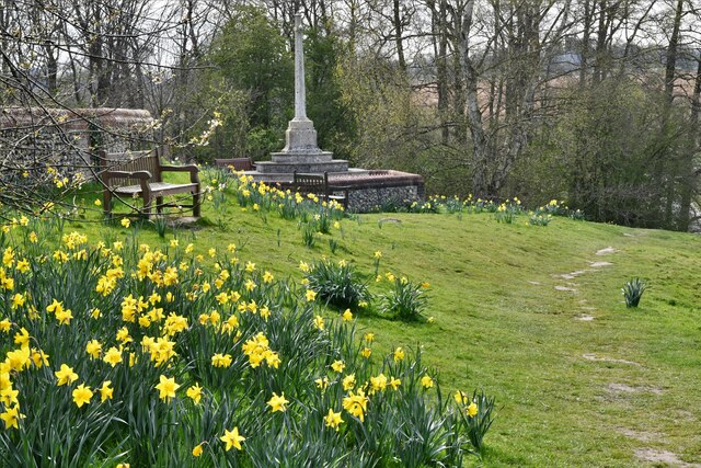
Dovehouse Plantation offers a tranquil and serene atmosphere, with its winding pathways and peaceful streams. It is a perfect destination for those seeking solitude and a connection with nature. The plantation is also a designated nature reserve, ensuring the preservation and protection of its unique ecosystem.
Visitors can explore the plantation through a network of well-maintained trails, allowing them to witness the beauty of the woodland up close. The plantation management organizes guided tours, providing educational insights into the flora and fauna found within the area.
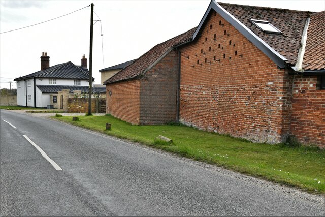
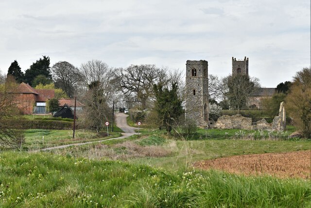
In addition to its natural beauty, Dovehouse Plantation also has a rich historical background. The plantation dates back several centuries and has been a site of human activity since ancient times. It was once a hunting ground for royalty and later became a working estate.
Overall, Dovehouse Plantation is a haven for nature lovers, offering a blend of scenic beauty, diverse wildlife, and historical significance.
If you have any feedback on the listing, please let us know in the comments section below.
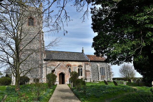
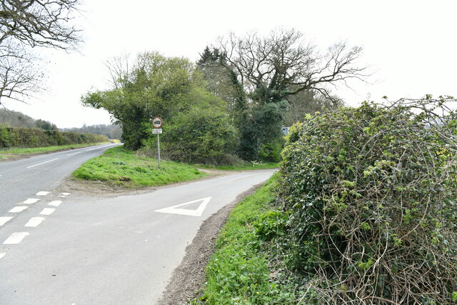
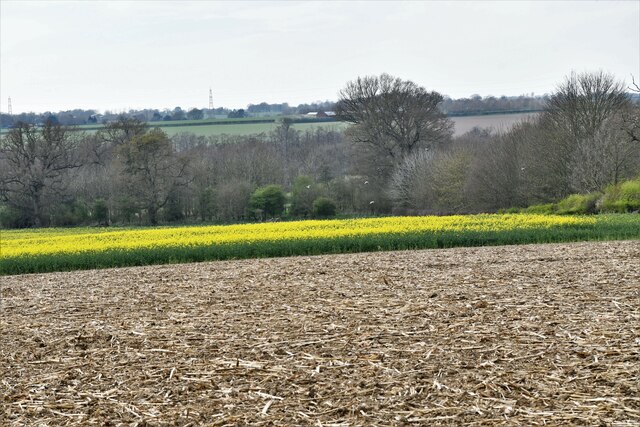
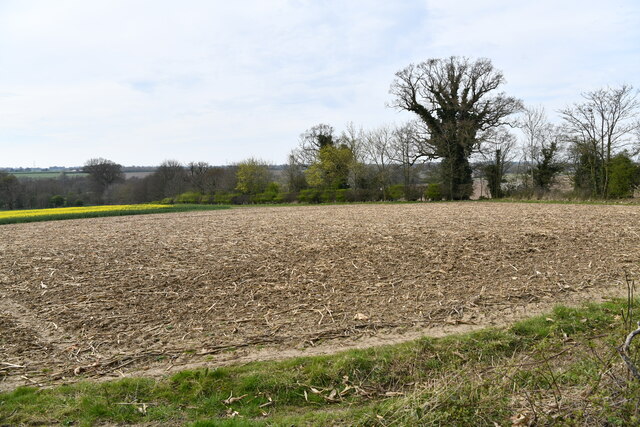
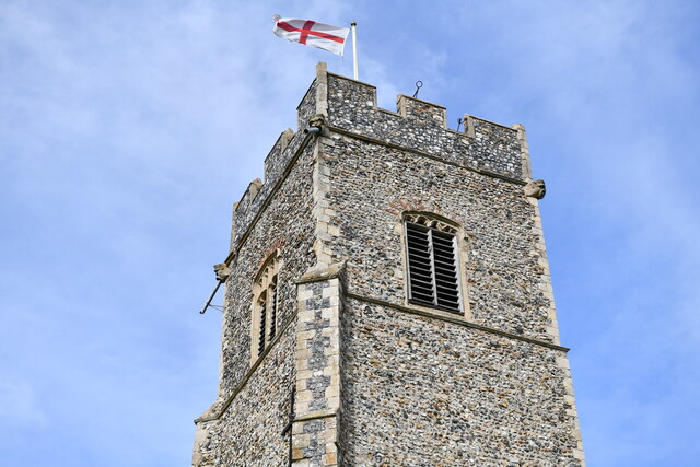
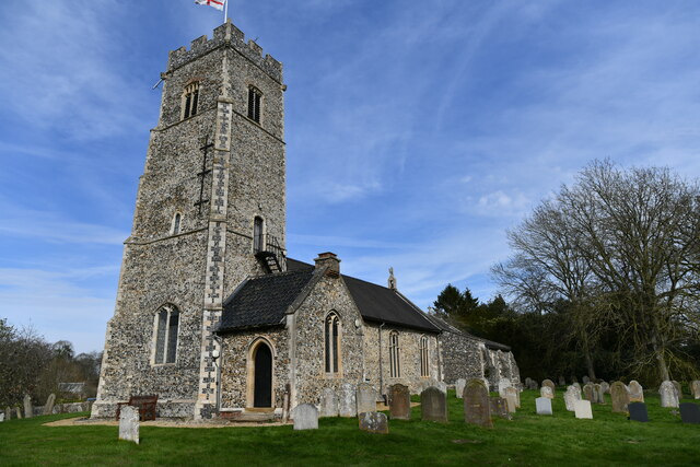
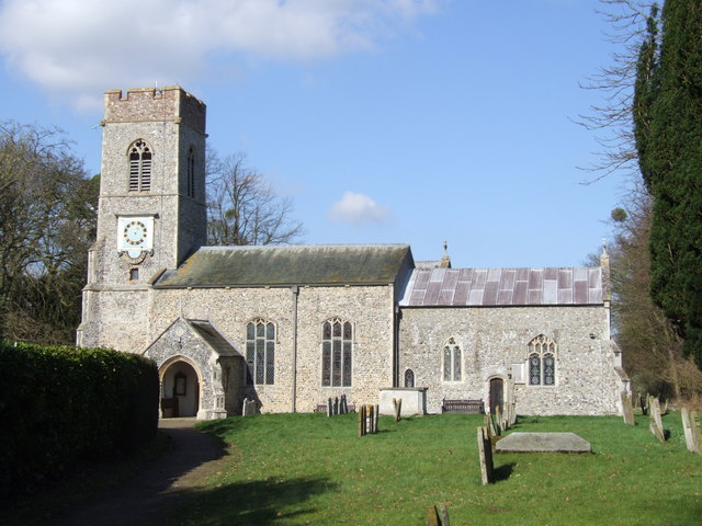
Dovehouse Plantation Images
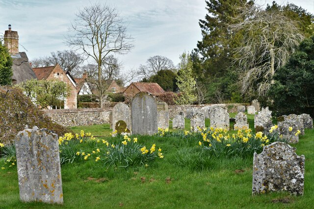
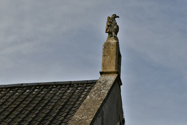
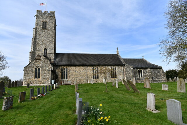
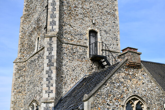
Images are sourced within 2km of 52.543831/1.2956512 or Grid Reference TM2399. Thanks to Geograph Open Source API. All images are credited.
Dovehouse Plantation is located at Grid Ref: TM2399 (Lat: 52.543831, Lng: 1.2956512)
Administrative County: Norfolk
District: South Norfolk
Police Authority: Norfolk
What 3 Words
///education.public.frames. Near Poringland, Norfolk
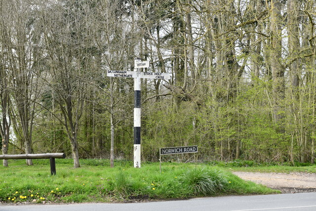
Nearby Locations
Related Wikis

Shotesham Common
Shotesham Common is a 21.6-hectare (53-acre) biological Site of Special Scientific Interest south of Norwich in Norfolk.This site consists of traditionally...

Shotesham
Shotesham () is a village in South Norfolk which lies approximately 5 miles south of Norwich. It sits next to Stoke Holy Cross and Saxlingham Nethergate...
Saxlingham Nethergate
Saxlingham Nethergate is a village and civil parish in Norfolk, England, about 9.5 miles (15 km) south of Norwich. The civil parish has an area of 3.3...
Smockmill Common
Smockmill Common is a 10-hectare (25-acre) Local Nature Reserve on the eastern outskirts of Newton Flotman in Norfolk. It is owned by the Shotesham Estate...

Swainsthorpe
Swainsthorpe is a village in Norfolk, England. It lies on the A140 road, approximately 5 miles south of Norwich, and just north of Newton Flotman. It covers...
Swainsthorpe railway station
Swainsthorpe was a railway station in Swainsthorpe, England, around five miles south of Norwich. It was opened in 1850 when the Great Eastern Railway constructed...

Stoke Holy Cross
Stoke Holy Cross is a village in South Norfolk which lies approximately 4 miles (6.4 km) south of Norwich. == Geography == Stoke sits on the River Tas...

Newton Flotman
Newton Flotman, meaning new farm or settlement, is a village and civil parish in the English county of Norfolk, lies about 7 miles (11 km) south of Norwich...
Nearby Amenities
Located within 500m of 52.543831,1.2956512Have you been to Dovehouse Plantation?
Leave your review of Dovehouse Plantation below (or comments, questions and feedback).