Hawe's Green
Settlement in Norfolk South Norfolk
England
Hawe's Green
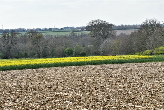
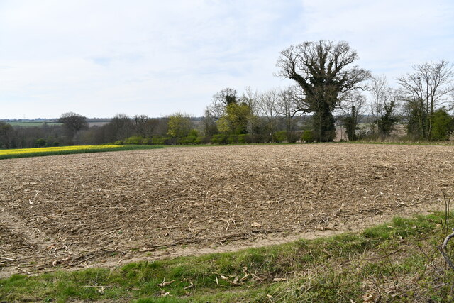
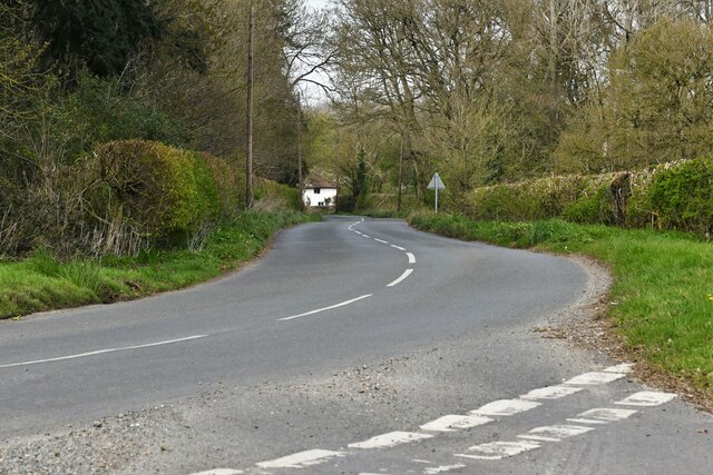
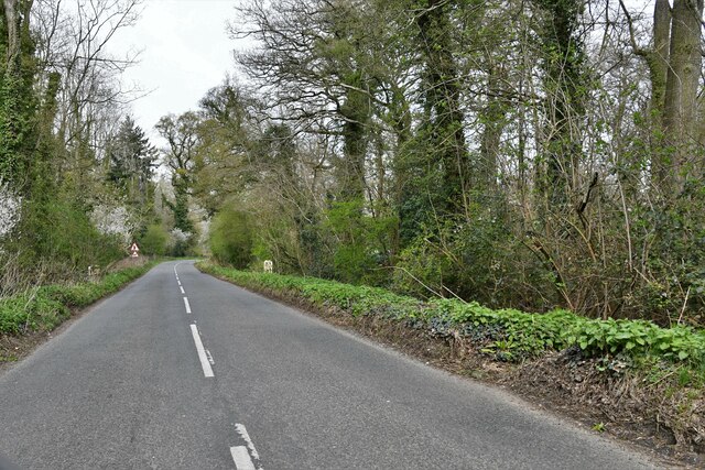
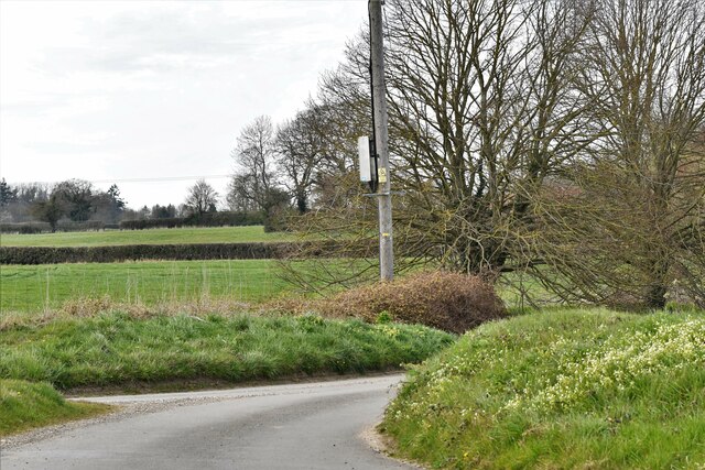
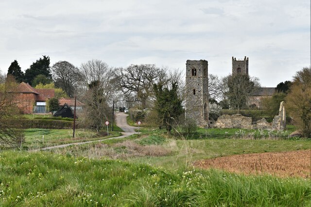
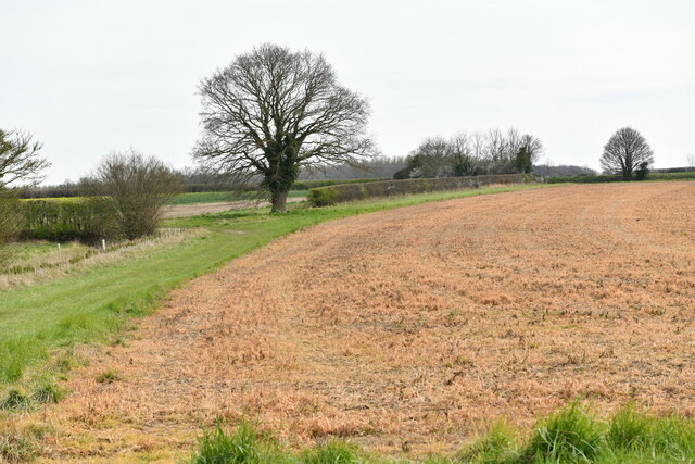
Hawe's Green is a small village located in the county of Norfolk, England. Situated in the South Norfolk district, it lies approximately 10 miles south of the city of Norwich. The village is set amidst picturesque countryside, with beautiful rolling hills and lush green fields surrounding it.
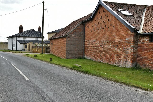
Hawe's Green is a quiet and peaceful village, known for its idyllic rural charm. The village is characterized by a mix of traditional and modern architecture, with quaint cottages and farmhouses blending seamlessly with contemporary houses. The local community is tight-knit and friendly, with a strong sense of community spirit.
The village is well-served by amenities, including a local pub, a village hall, and a primary school. The pub, a popular gathering spot for locals and visitors alike, offers a cozy atmosphere and serves delicious traditional pub fare.
For outdoor enthusiasts, Hawe's Green offers plenty of opportunities for exploring and enjoying nature. The surrounding countryside provides ample walking and cycling routes, allowing residents and visitors to take in the stunning scenery. The village is also in close proximity to several nature reserves and parks, providing additional options for outdoor activities.
Hawe's Green is conveniently located near major transportation links, making it easily accessible for both residents and tourists. The nearby city of Norwich offers a wide range of amenities, including shopping centers, restaurants, and cultural attractions, making it an ideal destination for day trips.
Overall, Hawe's Green is a charming and peaceful village, offering a high quality of life in a beautiful rural setting.
If you have any feedback on the listing, please let us know in the comments section below.
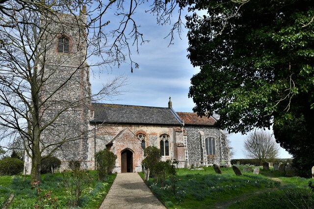
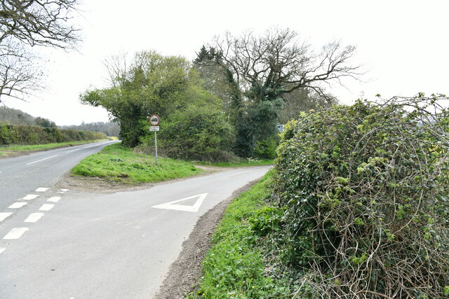
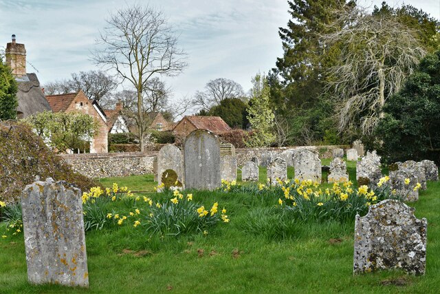
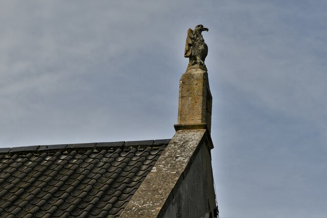
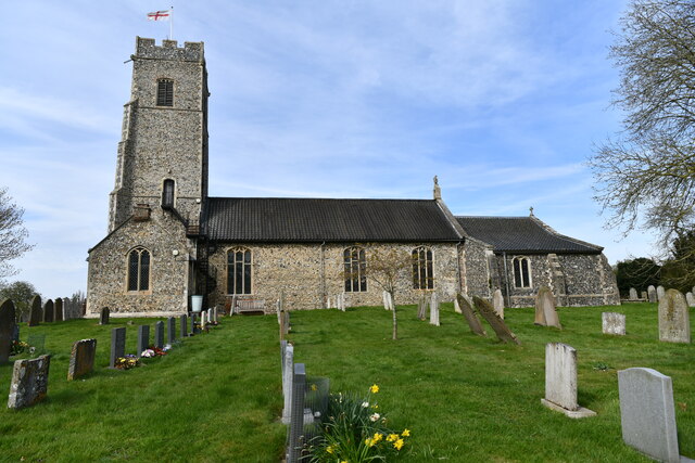
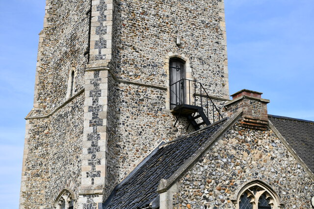
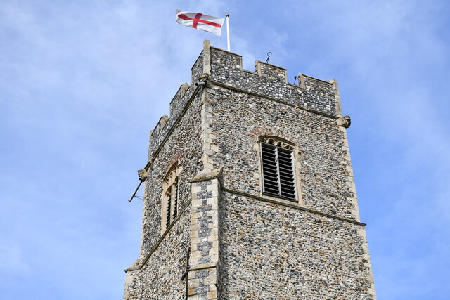
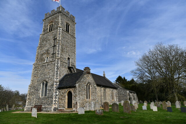
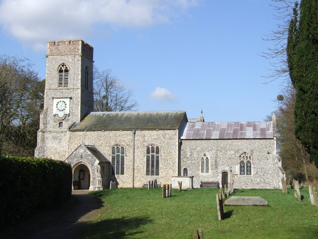
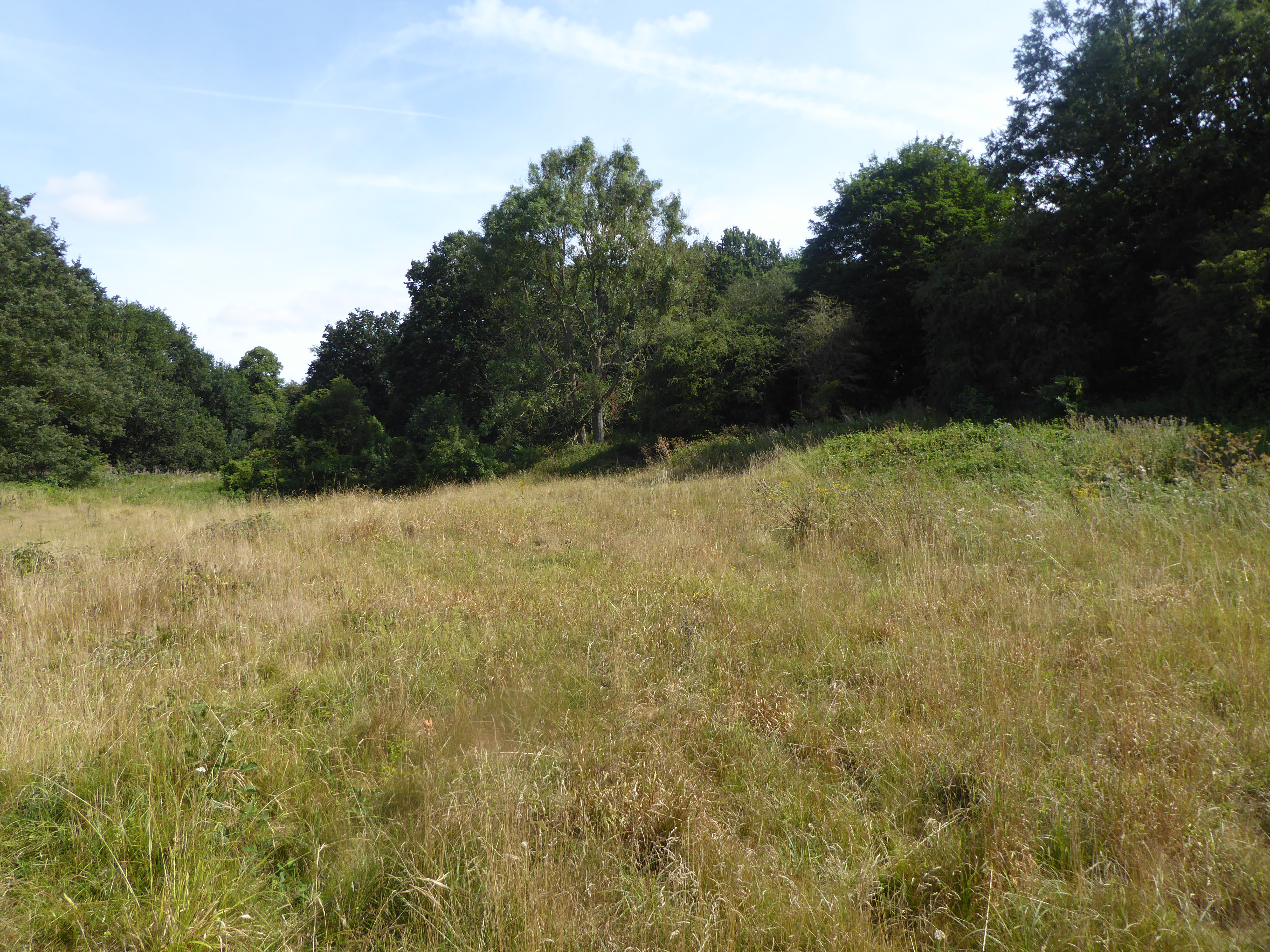
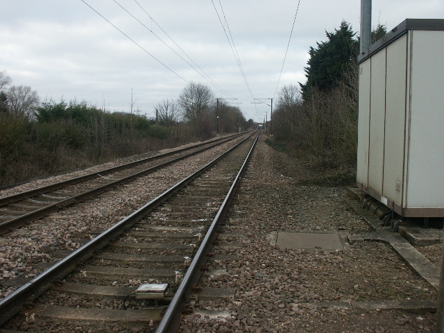
Hawe's Green Images
Images are sourced within 2km of 52.545037/1.299222 or Grid Reference TM2399. Thanks to Geograph Open Source API. All images are credited.
Hawe's Green is located at Grid Ref: TM2399 (Lat: 52.545037, Lng: 1.299222)
Administrative County: Norfolk
District: South Norfolk
Police Authority: Norfolk
What 3 Words
///compose.survivor.sketching. Near Poringland, Norfolk
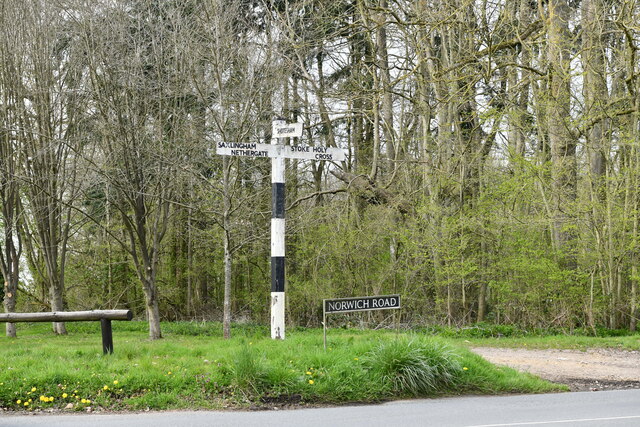
Nearby Locations
Related Wikis

Shotesham Common
Shotesham Common is a 21.6-hectare (53-acre) biological Site of Special Scientific Interest south of Norwich in Norfolk.This site consists of traditionally...

Shotesham
Shotesham () is a village in South Norfolk which lies approximately 5 miles south of Norwich. It sits next to Stoke Holy Cross and Saxlingham Nethergate...
Saxlingham Nethergate
Saxlingham Nethergate is a village and civil parish in Norfolk, England, about 9.5 miles (15 km) south of Norwich. The civil parish has an area of 3.3...
Smockmill Common
Smockmill Common is a 10-hectare (25-acre) Local Nature Reserve on the eastern outskirts of Newton Flotman in Norfolk. It is owned by the Shotesham Estate...

Swainsthorpe
Swainsthorpe is a village in Norfolk, England. It lies on the A140 road, approximately 5 miles south of Norwich, and just north of Newton Flotman. It covers...

Stoke Holy Cross
Stoke Holy Cross is a village in South Norfolk which lies approximately 4 miles (6.4 km) south of Norwich. == Geography == Stoke sits on the River Tas...
Swainsthorpe railway station
Swainsthorpe was a railway station in Swainsthorpe, England, around five miles south of Norwich. It was opened in 1850 when the Great Eastern Railway constructed...

Newton Flotman
Newton Flotman, meaning new farm or settlement, is a village and civil parish in the English county of Norfolk, lies about 7 miles (11 km) south of Norwich...
Nearby Amenities
Located within 500m of 52.545037,1.299222Have you been to Hawe's Green?
Leave your review of Hawe's Green below (or comments, questions and feedback).