Knight's Lawn
Wood, Forest in Norfolk South Norfolk
England
Knight's Lawn
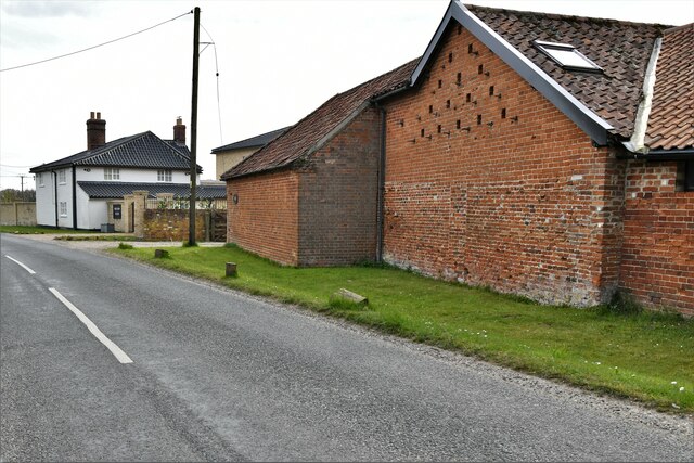
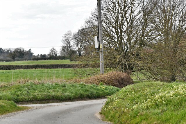
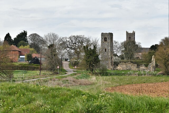
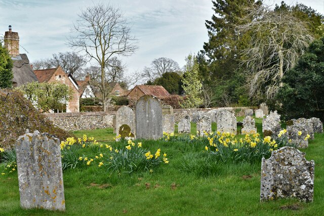
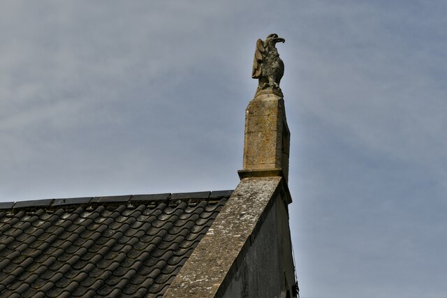
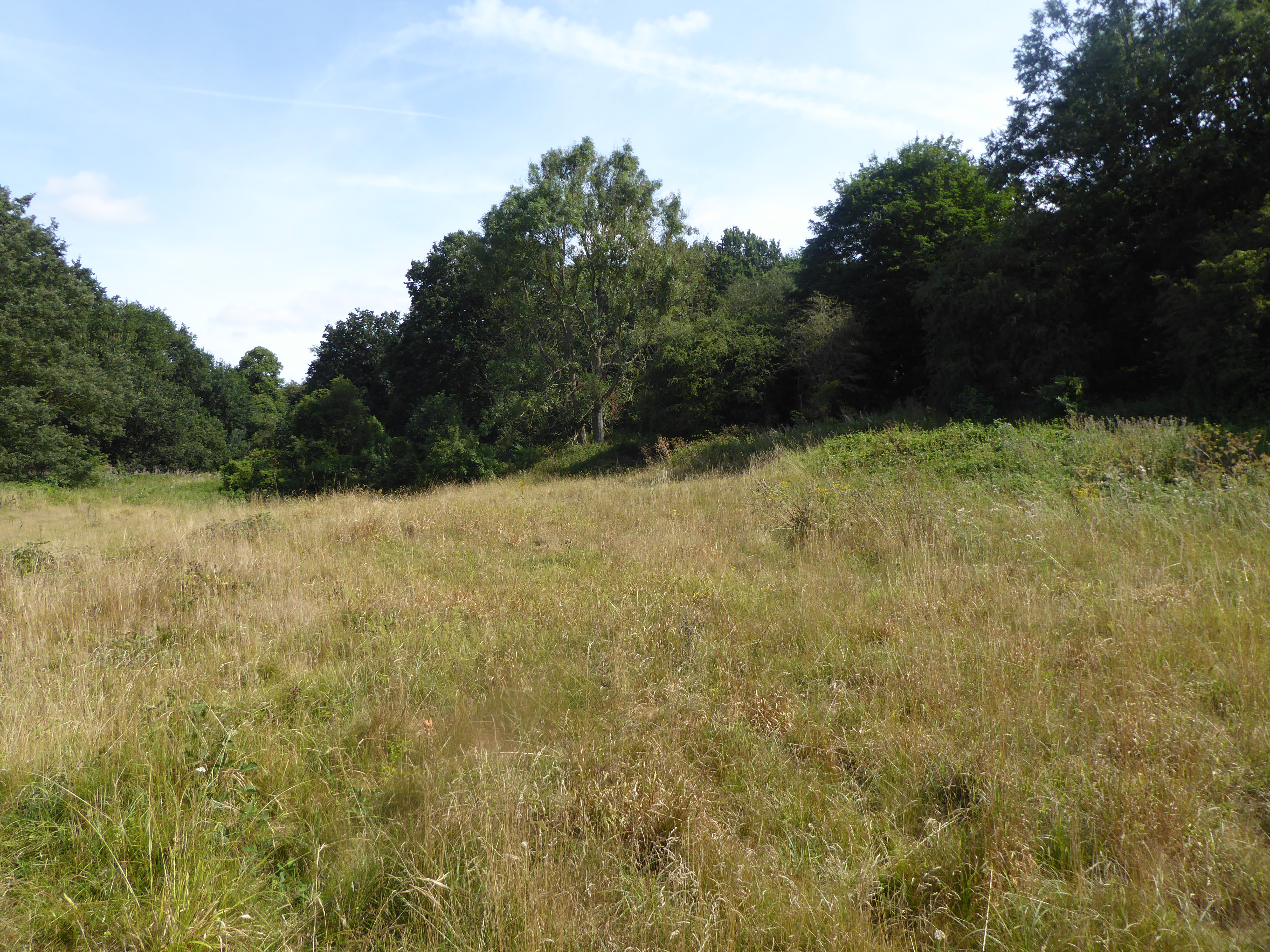
Knight's Lawn is a picturesque woodland area located in Norfolk, England. Covering an expansive area of lush greenery, it is a popular destination for nature enthusiasts and those seeking respite from the bustling city life. The forest is situated within close proximity to the village of Norfolk, making it easily accessible to both locals and tourists.
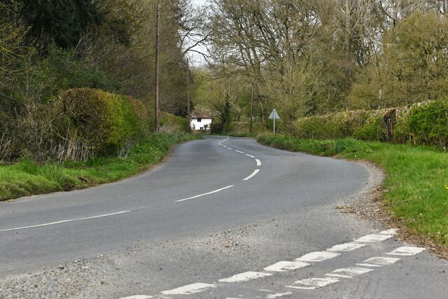
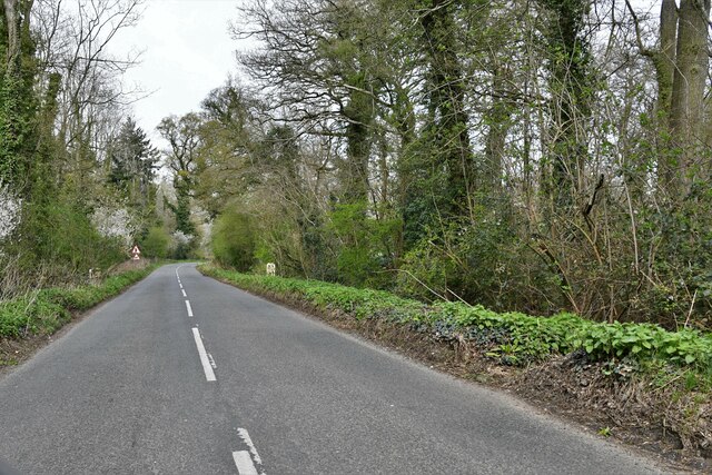
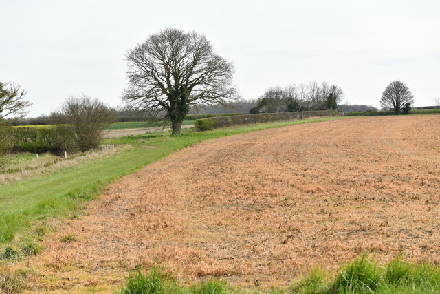
The wood is characterized by its dense canopy of various tree species, including oak, beech, and pine. The towering trees create a serene and tranquil atmosphere, providing a perfect setting for leisurely walks and outdoor activities. The forest floor is adorned with a carpet of vibrant wildflowers, adding to its natural beauty.
Knight's Lawn is home to a diverse range of wildlife, with numerous species of birds, mammals, and insects inhabiting the area. Birdwatchers can spot a variety of feathered creatures, such as woodpeckers, owls, and songbirds. Squirrels and rabbits are commonly seen darting through the undergrowth, while lucky visitors may even catch a glimpse of deer or foxes.
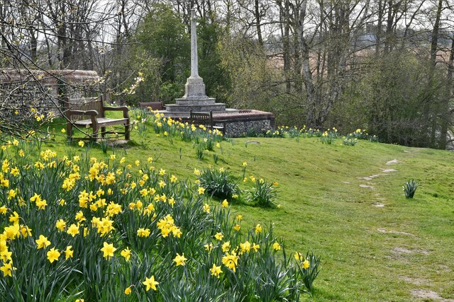
The woodland offers a network of well-maintained trails that wind through its enchanting terrain. These paths cater to both casual strollers and avid hikers, allowing visitors to explore the wood at their own pace. In addition, there are designated picnic areas and benches dotted throughout the forest, providing ideal spots for relaxation and enjoying the surroundings.
Knight's Lawn is not only a haven for nature lovers but also serves as an important ecological site. Efforts are made to preserve and protect the wood, ensuring its longevity for future generations to enjoy. With its natural splendor and abundance of wildlife, Knight's Lawn is a must-visit destination for those seeking a peaceful retreat in the heart of Norfolk.
If you have any feedback on the listing, please let us know in the comments section below.
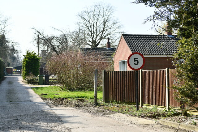
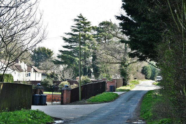
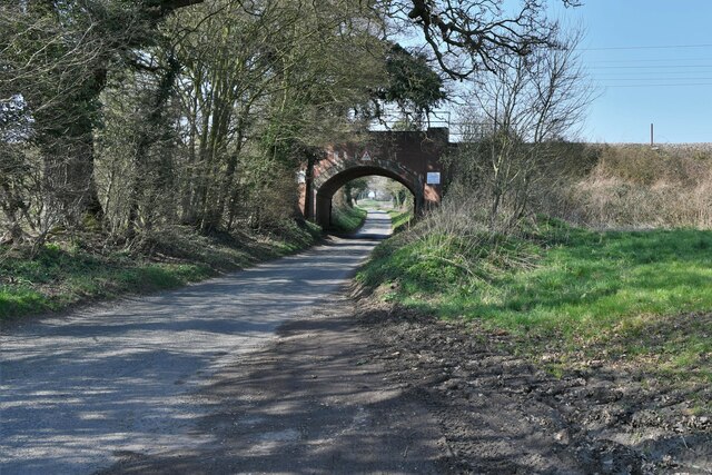
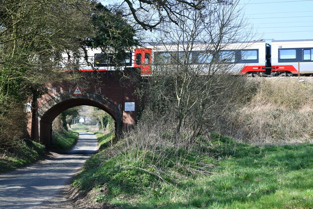
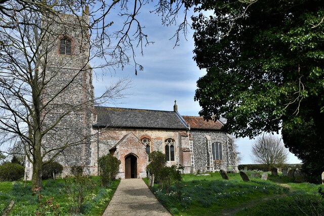
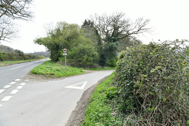
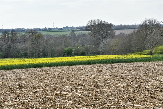
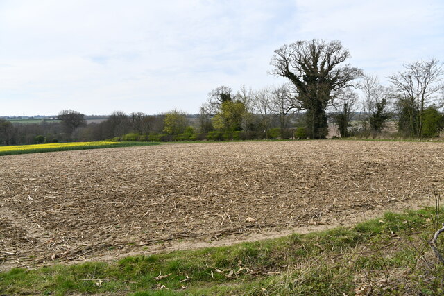
Knight's Lawn Images
Images are sourced within 2km of 52.547797/1.2875688 or Grid Reference TM2399. Thanks to Geograph Open Source API. All images are credited.
Knight's Lawn is located at Grid Ref: TM2399 (Lat: 52.547797, Lng: 1.2875688)
Administrative County: Norfolk
District: South Norfolk
Police Authority: Norfolk
What 3 Words
///scoots.poses.solar. Near Mulbarton, Norfolk
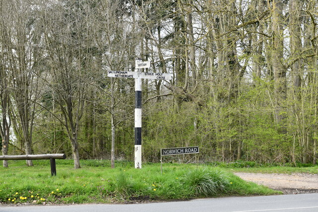
Nearby Locations
Related Wikis

Shotesham Common
Shotesham Common is a 21.6-hectare (53-acre) biological Site of Special Scientific Interest south of Norwich in Norfolk.This site consists of traditionally...

Swainsthorpe
Swainsthorpe is a village in Norfolk, England. It lies on the A140 road, approximately 5 miles south of Norwich, and just north of Newton Flotman. It covers...
Smockmill Common
Smockmill Common is a 10-hectare (25-acre) Local Nature Reserve on the eastern outskirts of Newton Flotman in Norfolk. It is owned by the Shotesham Estate...
Swainsthorpe railway station
Swainsthorpe was a railway station in Swainsthorpe, England, around five miles south of Norwich. It was opened in 1850 when the Great Eastern Railway constructed...
Saxlingham Nethergate
Saxlingham Nethergate is a village and civil parish in Norfolk, England, about 9.5 miles (15 km) south of Norwich. The civil parish has an area of 3.3...

Shotesham
Shotesham () is a village in South Norfolk which lies approximately 5 miles south of Norwich. It sits next to Stoke Holy Cross and Saxlingham Nethergate...

Stoke Holy Cross
Stoke Holy Cross is a village in South Norfolk which lies approximately 4 miles (6.4 km) south of Norwich. == Geography == Stoke sits on the River Tas...

Newton Flotman
Newton Flotman, meaning new farm or settlement, is a village and civil parish in the English county of Norfolk, lies about 7 miles (11 km) south of Norwich...
Nearby Amenities
Located within 500m of 52.547797,1.2875688Have you been to Knight's Lawn?
Leave your review of Knight's Lawn below (or comments, questions and feedback).