Nursery Plantation
Wood, Forest in Norfolk North Norfolk
England
Nursery Plantation

Nursery Plantation, Norfolk, also known as Wood or Forest, is a picturesque woodland area located in the county of Norfolk, England. Spanning approximately 1,000 acres, this plantation serves as a vital habitat for a diverse range of flora and fauna.
The woodland is predominantly made up of native tree species, including oak, beech, birch, and pine, which create a dense and lush canopy. These trees provide a haven for various bird species, such as woodpeckers, owls, and songbirds, making it a popular spot for birdwatchers and nature enthusiasts.
Nursery Plantation offers a tranquil escape from the bustling city life, with its winding trails and well-maintained footpaths inviting visitors to explore its natural beauty. The plantation is also home to several small ponds, adding to the charm of the landscape and attracting a variety of aquatic wildlife.
In addition to its natural wonders, Nursery Plantation also plays a vital role in sustainable forestry practices. Managed by local authorities, the plantation follows a careful harvesting and replanting regime to ensure the long-term health and viability of the woodland.
The plantation is open to the public throughout the year, allowing visitors to enjoy leisurely walks, picnic areas, and designated areas for wildlife spotting. It is a popular destination for families, nature lovers, and photographers, who are drawn to its tranquil atmosphere and stunning scenery.
Overall, Nursery Plantation, Norfolk, is a beautiful woodland area that offers a perfect blend of natural beauty, recreational activities, and environmental conservation. Its rich biodiversity and well-maintained trails make it a must-visit destination for anyone seeking solace in nature.
If you have any feedback on the listing, please let us know in the comments section below.
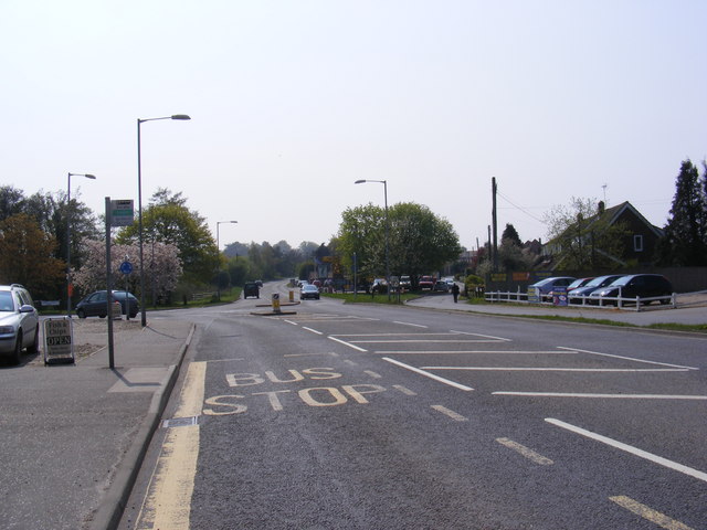
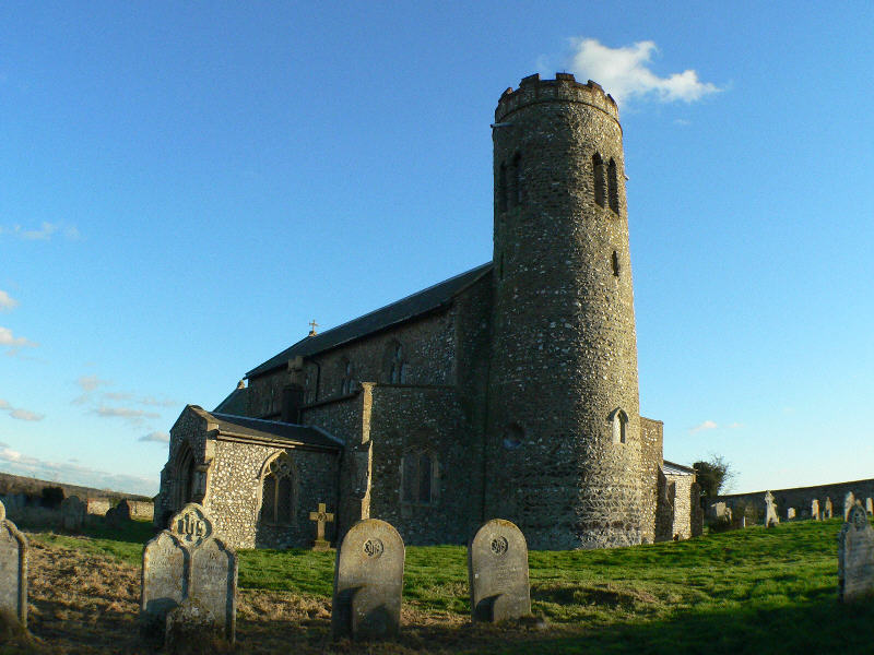
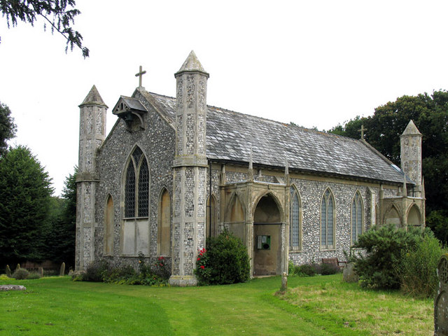
Nursery Plantation Images
Images are sourced within 2km of 52.88917/1.3132432 or Grid Reference TG2237. Thanks to Geograph Open Source API. All images are credited.


Nursery Plantation is located at Grid Ref: TG2237 (Lat: 52.88917, Lng: 1.3132432)
Administrative County: Norfolk
District: North Norfolk
Police Authority: Norfolk
What 3 Words
///invite.smarting.birthing. Near Overstrand, Norfolk
Nearby Locations
Related Wikis
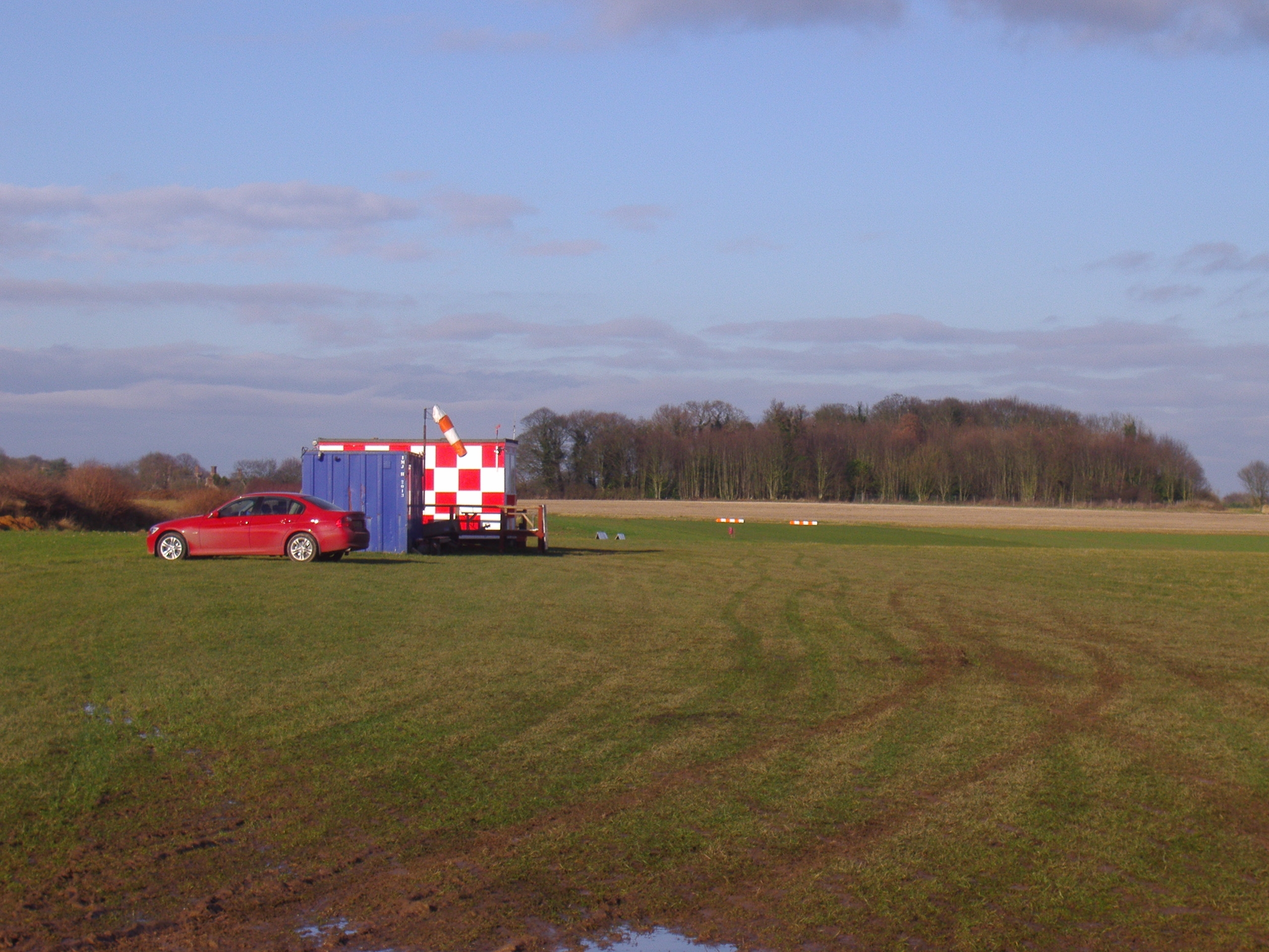
Northrepps Aerodrome
Northrepps Aerodrome is a privately owned airfield south west of the village of Northrepps, North Norfolk, England approximately 3 mi (4.8 km) south-south...
Roughton, Norfolk
Roughton is a village and a civil parish in the English county of Norfolk. The village is 3.7 miles (6.0 km) south of Cromer, 19.6 miles (31.5 km) north...
Thorpe Market
Thorpe Market is a village in the English county of Norfolk. The village is 4.4 miles south of Cromer, and 20.5 miles north of Norwich. The nearest railway...

Northrepps
Northrepps is a village and a civil parish in the English county of Norfolk. It is 3.4 miles (5.5 km) southeast of Cromer, 22.2 miles (35.7 km) north of...

Frogshall
Frogshall is a small hamlet within the civil parish of Northrepps in the English county of Norfolk. The hamlet is 5.2 miles (8.4 km) southeast of Cromer...

Hagon Beck
Hagon Beck is a minor watercourse which rises in the north of the English county of Norfolk. It falls into Great Lake in Gunton Park, which in turn feeds...

Metton, Norfolk
Metton is a small village and former civil parish, now in the parish of Sustead, in the North Norfolk district, in the county of Norfolk, England. The...
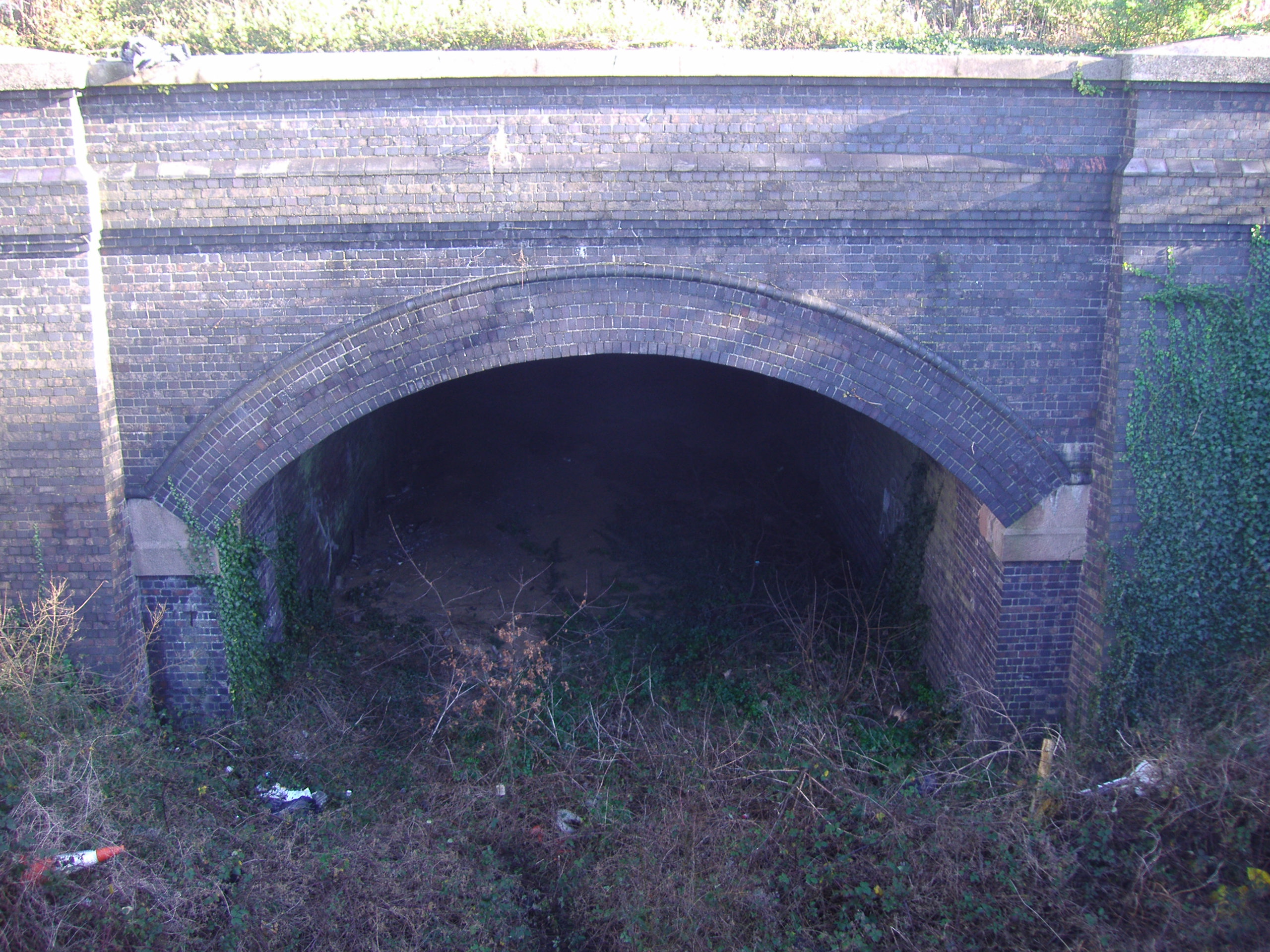
Cromer Tunnel
The Cromer Tunnel was built by the Norfolk and Suffolk Joint Railway to take their Cromer Beach to Mundesley line under the Great Eastern's Cromer High...
Nearby Amenities
Located within 500m of 52.88917,1.3132432Have you been to Nursery Plantation?
Leave your review of Nursery Plantation below (or comments, questions and feedback).