Roughton Heath
Downs, Moorland in Norfolk North Norfolk
England
Roughton Heath
Roughton Heath is a captivating area of natural beauty located in Norfolk, England. Situated near the village of Roughton, it encompasses a diverse landscape consisting of downs and moorland. Covering a vast area, Roughton Heath offers a tranquil escape from the bustling urban life, providing visitors with an idyllic setting to explore and unwind.
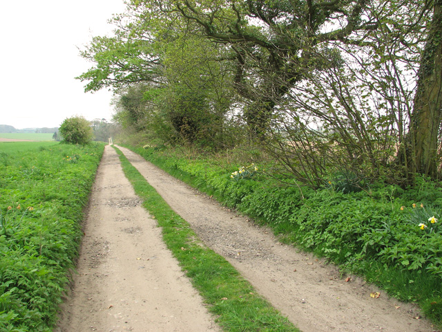
The downs of Roughton Heath are characterized by their rolling hills and lush greenery, dotted with vibrant wildflowers during the warmer months. This picturesque scenery is perfect for leisurely walks and picnics, allowing visitors to immerse themselves in the serenity of the countryside. The heath also boasts several well-maintained footpaths, ensuring easy access for hikers and nature enthusiasts to explore the area.
As visitors venture deeper into Roughton Heath, they will discover its stunning moorland. This unique habitat is home to a variety of flora and fauna, including heather, gorse, and bilberry. Rare bird species, such as the Dartford warbler and stonechat, can also be spotted within the moorland, making it a haven for birdwatchers.
Moreover, Roughton Heath offers a remarkable opportunity to witness the changing seasons. In spring, the heath is awash with colorful blooms, while autumn brings a stunning display of golden hues as the foliage transitions. Additionally, the heath is open year-round, providing visitors with the chance to experience its beauty in every season.
Overall, Roughton Heath in Norfolk is a natural gem, offering a medley of downs and moorland. Its enchanting landscape, abundant wildlife, and peaceful ambiance make it an ideal destination for nature lovers and those seeking a tranquil retreat.
If you have any feedback on the listing, please let us know in the comments section below.
Roughton Heath Images
Images are sourced within 2km of 52.89249/1.3048272 or Grid Reference TG2237. Thanks to Geograph Open Source API. All images are credited.


Roughton Heath is located at Grid Ref: TG2237 (Lat: 52.89249, Lng: 1.3048272)
Administrative County: Norfolk
District: North Norfolk
Police Authority: Norfolk
What 3 Words
///continues.estimates.escorting. Near Overstrand, Norfolk
Nearby Locations
Related Wikis
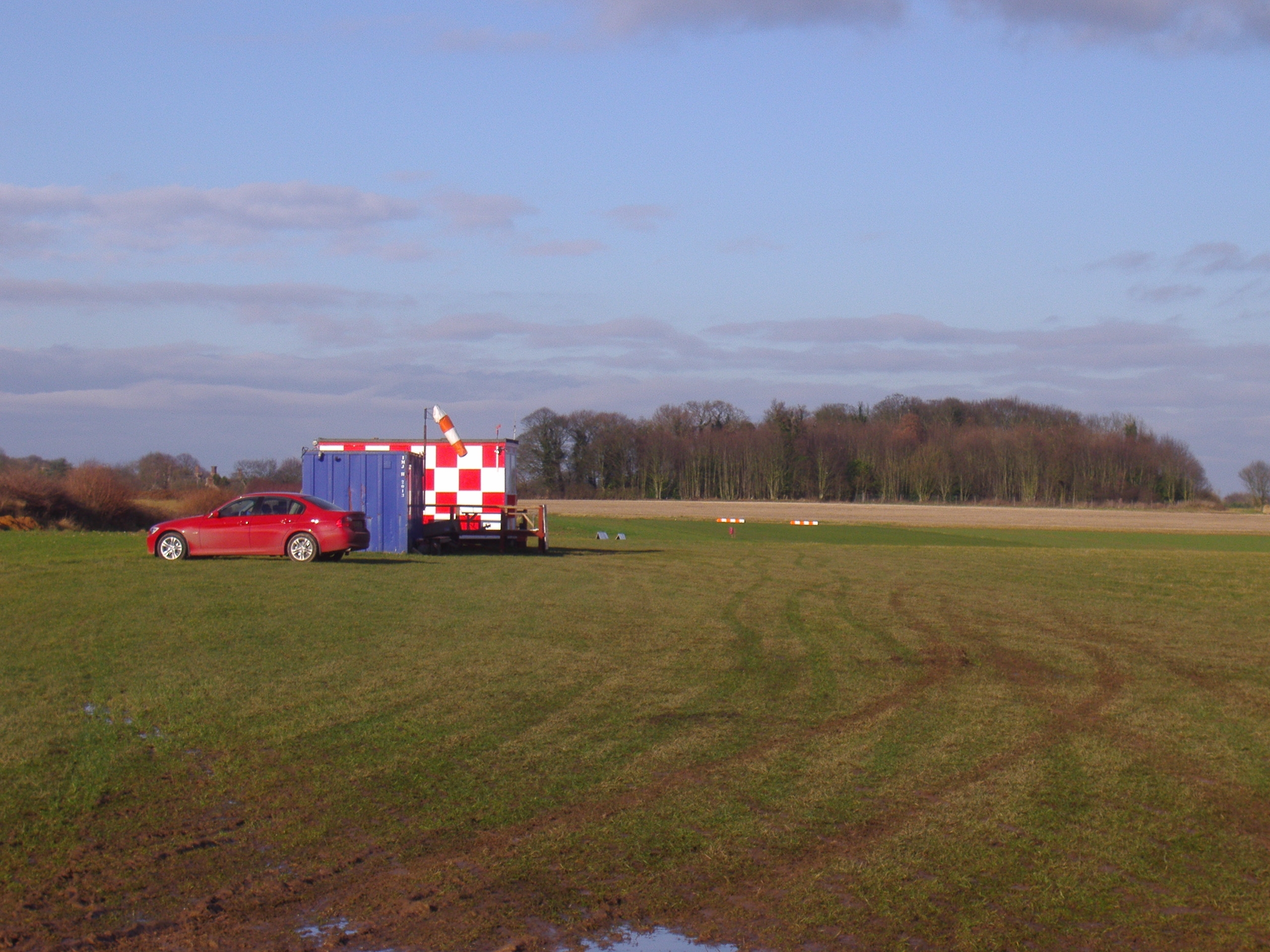
Northrepps Aerodrome
Northrepps Aerodrome is a privately owned airfield south west of the village of Northrepps, North Norfolk, England approximately 3 mi (4.8 km) south-south...
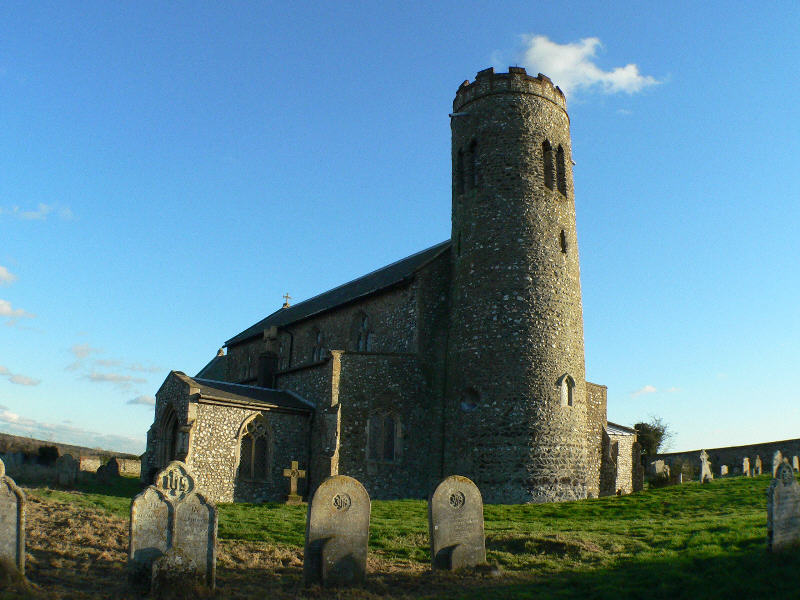
Roughton, Norfolk
Roughton is a village and a civil parish in the English county of Norfolk. The village is 3.7 miles (6.0 km) south of Cromer, 19.6 miles (31.5 km) north...

Northrepps
Northrepps is a village and a civil parish in the English county of Norfolk. It is 3.4 miles (5.5 km) southeast of Cromer, 22.2 miles (35.7 km) north of...
Thorpe Market
Thorpe Market is a village in the English county of Norfolk. The village is 4.4 miles south of Cromer, and 20.5 miles north of Norwich. The nearest railway...
Nearby Amenities
Located within 500m of 52.89249,1.3048272Have you been to Roughton Heath?
Leave your review of Roughton Heath below (or comments, questions and feedback).