Cooting Downs

Downs, Moorland in Kent Canterbury

England

Cooting Downs

Matlock Close This was Matlock Close, when it was a <a href="https://www.geograph.org.uk/photo/6911768">TR2352 : Temporary access to Fife Way</a> in July 2021. The development is part of the Aylesham Garden Village project <span class="nowrap"><a title="http://www.ayleshamgardenvillage.co.uk/" rel="nofollow ugc noopener" href="http://www.ayleshamgardenvillage.co.uk/">Link</a><img style="margin-left:2px;" alt="External link" title="External link - shift click to open in new window" src="https://s1.geograph.org.uk/img/external.png" width="10" height="10"/></span>
Matlock Close Credit: John Baker

Cooting Downs, located in Kent, England, is a picturesque expanse of moorland renowned for its natural beauty and diverse ecosystems. Spanning an area of approximately 200 hectares, it is situated near the village of Cooting, making it easily accessible to both locals and visitors alike.

The terrain of Cooting Downs is characterized by rolling hills, scattered woodlands, and open heathland, creating a captivating landscape that changes with the seasons. The area boasts a rich variety of flora and fauna. Visitors can expect to find an array of wildflowers, including heather, gorse, and orchids, which paint the landscape with vibrant colors during the spring and summer months.

The downs are home to numerous species of wildlife, making it a popular destination for nature enthusiasts and birdwatchers. Bird species such as the skylark, lapwing, and stonechat can be spotted in the skies above, while rabbits, foxes, and deer can be glimpsed roaming the moorland.

The downs are also steeped in history, with archaeological evidence suggesting human habitation in the area as far back as the Neolithic period. Ancient burial mounds and remnants of Roman settlements can be found scattered throughout the landscape, adding to the area's cultural significance.

Visitors to Cooting Downs can explore the numerous walking trails that crisscross the moorland, providing opportunities for leisurely strolls, picnics, and wildlife observation. The tranquil atmosphere, breathtaking vistas, and the chance to connect with nature make Cooting Downs a must-visit destination for anyone seeking a peaceful retreat in the heart of Kent.

If you have any feedback on the listing, please let us know in the comments section below.

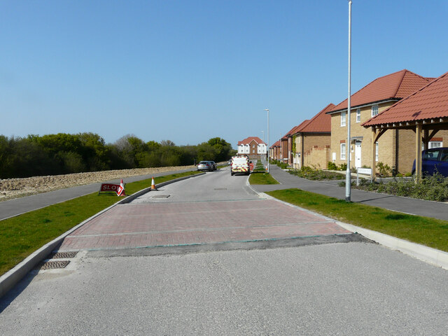
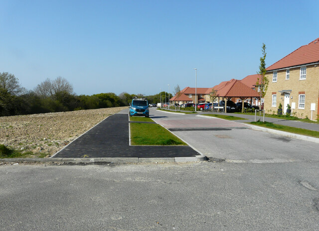
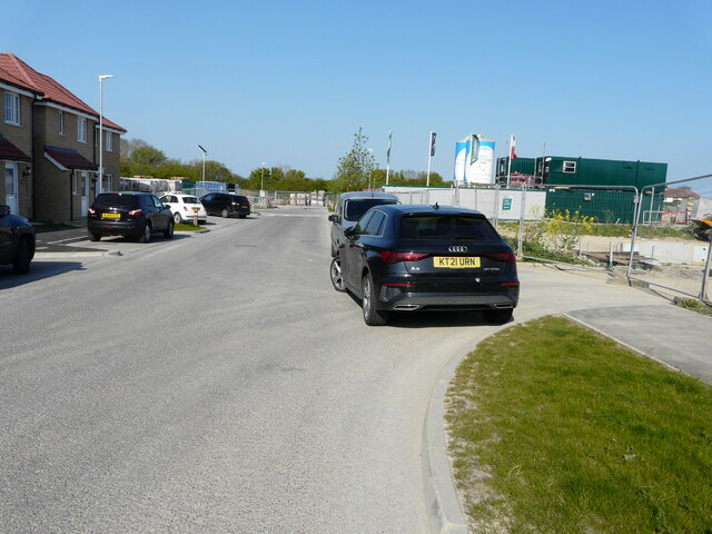
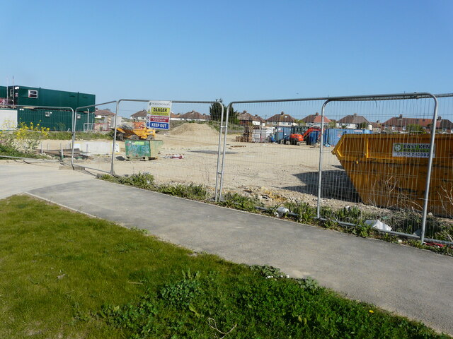
Cooting Downs Images

Images are sourced within 2km of 51.225652/1.1837853 or Grid Reference TR2252. Thanks to Geograph Open Source API. All images are credited.

Matlock Close This was Matlock Close, when it was a <a href="https://www.geograph.org.uk/photo/6911768">TR2352 : Temporary access to Fife Way</a> in July 2021. The development is part of the Aylesham Garden Village project <span class="nowrap"><a title="http://www.ayleshamgardenvillage.co.uk/" rel="nofollow ugc noopener" href="http://www.ayleshamgardenvillage.co.uk/">Link</a><img style="margin-left:2px;" alt="External link" title="External link - shift click to open in new window" src="https://s1.geograph.org.uk/img/external.png" width="10" height="10"/></span>
Matlock Close
This was Matlock Close, when it was a TR2352 : Temporary access to Fife Way in July 2021. The development is part of the Aylesham Garden Village project LinkExternal link
Matlock Close This view of <a href="https://www.geograph.org.uk/photo/7051747">TR2352 : Matlock Close</a> shows the house immediately ahead, at the bend in the road. The development is part of the Aylesham Garden Village project <span class="nowrap"><a title="http://www.ayleshamgardenvillage.co.uk/" rel="nofollow ugc noopener" href="http://www.ayleshamgardenvillage.co.uk/">Link</a><img style="margin-left:2px;" alt="External link" title="External link - shift click to open in new window" src="https://s1.geograph.org.uk/img/external.png" width="10" height="10"/></span>
Matlock Close
This view of TR2352 : Matlock Close shows the house immediately ahead, at the bend in the road. The development is part of the Aylesham Garden Village project LinkExternal link
Matlock Close This view of <a href="https://www.geograph.org.uk/photo/7052554">TR2352 : Matlock Close</a> shows the houses, on the right, beyond the bend in the road. The development is part of the Aylesham Garden Village project <span class="nowrap"><a title="http://www.ayleshamgardenvillage.co.uk/" rel="nofollow ugc noopener" href="http://www.ayleshamgardenvillage.co.uk/">Link</a><img style="margin-left:2px;" alt="External link" title="External link - shift click to open in new window" src="https://s1.geograph.org.uk/img/external.png" width="10" height="10"/></span>
Matlock Close
This view of TR2352 : Matlock Close shows the houses, on the right, beyond the bend in the road. The development is part of the Aylesham Garden Village project LinkExternal link
Matlock Close The view of <a href="https://www.geograph.org.uk/photo/7053051">TR2352 : Matlock Close</a> shows that the nearest house, on the right, is the same house on the left. The development is part of the Aylesham Garden Village project <span class="nowrap"><a title="http://www.ayleshamgardenvillage.co.uk/" rel="nofollow ugc noopener" href="http://www.ayleshamgardenvillage.co.uk/">Link</a><img style="margin-left:2px;" alt="External link" title="External link - shift click to open in new window" src="https://s1.geograph.org.uk/img/external.png" width="10" height="10"/></span>
Matlock Close
The view of TR2352 : Matlock Close shows that the nearest house, on the right, is the same house on the left. The development is part of the Aylesham Garden Village project LinkExternal link
Winder Place This was a similar view of <a href="https://www.geograph.org.uk/photo/6913073">TR2352 : Winder Place</a> in July 2021. The development is part of the Aylesham Garden Village project <span class="nowrap"><a title="http://www.ayleshamgardenvillage.co.uk/" rel="nofollow ugc noopener" href="http://www.ayleshamgardenvillage.co.uk/">Link</a><img style="margin-left:2px;" alt="External link" title="External link - shift click to open in new window" src="https://s1.geograph.org.uk/img/external.png" width="10" height="10"/></span>
Winder Place
This was a similar view of TR2352 : Winder Place in July 2021. The development is part of the Aylesham Garden Village project LinkExternal link
Winder Place A similar view of <a href="https://www.geograph.org.uk/photo/7054359">TR2352 : Winder Place</a>, but taken from further away. The development is part of the Aylesham Garden Village project <span class="nowrap"><a title="http://www.ayleshamgardenvillage.co.uk/" rel="nofollow ugc noopener" href="http://www.ayleshamgardenvillage.co.uk/">Link</a><img style="margin-left:2px;" alt="External link" title="External link - shift click to open in new window" src="https://s1.geograph.org.uk/img/external.png" width="10" height="10"/></span>
Winder Place
A similar view of TR2352 : Winder Place, but taken from further away. The development is part of the Aylesham Garden Village project LinkExternal link
Winder Place This was <a href="https://www.geograph.org.uk/photo/6910306">TR2352 : Winder Place</a> in July 2021. The development is part of the Aylesham Garden Village project <span class="nowrap"><a title="http://www.ayleshamgardenvillage.co.uk/" rel="nofollow ugc noopener" href="http://www.ayleshamgardenvillage.co.uk/">Link</a><img style="margin-left:2px;" alt="External link" title="External link - shift click to open in new window" src="https://s1.geograph.org.uk/img/external.png" width="10" height="10"/></span>
Winder Place
This was TR2352 : Winder Place in July 2021. The development is part of the Aylesham Garden Village project LinkExternal link
Houses under construction They are being built on the corner of Winder Place and Dorman Road North. Their location was a <a href="https://www.geograph.org.uk/photo/6276062">TR2352 : Building site</a> in September 2016. The muddy puddle, at the entrance to Central Boulevard, had been caused by recent wet weather. The development is part of the Aylesham Garden Village project <span class="nowrap"><a title="http://www.ayleshamgardenvillage.co.uk/" rel="nofollow ugc noopener" href="http://www.ayleshamgardenvillage.co.uk/">Link</a><img style="margin-left:2px;" alt="External link" title="External link - shift click to open in new window" src="https://s1.geograph.org.uk/img/external.png" width="10" height="10"/></span>
Houses under construction
They are being built on the corner of Winder Place and Dorman Road North. Their location was a TR2352 : Building site in September 2016. The muddy puddle, at the entrance to Central Boulevard, had been caused by recent wet weather. The development is part of the Aylesham Garden Village project LinkExternal link
Mexborough Square This was <a href="https://www.geograph.org.uk/photo/6553216">TR2352 : Mexborough Square</a> in July 2020. The development is part of the Aylesham Garden Village project <span class="nowrap"><a title="http://www.ayleshamgardenvillage.co.uk/" rel="nofollow ugc noopener" href="http://www.ayleshamgardenvillage.co.uk/">Link</a><img style="margin-left:2px;" alt="External link" title="External link - shift click to open in new window" src="https://s1.geograph.org.uk/img/external.png" width="10" height="10"/></span>
Mexborough Square
This was TR2352 : Mexborough Square in July 2020. The development is part of the Aylesham Garden Village project LinkExternal link
Central Boulevard This was <a href="https://www.geograph.org.uk/photo/6906642">TR2352 : Central Boulevard</a> in July 2021. The development is part of the Aylesham Garden Village project <span class="nowrap"><a title="http://www.ayleshamgardenvillage.co.uk/" rel="nofollow ugc noopener" href="http://www.ayleshamgardenvillage.co.uk/">Link</a><img style="margin-left:2px;" alt="External link" title="External link - shift click to open in new window" src="https://s1.geograph.org.uk/img/external.png" width="10" height="10"/></span>
Central Boulevard
This was TR2352 : Central Boulevard in July 2021. The development is part of the Aylesham Garden Village project LinkExternal link
Church of St Margaret in Womenswold The church of the village of Womenswold, near Barham, in Kent
Church of St Margaret in Womenswold
The church of the village of Womenswold, near Barham, in Kent
Winder Place This was <a href="https://www.geograph.org.uk/photo/7055028">TR2352 : Winder Place</a> in December 2021. The development is part of the Aylesham Garden Village project <span class="nowrap"><a title="http://www.ayleshamgardenvillage.co.uk/" rel="nofollow ugc noopener" href="http://www.ayleshamgardenvillage.co.uk/">Link</a><img style="margin-left:2px;" alt="External link" title="External link - shift click to open in new window" src="https://s1.geograph.org.uk/img/external.png" width="10" height="10"/></span>
Winder Place
This was TR2352 : Winder Place in December 2021. The development is part of the Aylesham Garden Village project LinkExternal link
Winder Place The road is part of the Aylesham Garden Village project <span class="nowrap"><a title="http://www.ayleshamgardenvillage.co.uk/" rel="nofollow ugc noopener" href="http://www.ayleshamgardenvillage.co.uk/">Link</a><img style="margin-left:2px;" alt="External link" title="External link - shift click to open in new window" src="https://s1.geograph.org.uk/img/external.png" width="10" height="10"/></span>
Winder Place
The road is part of the Aylesham Garden Village project LinkExternal link
Winder Place The road, part of the Aylesham Garden Village project <span class="nowrap"><a title="http://www.ayleshamgardenvillage.co.uk/" rel="nofollow ugc noopener" href="http://www.ayleshamgardenvillage.co.uk/">Link</a><img style="margin-left:2px;" alt="External link" title="External link - shift click to open in new window" src="https://s1.geograph.org.uk/img/external.png" width="10" height="10"/></span> continues as <a href="https://www.geograph.org.uk/photo/7171016">TR2352 : Winder Place</a> beyond the distant bend.
Winder Place
The road, part of the Aylesham Garden Village project LinkExternal link continues as TR2352 : Winder Place beyond the distant bend.
Mexborough Square This was <a href="https://www.geograph.org.uk/photo/7057287">TR2352 : Mexborough Square</a> in December 2021. The development is part of the Aylesham Garden Village project <span class="nowrap"><a title="http://www.ayleshamgardenvillage.co.uk/" rel="nofollow ugc noopener" href="http://www.ayleshamgardenvillage.co.uk/">Link</a><img style="margin-left:2px;" alt="External link" title="External link - shift click to open in new window" src="https://s1.geograph.org.uk/img/external.png" width="10" height="10"/></span>
Mexborough Square
This was TR2352 : Mexborough Square in December 2021. The development is part of the Aylesham Garden Village project LinkExternal link
Central Boulevard This stretch of the road lies beyond the last house in <a href="https://www.geograph.org.uk/photo/6322850">TR2352 : Central Boulevard</a>. The development is part of the Aylesham Garden Village project <span class="nowrap"><a title="http://www.ayleshamgardenvillage.co.uk/" rel="nofollow ugc noopener" href="http://www.ayleshamgardenvillage.co.uk/">Link</a><img style="margin-left:2px;" alt="External link" title="External link - shift click to open in new window" src="https://s1.geograph.org.uk/img/external.png" width="10" height="10"/></span>
Central Boulevard
This stretch of the road lies beyond the last house in TR2352 : Central Boulevard. The development is part of the Aylesham Garden Village project LinkExternal link
Construction site Access is from <a href="https://www.geograph.org.uk/photo/7173897">TR2352 : Central Boulevard</a>. The development is part of the Aylesham Garden Village project <span class="nowrap"><a title="http://www.ayleshamgardenvillage.co.uk/" rel="nofollow ugc noopener" href="http://www.ayleshamgardenvillage.co.uk/">Link</a><img style="margin-left:2px;" alt="External link" title="External link - shift click to open in new window" src="https://s1.geograph.org.uk/img/external.png" width="10" height="10"/></span>
Construction site
Access is from TR2352 : Central Boulevard. The development is part of the Aylesham Garden Village project LinkExternal link
Central Boulevard This was <a href="https://www.geograph.org.uk/photo/7058112">TR2352 : Central Boulevard</a> before the houses, on the left hand side of the road, had been  completed. The development is part of the Aylesham Garden Village project <span class="nowrap"><a title="http://www.ayleshamgardenvillage.co.uk/" rel="nofollow ugc noopener" href="http://www.ayleshamgardenvillage.co.uk/">Link</a><img style="margin-left:2px;" alt="External link" title="External link - shift click to open in new window" src="https://s1.geograph.org.uk/img/external.png" width="10" height="10"/></span>
Central Boulevard
This was TR2352 : Central Boulevard before the houses, on the left hand side of the road, had been completed. The development is part of the Aylesham Garden Village project LinkExternal link
Show me another place!

Cooting Downs is located at Grid Ref: TR2252 (Lat: 51.225652, Lng: 1.1837853)

Administrative County: Kent

District: Canterbury

Police Authority: Kent

What 3 Words

///prominent.slams.skim. Near Aylesham, Kent

Nearby Locations

Pitt Wood Cooting Downs

Related Wikis

Ileden and Oxenden Woods

Ileden and Oxenden Woods is an 86.4-hectare (213-acre) biological Site of Special Scientific Interest (SSSI) south-east of Canterbury in Kent. It is in...

Aylesham

Aylesham is a village and civil parish in the Dover district of Kent, England. The village is 6.5 miles (10.5 km) southeast of the cathedral city of Canterbury...

Black Mill, Barham

Black Mill or Barham Downs Mill was a smock mill at Barham, Kent, England which was accidentally burnt down in 1970 while under restoration. == History... ==

Womenswold

Womenswold is a village and civil parish centred 7 miles (11 km) south-east of Canterbury, Kent, England, 1 mile to the east of the A2 road. The parish...

Nearby Amenities

Located within 500m of 51.225652,1.1837853
The data included in this document is from www.openstreetmap.org. The data is made available under ODbL.

Have you been to Cooting Downs?

Leave your review of Cooting Downs below (or comments, questions and feedback).