Pitt Wood
Wood, Forest in Kent Canterbury
England
Pitt Wood
Pitt Wood is a picturesque woodland located in the county of Kent, in the southeastern region of England. Covering an area of approximately 100 acres, the wood is situated near the village of Wood, just a few miles south of the historic city of Canterbury.
Pitt Wood is characterized by its diverse range of tree species, including oak, beech, ash, and birch, which create a lush and vibrant environment. The forest floor is adorned with a variety of wildflowers, ferns, and mosses, further enhancing its natural beauty. The wood is also home to a rich array of wildlife, with numerous bird species, small mammals, and insects residing within its boundaries.
The wood offers visitors a tranquil and serene setting, ideal for walking, hiking, and nature exploration. Several well-marked trails meander through the woodland, allowing visitors to fully immerse themselves in its peaceful surroundings. There are also designated picnic areas and benches scattered throughout the wood, providing the perfect opportunity for visitors to relax and enjoy a picnic amidst the natural splendor.
Pitt Wood is managed by the local council, which ensures its preservation and protection. The wood is open to the public throughout the year, free of charge, enabling people of all ages to experience and appreciate its unique charm.
Overall, Pitt Wood in Kent is a captivating forest that offers a haven of tranquility and natural beauty, making it a popular destination for nature enthusiasts and those seeking a peaceful retreat.
If you have any feedback on the listing, please let us know in the comments section below.
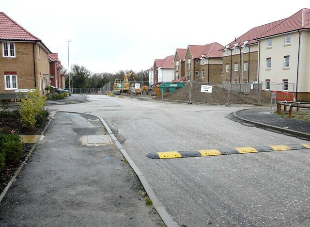
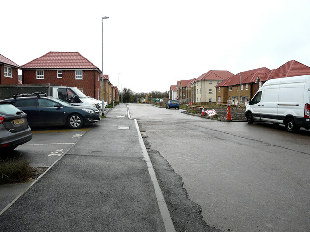
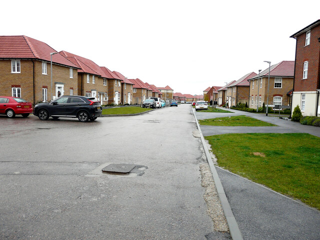
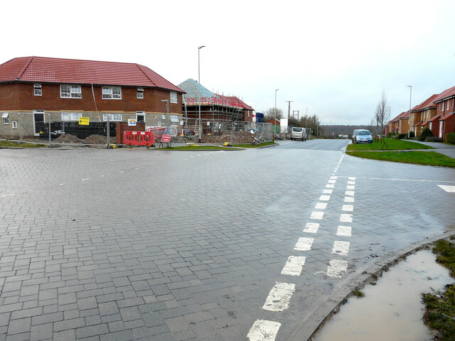
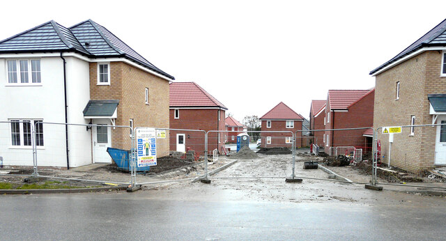
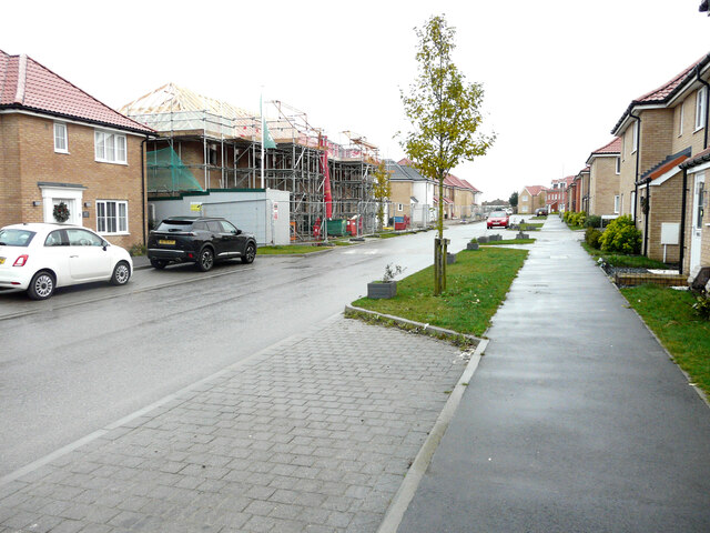
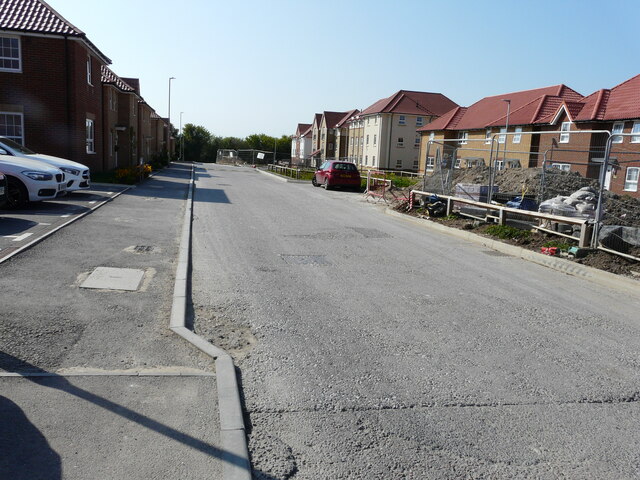
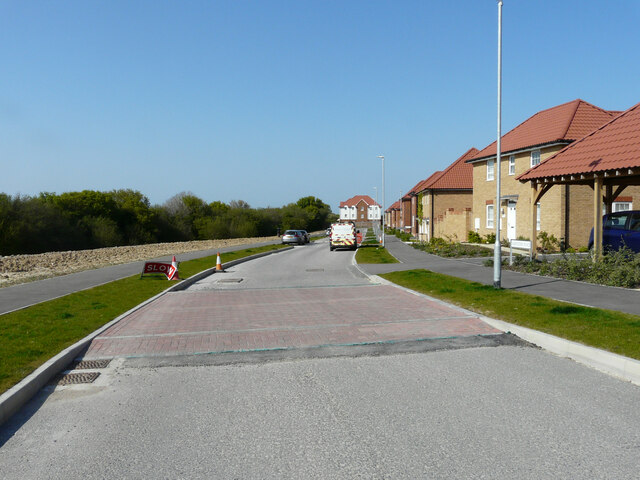
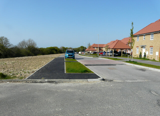
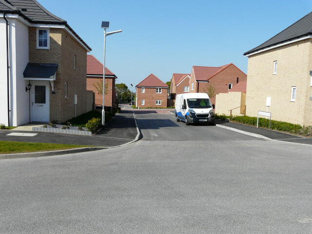
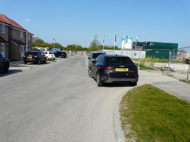
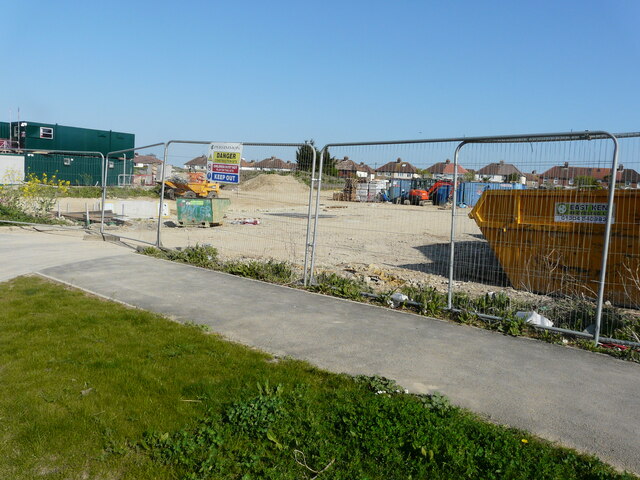
Pitt Wood Images
Images are sourced within 2km of 51.232059/1.1793853 or Grid Reference TR2252. Thanks to Geograph Open Source API. All images are credited.

Pitt Wood is located at Grid Ref: TR2252 (Lat: 51.232059, Lng: 1.1793853)
Administrative County: Kent
District: Canterbury
Police Authority: Kent
What 3 Words
///sweetened.breakaway.ethic. Near Aylesham, Kent
Nearby Locations
Related Wikis

Ileden and Oxenden Woods
Ileden and Oxenden Woods is an 86.4-hectare (213-acre) biological Site of Special Scientific Interest (SSSI) south-east of Canterbury in Kent. It is in...
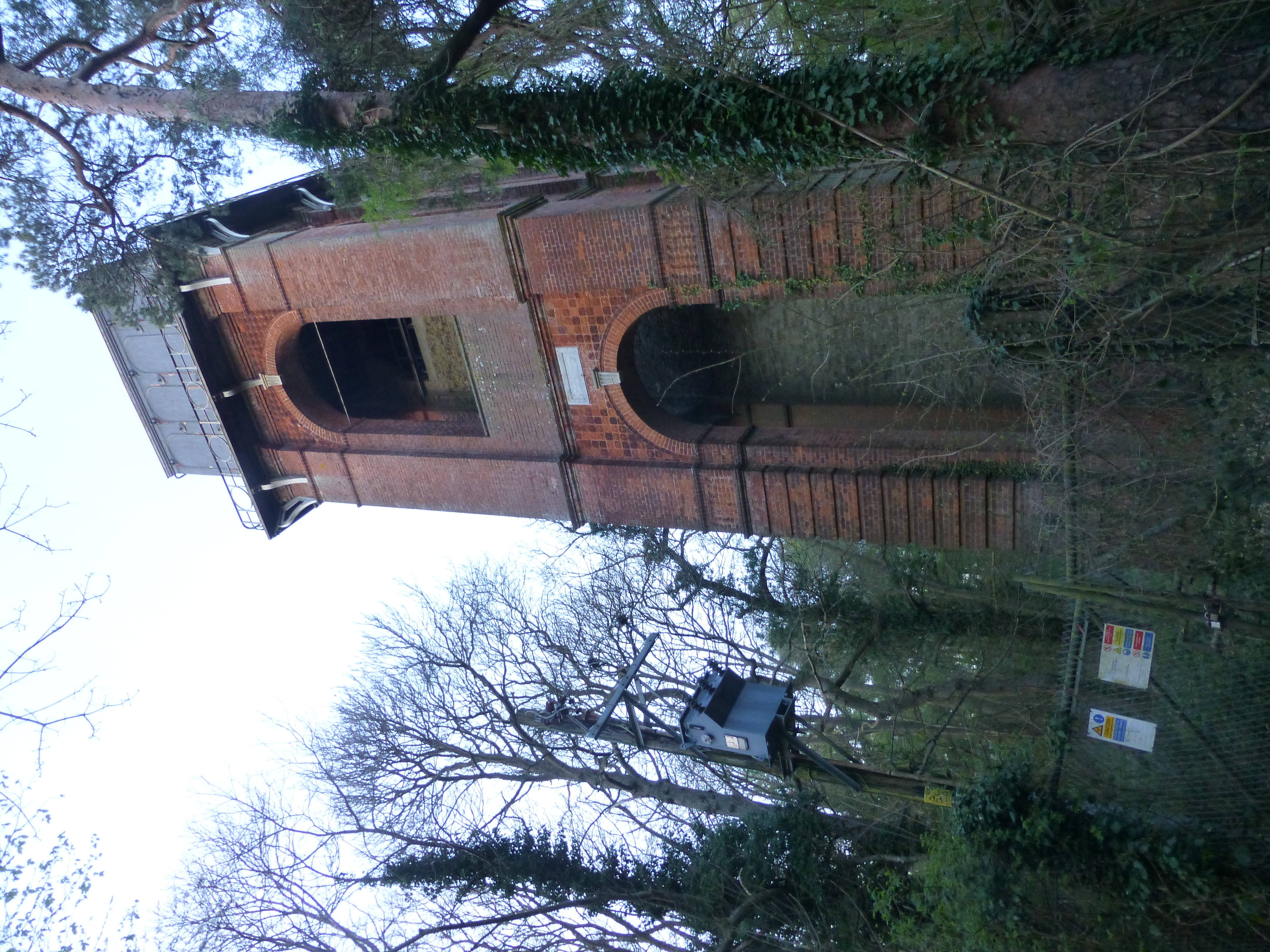
Adisham Water Tower
Adisham Water Tower is a Grade II listed building located in the parish of Adisham, Kent. The structure was built in 1903 in an Edwardian Italianate Revival...

Adisham
Adisham (formerly Adesham) is a village and civil parish in the English county of Kent. It is twinned with Campagne-lès-Hesdin in France. == Geography... ==
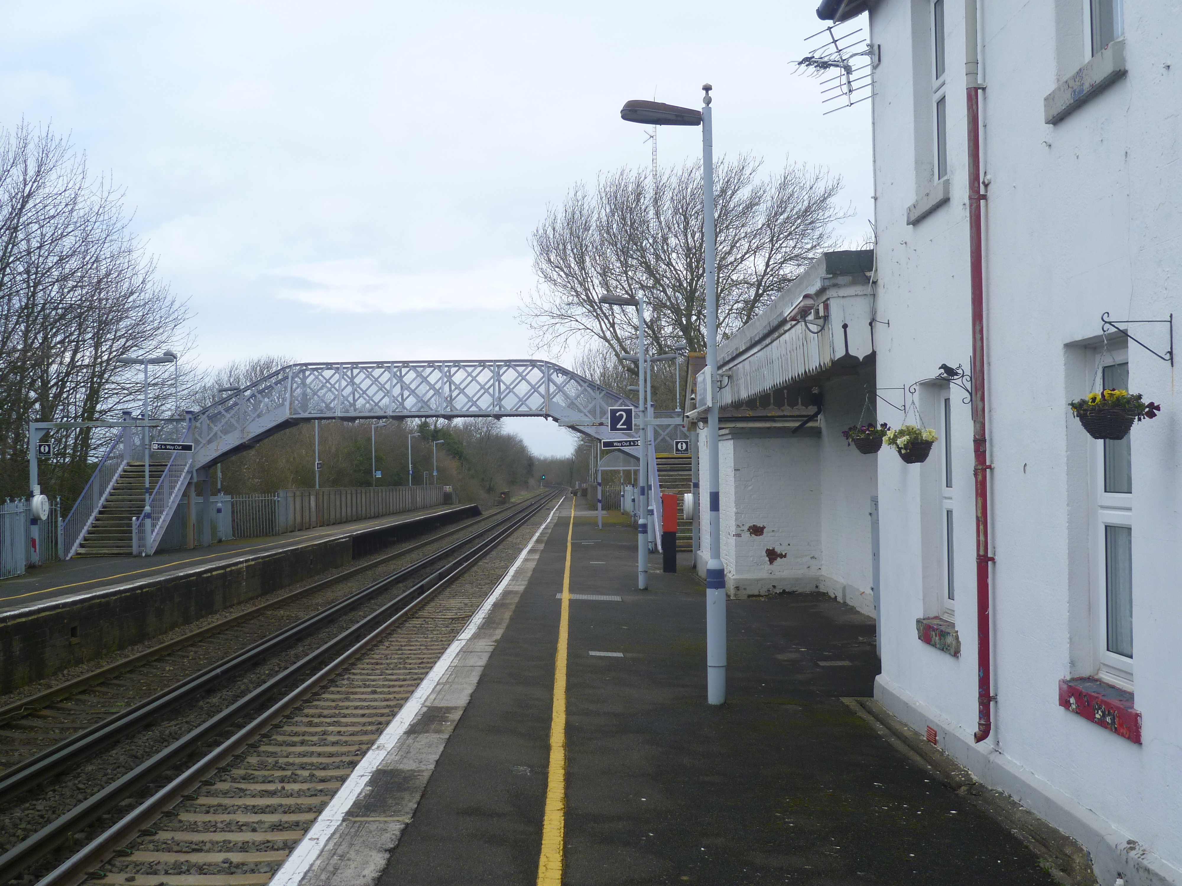
Adisham railway station
Adisham railway station is on the Dover branch of the Chatham Main Line in England, and serves the village of Adisham, Kent. It is 67 miles 60 chains...

Aylesham
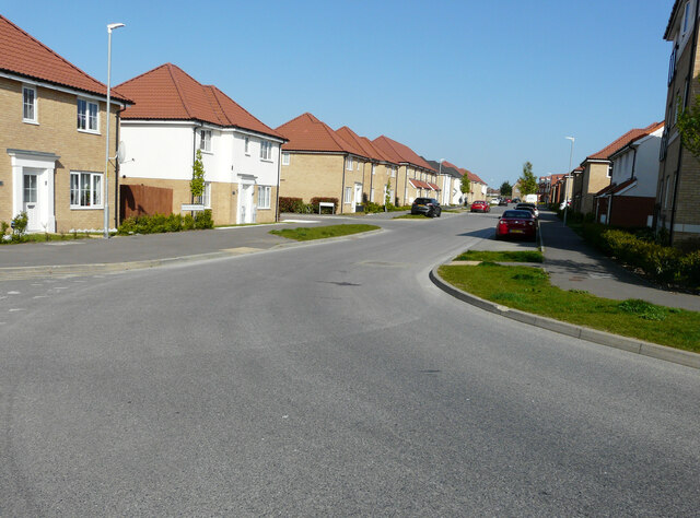
Aylesham is a village and civil parish in the Dover district of Kent, England. The village is 6.5 miles (10.5 km) southeast of the cathedral city of Canterbury...

Black Mill, Barham
Black Mill or Barham Downs Mill was a smock mill at Barham, Kent, England which was accidentally burnt down in 1970 while under restoration. == History... ==
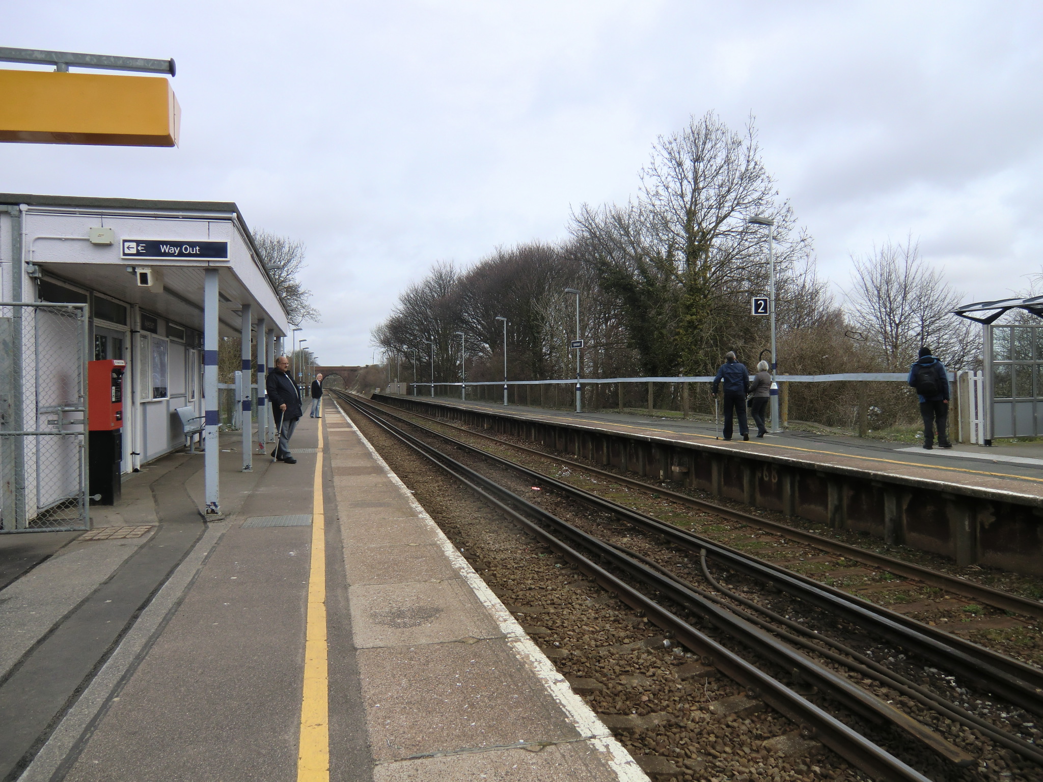
Aylesham railway station
Aylesham railway station is on the Dover branch of the Chatham Main Line in England, and serves the village of Aylesham, Kent. It is 68 miles 66 chains...
Womenswold
Womenswold is a village and civil parish centred 7 miles (11 km) south-east of Canterbury, Kent, England, 1 mile to the east of the A2 road. The parish...
Nearby Amenities
Located within 500m of 51.232059,1.1793853Have you been to Pitt Wood?
Leave your review of Pitt Wood below (or comments, questions and feedback).