Oxenden Wood
Wood, Forest in Kent Canterbury
England
Oxenden Wood
Oxenden Wood, located in the county of Kent, England, is a picturesque woodland that covers an area of approximately 100 acres. Situated near the village of Wingham, the wood is part of the wider Blean Woods complex, which is a designated Site of Special Scientific Interest (SSSI) and a Special Area of Conservation (SAC).
The wood is predominantly made up of ancient woodland, meaning it has been continuously wooded since at least 1600 AD. The trees here are a mix of broadleaf species, including oak, ash, beech, and hazel, creating a diverse and vibrant ecosystem. The presence of these deciduous trees makes Oxenden Wood particularly stunning during the autumn months, when the leaves change color, painting the landscape with warm hues.
The woodland floor is covered in a thick carpet of bluebells in the spring, creating a breathtaking spectacle. With its rich biodiversity, the wood is home to a variety of wildlife, including deer, badgers, foxes, and numerous bird species. Additionally, the wood boasts a diverse range of plant species, such as wild garlic, wood anemones, and wood sorrel.
Oxenden Wood offers several walking trails, allowing visitors to explore the beauty of the woodland at their own pace. These trails wind their way through the ancient trees, offering glimpses of wildlife and providing opportunities for peaceful reflection.
Overall, Oxenden Wood in Kent is a natural treasure, offering visitors a chance to immerse themselves in the tranquility and beauty of a thriving ancient woodland ecosystem.
If you have any feedback on the listing, please let us know in the comments section below.
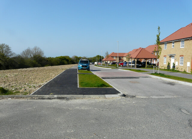
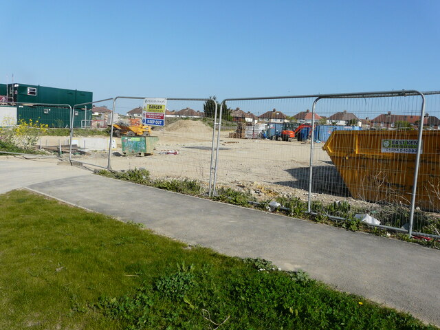
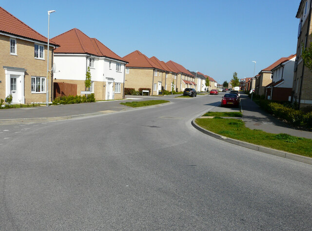
Oxenden Wood Images
Images are sourced within 2km of 51.23561/1.1797878 or Grid Reference TR2253. Thanks to Geograph Open Source API. All images are credited.


Oxenden Wood is located at Grid Ref: TR2253 (Lat: 51.23561, Lng: 1.1797878)
Administrative County: Kent
District: Canterbury
Police Authority: Kent
What 3 Words
///wreck.scarred.curvy. Near Aylesham, Kent
Nearby Locations
Related Wikis

Ileden and Oxenden Woods
Ileden and Oxenden Woods is an 86.4-hectare (213-acre) biological Site of Special Scientific Interest (SSSI) south-east of Canterbury in Kent. It is in...

Adisham
Adisham (formerly Adesham) is a village and civil parish in the English county of Kent. It is twinned with Campagne-lès-Hesdin in France. == Geography... ==
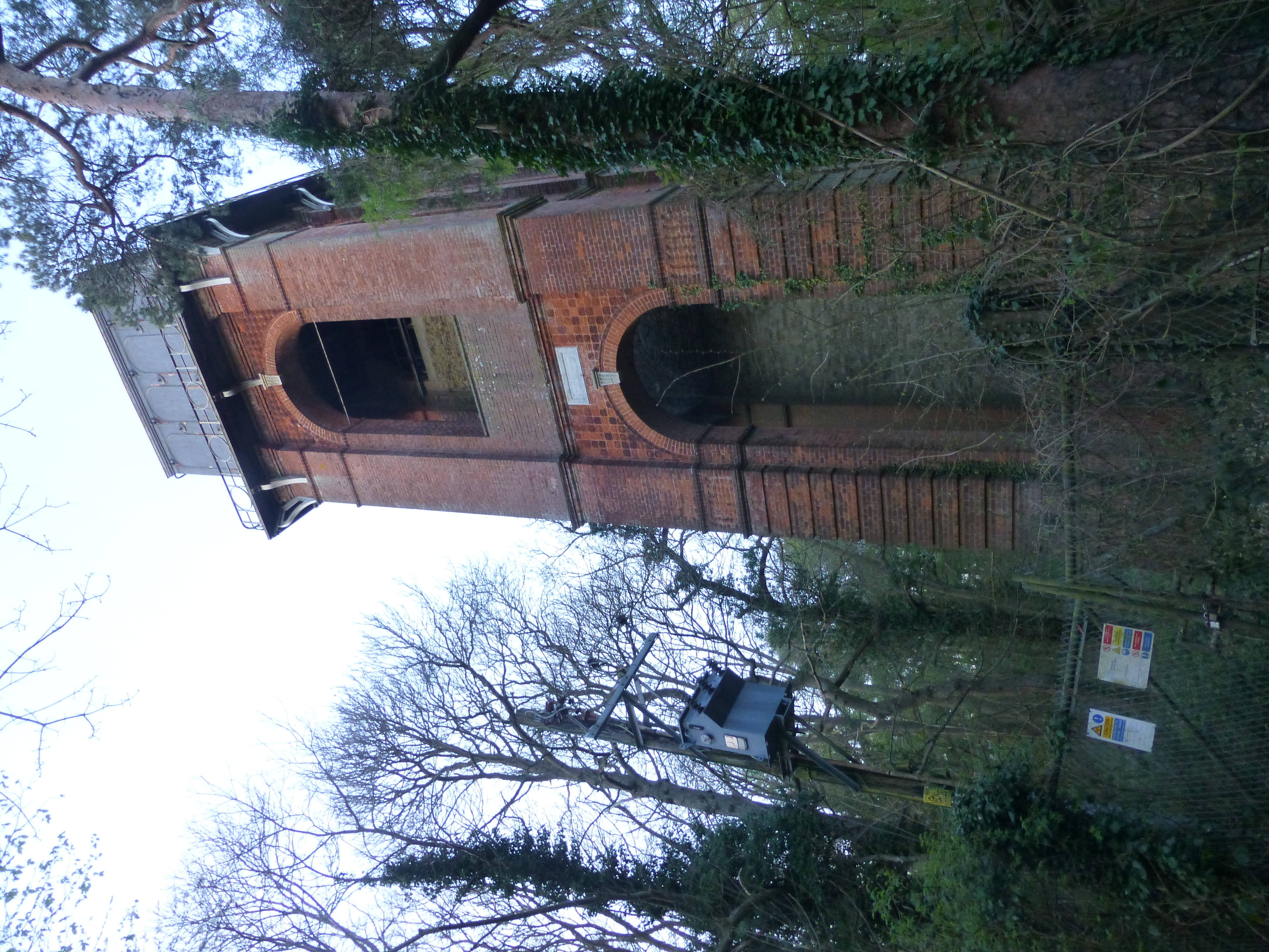
Adisham Water Tower
Adisham Water Tower is a Grade II listed building located in the parish of Adisham, Kent. The structure was built in 1903 in an Edwardian Italianate Revival...
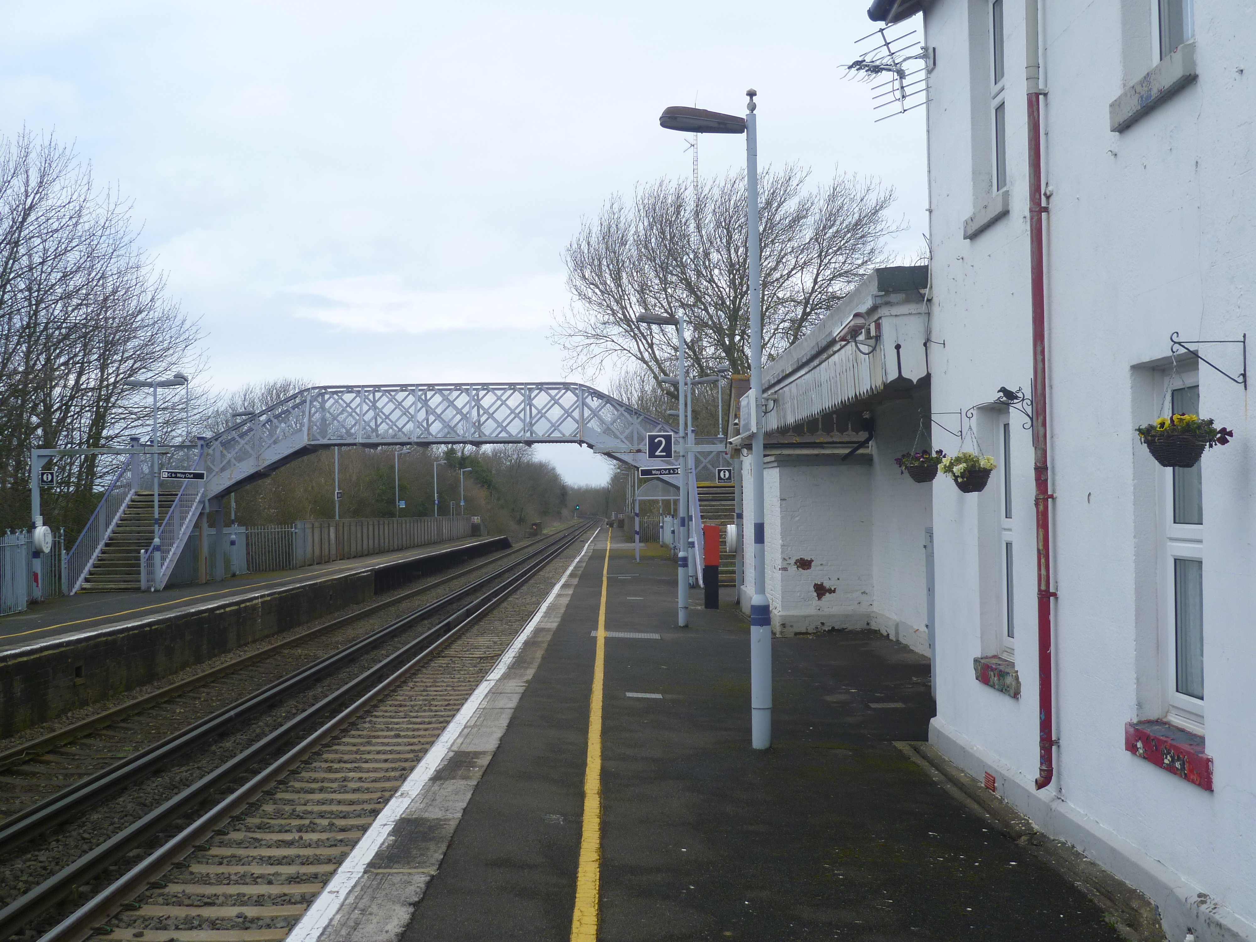
Adisham railway station
Adisham railway station is on the Dover branch of the Chatham Main Line in England, and serves the village of Adisham, Kent. It is 67 miles 60 chains...

Aylesham
Aylesham is a village and civil parish in the Dover district of Kent, England. The village is 6.5 miles (10.5 km) southeast of the cathedral city of Canterbury...
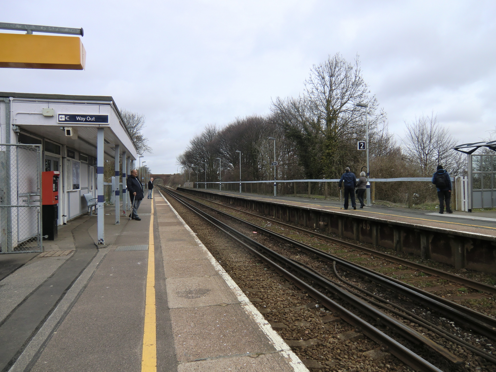
Aylesham railway station
Aylesham railway station is on the Dover branch of the Chatham Main Line in England, and serves the village of Aylesham, Kent. It is 68 miles 66 chains...

Black Mill, Barham
Black Mill or Barham Downs Mill was a smock mill at Barham, Kent, England which was accidentally burnt down in 1970 while under restoration. == History... ==
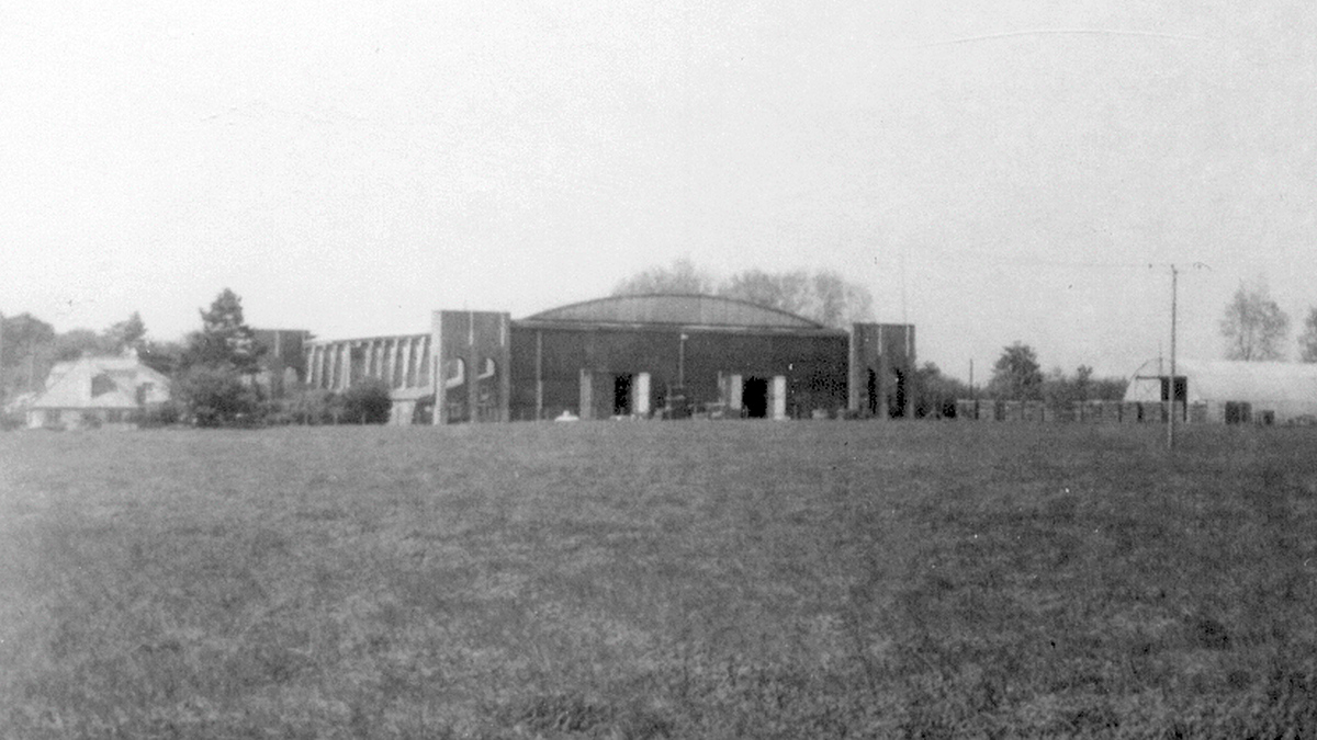
Bekesbourne Aerodrome
Bekesbourne Aerodrome was an airport located at the southeast edge of the village of Bekesbourne, southeast of Canterbury, Kent. It operated from 1916...
Nearby Amenities
Located within 500m of 51.23561,1.1797878Have you been to Oxenden Wood?
Leave your review of Oxenden Wood below (or comments, questions and feedback).