Adisham

Settlement in Kent Canterbury

England

Adisham

Fife Way The development is part of the Aylesham Garden Village project <span class="nowrap"><a title="http://www.ayleshamgardenvillage.co.uk/" rel="nofollow ugc noopener" href="http://www.ayleshamgardenvillage.co.uk/">Link</a><img style="margin-left:2px;" alt="External link" title="External link - shift click to open in new window" src="https://s1.geograph.org.uk/img/external.png" width="10" height="10"/></span>
Fife Way Credit: John Baker

Adisham is a small village located in the county of Kent, in southeastern England. Situated in the picturesque countryside, Adisham is nestled within the rolling hills of the North Downs, offering stunning views and a tranquil atmosphere.

The village is home to approximately 500 residents and is renowned for its charming and quaint character. Adisham boasts a rich history, with records dating back to the medieval period. The centerpiece of the village is the Grade I listed Adisham Church, an architectural gem that dates back to the 12th century. The church features beautiful stained glass windows and intricate stonework, attracting visitors and history enthusiasts alike.

Surrounded by lush green fields and meadows, Adisham offers a perfect escape from the bustling city life. The village is a haven for nature lovers, with numerous walking trails and footpaths, allowing visitors to explore the stunning countryside. The nearby Adisham Downs and Shepherd's Wood are particularly popular among hikers and wildlife enthusiasts.

Despite its small size, Adisham offers a range of amenities to its residents. The village has a local pub, The Anchor, which serves traditional British cuisine and is a popular gathering spot for locals. Adisham also has a primary school, a village hall, and a cricket club, fostering a strong sense of community spirit.

Overall, Adisham is a charming and idyllic village that offers a slice of rural English life. Its rich history, stunning natural beauty, and close-knit community make it a hidden gem in the heart of Kent.

If you have any feedback on the listing, please let us know in the comments section below.
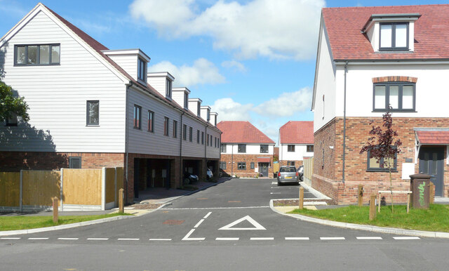
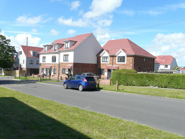
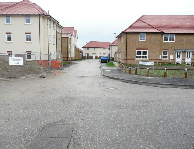
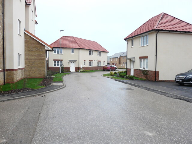
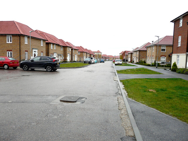
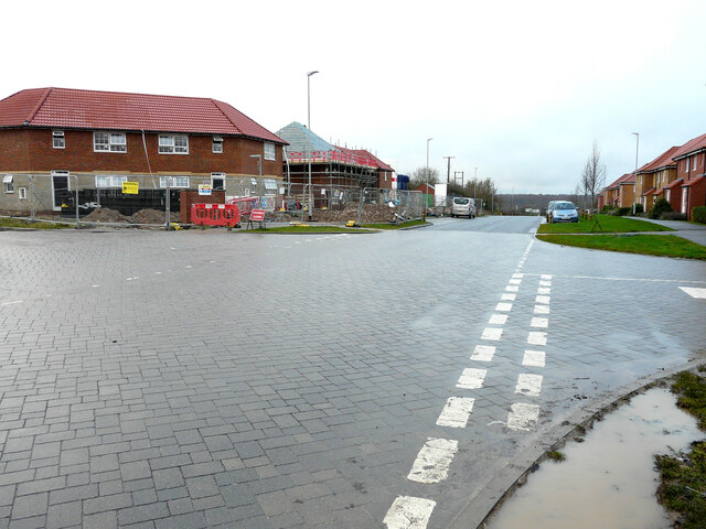
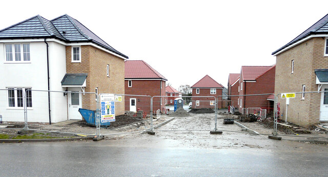
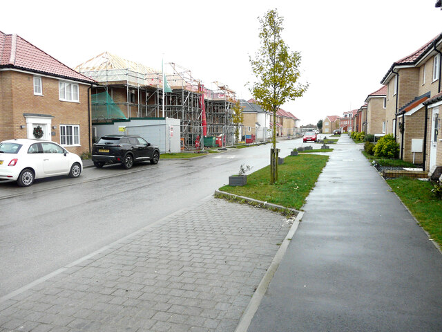
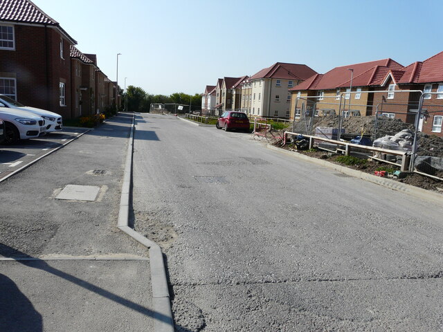
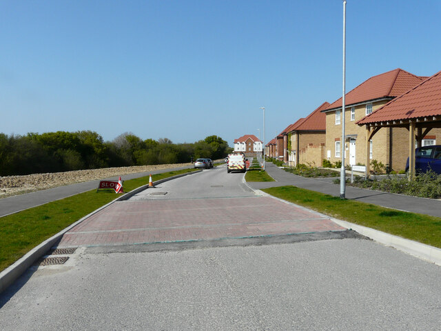
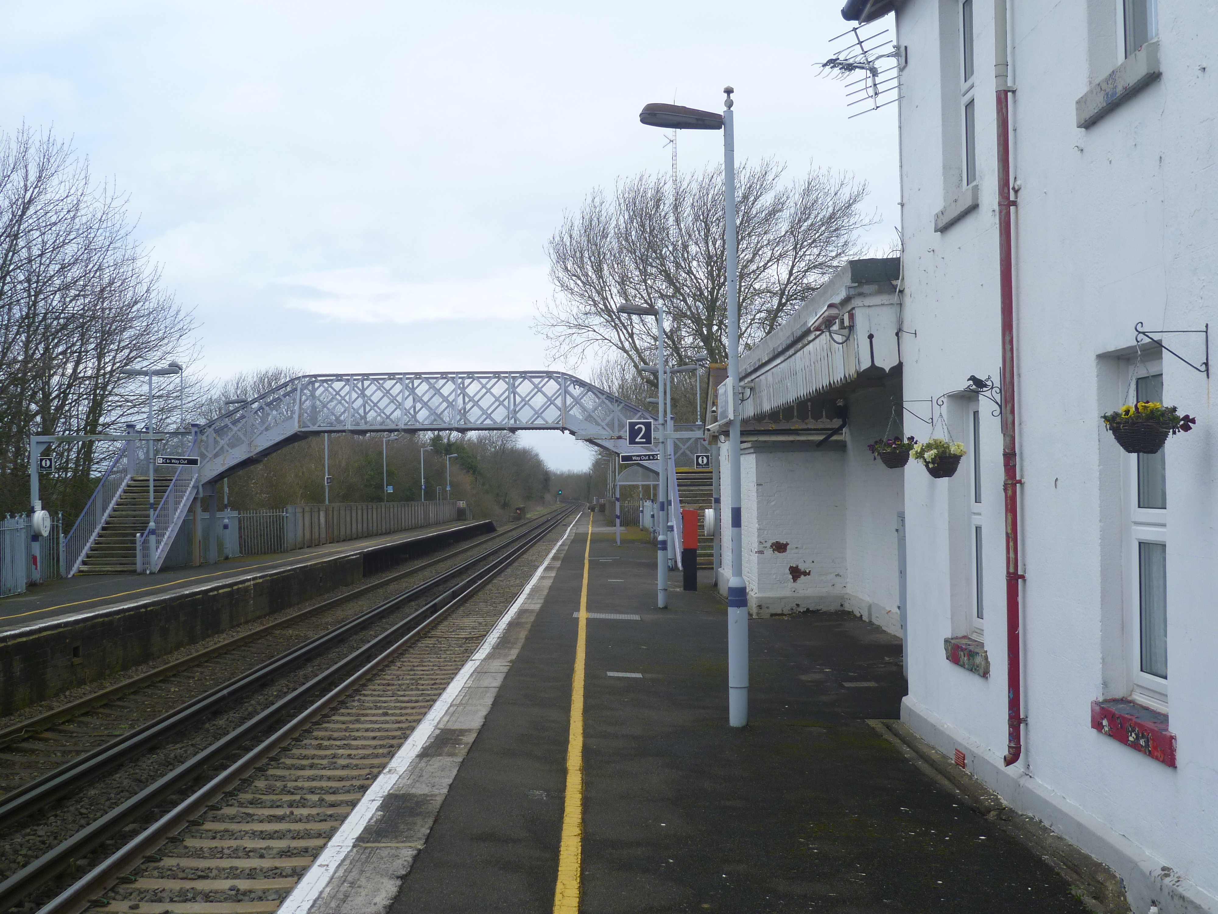
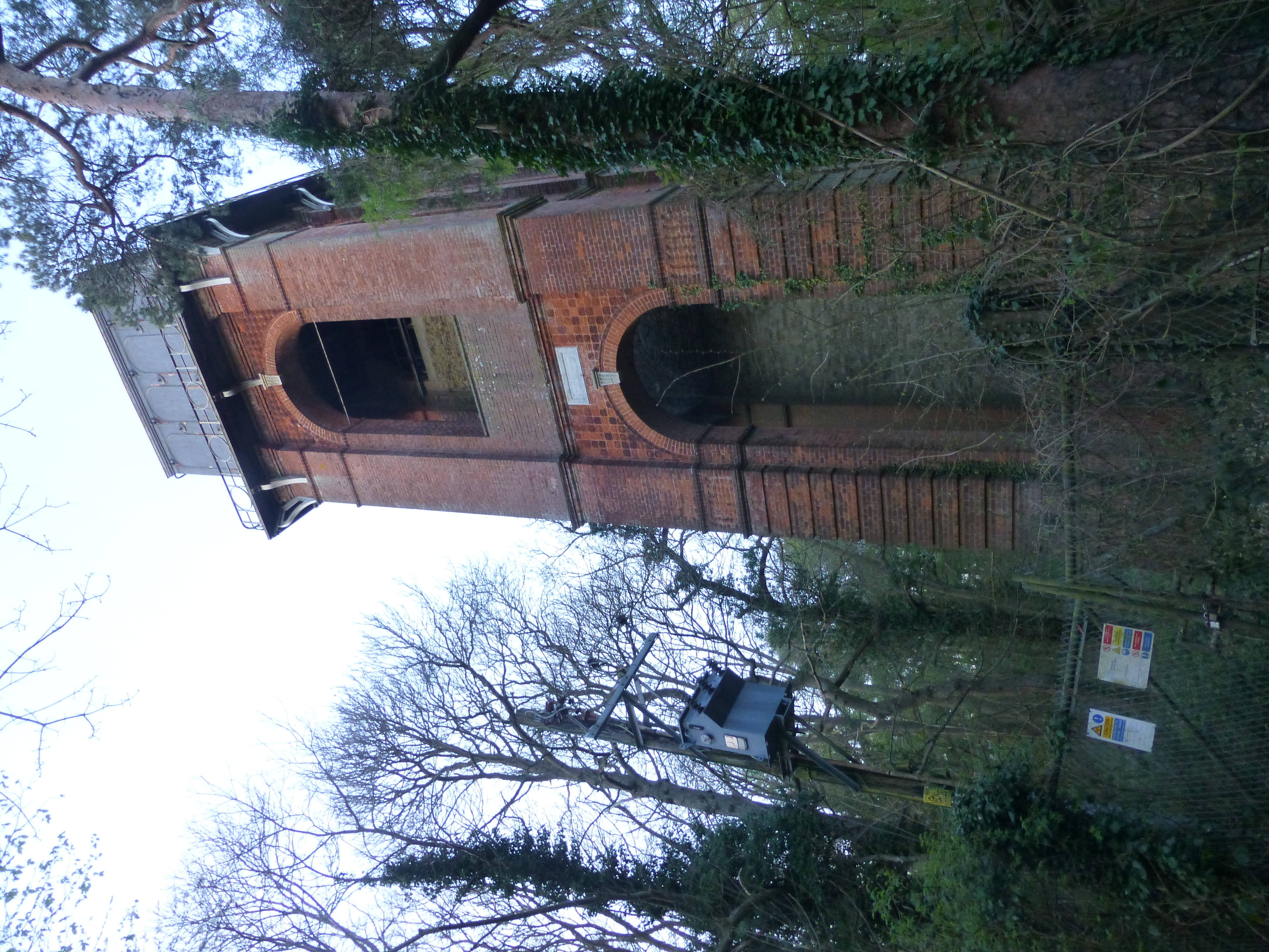
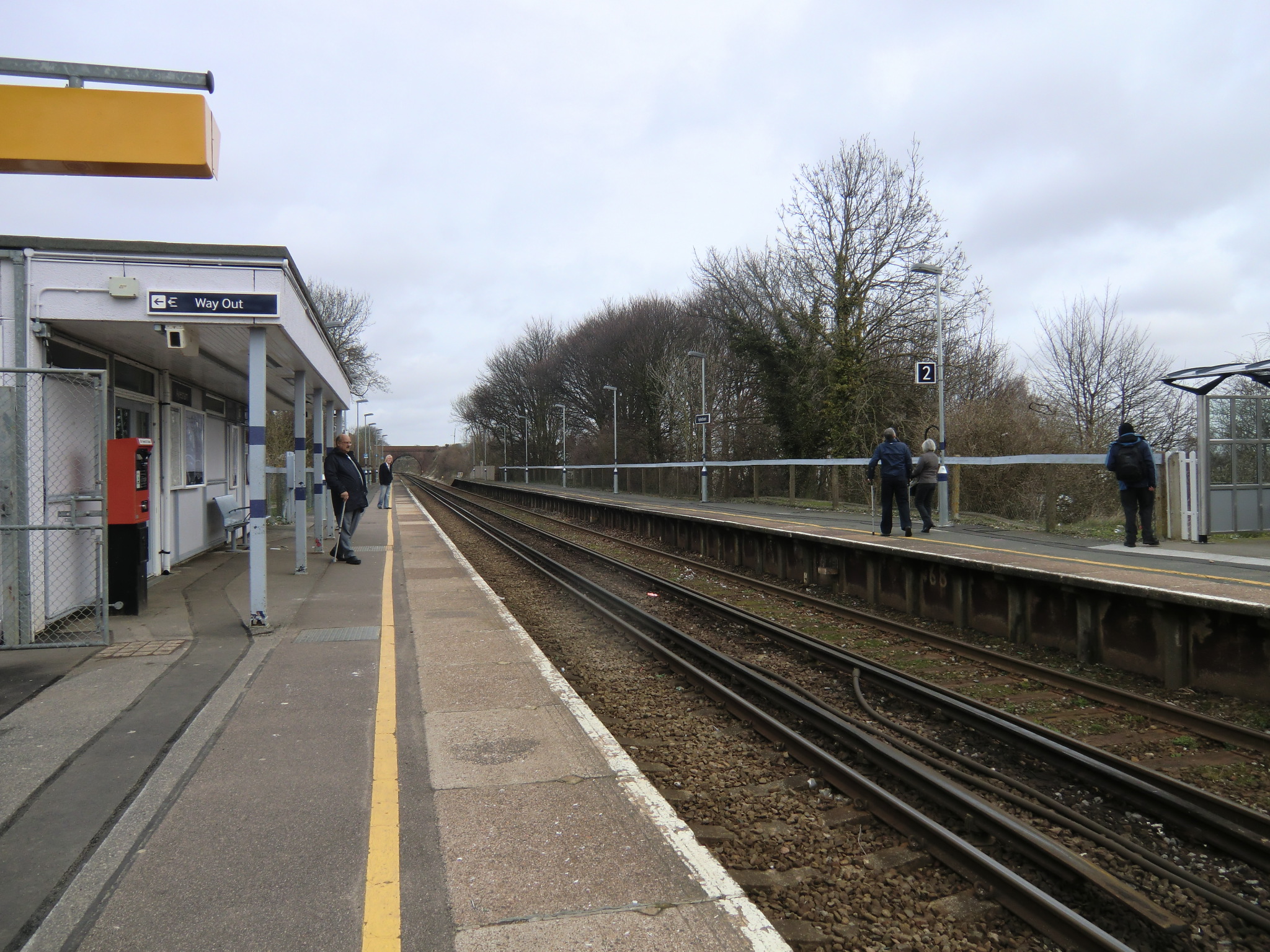
Adisham Images

Images are sourced within 2km of 51.238298/1.186827 or Grid Reference TR2253. Thanks to Geograph Open Source API. All images are credited.

Fife Way The development is part of the Aylesham Garden Village project <span class="nowrap"><a title="http://www.ayleshamgardenvillage.co.uk/" rel="nofollow ugc noopener" href="http://www.ayleshamgardenvillage.co.uk/">Link</a><img style="margin-left:2px;" alt="External link" title="External link - shift click to open in new window" src="https://s1.geograph.org.uk/img/external.png" width="10" height="10"/></span>
Fife Way
The development is part of the Aylesham Garden Village project LinkExternal link
Temporary access to Fife Way There is a noticeboard, with this information about access, affixed to a shed, at the bend in the road. The development is part of the Aylesham Garden Village project <span class="nowrap"><a title="http://www.ayleshamgardenvillage.co.uk/" rel="nofollow ugc noopener" href="http://www.ayleshamgardenvillage.co.uk/">Link</a><img style="margin-left:2px;" alt="External link" title="External link - shift click to open in new window" src="https://s1.geograph.org.uk/img/external.png" width="10" height="10"/></span>

The road has since been named Matlock Close.
Temporary access to Fife Way
There is a noticeboard, with this information about access, affixed to a shed, at the bend in the road. The development is part of the Aylesham Garden Village project LinkExternal link The road has since been named Matlock Close.
Winder Place Note the sign, affixed to the fence panel on the right, pointing to <a href="https://www.geograph.org.uk/photo/6911768">TR2352 : Temporary access to Fife Way</a>. The development is part of the Aylesham Garden Village project <span class="nowrap"><a title="http://www.ayleshamgardenvillage.co.uk/" rel="nofollow ugc noopener" href="http://www.ayleshamgardenvillage.co.uk/">Link</a><img style="margin-left:2px;" alt="External link" title="External link - shift click to open in new window" src="https://s1.geograph.org.uk/img/external.png" width="10" height="10"/></span>
Winder Place
Note the sign, affixed to the fence panel on the right, pointing to TR2352 : Temporary access to Fife Way. The development is part of the Aylesham Garden Village project LinkExternal link
Winder Place The development is part of the Aylesham Garden Village project <span class="nowrap"><a title="http://www.ayleshamgardenvillage.co.uk/" rel="nofollow ugc noopener" href="http://www.ayleshamgardenvillage.co.uk/">Link</a><img style="margin-left:2px;" alt="External link" title="External link - shift click to open in new window" src="https://s1.geograph.org.uk/img/external.png" width="10" height="10"/></span>
Winder Place
The development is part of the Aylesham Garden Village project LinkExternal link
Greyhound Gardens This close of semi-detached houses are numbered from 1 to 12.
Greyhound Gardens
This close of semi-detached houses are numbered from 1 to 12.
Greyhound Gardens This row of semi-detached houses, located in Dorman Avenue South. are numbered from 13 to 17. Number 13 (the house at the far end) also appears in this view of <a href="https://www.geograph.org.uk/photo/6914517">TR2352 : Greyhound Gardens</a>. 

The location was a <a href="https://www.geograph.org.uk/photo/6276085">TR2352 : Building site, Dorman Avenue South</a> in September 2019.
Greyhound Gardens
This row of semi-detached houses, located in Dorman Avenue South. are numbered from 13 to 17. Number 13 (the house at the far end) also appears in this view of TR2352 : Greyhound Gardens. The location was a TR2352 : Building site, Dorman Avenue South in September 2019.
Matlock Close This was Matlock Close, when it was a <a href="https://www.geograph.org.uk/photo/6911768">TR2352 : Temporary access to Fife Way</a> in July 2021. The development is part of the Aylesham Garden Village project <span class="nowrap"><a title="http://www.ayleshamgardenvillage.co.uk/" rel="nofollow ugc noopener" href="http://www.ayleshamgardenvillage.co.uk/">Link</a><img style="margin-left:2px;" alt="External link" title="External link - shift click to open in new window" src="https://s1.geograph.org.uk/img/external.png" width="10" height="10"/></span>
Matlock Close
This was Matlock Close, when it was a TR2352 : Temporary access to Fife Way in July 2021. The development is part of the Aylesham Garden Village project LinkExternal link
Matlock Close This view of <a href="https://www.geograph.org.uk/photo/7051747">TR2352 : Matlock Close</a> shows the house immediately ahead, at the bend in the road. The development is part of the Aylesham Garden Village project <span class="nowrap"><a title="http://www.ayleshamgardenvillage.co.uk/" rel="nofollow ugc noopener" href="http://www.ayleshamgardenvillage.co.uk/">Link</a><img style="margin-left:2px;" alt="External link" title="External link - shift click to open in new window" src="https://s1.geograph.org.uk/img/external.png" width="10" height="10"/></span>
Matlock Close
This view of TR2352 : Matlock Close shows the house immediately ahead, at the bend in the road. The development is part of the Aylesham Garden Village project LinkExternal link
Matlock Close This view of <a href="https://www.geograph.org.uk/photo/7052554">TR2352 : Matlock Close</a> shows the houses, on the right, beyond the bend in the road. The development is part of the Aylesham Garden Village project <span class="nowrap"><a title="http://www.ayleshamgardenvillage.co.uk/" rel="nofollow ugc noopener" href="http://www.ayleshamgardenvillage.co.uk/">Link</a><img style="margin-left:2px;" alt="External link" title="External link - shift click to open in new window" src="https://s1.geograph.org.uk/img/external.png" width="10" height="10"/></span>
Matlock Close
This view of TR2352 : Matlock Close shows the houses, on the right, beyond the bend in the road. The development is part of the Aylesham Garden Village project LinkExternal link
Matlock Close The view of <a href="https://www.geograph.org.uk/photo/7053051">TR2352 : Matlock Close</a> shows that the nearest house, on the right, is the same house on the left. The development is part of the Aylesham Garden Village project <span class="nowrap"><a title="http://www.ayleshamgardenvillage.co.uk/" rel="nofollow ugc noopener" href="http://www.ayleshamgardenvillage.co.uk/">Link</a><img style="margin-left:2px;" alt="External link" title="External link - shift click to open in new window" src="https://s1.geograph.org.uk/img/external.png" width="10" height="10"/></span>
Matlock Close
The view of TR2352 : Matlock Close shows that the nearest house, on the right, is the same house on the left. The development is part of the Aylesham Garden Village project LinkExternal link
Winder Place This was a similar view of <a href="https://www.geograph.org.uk/photo/6913073">TR2352 : Winder Place</a> in July 2021. The development is part of the Aylesham Garden Village project <span class="nowrap"><a title="http://www.ayleshamgardenvillage.co.uk/" rel="nofollow ugc noopener" href="http://www.ayleshamgardenvillage.co.uk/">Link</a><img style="margin-left:2px;" alt="External link" title="External link - shift click to open in new window" src="https://s1.geograph.org.uk/img/external.png" width="10" height="10"/></span>
Winder Place
This was a similar view of TR2352 : Winder Place in July 2021. The development is part of the Aylesham Garden Village project LinkExternal link
Winder Place A similar view of <a href="https://www.geograph.org.uk/photo/7054359">TR2352 : Winder Place</a>, but taken from further away. The development is part of the Aylesham Garden Village project <span class="nowrap"><a title="http://www.ayleshamgardenvillage.co.uk/" rel="nofollow ugc noopener" href="http://www.ayleshamgardenvillage.co.uk/">Link</a><img style="margin-left:2px;" alt="External link" title="External link - shift click to open in new window" src="https://s1.geograph.org.uk/img/external.png" width="10" height="10"/></span>
Winder Place
A similar view of TR2352 : Winder Place, but taken from further away. The development is part of the Aylesham Garden Village project LinkExternal link
Winder Place This was <a href="https://www.geograph.org.uk/photo/6910306">TR2352 : Winder Place</a> in July 2021. The development is part of the Aylesham Garden Village project <span class="nowrap"><a title="http://www.ayleshamgardenvillage.co.uk/" rel="nofollow ugc noopener" href="http://www.ayleshamgardenvillage.co.uk/">Link</a><img style="margin-left:2px;" alt="External link" title="External link - shift click to open in new window" src="https://s1.geograph.org.uk/img/external.png" width="10" height="10"/></span>
Winder Place
This was TR2352 : Winder Place in July 2021. The development is part of the Aylesham Garden Village project LinkExternal link
Houses under construction They are being built on the corner of Winder Place and Dorman Road North. Their location was a <a href="https://www.geograph.org.uk/photo/6276062">TR2352 : Building site</a> in September 2016. The muddy puddle, at the entrance to Central Boulevard, had been caused by recent wet weather. The development is part of the Aylesham Garden Village project <span class="nowrap"><a title="http://www.ayleshamgardenvillage.co.uk/" rel="nofollow ugc noopener" href="http://www.ayleshamgardenvillage.co.uk/">Link</a><img style="margin-left:2px;" alt="External link" title="External link - shift click to open in new window" src="https://s1.geograph.org.uk/img/external.png" width="10" height="10"/></span>
Houses under construction
They are being built on the corner of Winder Place and Dorman Road North. Their location was a TR2352 : Building site in September 2016. The muddy puddle, at the entrance to Central Boulevard, had been caused by recent wet weather. The development is part of the Aylesham Garden Village project LinkExternal link
Mexborough Square This was <a href="https://www.geograph.org.uk/photo/6553216">TR2352 : Mexborough Square</a> in July 2020. The development is part of the Aylesham Garden Village project <span class="nowrap"><a title="http://www.ayleshamgardenvillage.co.uk/" rel="nofollow ugc noopener" href="http://www.ayleshamgardenvillage.co.uk/">Link</a><img style="margin-left:2px;" alt="External link" title="External link - shift click to open in new window" src="https://s1.geograph.org.uk/img/external.png" width="10" height="10"/></span>
Mexborough Square
This was TR2352 : Mexborough Square in July 2020. The development is part of the Aylesham Garden Village project LinkExternal link
Central Boulevard This was <a href="https://www.geograph.org.uk/photo/6906642">TR2352 : Central Boulevard</a> in July 2021. The development is part of the Aylesham Garden Village project <span class="nowrap"><a title="http://www.ayleshamgardenvillage.co.uk/" rel="nofollow ugc noopener" href="http://www.ayleshamgardenvillage.co.uk/">Link</a><img style="margin-left:2px;" alt="External link" title="External link - shift click to open in new window" src="https://s1.geograph.org.uk/img/external.png" width="10" height="10"/></span>
Central Boulevard
This was TR2352 : Central Boulevard in July 2021. The development is part of the Aylesham Garden Village project LinkExternal link
Winder Place This was <a href="https://www.geograph.org.uk/photo/7055028">TR2352 : Winder Place</a> in December 2021. The development is part of the Aylesham Garden Village project <span class="nowrap"><a title="http://www.ayleshamgardenvillage.co.uk/" rel="nofollow ugc noopener" href="http://www.ayleshamgardenvillage.co.uk/">Link</a><img style="margin-left:2px;" alt="External link" title="External link - shift click to open in new window" src="https://s1.geograph.org.uk/img/external.png" width="10" height="10"/></span>
Winder Place
This was TR2352 : Winder Place in December 2021. The development is part of the Aylesham Garden Village project LinkExternal link
Winder Place The road is part of the Aylesham Garden Village project <span class="nowrap"><a title="http://www.ayleshamgardenvillage.co.uk/" rel="nofollow ugc noopener" href="http://www.ayleshamgardenvillage.co.uk/">Link</a><img style="margin-left:2px;" alt="External link" title="External link - shift click to open in new window" src="https://s1.geograph.org.uk/img/external.png" width="10" height="10"/></span>
Winder Place
The road is part of the Aylesham Garden Village project LinkExternal link
Show me another place!

Adisham is located at Grid Ref: TR2253 (Lat: 51.238298, Lng: 1.186827)

Administrative County: Kent

District: Canterbury

Police Authority: Kent

What 3 Words

///genius.graceful.effort. Near Aylesham, Kent

Related Wikis

Related Videos

Gap Year Part 20: Adisham & Dover - 11/21/23 - 12/9/23

England: Adisham Canterbury Dover Hello, For much needed relaxation we headed east from London to Adisham population 657 ...

29 July 2023

snowdown,Aylesham, Kent colliery, now closed.

Top Ten Least Used Railway Stations In Kent - 2 : Snowdown

(Filmed before the November 2020 England lockdown). In this video I visit Snowdown Railway Station. Includes Network Rail Test ...

Nearby Amenities

Located within 500m of 51.238298,1.186827
Woodlands Farm
Place: farm
Wikidata: Q26622065
Lat/Long: 51.2379616/1.1854934
Adisham
Place: village
Source: survey
Source Start Date: Village sign
Start Date: 0623
Wikidata: Q2790263
Lat/Long: 51.2413296/1.1895941
Post Box
Brand: Royal Mail
Brand Wikidata: Q638098
Collection Times: Mo-Fr 09:00; Sa 07:00
Operator: Royal Mail
Operator Wikidata: Q638098
Post Box Mounting: metal_post
Post Box Type: lamp
Postal Code: CT3
Ref: CT3 162
Royal Cypher: EIIR
Royal Cypher Wikidata: Q33102113
Source: survey
Lat/Long: 51.2414108/1.1893183
Post Box
Brand: Royal Mail
Brand Wikidata: Q638098
Collection Times: Mo-Fr 09:00; Sa 07:00
Operator: Royal Mail
Operator Wikidata: Q638098
Post Box Mounting: wooden_post
Post Box Type: lamp
Postal Code: CT3
Ref: CT3 359
Royal Cypher: EIIR
Royal Cypher Wikidata: Q33102113
Source: survey
Lat/Long: 51.2374881/1.1857601
Barrier: cycle_barrier
Lat/Long: 51.2414348/1.1890762
Place Of Worship
Adisham Chapel
Denomination: baptist
Religion: christian
Lat/Long: 51.2389418/1.1875332
Bus Stop
Woodlands Road
Naptan AtcoCode: 2400A045230A
Naptan Bearing: SE
Naptan BusStopType: MKD
Naptan CommonName: Woodlands Road
Naptan Indicator: SE-bound
Naptan Landmark: The Street
Naptan NaptanCode: kntdwgda
Naptan Street: Woodlands Road
Naptan Verified: no
Ref: kntdwgda
Source: naptan_import
Source Date: 2018-02-15T09:35:00
Lat/Long: 51.2375839/1.1856413
Bus Stop
Post House
Bus: yes
Flag: no
Naptan AtcoCode: 2400A045240A
Naptan Bearing: S
Naptan BusStopType: CUS
Naptan CommonName: Post House
Naptan Indicator: adj
Naptan Landmark: Post House
Naptan NaptanCode: kntdwgdg
Naptan Street: The Street
Naptan Verified: no
Public Transport: platform
Ref: kntdwgdg
Source: naptan_import
Source Date: 2018-02-15T09:23:00
Lat/Long: 51.2397571/1.1880842
Bus Stop
The Street
Bus: yes
Naptan AtcoCode: 2400A045250A
Naptan Bearing: NE
Naptan BusStopType: MKD
Naptan CommonName: The Street
Naptan Indicator: NE-bound
Naptan NaptanCode: kntdwgdj
Naptan Street: The Street
Naptan Verified: no
Public Transport: platform
Ref: kntdwgdj
Source: naptan_import
Source Date: 2018-02-19T09:56:00
Lat/Long: 51.2421003/1.1898943
Barrier: stile
Lat/Long: 51.2344589/1.1878381
Barrier: stile
Lat/Long: 51.2344772/1.1878883
Barrier: stile
Lat/Long: 51.2380486/1.1874859
Barrier: bollard
Lat/Long: 51.2365118/1.1819732
Power: pole
Lat/Long: 51.2394846/1.1811341
Power: pole
Lat/Long: 51.2395997/1.182689
Power: pole
Lat/Long: 51.2396913/1.1840725
Power: pole
Lat/Long: 51.2397986/1.1856942
Power: pole
Lat/Long: 51.2399347/1.1874456
Generator Method: photovoltaic
Generator Orientation: 299
Generator Output Electricity: yes
Generator Solar Modules: 8
Generator Source: solar
Generator Type: solar_photovoltaic_panel
Location: roof
Power: generator
Lat/Long: 51.237395/1.1855632
Generator Method: photovoltaic
Generator Orientation: 208
Generator Output Electricity: yes
Generator Solar Modules: 4
Generator Source: solar
Generator Type: solar_photovoltaic_panel
Location: roof
Power: generator
Lat/Long: 51.2373454/1.1855699
Generator Method: photovoltaic
Generator Orientation: 208
Generator Output Electricity: yes
Generator Solar Modules: 3
Generator Source: solar
Generator Type: solar_photovoltaic_panel
Location: roof
Power: generator
Lat/Long: 51.2374588/1.1854157
Generator Method: photovoltaic
Generator Orientation: 299
Generator Output Electricity: yes
Generator Solar Modules: 3
Generator Source: solar
Generator Type: solar_photovoltaic_panel
Location: roof
Power: generator
Lat/Long: 51.2374789/1.1854009
The data included in this document is from www.openstreetmap.org. The data is made available under ODbL.

Have you been to Adisham?

Leave your review of Adisham below (or comments, questions and feedback).