Adgestone

Settlement in Hampshire

England

Adgestone

Dinosaur Museum, Sandown The Isle of Wight is famous for its dinosaur finds.
Dinosaur Museum, Sandown Credit: Claire Ward

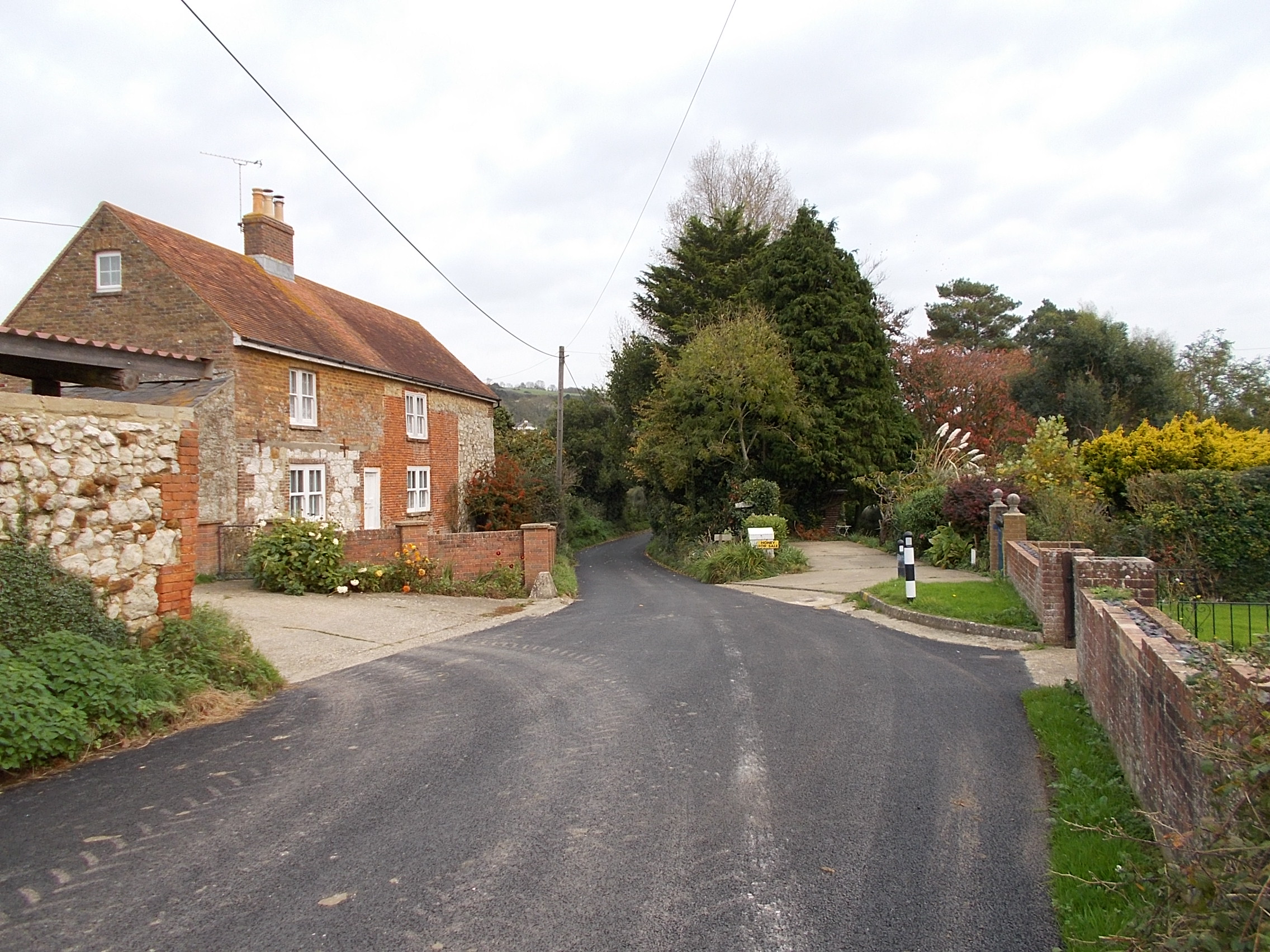
Adgestone is a small village located in the county of Hampshire, in the southern part of England. Situated approximately three miles southeast of Brading, the village is nestled in a picturesque rural setting. Adgestone is known for its tranquil and idyllic atmosphere, making it a popular destination for those seeking a peaceful getaway.

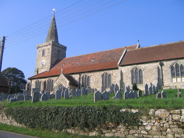
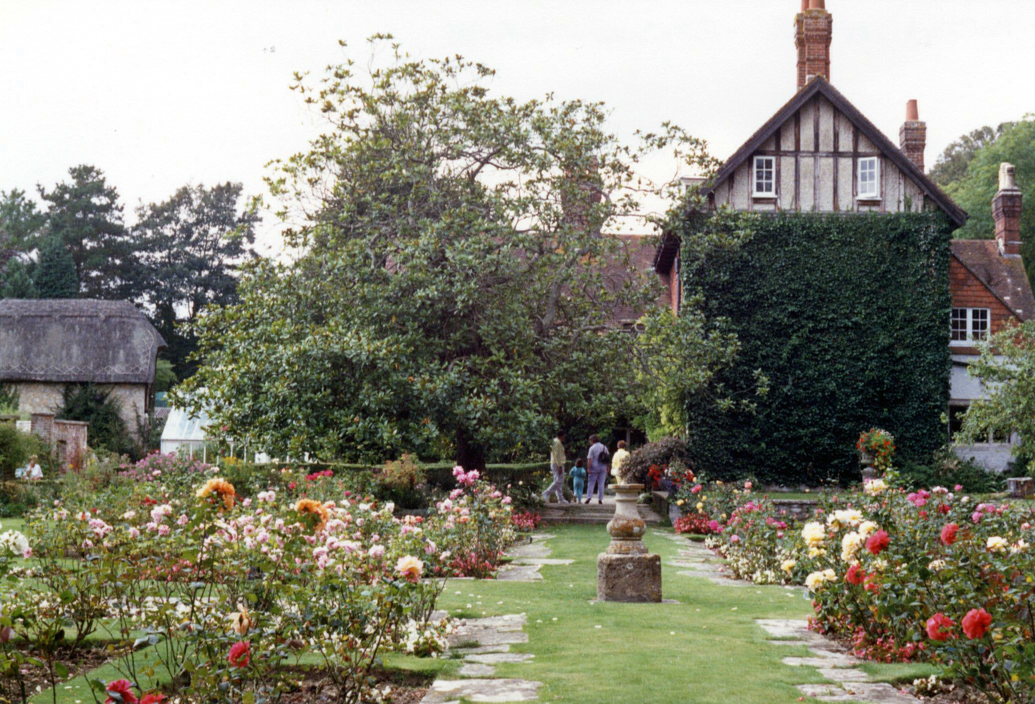
One of the notable features of Adgestone is its historic church, St. Michael and All Angels. Dating back to the 12th century, the church showcases stunning architectural details and serves as a reminder of the village's rich history. Visitors can explore the church's beautiful stained glass windows and intricate stonework, providing a glimpse into the past.

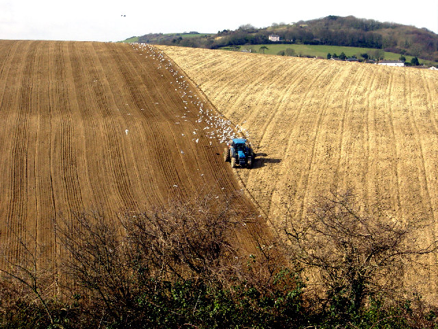
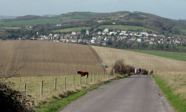
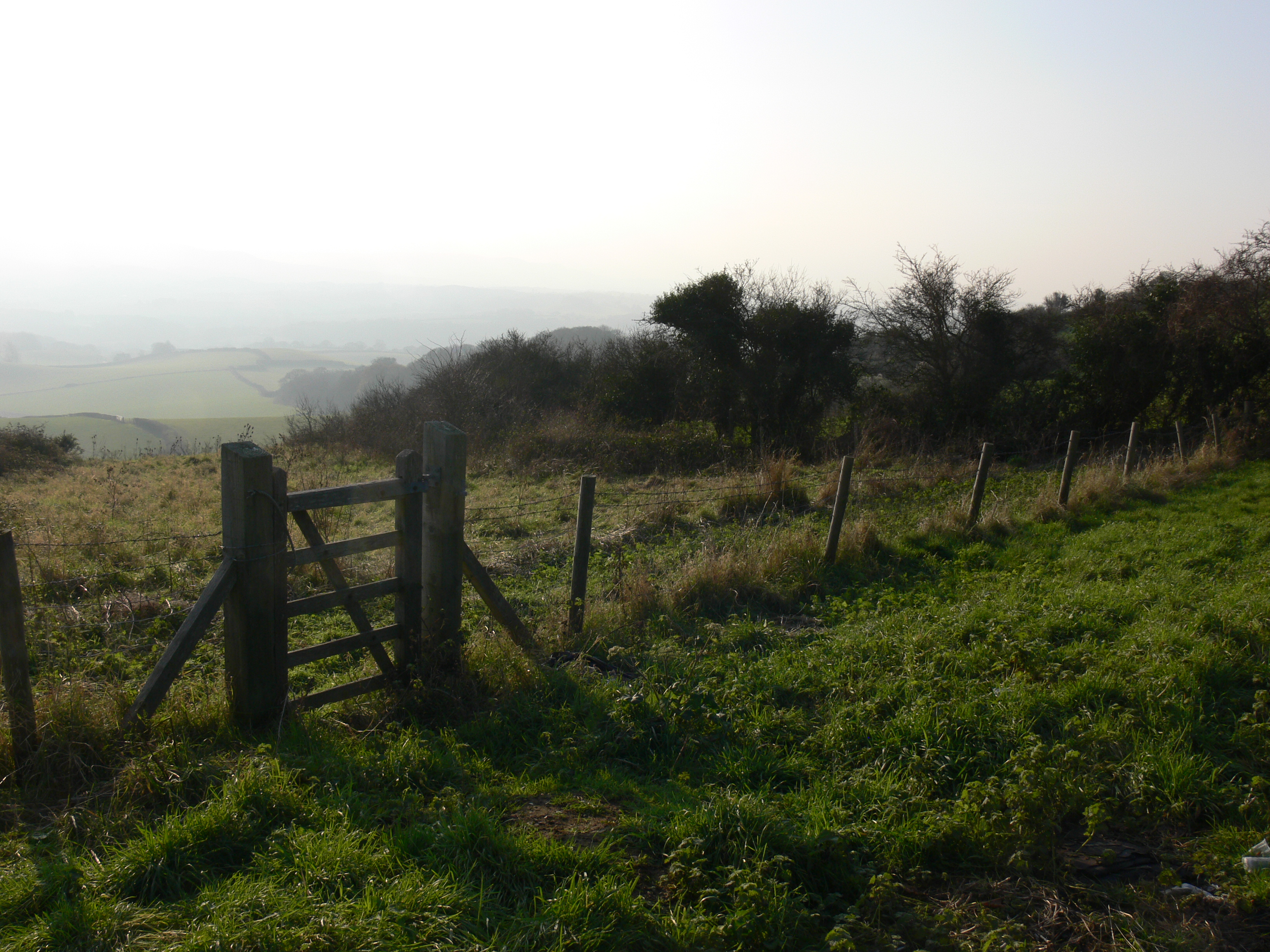
Surrounded by lush green fields and rolling countryside, Adgestone offers ample opportunities for outdoor activities and exploration. The village is known for its scenic walking and cycling routes, allowing visitors to immerse themselves in the natural beauty of the area. Additionally, the nearby Adgestone Vineyard is a popular attraction, offering wine tastings and tours of its vineyards and winery.

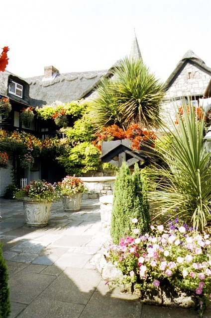
Despite its small size, Adgestone has a close-knit community and a welcoming atmosphere. The village is home to a handful of local amenities, including a village hall and a charming pub, where visitors can enjoy a traditional meal and experience the warm hospitality of the locals.

Overall, Adgestone is a charming village that captures the essence of rural Hampshire. With its rich history, stunning scenery, and friendly community, it is a destination that offers a peaceful retreat for visitors seeking a break from the hustle and bustle of city life.

If you have any feedback on the listing, please let us know in the comments section below.
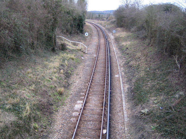
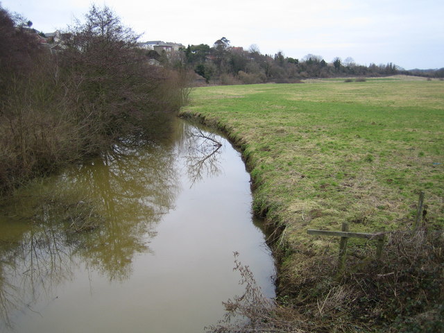
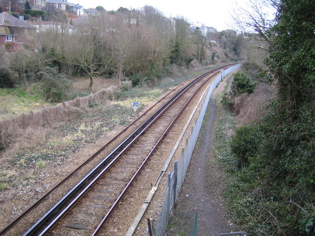
Adgestone Images

Images are sourced within 2km of 50.671473/-1.160504 or Grid Reference SZ5986. Thanks to Geograph Open Source API. All images are credited.

Dinosaur Museum, Sandown The Isle of Wight is famous for its dinosaur finds.
Dinosaur Museum, Sandown
The Isle of Wight is famous for its dinosaur finds.
Ploughing in February near Brading, Isle of Wight This chalk hillside occupies a significant part of the west of this grid square. The hill is a continuation of the west to east chalk ridge that meets the sea at Culver Cliff .  The dip in the foreground is a dry valley. The distant wood at the top right is above Brading, about 2km west north west.  The photograph is taken from the minor single track road to Bembridge fort and Culver Down just above where it joins the B3395.
Ploughing in February near Brading, Isle of Wight
This chalk hillside occupies a significant part of the west of this grid square. The hill is a continuation of the west to east chalk ridge that meets the sea at Culver Cliff . The dip in the foreground is a dry valley. The distant wood at the top right is above Brading, about 2km west north west. The photograph is taken from the minor single track road to Bembridge fort and Culver Down just above where it joins the B3395.
View from Bembridge Down towards Brading This view looks west along the ridge of chalk hills that run east - west across the middle of the Isle of Wight. The ridge is dissected in several places by valleys. In this picture there is a dry valley in the middle foreground. The land drops again, cut by the River Yar, behind the ploughed field.  It rises again to Yarbridge, centre distance, regaining 100m plus on Brading Down, (skyline, centre left).
View from Bembridge Down towards Brading
This view looks west along the ridge of chalk hills that run east - west across the middle of the Isle of Wight. The ridge is dissected in several places by valleys. In this picture there is a dry valley in the middle foreground. The land drops again, cut by the River Yar, behind the ploughed field. It rises again to Yarbridge, centre distance, regaining 100m plus on Brading Down, (skyline, centre left).
Steven Jenkins Rainbow Playground Dinosaur Museum visible behind right arch.
Steven Jenkins Rainbow Playground
Dinosaur Museum visible behind right arch.
Brading Round Reservoir Brading reservoir is now redundant and is sealed up. The metal pole was the support for the signalling arms, used to signal the level of water down to the depot at Sandown.
Brading Round Reservoir
Brading reservoir is now redundant and is sealed up. The metal pole was the support for the signalling arms, used to signal the level of water down to the depot at Sandown.
River Yar The river viewed looking eastwards and downstream from the A3055 Morton Common road bridge as it goes under the Ryde to Shanklin railway bridge.
River Yar
The river viewed looking eastwards and downstream from the A3055 Morton Common road bridge as it goes under the Ryde to Shanklin railway bridge.
Brading Wax Museum
Brading Wax Museum
Ryde to Shanklin railway line near Brading Viewed looking northwards from the Wall Lane overbridge, the railway is operated by Island Line, using former London Underground rolling stock. Their website with timetables and fares is here <span class="nowrap"><a title="http://www.island-line.co.uk/" rel="nofollow ugc noopener" href="http://www.island-line.co.uk/">Link</a><img style="margin-left:2px;" alt="External link" title="External link - shift click to open in new window" src="https://s1.geograph.org.uk/img/external.png" width="10" height="10"/></span>
Ryde to Shanklin railway line near Brading
Viewed looking northwards from the Wall Lane overbridge, the railway is operated by Island Line, using former London Underground rolling stock. Their website with timetables and fares is here LinkExternal link
River Yar Viewed looking northwards and downstream from the B3395 Sandown Road bridge, the roofs of some houses in Brading are just visible over the trees to the left, while the flat flood plain of the river extends out to the right.
River Yar
Viewed looking northwards and downstream from the B3395 Sandown Road bridge, the roofs of some houses in Brading are just visible over the trees to the left, while the flat flood plain of the river extends out to the right.
Ryde to Shanklin railway line near Brading Viewed looking northwards from the B3395 Sandown Road overbridge towards Brading station, the railway is operated by Island Line, using former London Underground rolling stock. Their website with timetables and fares is here <span class="nowrap"><a title="http://www.island-line.co.uk/" rel="nofollow ugc noopener" href="http://www.island-line.co.uk/">Link</a><img style="margin-left:2px;" alt="External link" title="External link - shift click to open in new window" src="https://s1.geograph.org.uk/img/external.png" width="10" height="10"/></span>
Ryde to Shanklin railway line near Brading
Viewed looking northwards from the B3395 Sandown Road overbridge towards Brading station, the railway is operated by Island Line, using former London Underground rolling stock. Their website with timetables and fares is here LinkExternal link
Isle of Wight Zoo, Sandown The tiger is on top of an old defensive battery.
Isle of Wight Zoo, Sandown
The tiger is on top of an old defensive battery.
St Mary's Church, Brading Church of St Mary the Virgin, Brading, IOW.
St Mary's Church, Brading
Church of St Mary the Virgin, Brading, IOW.
Gateway and steps at Morton Manor
Sea front at Sandown With a nip in the air, the breeze flapping the deck chairs and dogs on the beach, this is very much an end-of-season view. Bembridge Down and Culver Cliff on the horizon.
Sea front at Sandown
With a nip in the air, the breeze flapping the deck chairs and dogs on the beach, this is very much an end-of-season view. Bembridge Down and Culver Cliff on the horizon.
Sandown Beach Ventnor can be seen in the distance.
Sandown Beach
Ventnor can be seen in the distance.
Crazy Golf Course, Sandown
Sandown Beach Culver Cliff is in the background.
Sandown Beach
Culver Cliff is in the background.
Waxwork Museum, Brading.
Show me another place!

Adgestone is located at Grid Ref: SZ5986 (Lat: 50.671473, Lng: -1.160504)

Unitary Authority: Isle of Wight

Police Authority: Hampshire

What 3 Words

///taller.engage.soda. Near Brading, Isle of Wight

Related Wikis

Adgestone

Adgestone is a small hamlet on the Isle of Wight. It is located close to Brading (where the 2011 Census was included) in the east of the island. There...

Brading Roman Villa

Brading Roman Villa was a Roman courtyard villa which has been excavated and put on public display in Brading on the Isle of Wight. == Discovery and... ==

Brading Down

Brading Down is a chalk down southwest of Brading, Isle of Wight. It is a prominent hill which overlooks Sandown Bay, with views across the bay towards...

Morton, Isle of Wight

On the Isle of Wight, Morton is the area of Brading where Morton Marshes and the River Yar form a boundary to the extension of housing estates from Sandown...

Morton Manor

Morton Manor (also La Morton or Mourton in the 13th century) is a manor house originating in the 13th century, in Brading, Isle of Wight, England. It is...

Yarbridge

Yarbridge is a hamlet on the Isle of Wight, England. It is at the southern tip of the parish of Brading (where the 2011 census population was listed)....

Nunwell

Nunwell is the location of Nunwell House, near Brading on the Isle of Wight, which was the home of the Oglander family for many centuries. It is in the...

Sandown Bay Academy

Sandown Bay Academy, formerly Sandown High School, was an academy status secondary school located in Sandown on the Isle of Wight, England. From 2012 to...

Nearby Amenities

Located within 500m of 50.671473,-1.160504
Source: Locally rectified NPE map
Lat/Long: 50.6717319/-1.1550013
Adgestone
Place: hamlet
Source: NPE
Wikidata: Q3303808
Wikipedia: en:Adgestone
Lat/Long: 50.6721932/-1.1627055
Post Box
Check Date: 2016-05-08
Collection Plate: CP7
Collection Times: Mo-Fr 14:45; Sa 11:00
Operator: Royal Mail
Operator Wikidata: Q638098
Post Box Type: lamp
Ref: PO36 94
Ref GB Uprn: 10015336247
Royal Cypher: EIIR
Royal Cypher Wikidata: Q33102113
Website: https://www.royalmail.com/services-near-you/postbox/grove-farm-po36-0aa/0000PO3694
Lat/Long: 50.671774/-1.1627542
Source: Bing
Lat/Long: 50.6747183/-1.155651
Source: Bing
Lat/Long: 50.6723624/-1.1594145
Barrier: stile
Lat/Long: 50.6686859/-1.1577559
Source: Bing
Lat/Long: 50.6755348/-1.1579599
Source: Bing
Lat/Long: 50.6726398/-1.1595144
Source: Bing
Lat/Long: 50.6727961/-1.159552
Barrier: stile
Source: Bing
Lat/Long: 50.6746423/-1.1555809
Barrier: stile
Source: Bing
Lat/Long: 50.6746603/-1.1556428
Milestone
Condition: bad
Distance Sea: 6 mi
Distance Source: 13 mi
Tourism: information
Lat/Long: 50.6720127/-1.1617247
Hiking: yes
Information: guidepost
Tourism: information
Lat/Long: 50.6746257/-1.1555305
Cafe
Cabin Café
Addr City: Adgestone
Addr Country: GB
Addr Postcode: PO36 0ES
Addr Street: Upper Road
Contact Phone: +44 1983 402 882
Contact Twitter: @AdgestoneVines
Contact Website: http://www.adgestonevineyard.co.uk/index.php/cafe-shop
Operator: Adgestone Vineyard
Shop: farm;wine
Source: Bing
Source Addr: FHRS Open Data
Source Data: survey
Lat/Long: 50.6754199/-1.1580102
Hiking: yes
Information: guidepost
Tourism: information
Lat/Long: 50.6726471/-1.1596028
Craft: beekeeper
Lat/Long: 50.673174/-1.1578023
Power: pole
Lat/Long: 50.6720902/-1.1547127
Power: pole
Lat/Long: 50.6720238/-1.1537986
The data included in this document is from www.openstreetmap.org. The data is made available under ODbL.

Have you been to Adgestone?

Leave your review of Adgestone below (or comments, questions and feedback).