Brading Down

Downs, Moorland in Hampshire

England

Brading Down

Ploughing in February near Brading, Isle of Wight This chalk hillside occupies a significant part of the west of this grid square. The hill is a continuation of the west to east chalk ridge that meets the sea at Culver Cliff .  The dip in the foreground is a dry valley. The distant wood at the top right is above Brading, about 2km west north west.  The photograph is taken from the minor single track road to Bembridge fort and Culver Down just above where it joins the B3395.
Ploughing in February near Brading, Isle of Wight Credit: Crispin Purdye

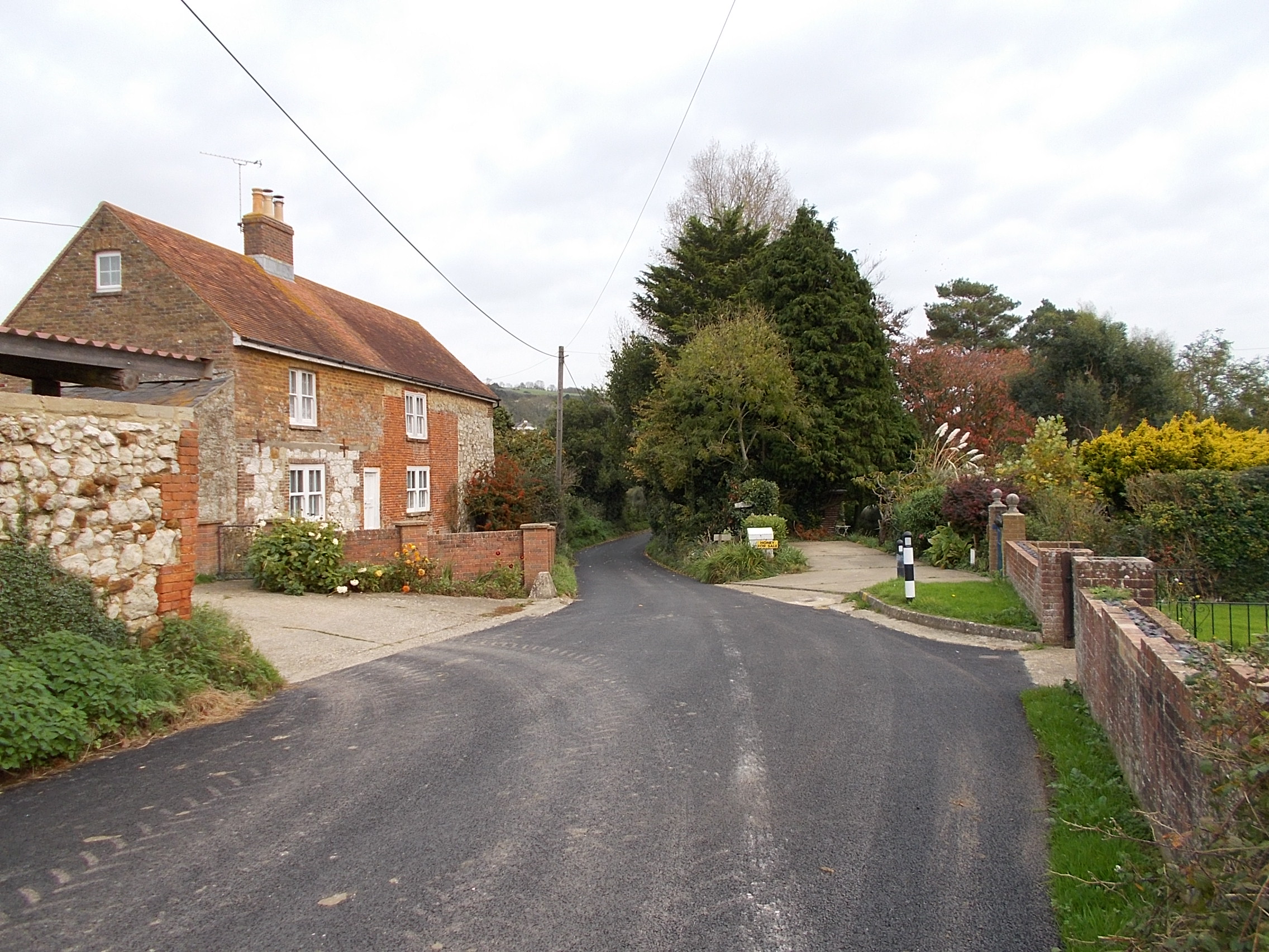
Brading Down, located in Hampshire, England, is a picturesque area known for its stunning Downs and Moorland landscapes. Spanning approximately 200 acres, it offers a diverse range of natural features that attract visitors from near and far.

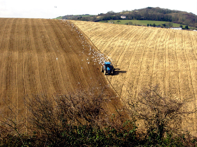
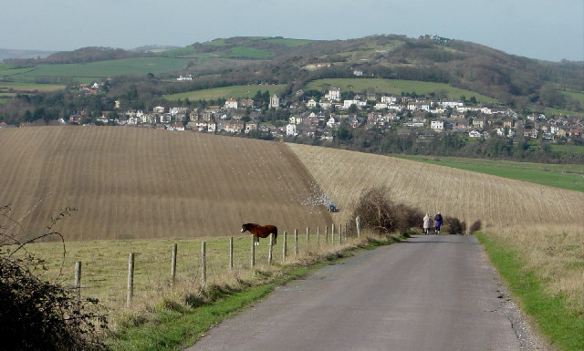
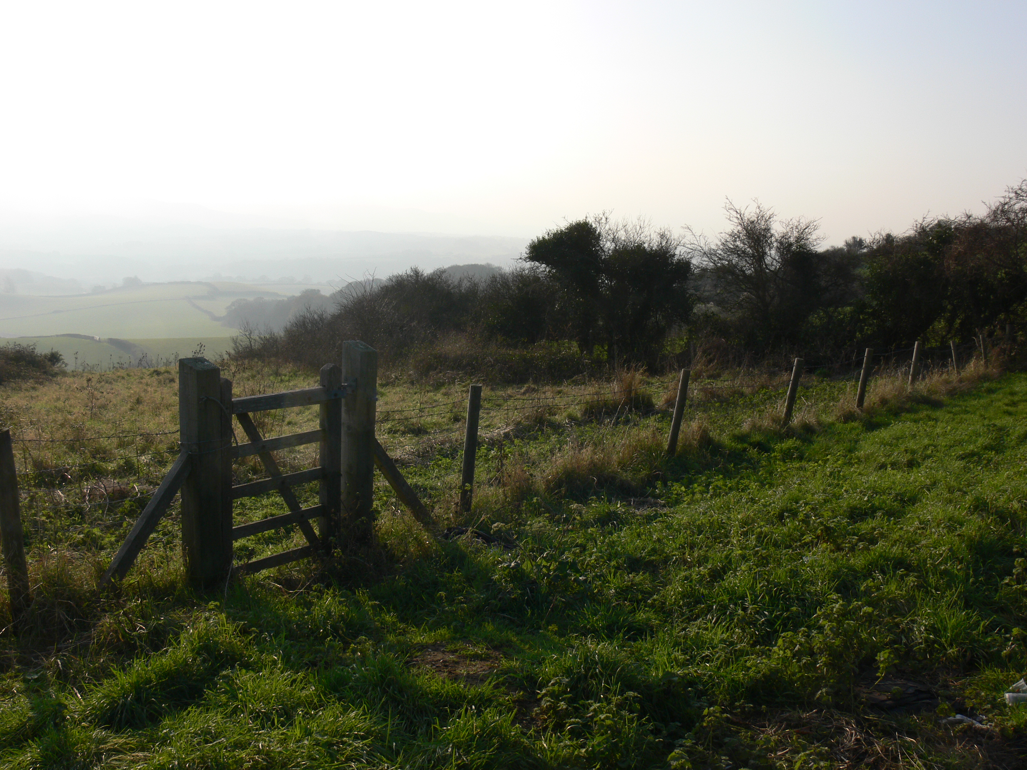
The Downs at Brading Down are characterized by rolling hills and expansive grassland, providing a tranquil and scenic environment. Visitors can enjoy long walks or hikes along the well-maintained trails, taking in panoramic views of the surrounding countryside. The area is abundant with wildlife, making it a haven for nature enthusiasts and birdwatchers. It is not uncommon to spot various species of birds, including kestrels, skylarks, and pheasants.

In addition to the Downs, Brading Down also boasts Moorland areas, adding a unique charm to the landscape. Moorland is characterized by its heather-covered hills and rocky outcrops, offering a contrasting scenery to the lush grassland of the Downs. This variety in terrain makes Brading Down an ideal destination for those seeking diverse outdoor experiences.

Brading Down is also steeped in history, with evidence of human settlement dating back to the Bronze Age. The area is home to ancient burial mounds, known as barrows, which provide insight into the lives and rituals of early inhabitants. Visitors can explore these archaeological sites, gaining a deeper understanding of the rich heritage of the region.

Overall, Brading Down in Hampshire offers a unique blend of natural beauty, wildlife, and historical significance. Whether one seeks a peaceful retreat in nature, an opportunity to observe wildlife, or a chance to delve into the past, this area has something to offer for everyone.

If you have any feedback on the listing, please let us know in the comments section below.
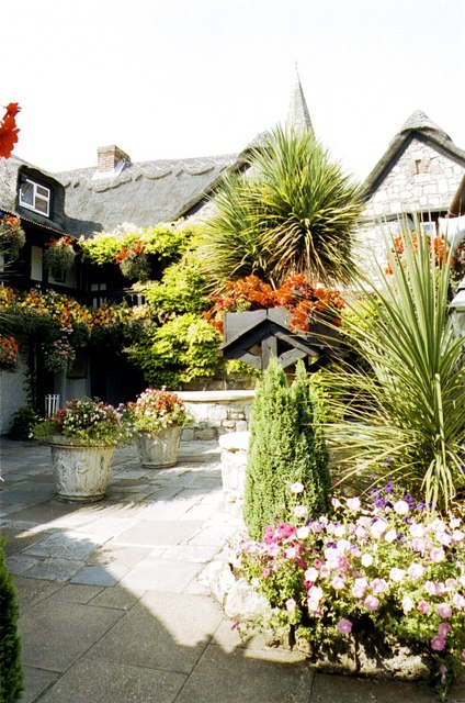
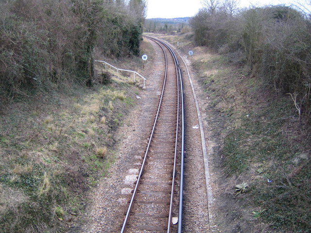
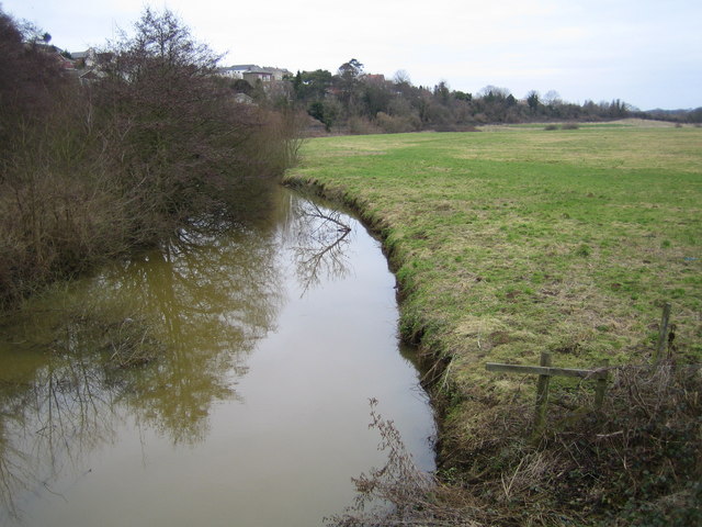
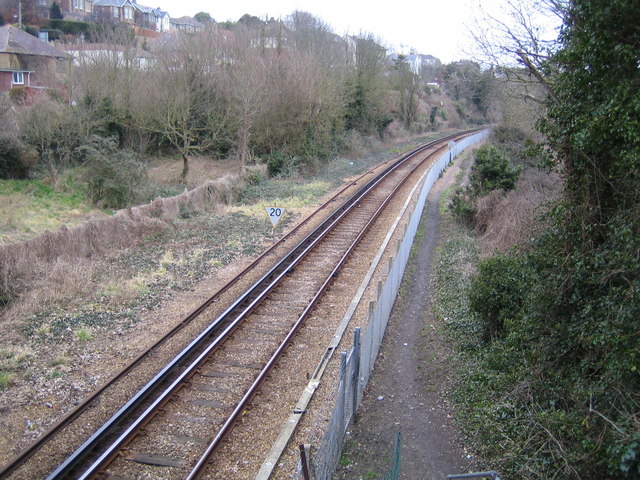
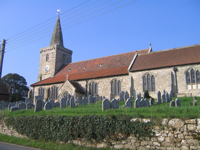
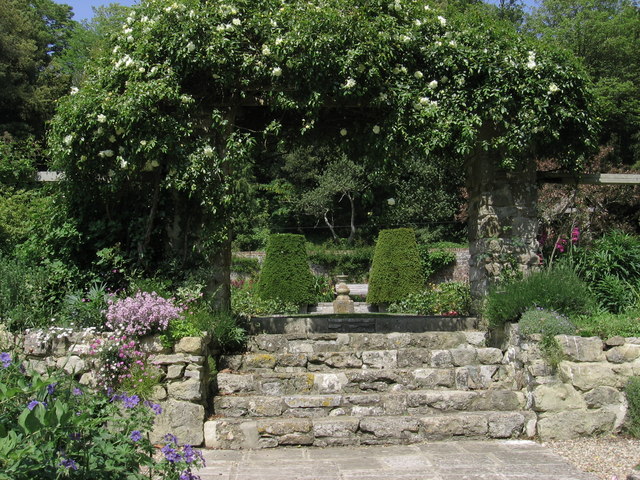
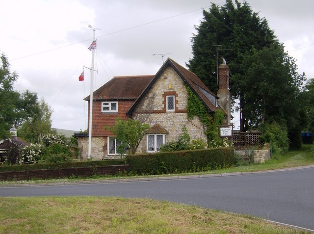
Brading Down Images

Images are sourced within 2km of 50.678427/-1.1575313 or Grid Reference SZ5986. Thanks to Geograph Open Source API. All images are credited.

Ploughing in February near Brading, Isle of Wight This chalk hillside occupies a significant part of the west of this grid square. The hill is a continuation of the west to east chalk ridge that meets the sea at Culver Cliff .  The dip in the foreground is a dry valley. The distant wood at the top right is above Brading, about 2km west north west.  The photograph is taken from the minor single track road to Bembridge fort and Culver Down just above where it joins the B3395.
Ploughing in February near Brading, Isle of Wight
This chalk hillside occupies a significant part of the west of this grid square. The hill is a continuation of the west to east chalk ridge that meets the sea at Culver Cliff . The dip in the foreground is a dry valley. The distant wood at the top right is above Brading, about 2km west north west. The photograph is taken from the minor single track road to Bembridge fort and Culver Down just above where it joins the B3395.
View from Bembridge Down towards Brading This view looks west along the ridge of chalk hills that run east - west across the middle of the Isle of Wight. The ridge is dissected in several places by valleys. In this picture there is a dry valley in the middle foreground. The land drops again, cut by the River Yar, behind the ploughed field.  It rises again to Yarbridge, centre distance, regaining 100m plus on Brading Down, (skyline, centre left).
View from Bembridge Down towards Brading
This view looks west along the ridge of chalk hills that run east - west across the middle of the Isle of Wight. The ridge is dissected in several places by valleys. In this picture there is a dry valley in the middle foreground. The land drops again, cut by the River Yar, behind the ploughed field. It rises again to Yarbridge, centre distance, regaining 100m plus on Brading Down, (skyline, centre left).
Brading Round Reservoir Brading reservoir is now redundant and is sealed up. The metal pole was the support for the signalling arms, used to signal the level of water down to the depot at Sandown.
Brading Round Reservoir
Brading reservoir is now redundant and is sealed up. The metal pole was the support for the signalling arms, used to signal the level of water down to the depot at Sandown.
River Yar Viewed looking north eastwards and downstream from the footbridge on the Yar River Trail.
River Yar
Viewed looking north eastwards and downstream from the footbridge on the Yar River Trail.
River Yar The river viewed looking eastwards and downstream from the A3055 Morton Common road bridge as it goes under the Ryde to Shanklin railway bridge.
River Yar
The river viewed looking eastwards and downstream from the A3055 Morton Common road bridge as it goes under the Ryde to Shanklin railway bridge.
Brading Wax Museum
Brading Wax Museum
Ryde to Shanklin railway line near Brading Viewed looking northwards from the Wall Lane overbridge, the railway is operated by Island Line, using former London Underground rolling stock. Their website with timetables and fares is here <span class="nowrap"><a title="http://www.island-line.co.uk/" rel="nofollow ugc noopener" href="http://www.island-line.co.uk/">Link</a><img style="margin-left:2px;" alt="External link" title="External link - shift click to open in new window" src="https://s1.geograph.org.uk/img/external.png" width="10" height="10"/></span>
Ryde to Shanklin railway line near Brading
Viewed looking northwards from the Wall Lane overbridge, the railway is operated by Island Line, using former London Underground rolling stock. Their website with timetables and fares is here LinkExternal link
River Yar Viewed looking northwards and downstream from the B3395 Sandown Road bridge, the roofs of some houses in Brading are just visible over the trees to the left, while the flat flood plain of the river extends out to the right.
River Yar
Viewed looking northwards and downstream from the B3395 Sandown Road bridge, the roofs of some houses in Brading are just visible over the trees to the left, while the flat flood plain of the river extends out to the right.
Ryde to Shanklin railway line near Brading Viewed looking northwards from the B3395 Sandown Road overbridge towards Brading station, the railway is operated by Island Line, using former London Underground rolling stock. Their website with timetables and fares is here <span class="nowrap"><a title="http://www.island-line.co.uk/" rel="nofollow ugc noopener" href="http://www.island-line.co.uk/">Link</a><img style="margin-left:2px;" alt="External link" title="External link - shift click to open in new window" src="https://s1.geograph.org.uk/img/external.png" width="10" height="10"/></span>
Ryde to Shanklin railway line near Brading
Viewed looking northwards from the B3395 Sandown Road overbridge towards Brading station, the railway is operated by Island Line, using former London Underground rolling stock. Their website with timetables and fares is here LinkExternal link
St Mary's Church, Brading Church of St Mary the Virgin, Brading, IOW.
St Mary's Church, Brading
Church of St Mary the Virgin, Brading, IOW.
Gateway and steps at Morton Manor
Shanklin to Ryde railway The A3055 crosses over the Shanklin to Ryde railway on a skew bridge at Ricket's Hill.  This is the only remaining line on the island, apart from the preserved Isle of Wight steam railway.  It is now mostly single track as can be seen here heading north-west across the square.
Shanklin to Ryde railway
The A3055 crosses over the Shanklin to Ryde railway on a skew bridge at Ricket's Hill. This is the only remaining line on the island, apart from the preserved Isle of Wight steam railway. It is now mostly single track as can be seen here heading north-west across the square.
Rowborough Corner Cottage The road to the left is the B3330 towards St. Helen's and Bembridge.  To the right is the A3055.  Traffic lights here with queues in all directions cannot make this cottage a peaceful place to live.  The union flag and a red ensign (merchant ship) are being flown.
Rowborough Corner Cottage
The road to the left is the B3330 towards St. Helen's and Bembridge. To the right is the A3055. Traffic lights here with queues in all directions cannot make this cottage a peaceful place to live. The union flag and a red ensign (merchant ship) are being flown.
Byway towards A3055 Looking east, this byway skirts Ricket's Hill (green field to the right) then descends from near Hardingshute towards the A3055 Ryde to Brading road.  The railway is in the dip beyond the brown field.
Byway towards A3055
Looking east, this byway skirts Ricket's Hill (green field to the right) then descends from near Hardingshute towards the A3055 Ryde to Brading road. The railway is in the dip beyond the brown field.
Old railway line near Brading This is the line from Brading to St. Helen's where it crosses Brading Marsh.  The 1:25K map shows this as a permissive cyclepath.
Old railway line near Brading
This is the line from Brading to St. Helen's where it crosses Brading Marsh. The 1:25K map shows this as a permissive cyclepath.
Dyke on Brading Marsh Looking north-west the character of the marsh to the east of Brading (in the left middle distance) can be best seen here.
Dyke on Brading Marsh
Looking north-west the character of the marsh to the east of Brading (in the left middle distance) can be best seen here.
River Yar Looking north-east, this is the river as it flows through Brading Marsh.  Little has changed in the 16 months since Nigel Cox's picture, except the swan (possibly the same one) has moved.
River Yar
Looking north-east, this is the river as it flows through Brading Marsh. Little has changed in the 16 months since Nigel Cox's picture, except the swan (possibly the same one) has moved.
Entering Brading Marsh nature reserve Across the southern arm of the River Yar, the footpath (part of the River Yar trail) re-enters Brading Marsh nature reserve.
Entering Brading Marsh nature reserve
Across the southern arm of the River Yar, the footpath (part of the River Yar trail) re-enters Brading Marsh nature reserve.
Show me another place!

Brading Down is located at Grid Ref: SZ5986 (Lat: 50.678427, Lng: -1.1575313)

Unitary Authority: Isle of Wight

Police Authority: Hampshire

What 3 Words

///broadens.buckling.revamping. Near Brading, Isle of Wight

Related Wikis

Brading Down

Brading Down is a chalk down southwest of Brading, Isle of Wight. It is a prominent hill which overlooks Sandown Bay, with views across the bay towards...

Adgestone

Adgestone is a small hamlet on the Isle of Wight. It is located close to Brading (where the 2011 Census was included) in the east of the island. There...

Nunwell

Nunwell is the location of Nunwell House, near Brading on the Isle of Wight, which was the home of the Oglander family for many centuries. It is in the...

Brading Roman Villa

Brading Roman Villa was a Roman courtyard villa which has been excavated and put on public display in Brading on the Isle of Wight. == Discovery and... ==

Nearby Amenities

Located within 500m of 50.678427,-1.1575313
Source: Bing
Lat/Long: 50.67594/-1.155638
Parking
Access: yes
Parking: surface
Lat/Long: 50.677903/-1.1526611
Source: Locally rectified NPE map
Lat/Long: 50.679652/-1.1519339
Source: Locally rectified NPE map
Lat/Long: 50.6788722/-1.1573282
Source: Locally rectified NPE map
Lat/Long: 50.6782876/-1.1573528
Source: Locally rectified NPE map
Lat/Long: 50.6774611/-1.1566337
Source: Locally rectified NPE map
Lat/Long: 50.6758183/-1.157655
Source: Locally rectified NPE map
Lat/Long: 50.6758135/-1.1520308
Source: Bing
Lat/Long: 50.6747183/-1.155651
Barrier: stile
Source: Bing
Lat/Long: 50.6756846/-1.1547284
Source: Locally rectified NPE map
Lat/Long: 50.6795296/-1.151962
Source: Bing
Lat/Long: 50.6755348/-1.1579599
Bench
Lat/Long: 50.678839/-1.1573741
Historic: memorial
Lat/Long: 50.6800453/-1.1544647
Noexit: yes
Lat/Long: 50.6791294/-1.157449
Parking
Access: yes
Parking: surface
Lat/Long: 50.6793888/-1.1595118
Parking
Lat/Long: 50.6791132/-1.157355
Parking
Access: yes
Parking: surface
Lat/Long: 50.6787818/-1.1554291
Barrier: stile
Source: Bing
Lat/Long: 50.6746423/-1.1555809
Barrier: stile
Source: Bing
Lat/Long: 50.6746603/-1.1556428
Barrier: kissing_gate
Lat/Long: 50.6793403/-1.1599761
Barrier: kissing_gate
Lat/Long: 50.678739/-1.1561293
Bench
Lat/Long: 50.6792416/-1.1635302
Brading Down
Place: locality
Wikidata: Q4954815
Wikipedia: en:Brading Down
Lat/Long: 50.6781494/-1.154091
Nunwell Down
Place: locality
Lat/Long: 50.6805288/-1.1630818
Noexit: yes
Lat/Long: 50.6758758/-1.1547273
Noexit: yes
Lat/Long: 50.6758069/-1.154756
Noexit: yes
Lat/Long: 50.6757423/-1.1547842
Hiking: yes
Information: guidepost
Tourism: information
Lat/Long: 50.6746257/-1.1555305
Cafe
Cabin Café
Addr City: Adgestone
Addr Country: GB
Addr Postcode: PO36 0ES
Addr Street: Upper Road
Contact Phone: +44 1983 402 882
Contact Twitter: @AdgestoneVines
Contact Website: http://www.adgestonevineyard.co.uk/index.php/cafe-shop
Operator: Adgestone Vineyard
Shop: farm;wine
Source: Bing
Source Addr: FHRS Open Data
Source Data: survey
Lat/Long: 50.6754199/-1.1580102
Addr Housename: Plum Cottage
Addr Housenumber: 5
Addr Street: Upper Road
Lat/Long: 50.675902/-1.1554018
Addr Housename: Chinon
Addr Housenumber: 6
Addr Street: Upper Road
Lat/Long: 50.6758924/-1.1554816
Hiking: yes
Information: guidepost
Tourism: information
Lat/Long: 50.6760726/-1.1546266
Hiking: yes
Information: guidepost
Tourism: information
Lat/Long: 50.6763173/-1.1534484
Hiking: yes
Information: guidepost
Tourism: information
Lat/Long: 50.6763454/-1.1518418
The data included in this document is from www.openstreetmap.org. The data is made available under ODbL.

Have you been to Brading Down?

Leave your review of Brading Down below (or comments, questions and feedback).