Adlestrop
Settlement in Gloucestershire Cotswold
England
Adlestrop
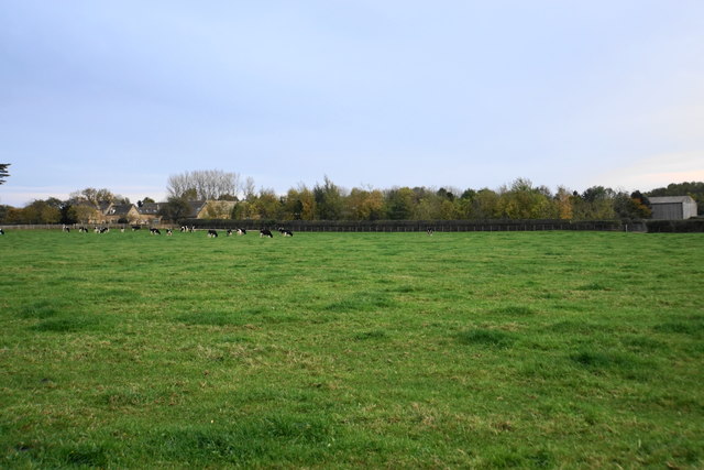
Adlestrop is a picturesque village located in the county of Gloucestershire, England. Situated in the heart of the Cotswolds, it is surrounded by stunning rolling hills and idyllic countryside landscapes. With a population of around 300 people, the village maintains a close-knit and welcoming community.
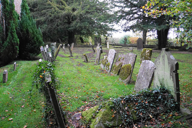
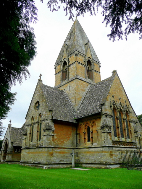
The history of Adlestrop dates back to medieval times, and evidence of its rich heritage can still be seen in the quaint architecture and charming stone cottages that line its streets. One of the village's notable landmarks is the 12th-century St. Mary Magdalene Church, which stands proudly at the center of Adlestrop.
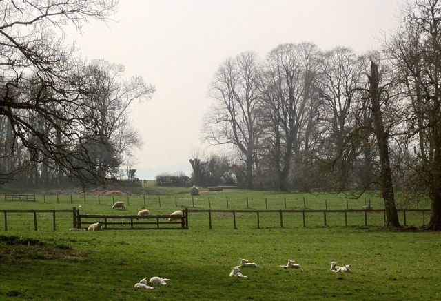
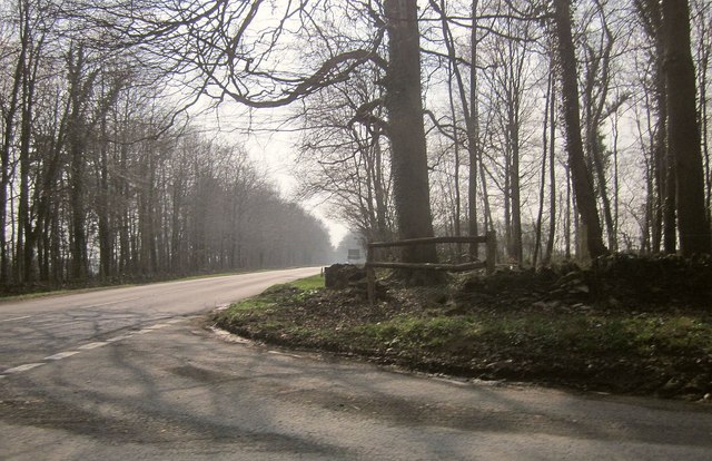
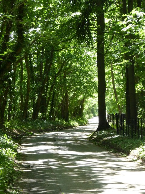
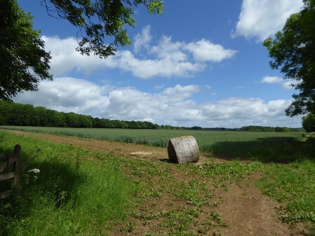
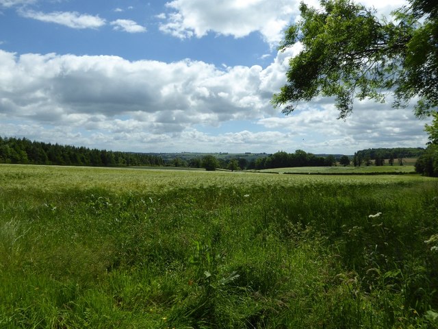
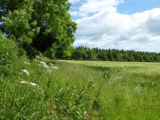
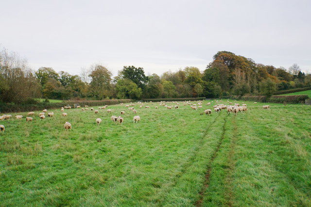
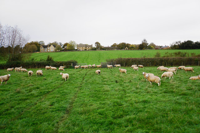
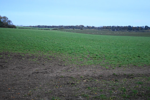
The village is renowned for its natural beauty, and visitors often come to admire the picturesque scenery and enjoy leisurely walks along the nearby footpaths. The surrounding countryside offers a wealth of opportunities for outdoor activities such as hiking, cycling, and horse riding.
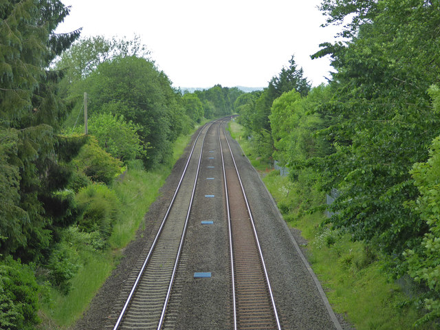
Adlestrop is also famous for its literary connections. It was immortalized in a poem by Edward Thomas, titled "Adlestrop," which describes the poet's experience of a train stopping unexpectedly at the village's railway station. This poem has become a beloved piece of English literature, and many visitors are drawn to Adlestrop to experience the place that inspired such evocative writing.
In terms of amenities, Adlestrop has a charming village pub, The Fox Inn, where locals and visitors alike can enjoy a pint of local ale and traditional British fare. There are also several bed and breakfast establishments, offering a peaceful and relaxing retreat for those looking to stay overnight.
Overall, Adlestrop is a truly enchanting village, offering a perfect blend of natural beauty, historical charm, and literary significance.
If you have any feedback on the listing, please let us know in the comments section below.
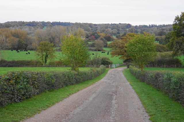
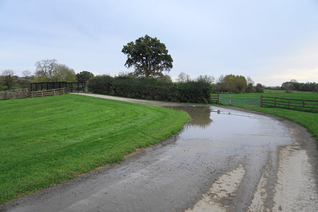
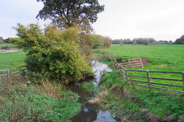
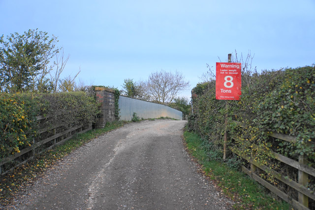
Adlestrop Images
Images are sourced within 2km of 51.941221/-1.647267 or Grid Reference SP2427. Thanks to Geograph Open Source API. All images are credited.
Adlestrop is located at Grid Ref: SP2427 (Lat: 51.941221, Lng: -1.647267)
Administrative County: Gloucestershire
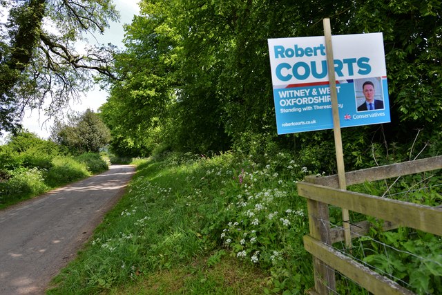
District: Cotswold
Police Authority: Gloucestershire
What 3 Words
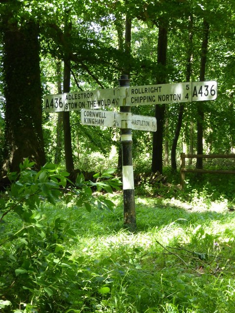
///drop.abode.districts. Near Donnington, Gloucestershire
Nearby Locations
Related Wikis

Adlestrop
Adlestrop () is a village and civil parish in the Cotswolds, 3 miles (5 km) east of Stow-on-the-Wold, Gloucestershire, England, on the county boundary...
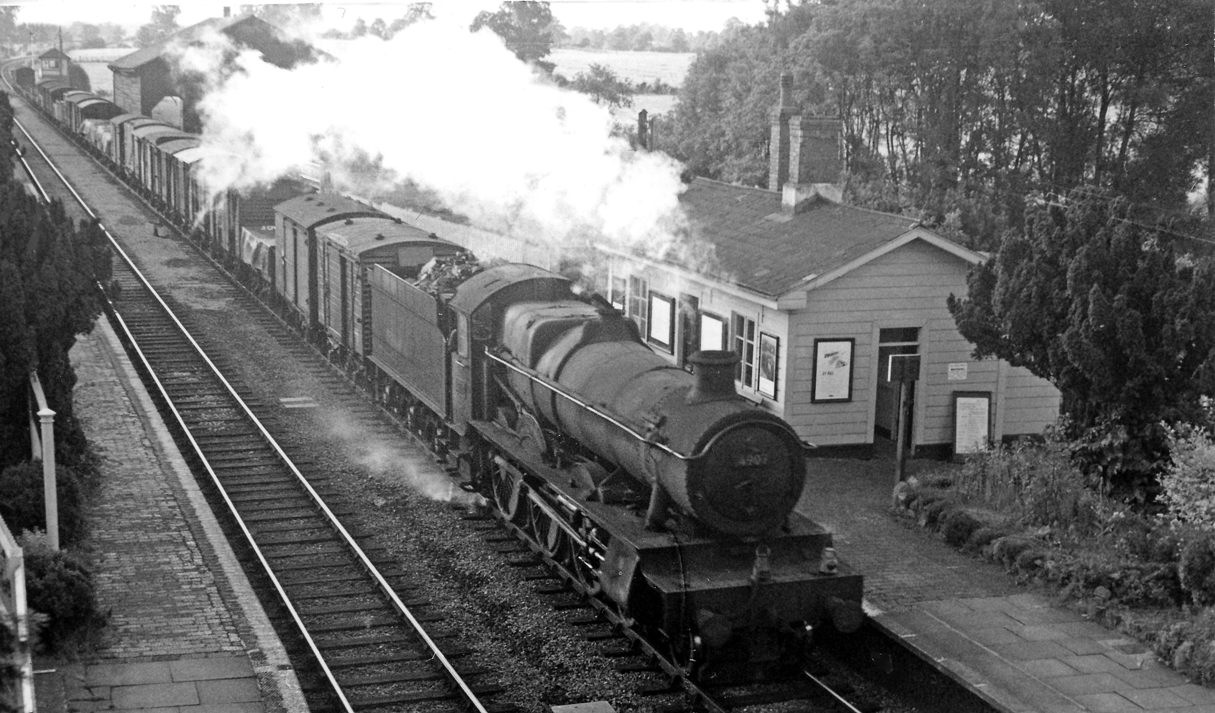
Adlestrop railway station
Adlestrop railway station was a railway station which served the village of Adlestrop in Gloucestershire, England, between 1853 and 1966. It was on what...

Daylesford, Gloucestershire
Daylesford is a small, privately owned village and former civil parish, now in the parish of Adlestrop, in the Cotswold district, in the county of Gloucestershire...
Church of St Peter, Daylesford
The Anglican Church of St Peter at Daylesford in the Cotswold District of Gloucestershire, England was rebuilt in 1860. It is a grade I listed building...

Daylesford House
Daylesford House is a Georgian country house near Daylesford, Gloucestershire, England, on the north bank of the River Evenlode near the border with Oxfordshire...
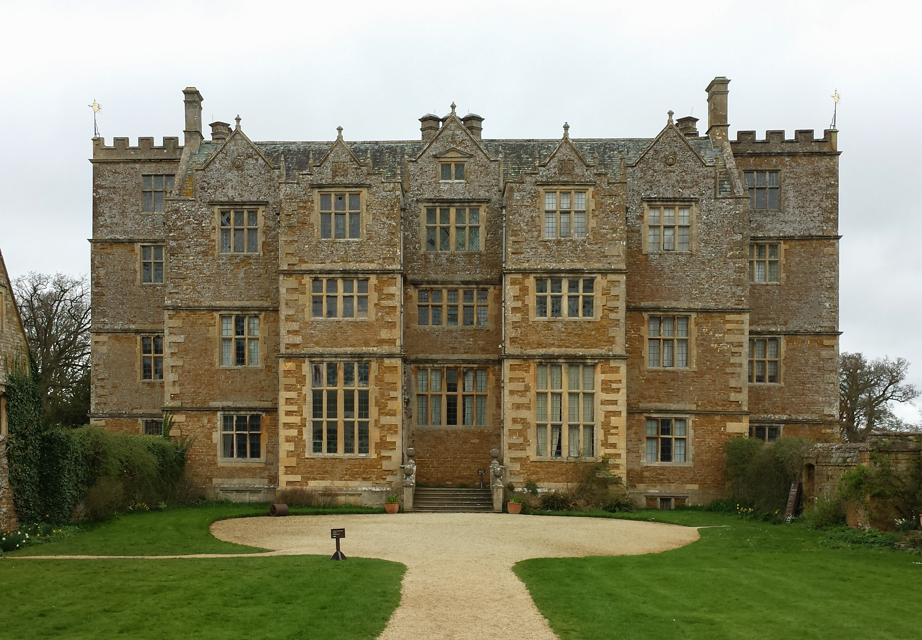
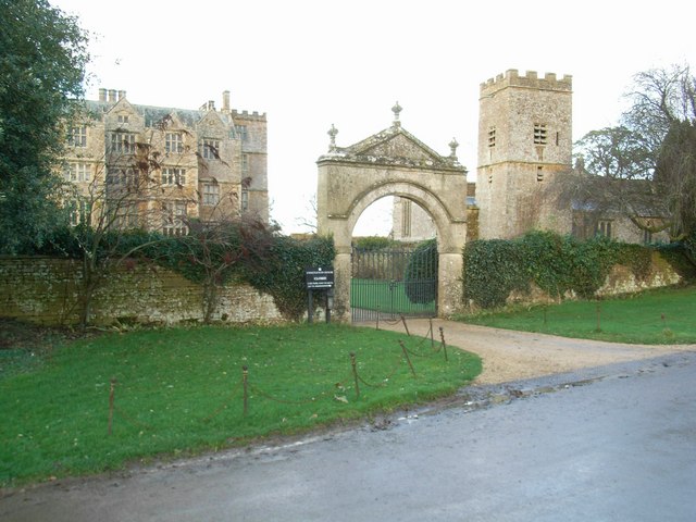
Chastleton House
Chastleton House () is a Jacobean country house at Chastleton, Oxfordshire, England, close to Moreton-in-Marsh (grid reference SP2429). It has been owned...
Chastleton
Chastleton is a village and civil parish in the Cotswold Hills in Oxfordshire, England, about 4 miles (6.4 km) northeast of Stow-on-the-Wold. Chastleton...
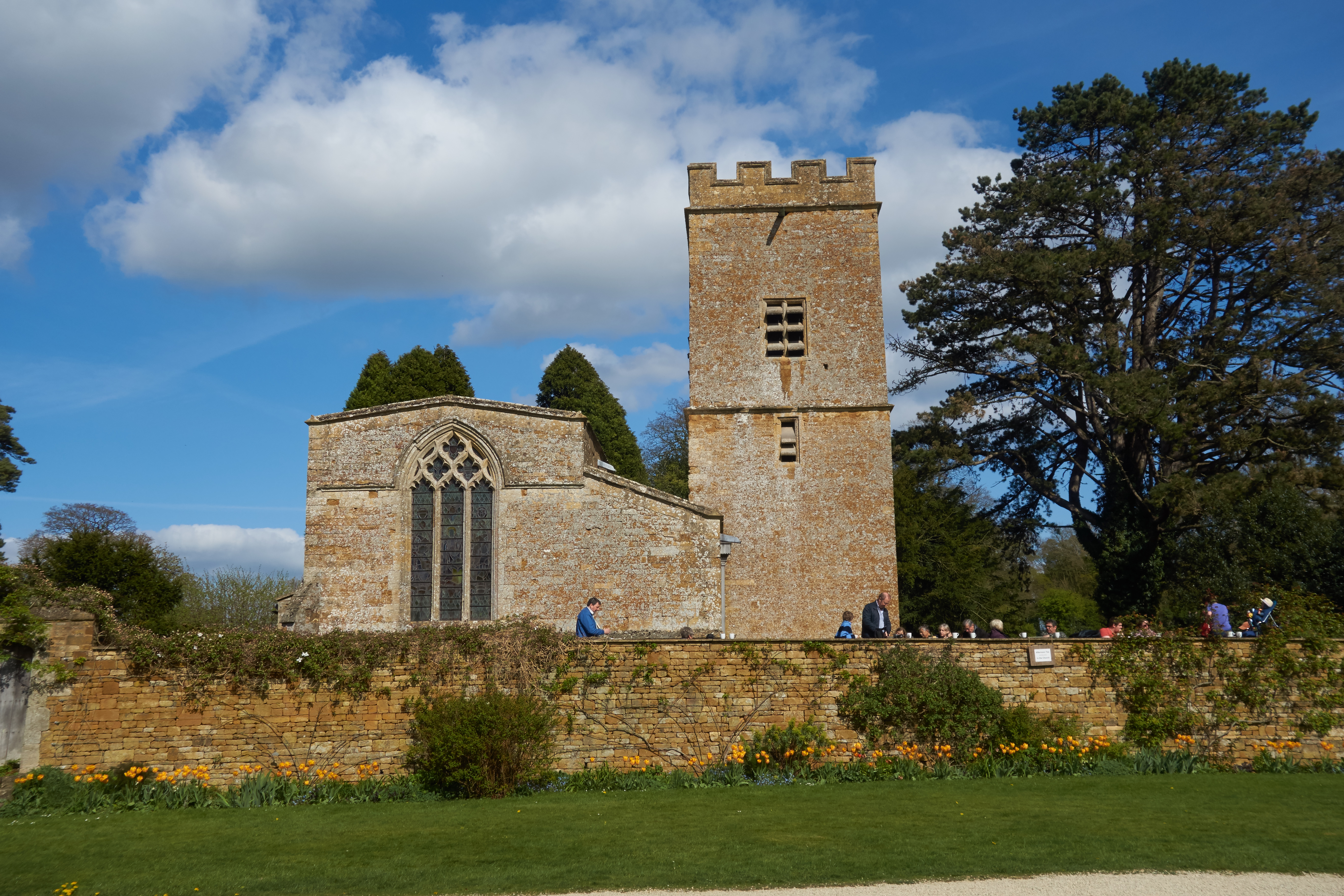
St Mary's Church, Chastleton
The Church of St Mary the Virgin is the Church of England parish church of Chastleton, Oxfordshire, England. It is a parish church in the parish of Little...
Nearby Amenities
Located within 500m of 51.941221,-1.647267Have you been to Adlestrop?
Leave your review of Adlestrop below (or comments, questions and feedback).