Adlestrop
Civil Parish in Gloucestershire Cotswold
England
Adlestrop
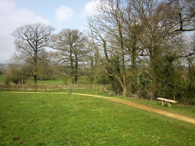
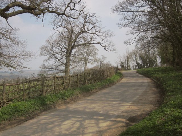
Adlestrop is a civil parish located in the county of Gloucestershire, England. Situated in the heart of the Cotswolds, this picturesque village is known for its idyllic charm and tranquil surroundings. The parish is nestled in the Evenlode Valley, surrounded by rolling hills and lush green countryside, creating a stunning backdrop for residents and visitors alike.
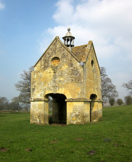
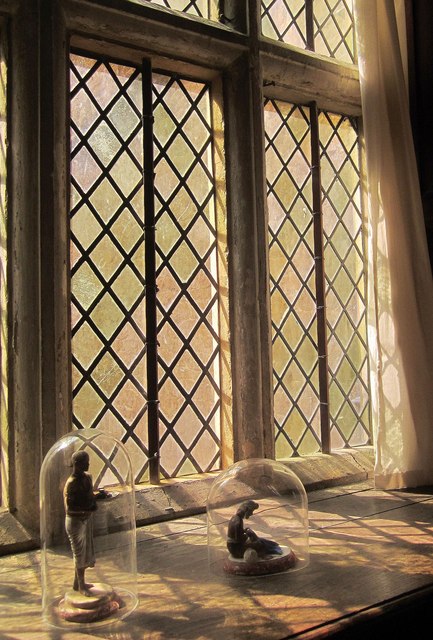
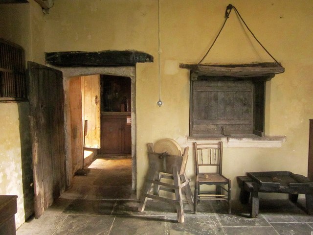
The village itself is small and intimate, with a population of around 150 people. It exudes a sense of timeless beauty, with its historic stone buildings and thatched cottages, many of which date back to the 17th and 18th centuries.
Adlestrop is perhaps most famous for its connection to literature. The poet Edward Thomas immortalized the village in his poem "Adlestrop," which describes an unexpected stop at the train station and the peacefulness of the scene. A plaque commemorating the poem can be found at the site of the former Adlestrop railway station.
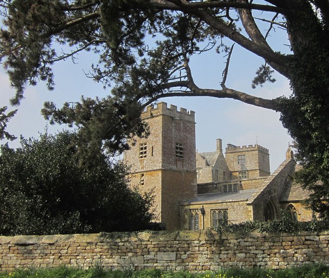
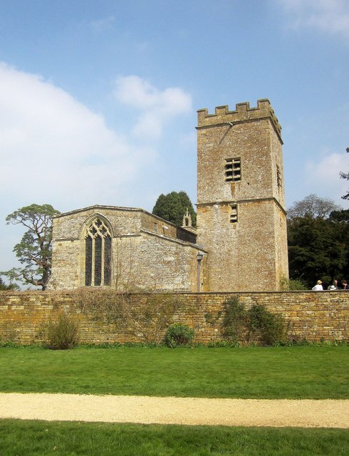
Despite its small size, Adlestrop offers a strong sense of community. The village has a local pub, the Adlestrop Arms, which serves as a hub for locals and visitors to gather and socialize. Additionally, the parish church, St. Mary Magdalene, provides a place of worship and hosts various community events throughout the year.
For those seeking outdoor activities, Adlestrop is surrounded by beautiful countryside perfect for walking and cycling. The nearby Cotswold Way offers stunning views of the surrounding area, including the neighboring villages of Daylesford and Lower Oddington.
Overall, Adlestrop is a charming and peaceful village that offers both a sense of tranquility and a strong community spirit. Its beauty and literary connections make it a popular destination for those looking to experience the quintessential English countryside.
If you have any feedback on the listing, please let us know in the comments section below.
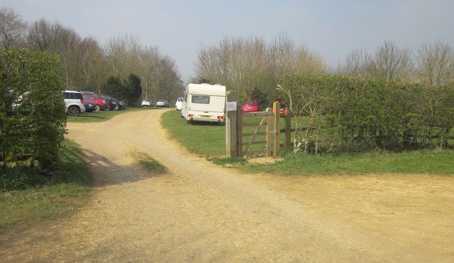
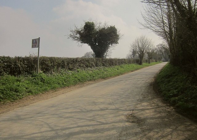
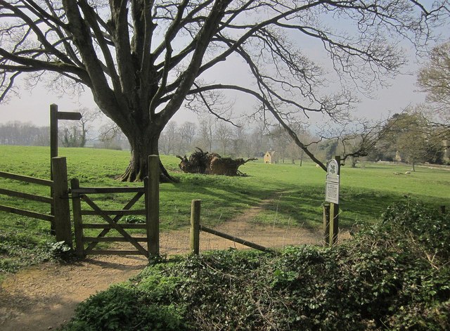
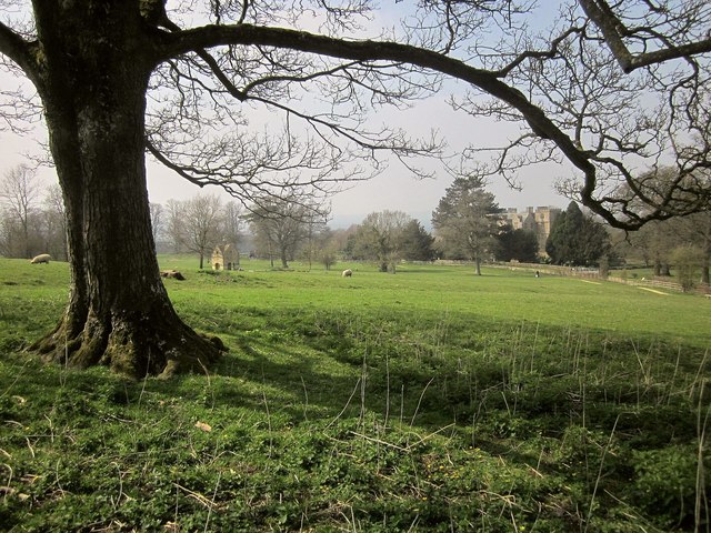
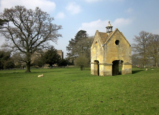
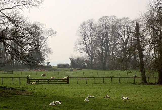
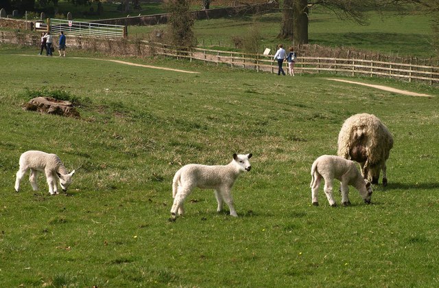
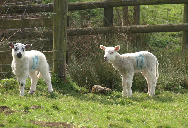
Adlestrop Images
Images are sourced within 2km of 51.942124/-1.642605 or Grid Reference SP2427. Thanks to Geograph Open Source API. All images are credited.


Adlestrop is located at Grid Ref: SP2427 (Lat: 51.942124, Lng: -1.642605)
Administrative County: Gloucestershire
District: Cotswold
Police Authority: Gloucestershire
What 3 Words
///herring.textiles.marmalade. Near Donnington, Gloucestershire
Nearby Locations
Related Wikis

Adlestrop
Adlestrop () is a village and civil parish in the Cotswolds, 3 miles (5 km) east of Stow-on-the-Wold, Gloucestershire, England, on the county boundary...

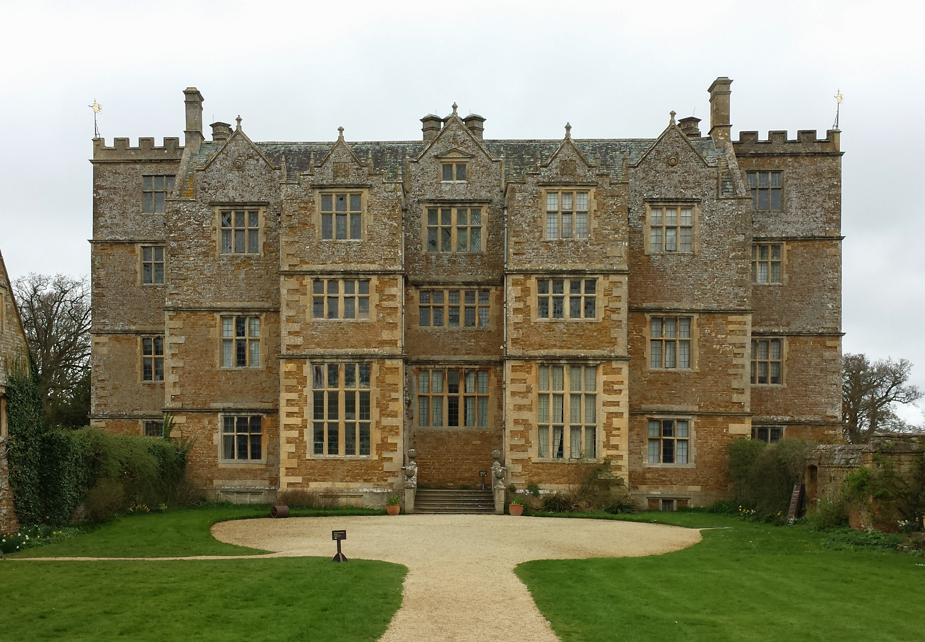
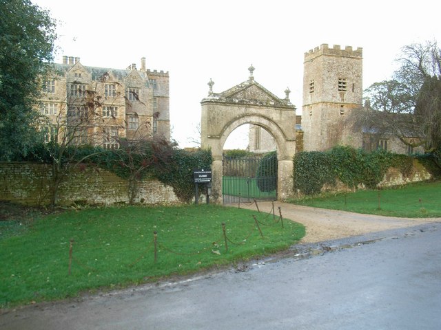
Daylesford House
Daylesford House is a Georgian country house near Daylesford, Gloucestershire, England, on the north bank of the River Evenlode near the border with Oxfordshire...

Daylesford, Gloucestershire
Daylesford is a small, privately owned village and former civil parish, now in the parish of Adlestrop, in the Cotswold district, in the county of Gloucestershire...
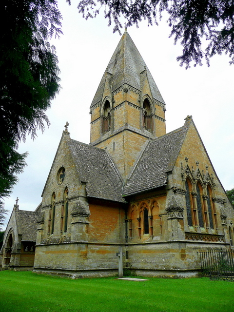
Church of St Peter, Daylesford
The Anglican Church of St Peter at Daylesford in the Cotswold District of Gloucestershire, England was rebuilt in 1860. It is a grade I listed building...
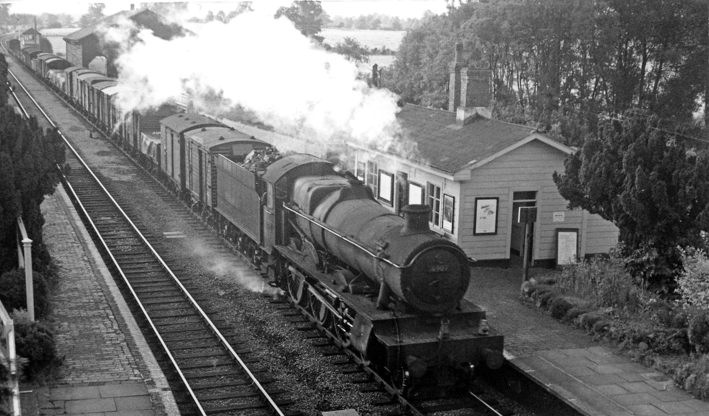
Adlestrop railway station
Adlestrop railway station was a railway station which served the village of Adlestrop in Gloucestershire, England, between 1853 and 1966. It was on what...
Chastleton House
Chastleton House () is a Jacobean country house at Chastleton, Oxfordshire, England, close to Moreton-in-Marsh (grid reference SP2429). It has been owned...

Kingham Hill School
Kingham Hill School is a Christian co-educational private day and boarding school for children aged 11–19, located near the village of Kingham in Oxfordshire...
Chastleton
Chastleton is a village and civil parish in the Cotswold Hills in Oxfordshire, England, about 4 miles (6.4 km) northeast of Stow-on-the-Wold. Chastleton...
Nearby Amenities
Located within 500m of 51.942124,-1.642605Have you been to Adlestrop?
Leave your review of Adlestrop below (or comments, questions and feedback).