Peak Coppice
Wood, Forest in Gloucestershire Cotswold
England
Peak Coppice
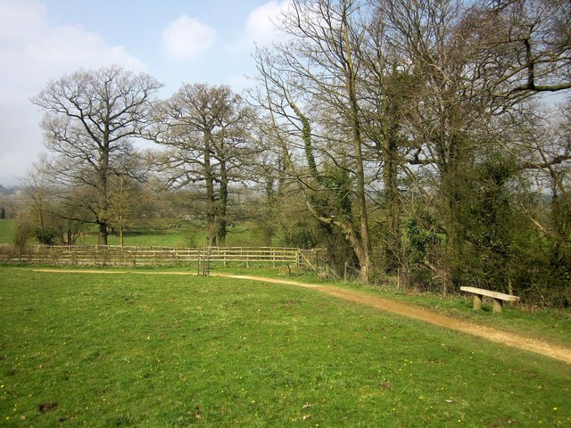
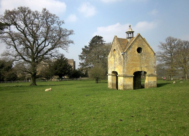
Peak Coppice is a woodland area located in the county of Gloucestershire, England. Spread across an area of approximately 100 hectares, it is situated near the village of Edge, south of Stroud. The coppice is a part of the larger Forest of Dean, renowned for its natural beauty and rich biodiversity.
The wood is predominantly composed of broadleaf trees, including oak, beech, and hazel, which provide a lush green canopy during the summer months. The forest floor is adorned with a variety of wildflowers, such as bluebells and primroses, creating a vibrant and picturesque setting.
Peak Coppice has a long history of woodland management, with evidence of coppicing dating back several centuries. Coppicing is an ancient forestry practice that involves cutting trees at ground level to encourage new growth and provide a sustainable source of timber. This traditional management technique has helped maintain a diverse range of habitats within the woodland, supporting a wide array of flora and fauna.
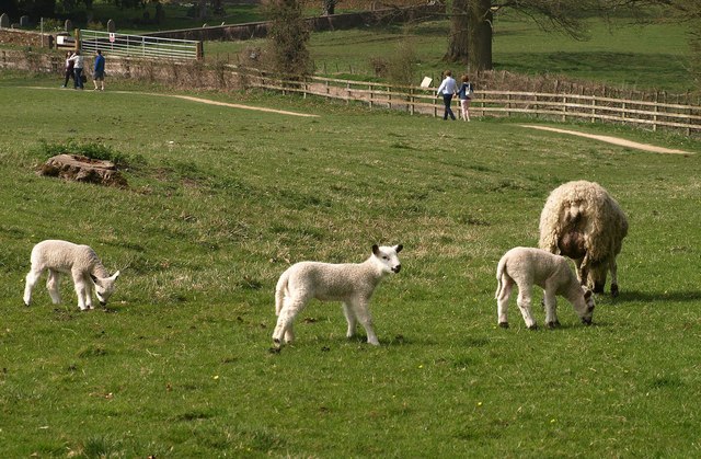
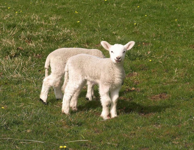
The wood is home to numerous species of birds, including woodpeckers, owls, and various songbirds. Mammals such as deer, foxes, and badgers can also be found in the area. Additionally, the coppice provides an important habitat for several rare and protected species, such as the lesser horseshoe bat and the pearl-bordered fritillary butterfly.
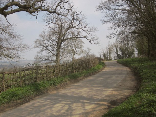
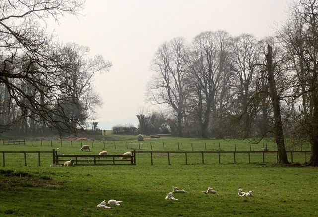
Peak Coppice offers a peaceful and tranquil environment for visitors to explore. There are several walking trails and footpaths that allow visitors to appreciate the natural beauty of the woodland and observe its diverse wildlife. The wood also provides opportunities for educational activities, such as nature studies and environmental conservation programs.
If you have any feedback on the listing, please let us know in the comments section below.
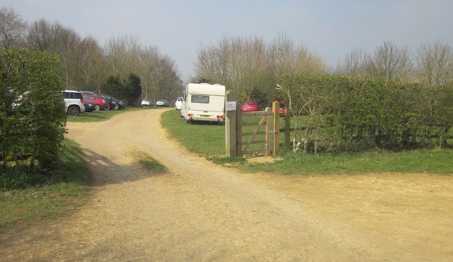
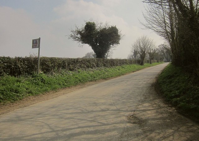
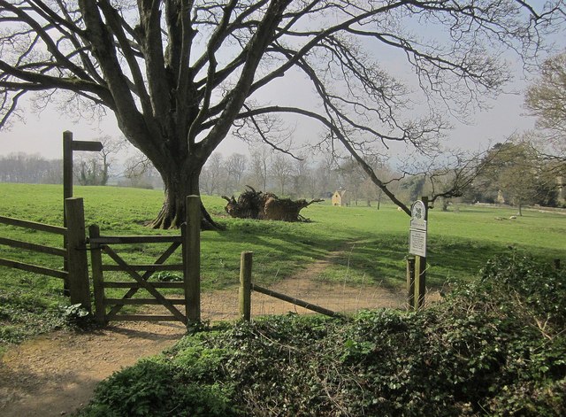
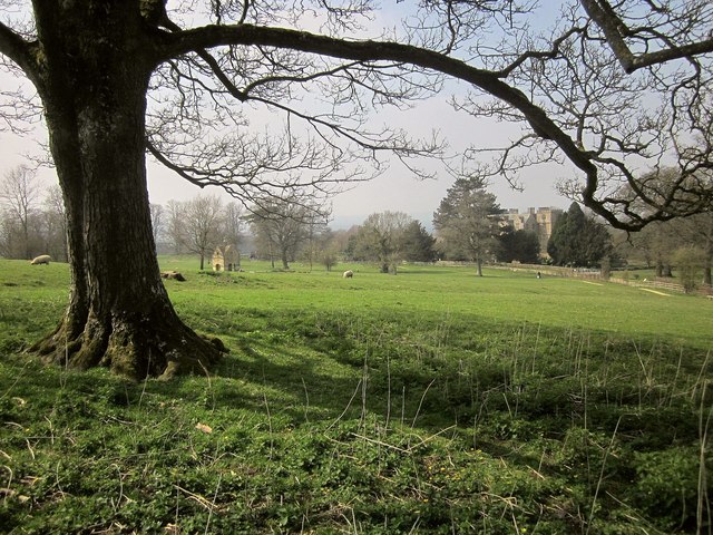
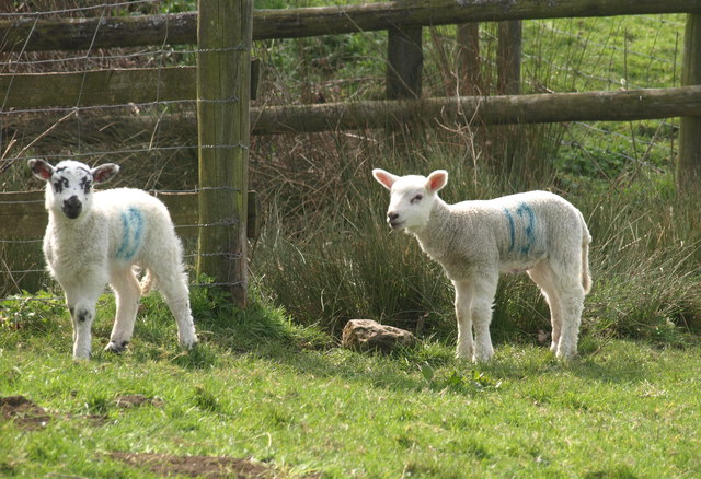
Peak Coppice Images
Images are sourced within 2km of 51.949792/-1.6494332 or Grid Reference SP2427. Thanks to Geograph Open Source API. All images are credited.

Peak Coppice is located at Grid Ref: SP2427 (Lat: 51.949792, Lng: -1.6494332)
Administrative County: Gloucestershire
District: Cotswold
Police Authority: Gloucestershire
What 3 Words
///emptied.loads.corporate. Near Donnington, Gloucestershire
Nearby Locations
Related Wikis

Adlestrop
Adlestrop () is a village and civil parish in the Cotswolds, 3 miles (5 km) east of Stow-on-the-Wold, Gloucestershire, England, on the county boundary...
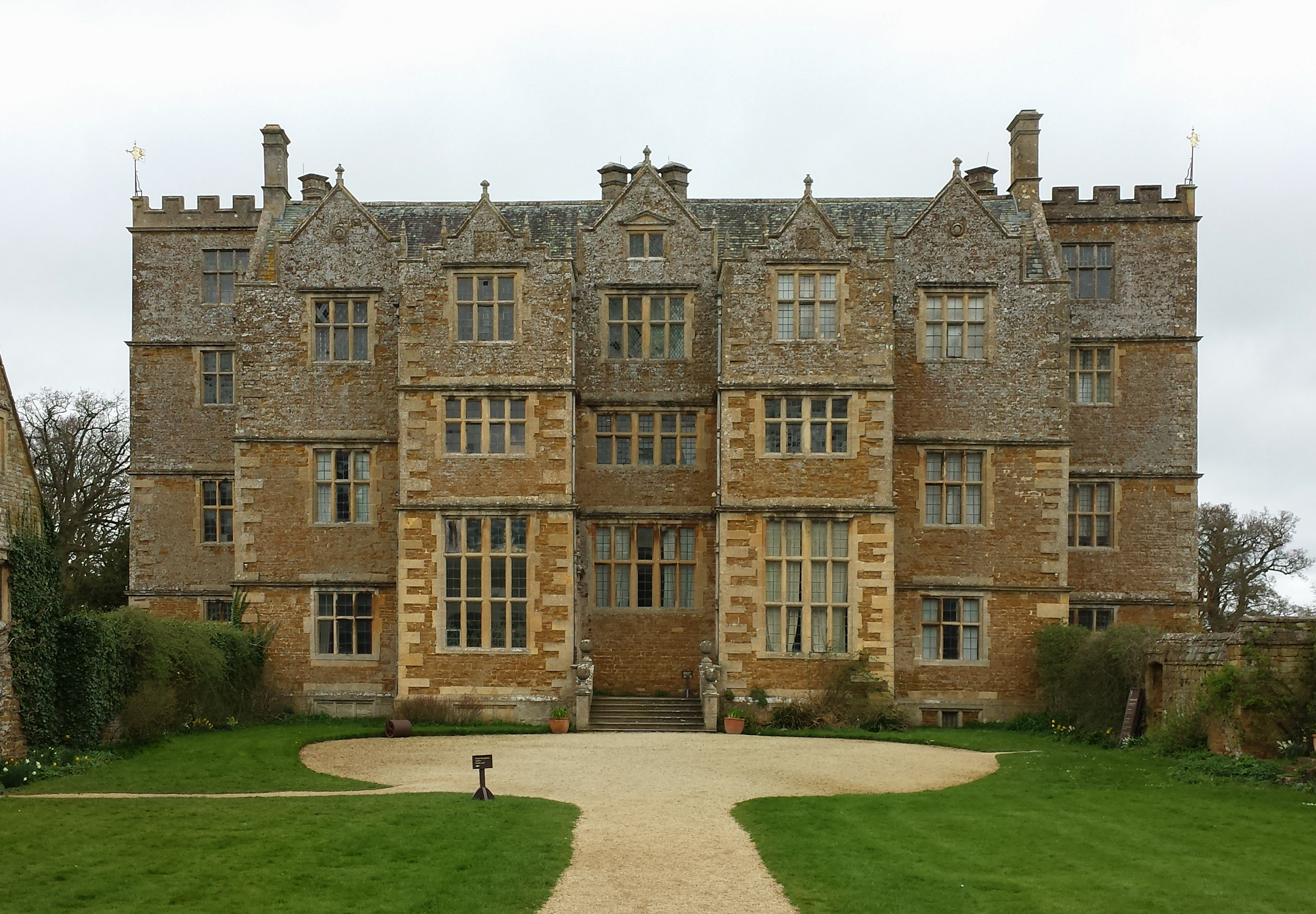
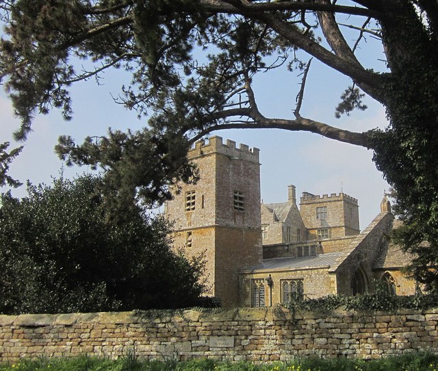
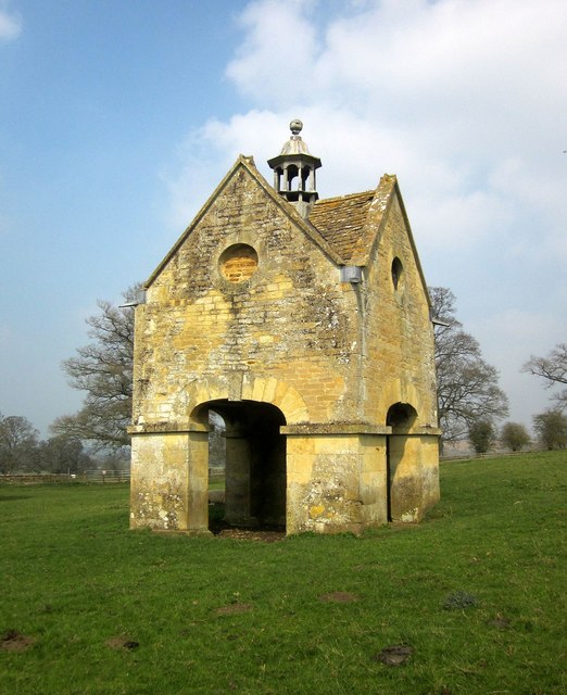
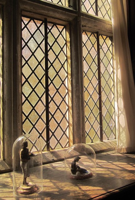
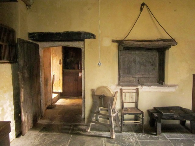
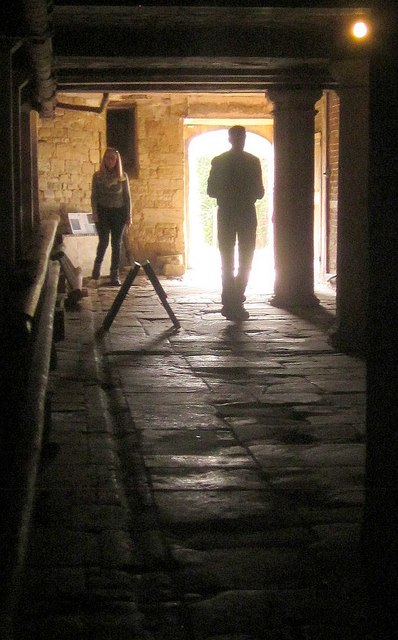
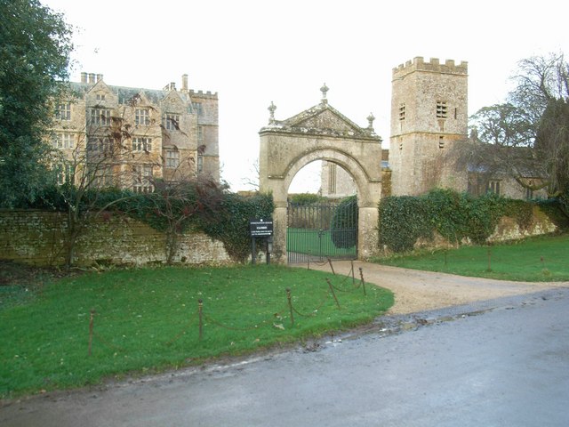
Chastleton House
Chastleton House () is a Jacobean country house at Chastleton, Oxfordshire, England, close to Moreton-in-Marsh (grid reference SP2429). It has been owned...
Chastleton
Chastleton is a village and civil parish in the Cotswold Hills in Oxfordshire, England, about 4 miles (6.4 km) northeast of Stow-on-the-Wold. Chastleton...
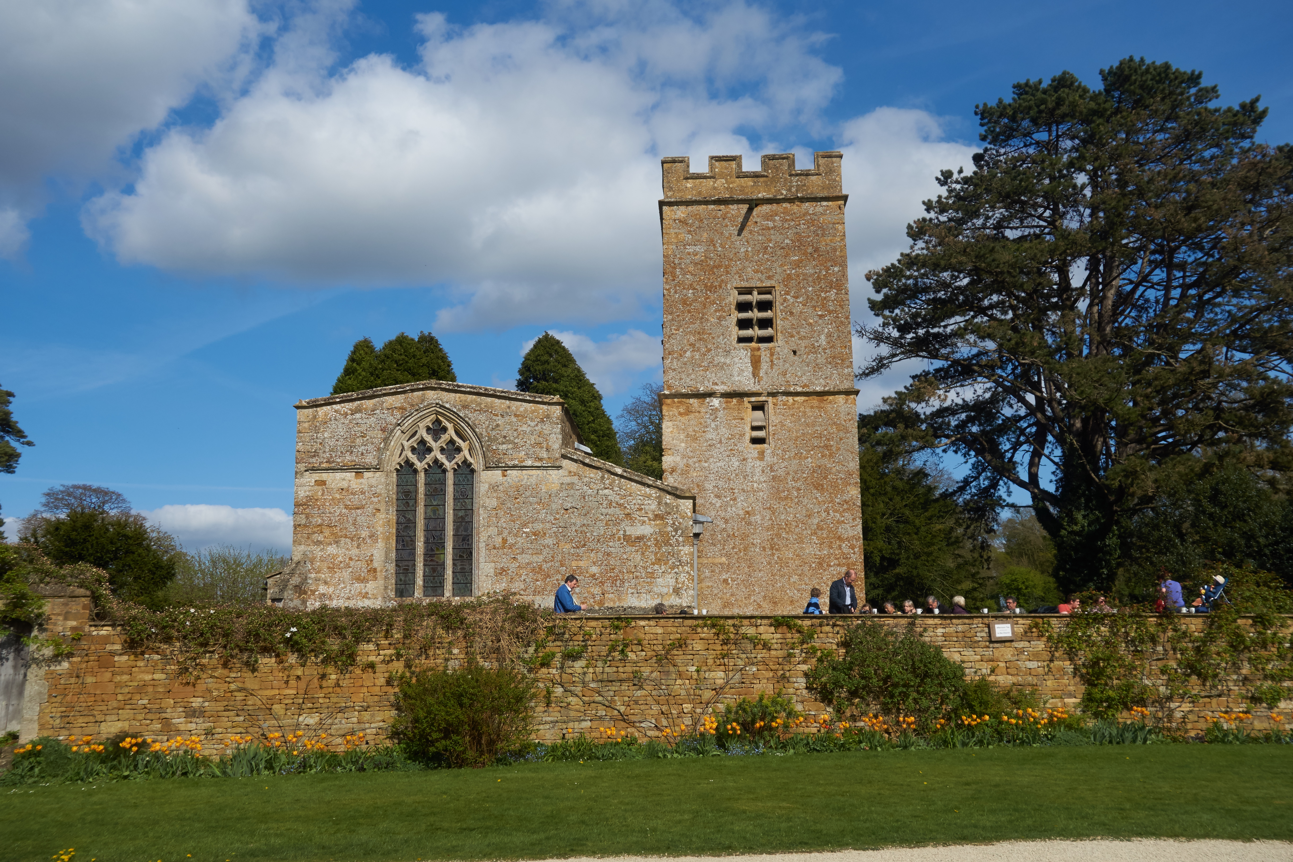
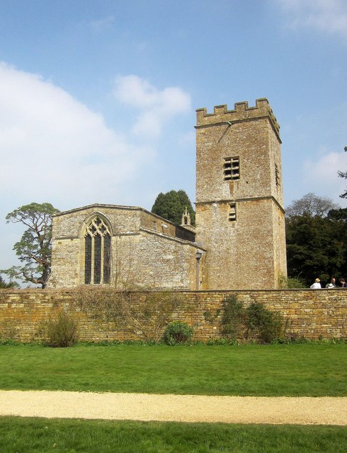
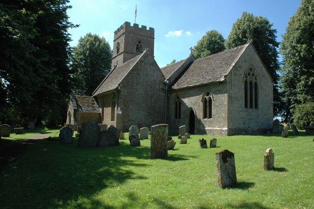
St Mary's Church, Chastleton
The Church of St Mary the Virgin is the Church of England parish church of Chastleton, Oxfordshire, England. It is a parish church in the parish of Little...
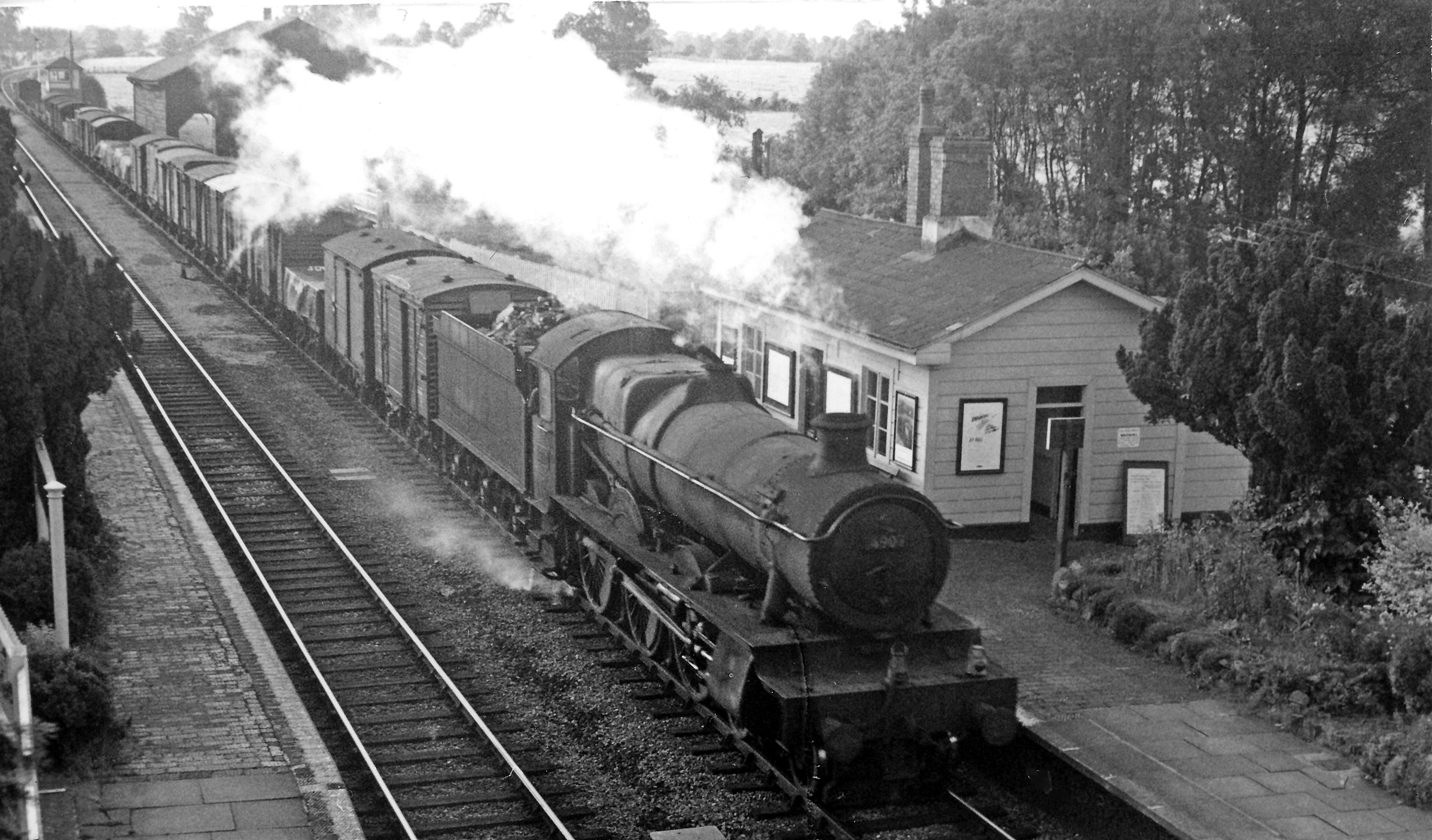
Adlestrop railway station
Adlestrop railway station was a railway station which served the village of Adlestrop in Gloucestershire, England, between 1853 and 1966. It was on what...
Evenlode
Evenlode is a village and civil parish (ONS Code 23UC051) in the Cotswold District of eastern Gloucestershire in England.Evenlode is bordered by the Gloucestershire...

Daylesford House
Daylesford House is a Georgian country house near Daylesford, Gloucestershire, England, on the north bank of the River Evenlode near the border with Oxfordshire...

Daylesford, Gloucestershire
Daylesford is a small, privately owned village and former civil parish, now in the parish of Adlestrop, in the Cotswold district, in the county of Gloucestershire...
Nearby Amenities
Located within 500m of 51.949792,-1.6494332Have you been to Peak Coppice?
Leave your review of Peak Coppice below (or comments, questions and feedback).