Adisham
Civil Parish in Kent Canterbury
England
Adisham
Adisham is a civil parish located in the county of Kent, England. Situated about 7 miles southeast of Canterbury, it covers an area of approximately 5.9 square miles. The parish is predominantly rural, with a population of around 500 residents.
The village of Adisham is the main settlement within the parish. It is known for its picturesque surroundings and charming rural atmosphere. The village features a mix of architectural styles, with a notable number of historic buildings, including the Grade I listed St. Mary's Church, which dates back to the 12th century.
Adisham is renowned for its beautiful countryside, with rolling hills, meadows, and woodlands. The area offers numerous opportunities for outdoor activities, such as walking, hiking, and cycling. The nearby River Stour, which flows through the parish, is a popular spot for fishing and boating enthusiasts.
The parish also boasts a strong sense of community, with various local events and activities organized throughout the year. The village hall serves as a focal point for social gatherings and community meetings.
Adisham benefits from its proximity to Canterbury, which provides easy access to a range of amenities, including shops, schools, and healthcare facilities. The village is well-connected by road, with the A2 and A257 passing nearby, offering convenient transportation links to other parts of Kent and beyond.
Overall, Adisham offers a peaceful and idyllic setting, making it an attractive place to live for those seeking a rural lifestyle within easy reach of urban amenities.
If you have any feedback on the listing, please let us know in the comments section below.
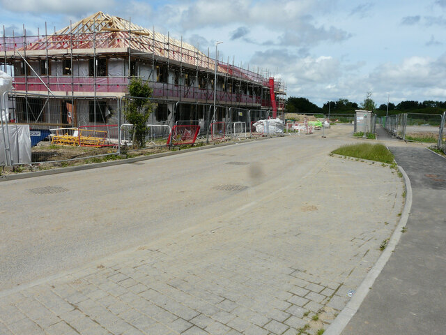
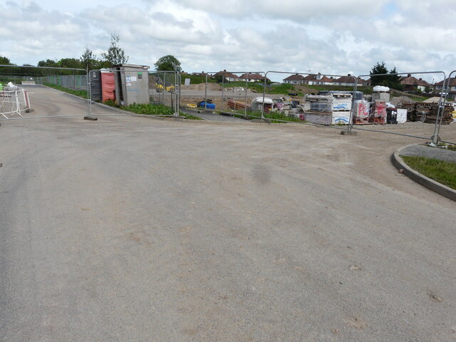
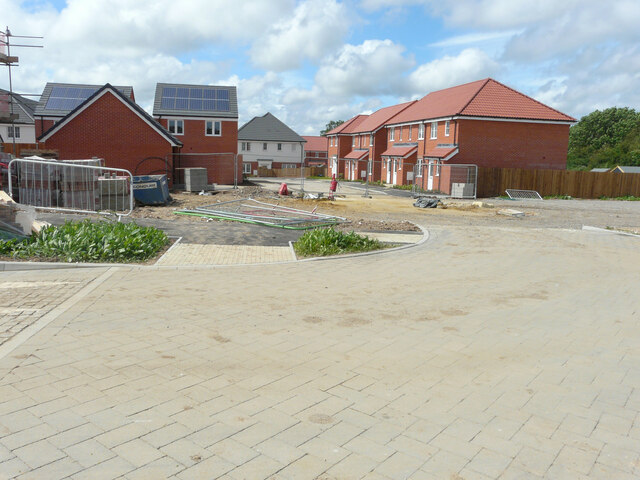
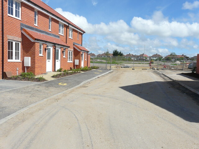
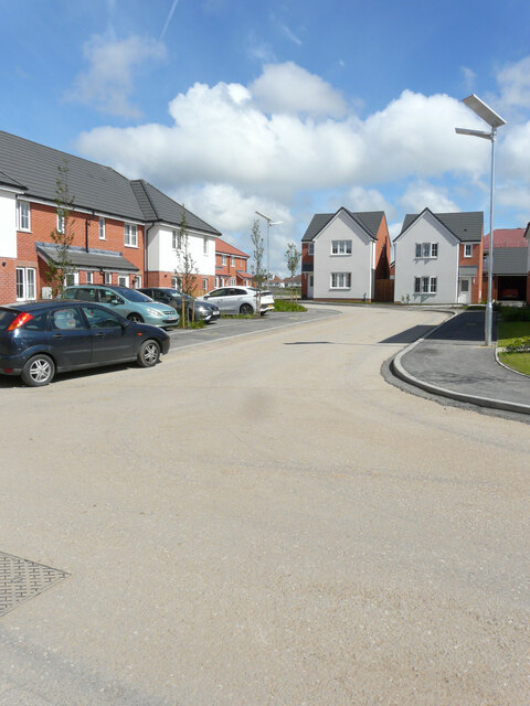
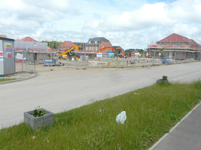
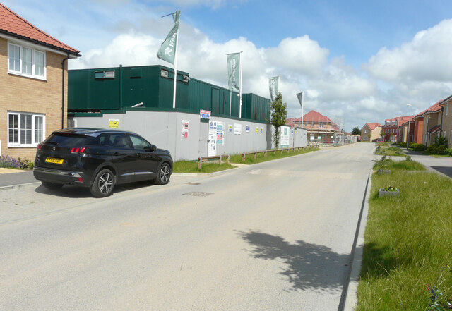
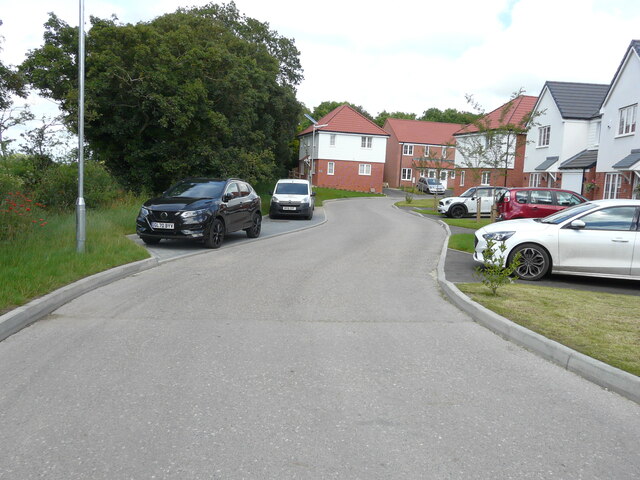
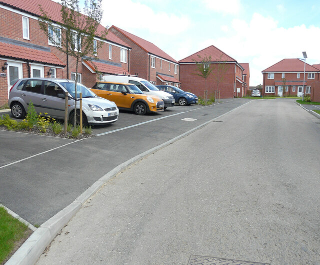
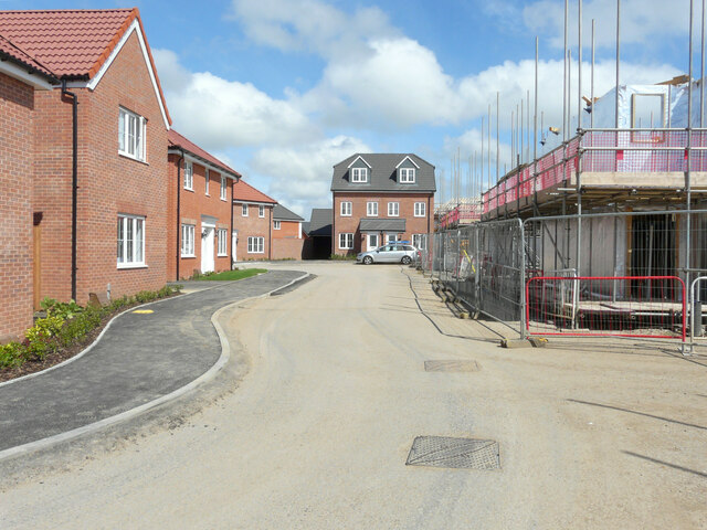
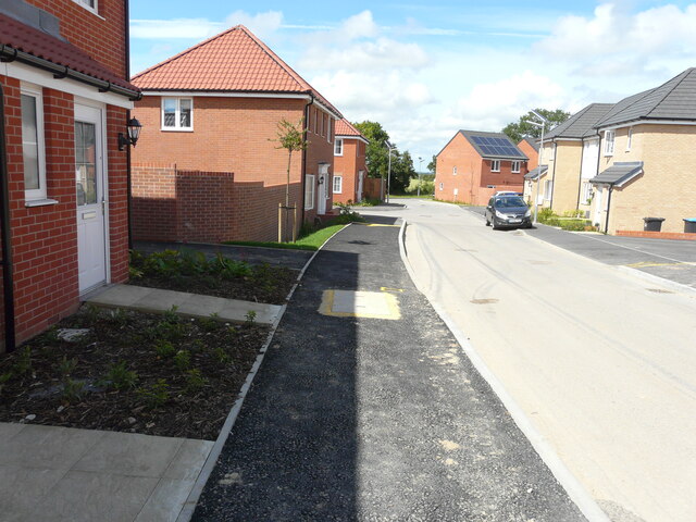
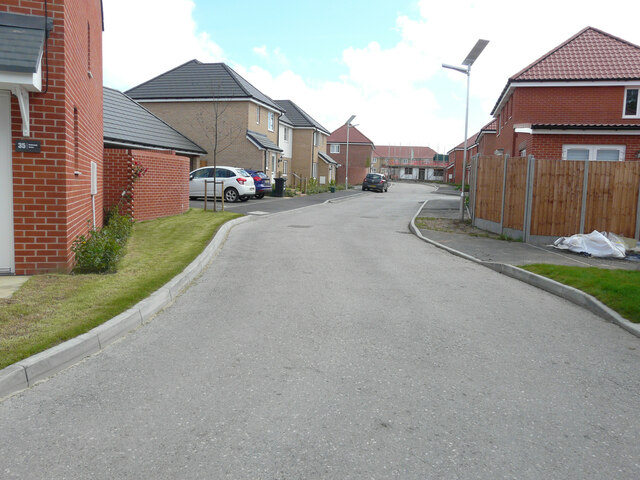
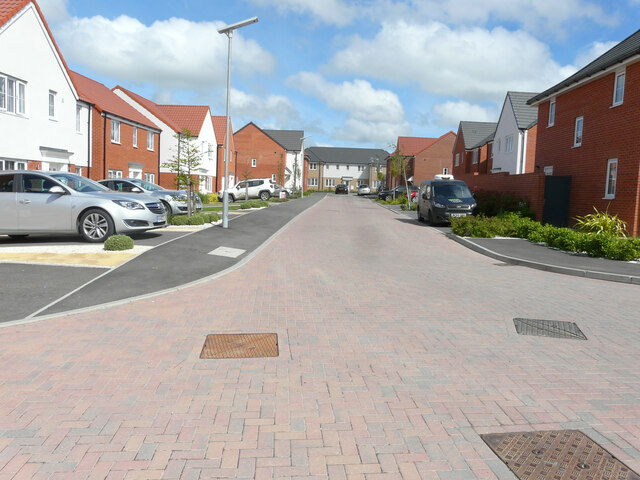
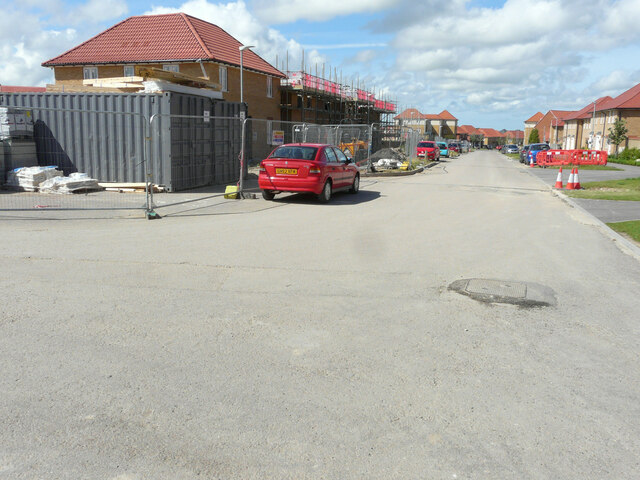
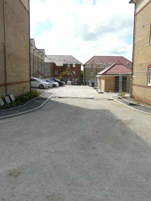
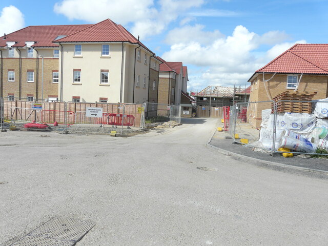
Adisham Images
Images are sourced within 2km of 51.23622/1.179577 or Grid Reference TR2253. Thanks to Geograph Open Source API. All images are credited.
Adisham is located at Grid Ref: TR2253 (Lat: 51.23622, Lng: 1.179577)
Administrative County: Kent
District: Canterbury
Police Authority: Kent
What 3 Words
///undertook.tamed.tunnel. Near Aylesham, Kent
Nearby Locations
Related Wikis

Ileden and Oxenden Woods
Ileden and Oxenden Woods is an 86.4-hectare (213-acre) biological Site of Special Scientific Interest (SSSI) south-east of Canterbury in Kent. It is in...

Adisham
Adisham (formerly Adesham) is a village and civil parish in the English county of Kent. It is twinned with Campagne-lès-Hesdin in France. == Geography... ==
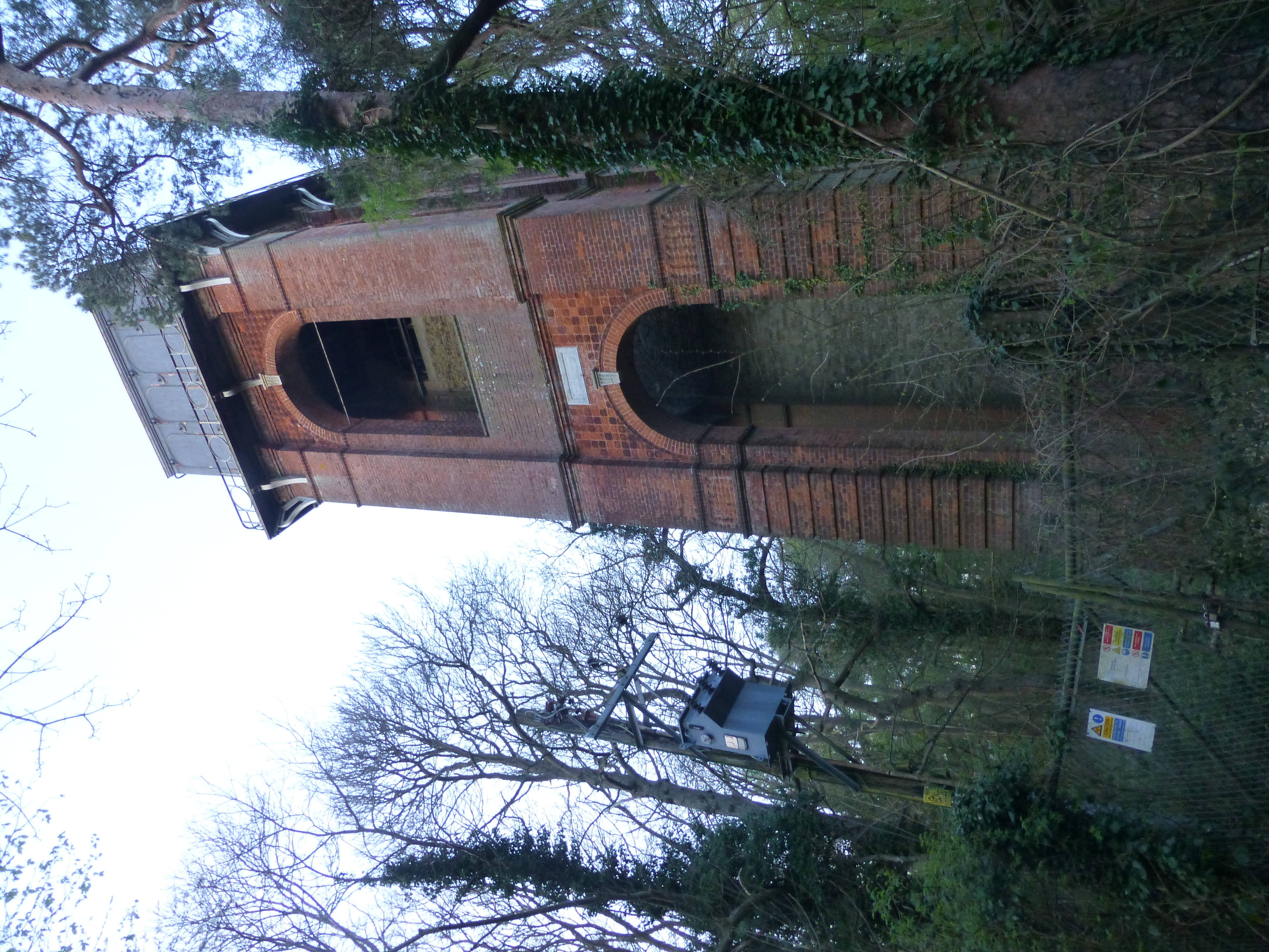
Adisham Water Tower
Adisham Water Tower is a Grade II listed building located in the parish of Adisham, Kent. The structure was built in 1903 in an Edwardian Italianate Revival...
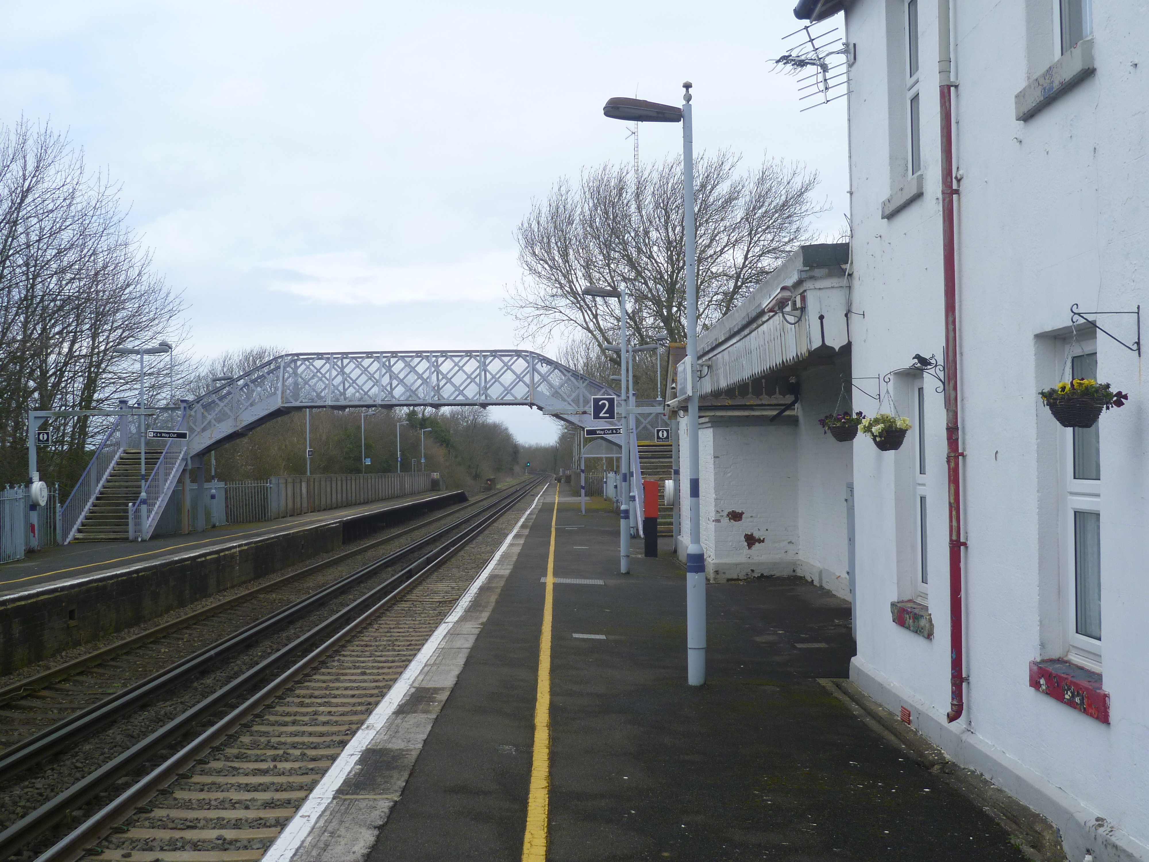
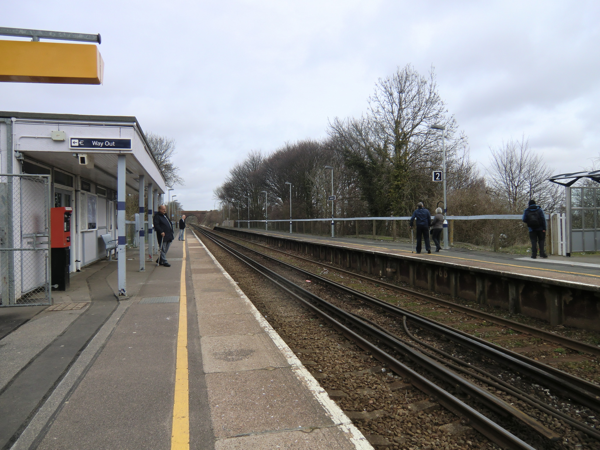
Adisham railway station
Adisham railway station is on the Dover branch of the Chatham Main Line in England, and serves the village of Adisham, Kent. It is 67 miles 60 chains...

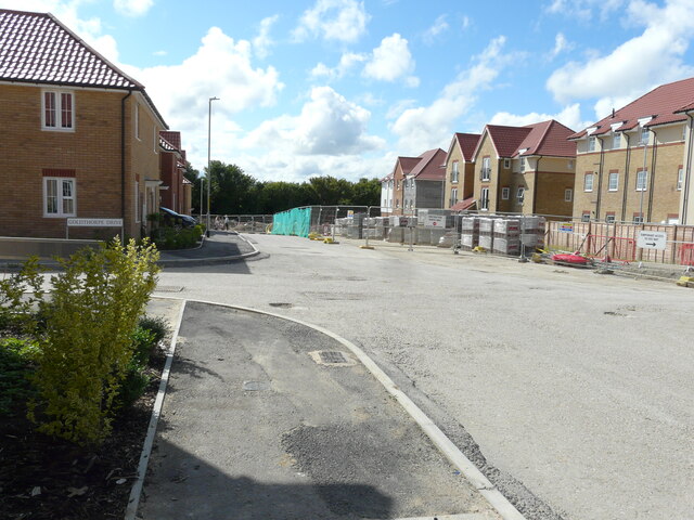
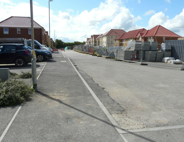
Aylesham
Aylesham is a village and civil parish in the Dover district of Kent, England. The village is 6.5 miles (10.5 km) southeast of the cathedral city of Canterbury...
Aylesham railway station
Aylesham railway station is on the Dover branch of the Chatham Main Line in England, and serves the village of Aylesham, Kent. It is 68 miles 66 chains...

Black Mill, Barham
Black Mill or Barham Downs Mill was a smock mill at Barham, Kent, England which was accidentally burnt down in 1970 while under restoration. == History... ==
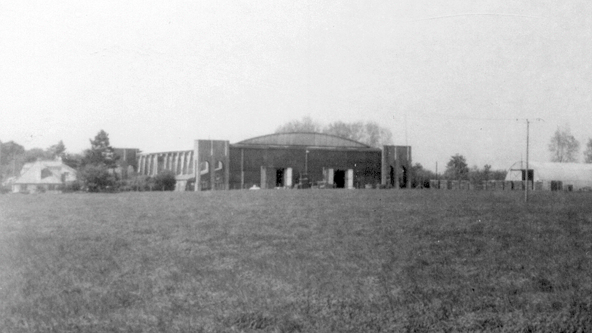
Bekesbourne Aerodrome
Bekesbourne Aerodrome was an airport located at the southeast edge of the village of Bekesbourne, southeast of Canterbury, Kent. It operated from 1916...
Nearby Amenities
Located within 500m of 51.23622,1.179577Have you been to Adisham?
Leave your review of Adisham below (or comments, questions and feedback).