Adforton
Civil Parish in Herefordshire
England
Adforton
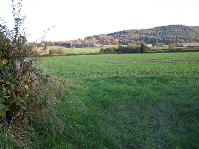
Adforton is a civil parish located in the county of Herefordshire, England. Situated in the northwest part of the county, it is a rural area surrounded by picturesque countryside and rolling hills. The parish covers an area of approximately 8 square kilometers and has a population of around 150 residents.
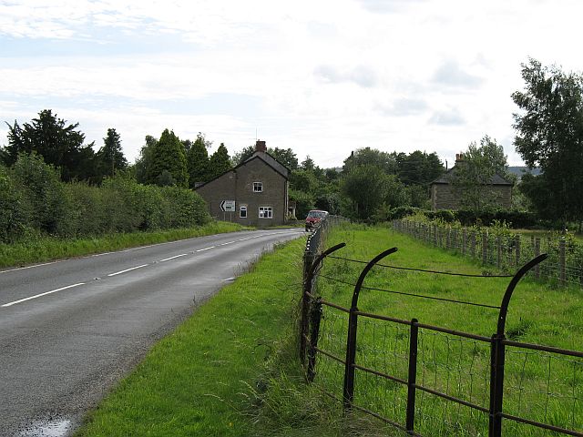
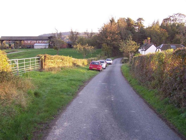
Adforton is a quintessential English village, known for its tranquil and idyllic setting. It is characterized by its charming stone cottages, traditional architecture, and a sense of community spirit. The parish is predominantly agricultural, with farming being the primary occupation of the residents.
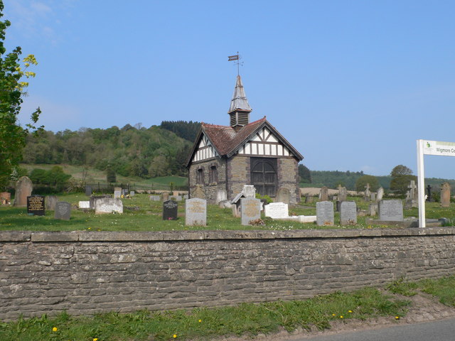
The centerpiece of Adforton is the St. Andrew's Church, a historic place of worship that dates back to the 12th century. This beautifully preserved church features Norman architecture and is regarded as a significant historical site in the area. The church, along with its churchyard, provides a peaceful and serene atmosphere for locals and visitors alike.
Despite its small size, Adforton offers a range of amenities and services to its residents. These include a village hall, a primary school, and a post office, ensuring that basic needs are met within the community. The parish also benefits from its proximity to larger towns and cities, with Leominster being the nearest major town.
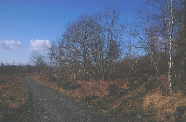
Adforton is a haven for nature lovers, with numerous walking paths and trails that showcase the stunning Herefordshire countryside. The parish is also home to a variety of wildlife, including birds, mammals, and plant species, making it a popular destination for nature enthusiasts.
Overall, Adforton is a charming and peaceful civil parish, offering a rural retreat for those seeking tranquility and natural beauty in the heart of Herefordshire.
If you have any feedback on the listing, please let us know in the comments section below.
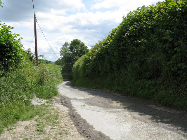
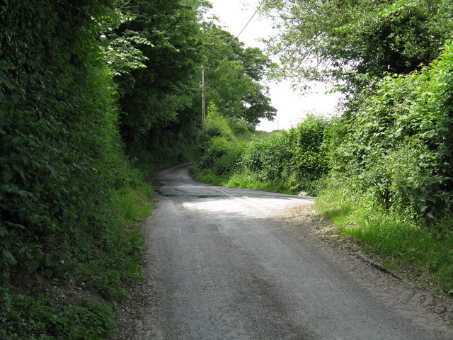
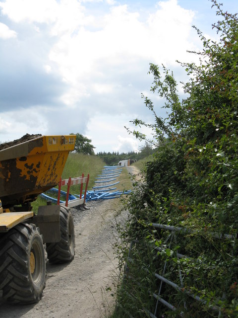
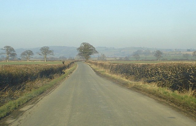
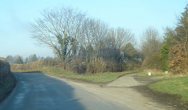
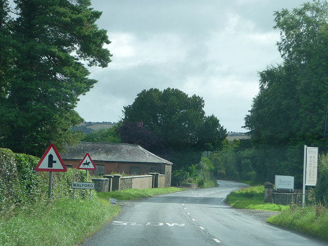
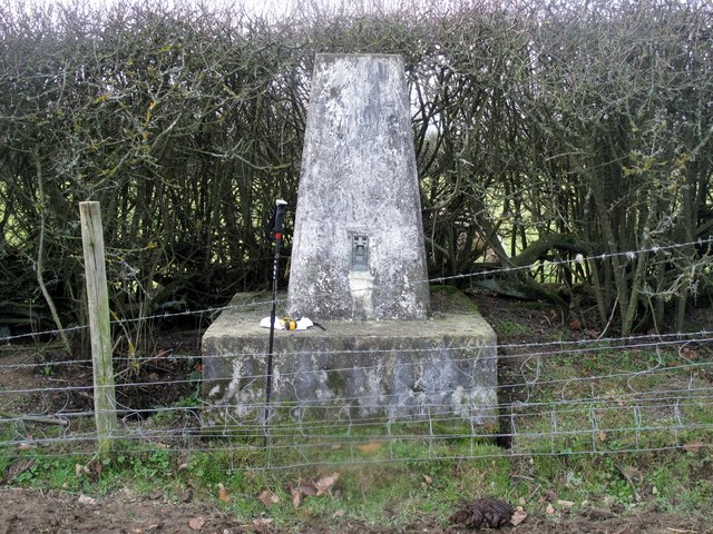
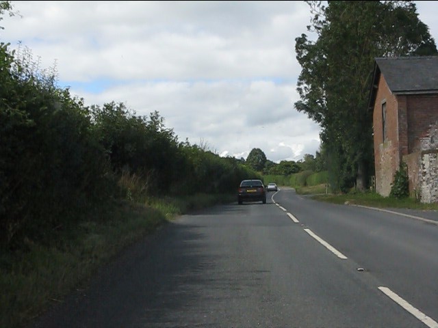
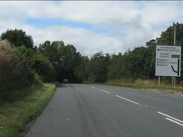
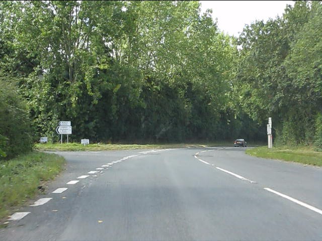
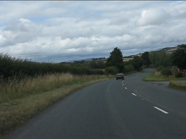
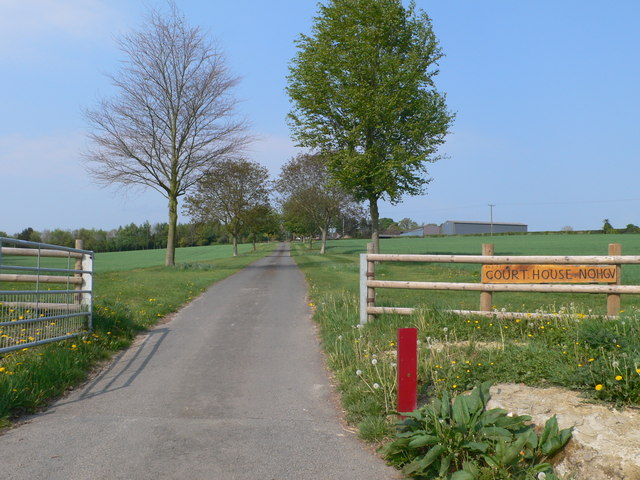
Adforton Images
Images are sourced within 2km of 52.335327/-2.877825 or Grid Reference SO4071. Thanks to Geograph Open Source API. All images are credited.
Adforton is located at Grid Ref: SO4071 (Lat: 52.335327, Lng: -2.877825)
Unitary Authority: County of Herefordshire
Police Authority: West Mercia
What 3 Words
///vital.vegans.reforming. Near Wigmore, Herefordshire
Related Wikis

Adforton
Adforton is a small village and a civil parish in north Herefordshire, England. It is on the A4110 main road approximately 22 miles (35 km) north of Hereford...

Wigmore Abbey Grange
Wigmore Abbey Grange is a complex of former monastic buildings just north of the village of Adforton, Herefordshire, England. == History == Wigmore Abbey...

Brandon Camp
Brandon Camp is an archaeological site, about 1 mile south of Leintwardine, in Herefordshire. England. It is a hillfort of the Iron Age, which later became...
Walford, Letton and Newton
Walford, Letton and Newton is a civil parish in north Herefordshire, England, and approximately 20 miles (30 km) north-northwest from the city and county...
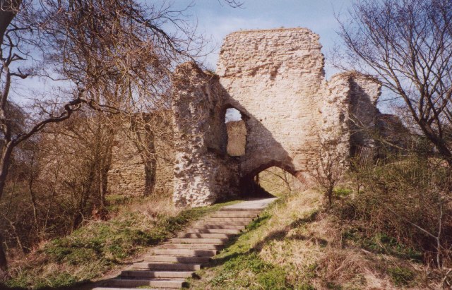
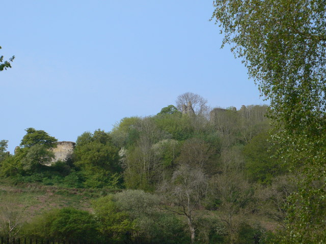
Wigmore Castle
Wigmore Castle is a ruined castle about 1 km (0.62 mi) from the village of Wigmore in the northwest region of Herefordshire, England. == History == Wigmore...

A4113 road
The A4113 road is a single-carriageway road that runs from Knighton in Powys to Bromfield in Shropshire, United Kingdom, passing through north Herefordshire...

Wigmore, Herefordshire
Wigmore is a village and civil parish in the northwest part of the county of Herefordshire, England. It is located on the A4110 road, about 8 miles (13...
Buckton Roman Fort
Buckton Roman Fort is an archaeological site at Buckton, about 1 mile south-west of Leintwardine, in Herefordshire. England. it is a scheduled monument...
Nearby Amenities
Located within 500m of 52.335327,-2.877825Have you been to Adforton?
Leave your review of Adforton below (or comments, questions and feedback).