The Rough

Wood, Forest in Herefordshire

England

The Rough

Wigmore Rolls Forested hill above Wigmore.
Wigmore Rolls Credit: Richard Webb

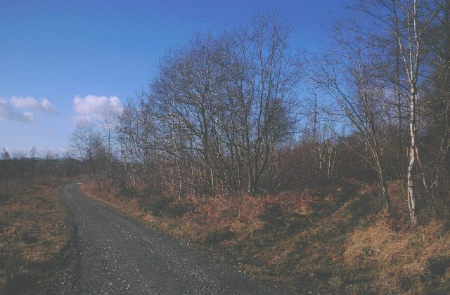
The Rough, located in Herefordshire, England, is a captivating woodland area known for its natural beauty and rich biodiversity. Spanning over a vast expanse, it is characterized by dense forests, tall trees, and a variety of plants and wildlife. The Rough is a popular destination for nature enthusiasts, hikers, and those seeking tranquility in a serene setting.

The woodland is home to a diverse range of tree species, including oak, beech, and ash, creating a stunning canopy of foliage that changes with the seasons. Walking along the well-maintained trails, visitors can enjoy the sight of wildflowers, ferns, and mosses that adorn the forest floor. The Rough is also home to several streams and small ponds, adding to its picturesque allure.

The wildlife in The Rough is abundant and varied. Birds such as woodpeckers, nightingales, and owls can be heard chirping and hooting throughout the day. Squirrels, rabbits, and foxes are commonly spotted, while lucky visitors may even catch a glimpse of the elusive deer that roam the area.

The Rough offers a peaceful retreat from the hustle and bustle of city life. Its natural beauty and tranquil atmosphere make it an ideal location for activities such as picnicking, photography, and nature walks. The woodland is also a designated nature reserve, highlighting its importance in preserving local flora and fauna.

Overall, The Rough in Herefordshire is a captivating woodland area that offers a scenic escape into nature. With its diverse range of trees, abundant wildlife, and serene ambiance, it has become a beloved destination for those seeking solace in the beauty of the natural world.

If you have any feedback on the listing, please let us know in the comments section below.
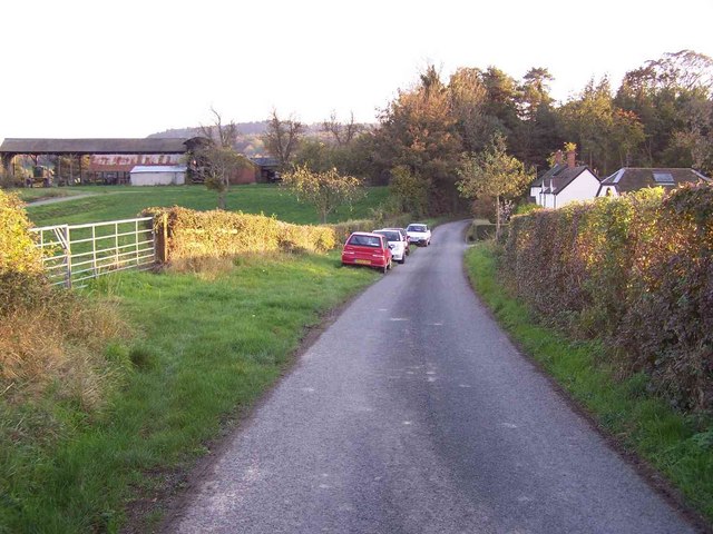
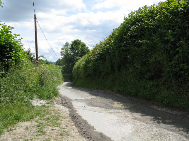
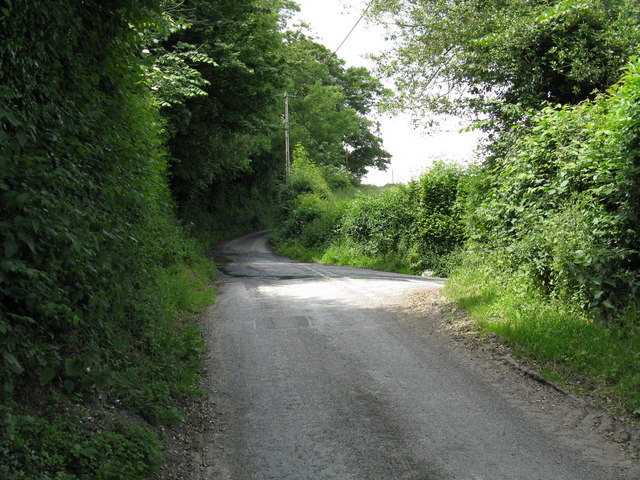
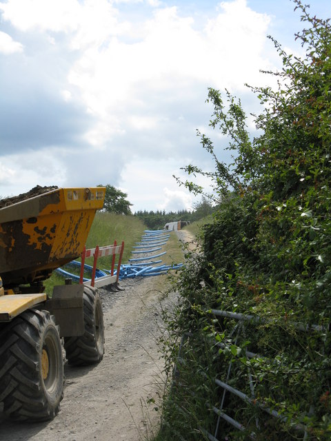
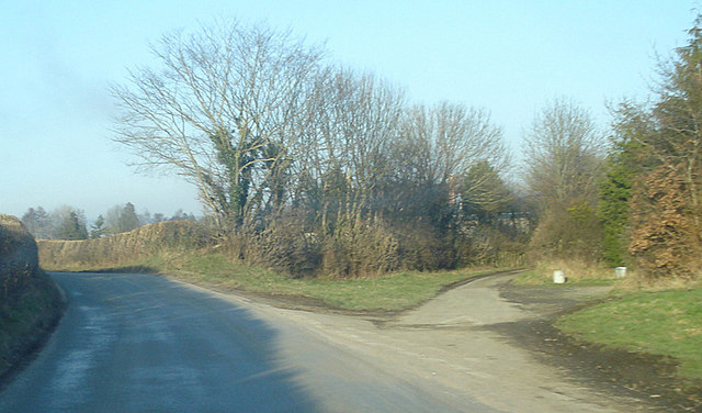
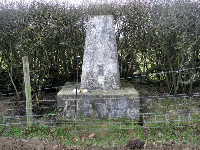
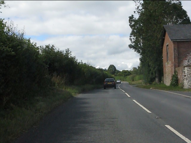
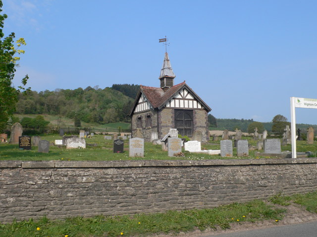
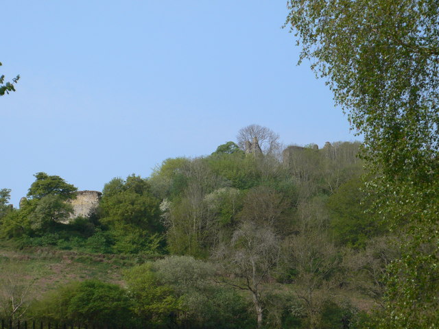
The Rough Images

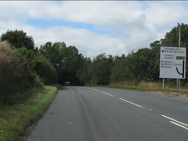
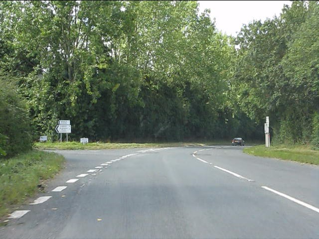
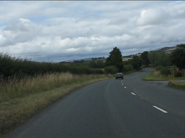
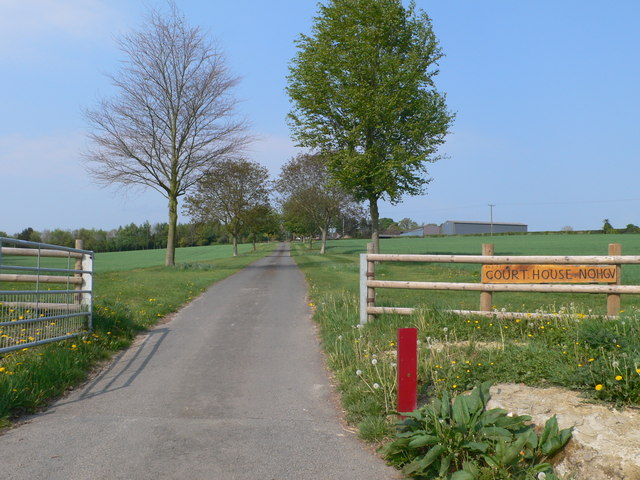
Images are sourced within 2km of 52.335572/-2.8743067 or Grid Reference SO4071. Thanks to Geograph Open Source API. All images are credited.

Wigmore Rolls Forested hill above Wigmore.
Wigmore Rolls
Forested hill above Wigmore.
Lower House
Lower House
Down the lane
Down the lane
Junction for Lower House lane
Men at Work Burly gentlemen were digging trenches and laying pipe on this track.
Men at Work
Burly gentlemen were digging trenches and laying pipe on this track.
Outskirts of Walford View north-east. The fork to the right leads to the housing just visible through the trees.
Outskirts of Walford
View north-east. The fork to the right leads to the housing just visible through the trees.
Wigmore Rolls Trig Point S7901 Parked by the pub in village then walked through the church yard, castle and up the side of wood to bag top and trig. Some horny old vocal Hereford X cows and calves in field.
Wigmore Rolls Trig Point S7901
Parked by the pub in village then walked through the church yard, castle and up the side of wood to bag top and trig. Some horny old vocal Hereford X cows and calves in field.
A4110 at Gotherment
A4110 at Gotherment
A4110 approaching the junction for Knighton (B4530)
A4110 at the junction for Knighton (B4530)
A4110 near Brandon Camp
Driveway to Court House
Wigmore cemetery Just to the north of the village.
Wigmore cemetery
Just to the north of the village.
Wigmore Castle  Founded in 1067 by William Fitz Osbern, Wigmore Castle was a major centre of power for over 500 years, and played host to several kings and queens. Held by the Mortimer family from about 1075 to 1425, it passed to the Crown and was later sold to Sir Thomas Harley in 1601.  The castle fell into ruin after being deliberately demolished during the Civil War.
Wigmore Castle
Founded in 1067 by William Fitz Osbern, Wigmore Castle was a major centre of power for over 500 years, and played host to several kings and queens. Held by the Mortimer family from about 1075 to 1425, it passed to the Crown and was later sold to Sir Thomas Harley in 1601. The castle fell into ruin after being deliberately demolished during the Civil War.
Wigmore Castle and Moor Wigmore Castle overlooking a misty and frosty Wigmore Moor
Wigmore Castle and Moor
Wigmore Castle overlooking a misty and frosty Wigmore Moor
Wigmore Rolls Parked by the pub in village then walked through the church yard, castle and up the side of wood to bag top and trig. Some horny old vocal Hereford X cows and calves in field.
Name: Wigmore Rolls
Hill number: 5366
Height: 288m / 945ft
Area: 38B: West Gloucestershire, Hereford & Worcester
Class: Hu
Grid ref: SO 40060 69727
Summit feature: no feature: ground in pasture
Drop: 114m
Col: 174m  SO367688
Wigmore Rolls
Parked by the pub in village then walked through the church yard, castle and up the side of wood to bag top and trig. Some horny old vocal Hereford X cows and calves in field. Name: Wigmore Rolls Hill number: 5366 Height: 288m / 945ft Area: 38B: West Gloucestershire, Hereford & Worcester Class: Hu Grid ref: SO 40060 69727 Summit feature: no feature: ground in pasture Drop: 114m Col: 174m SO367688
Approaching Wigmore Castle The approach to the castle sets the tone - it helps you zone in and appreciate the castle site, history and spirit of place really well.
Approaching Wigmore Castle
The approach to the castle sets the tone - it helps you zone in and appreciate the castle site, history and spirit of place really well.
Part of Wigmore Castle, Herefordshire I really like what English Heritage have done with the site.
Part of Wigmore Castle, Herefordshire
I really like what English Heritage have done with the site.
Show me another place!

The Rough is located at Grid Ref: SO4071 (Lat: 52.335572, Lng: -2.8743067)

Unitary Authority: County of Herefordshire

Police Authority: West Mercia

What 3 Words

///into.craftsman.roosters. Near Wigmore, Herefordshire

Nearby Locations

The Rough Adforton

Related Wikis

Adforton

Adforton is a small village and a civil parish in north Herefordshire, England. It is on the A4110 main road approximately 22 miles (35 km) north of Hereford...

Wigmore Abbey Grange

Wigmore Abbey Grange is a complex of former monastic buildings just north of the village of Adforton, Herefordshire, England. == History == Wigmore Abbey...

Brandon Camp

Brandon Camp is an archaeological site, about 1 mile south of Leintwardine, in Herefordshire. England. It is a hillfort of the Iron Age, which later became...
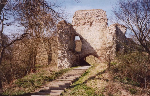
Wigmore Castle

Wigmore Castle is a ruined castle about 1 km (0.62 mi) from the village of Wigmore in the northwest region of Herefordshire, England. == History == Wigmore...

Nearby Amenities

Located within 500m of 52.335572,-2.8743067
Adforton
Place: village
Source: npe
Wikidata: Q3784228
Lat/Long: 52.3345051/-2.8802727
Bus Stop
Church
Bus: yes
Naptan AtcoCode: 2090A138800
Naptan Bearing: SE
Naptan BusStopType: CUS
Naptan CommonName: Church
Naptan Indicator: opp
Naptan Landmark: Adforton.Church
Naptan NaptanCode: heragawp
Naptan Street: A4110
Naptan Verified: no
Public Transport: platform
Source: naptan_import
Lat/Long: 52.3342324/-2.8793266
Telephone
Booth: K6
Colour: blue
Covered: booth
Man Made: telephone_box
Lat/Long: 52.3342216/-2.8795029
Post Box
Post Box Type: lamp
Royal Cypher: EIIR
Royal Cypher Wikidata: Q33102113
Lat/Long: 52.3342412/-2.8795378
The data included in this document is from www.openstreetmap.org. The data is made available under ODbL.

Have you been to The Rough?

Leave your review of The Rough below (or comments, questions and feedback).