Adlingfleet
Settlement in Yorkshire
England
Adlingfleet
Adlingfleet is a small village located in the East Riding of Yorkshire, England. Situated on the banks of the River Ouse, it is a picturesque and tranquil place with a population of around 250 people.
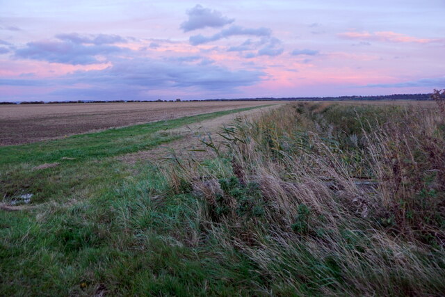
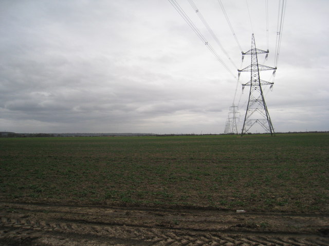
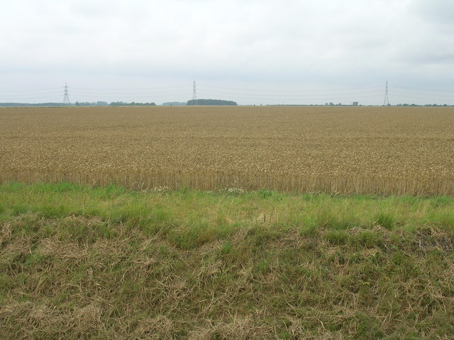
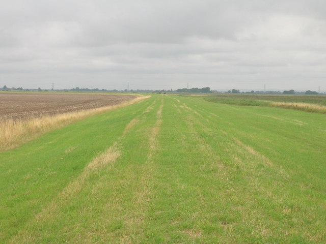
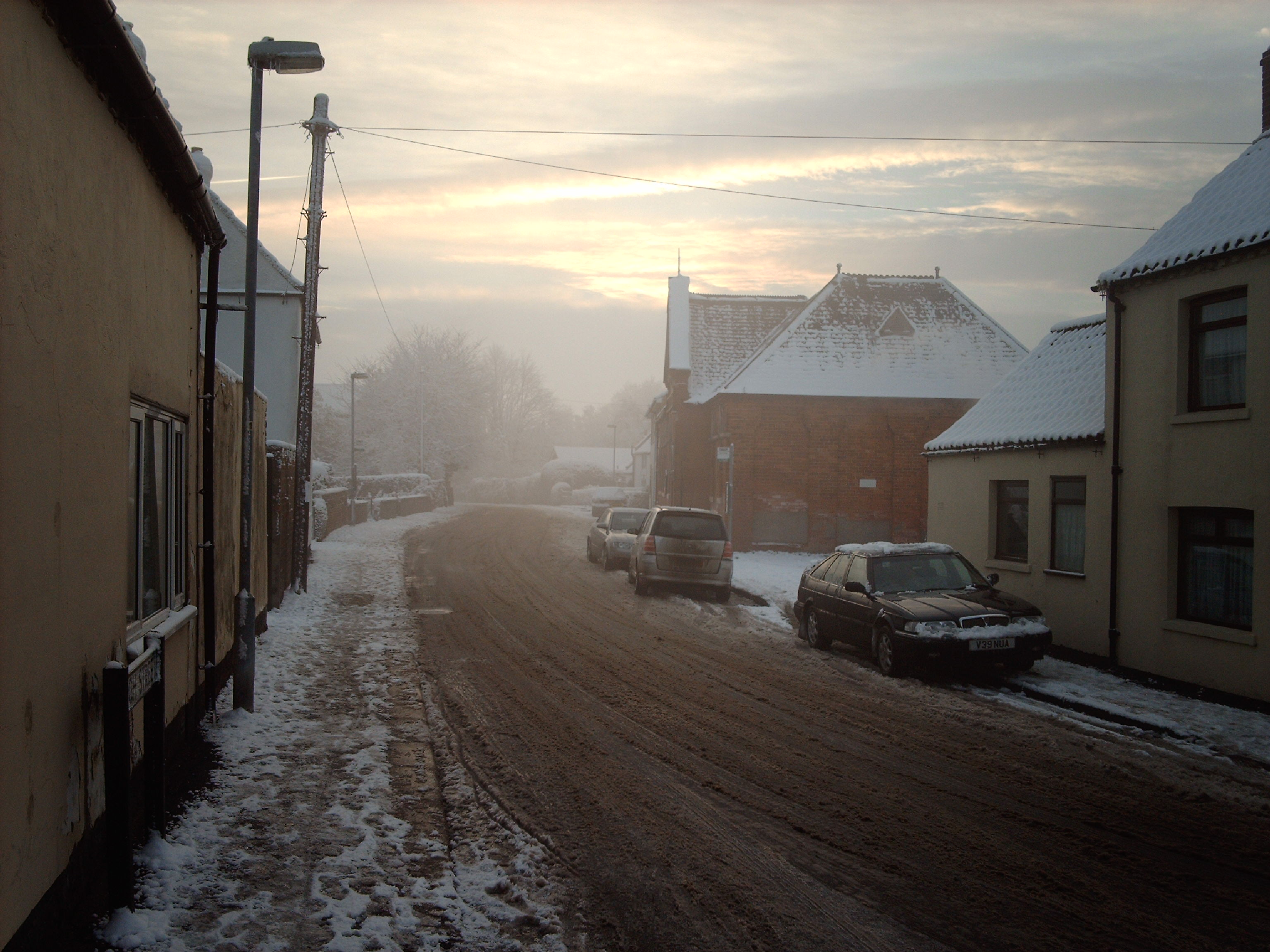
The village is surrounded by vast stretches of farmland, which contributes to its rural charm. Its history dates back to medieval times, and evidence of this can still be seen in the architecture of some of the older buildings. Adlingfleet is known for its quaint and well-preserved cottages, which add to its traditional English village atmosphere.
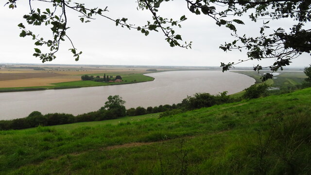
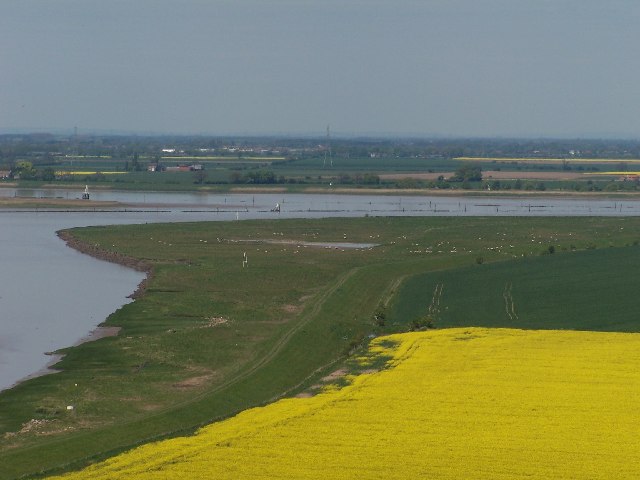
The River Ouse, which flows through the village, not only provides beautiful scenery but also offers opportunities for boating and fishing. It is a popular spot for anglers looking to catch pike, perch, and roach. Additionally, the river is used for recreational activities such as kayaking and canoeing.
The village lacks amenities such as shops or schools, but it benefits from its close proximity to the larger town of Goole, which is just a few miles away. Goole provides residents with a range of services and amenities, including shopping centers, healthcare facilities, and educational institutions.
Adlingfleet is a haven for nature lovers, with the nearby Humber Estuary Nature Reserve offering a variety of habitats for birdwatching and wildlife spotting. The reserve is home to numerous species of birds, including wading birds, ducks, and geese, making it a popular destination for bird enthusiasts and nature photographers.
In summary, Adlingfleet is a charming village in Yorkshire that offers a peaceful and idyllic setting, surrounded by farmland and with easy access to the River Ouse. It is a place where residents can enjoy the tranquility of rural life while still having convenient access to nearby towns and amenities.
If you have any feedback on the listing, please let us know in the comments section below.
Adlingfleet Images
Images are sourced within 2km of 53.679926/-0.716854 or Grid Reference SE8421. Thanks to Geograph Open Source API. All images are credited.


Adlingfleet is located at Grid Ref: SE8421 (Lat: 53.679926, Lng: -0.716854)
Division: West Riding
Unitary Authority: East Riding of Yorkshire
Police Authority: Humberside
What 3 Words
///eminent.hurtles.intro. Near Burton upon Stather, Lincolnshire
Nearby Locations
Related Wikis

Adlingfleet
Adlingfleet is a drained, fertile, former marshland village and former civil parish, now in the parish of Twin Rivers, in the East Riding of Yorkshire...

Twin Rivers, East Riding of Yorkshire
Twin Rivers is a civil parish in the East Riding of Yorkshire, England. It is situated along the south bank of the River Ouse to the east of the town...
Garthorpe, Lincolnshire
Garthorpe is a village and former civil parish, now in the parish of Garthorpe and Fockerby, in the North Lincolnshire district, in the ceremonial county...
Fockerby
Fockerby is a village in North Lincolnshire, England. It is situated approximately 8 miles (13 km) south-east from Goole and 1 mile (1.6 km) west from...

Fockerby railway station
Fockerby railway station was a station in Fockerby, Lincolnshire. It served as the terminus of a branch of the Axholme Joint Railway. It is now closed...

Blacktoft Sands RSPB reserve
Blacktoft Sands RSPB reserve is a nature reserve in the East Riding of Yorkshire, England. It is managed by the Royal Society for the Protection of Birds...

River Ouse, Yorkshire
The River Ouse ( OOZ) is a river in North Yorkshire, England. Hydrologically, the river is a continuation of the River Ure, and the combined length of...
Trent Falls
Trent Falls is the confluence of the River Ouse and the River Trent which forms the Humber between Lincolnshire and the East Riding of Yorkshire in England...
Nearby Amenities
Located within 500m of 53.679926,-0.716854Have you been to Adlingfleet?
Leave your review of Adlingfleet below (or comments, questions and feedback).