Shotley Common

Downs, Moorland in Suffolk Babergh

England

Shotley Common

B1456 Main Road, Chelmondiston
B1456 Main Road, Chelmondiston Credit: Robin Webster

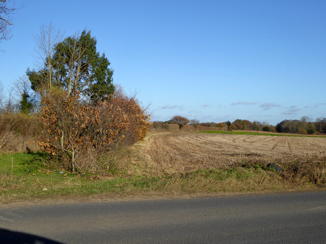
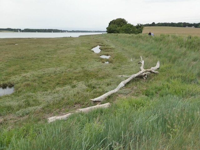
Shotley Common is a picturesque area located in Suffolk, England. Covering an area of approximately 200 hectares, it is a diverse landscape consisting of downs and moorland. The common is situated near the village of Shotley Gate and is bordered by the River Stour to the south.

The downs of Shotley Common are characterized by rolling hills and open grasslands. These areas are home to a variety of grasses and wildflowers, creating a vibrant and colorful display during the summer months. The downs also provide grazing land for livestock, contributing to the agricultural heritage of the region.

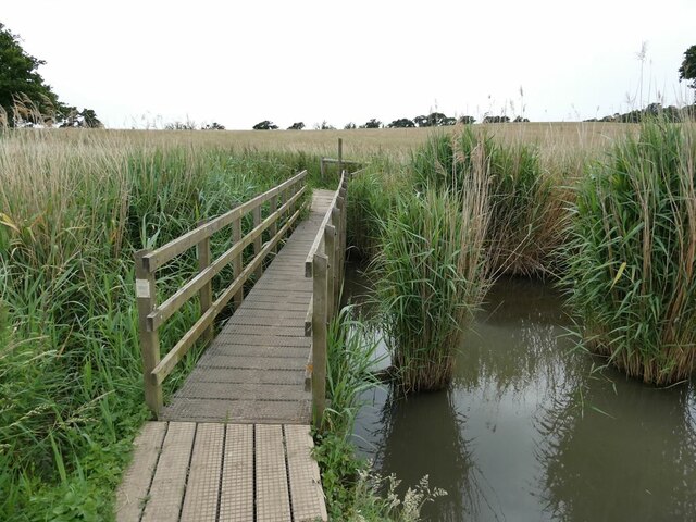
In contrast, the moorland sections of Shotley Common offer a different environment. Here, heather and gorse dominate the landscape, creating a unique and rugged atmosphere. The moorland is interspersed with small ponds and wetland areas, providing habitats for a range of bird species, including lapwings and curlews. It is also a popular spot for birdwatchers and nature enthusiasts.

Shotley Common is a haven for wildlife, with various species of mammals, reptiles, and insects calling it home. Visitors may spot deer roaming freely, as well as adders basking in the warm sunlight. The diverse habitats within Shotley Common make it an important site for conservation, and efforts are made to preserve its natural beauty and ecological significance.

The common is open to the public for recreational activities such as walking, picnicking, and nature observation. It offers stunning views of the surrounding countryside and the nearby River Stour, making it a popular destination for locals and tourists alike.

If you have any feedback on the listing, please let us know in the comments section below.

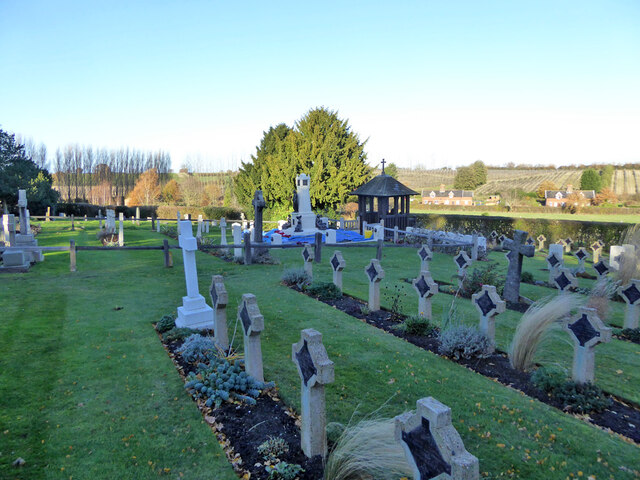
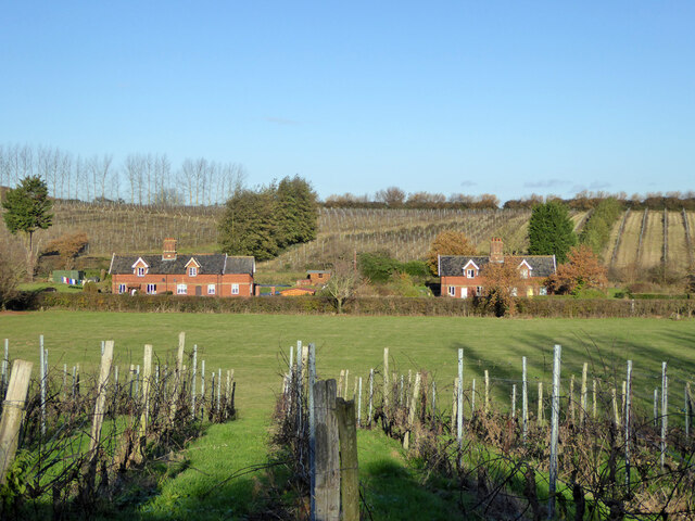
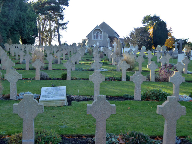
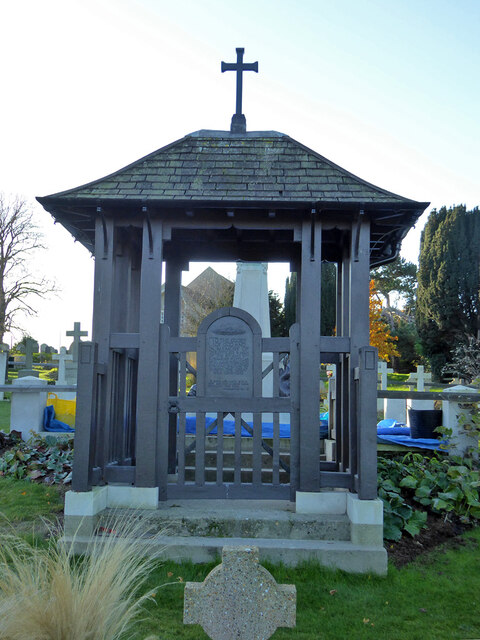
Shotley Common Images

Images are sourced within 2km of 51.986119/1.2370812 or Grid Reference TM2236. Thanks to Geograph Open Source API. All images are credited.

B1456 Main Road, Chelmondiston
Field north of B1456
Door, Shotley church St. Mary's is a grade II*(star) listed building. This door in the chancel is dated 1745, considered to be the rebuilding date of the whole chancel.
Door, Shotley church
St. Mary's is a grade II*(star) listed building. This door in the chancel is dated 1745, considered to be the rebuilding date of the whole chancel.
War memorial and war graves, Shotley During the 1939-1945 War, Shotley Gate was the Royal Naval Training Establishment H.M.S. Ganges. This is a special Royal Navy cemetery, next to the regular cemetery off to the right.
War memorial and war graves, Shotley
During the 1939-1945 War, Shotley Gate was the Royal Naval Training Establishment H.M.S. Ganges. This is a special Royal Navy cemetery, next to the regular cemetery off to the right.
Shotley church St. Mary's is a grade II*(star) listed building.
Shotley church
St. Mary's is a grade II*(star) listed building.
Navy graves, Shotley The eastern end of the extended churchyard in largely given over to Naval graves from the First World War. There is a special section and memorial for submariners.
Navy graves, Shotley
The eastern end of the extended churchyard in largely given over to Naval graves from the First World War. There is a special section and memorial for submariners.
Shotley vineyards and cottages on Frogs Alley
Navy graves, Shotley The eastern end of the extended churchyard in largely given over to Naval graves from the First World War.
Navy graves, Shotley
The eastern end of the extended churchyard in largely given over to Naval graves from the First World War.
Submariners' memorial lychgate, Shotley For those of the 8th and 9th submarine flotillas who died 1914-1919.
Submariners' memorial lychgate, Shotley
For those of the 8th and 9th submarine flotillas who died 1914-1919.
Plaque, submariners' memorial lychgate, Shotley
Submariners' memorial, Shotley For those of the 8th and 9th submarine flotillas who died 1914-1919. The plastic sheeting looks like it is protecting setting concrete from frost.
Submariners' memorial, Shotley
For those of the 8th and 9th submarine flotillas who died 1914-1919. The plastic sheeting looks like it is protecting setting concrete from frost.
Navy cemetery, Shotley During the 1939-1945 War, Shotley Gate was the Royal Naval Training Establishment H.M.S. Ganges. This is a special Royal Navy cemetery, next to the regular cemetery behind the camera the right.
Navy cemetery, Shotley
During the 1939-1945 War, Shotley Gate was the Royal Naval Training Establishment H.M.S. Ganges. This is a special Royal Navy cemetery, next to the regular cemetery behind the camera the right.
Shotley church and cemeteries To the left of the cemetery path, civilian graves, to the right, WWII naval graves.
Shotley church and cemeteries
To the left of the cemetery path, civilian graves, to the right, WWII naval graves.
Oldhall Road, Shotley From Shotley Church End towards Shotley and Shotley Gate.
Oldhall Road, Shotley
From Shotley Church End towards Shotley and Shotley Gate.
Lane towards Erwarton Erwarton Hall Farm is ahead.
Lane towards Erwarton
Erwarton Hall Farm is ahead.
Footbridge over the Cut The Cut is a drain  on  Levington Marsh.
Footbridge over the Cut
The Cut is a drain on Levington Marsh.
Driftwood on the shore of the River Orwell
Show me another place!

Shotley Common is located at Grid Ref: TM2236 (Lat: 51.986119, Lng: 1.2370812)

Administrative County: Suffolk

District: Babergh

Police Authority: Suffolk

What 3 Words

///airliners.spinning.laminated. Near Shotley Gate, Suffolk

Related Wikis

Orwell Estuary

Orwell Estuary is a 1,335.7 hectare biological Site of Special Scientific Interest which stretches along the River Orwell and its banks between Felixstowe...
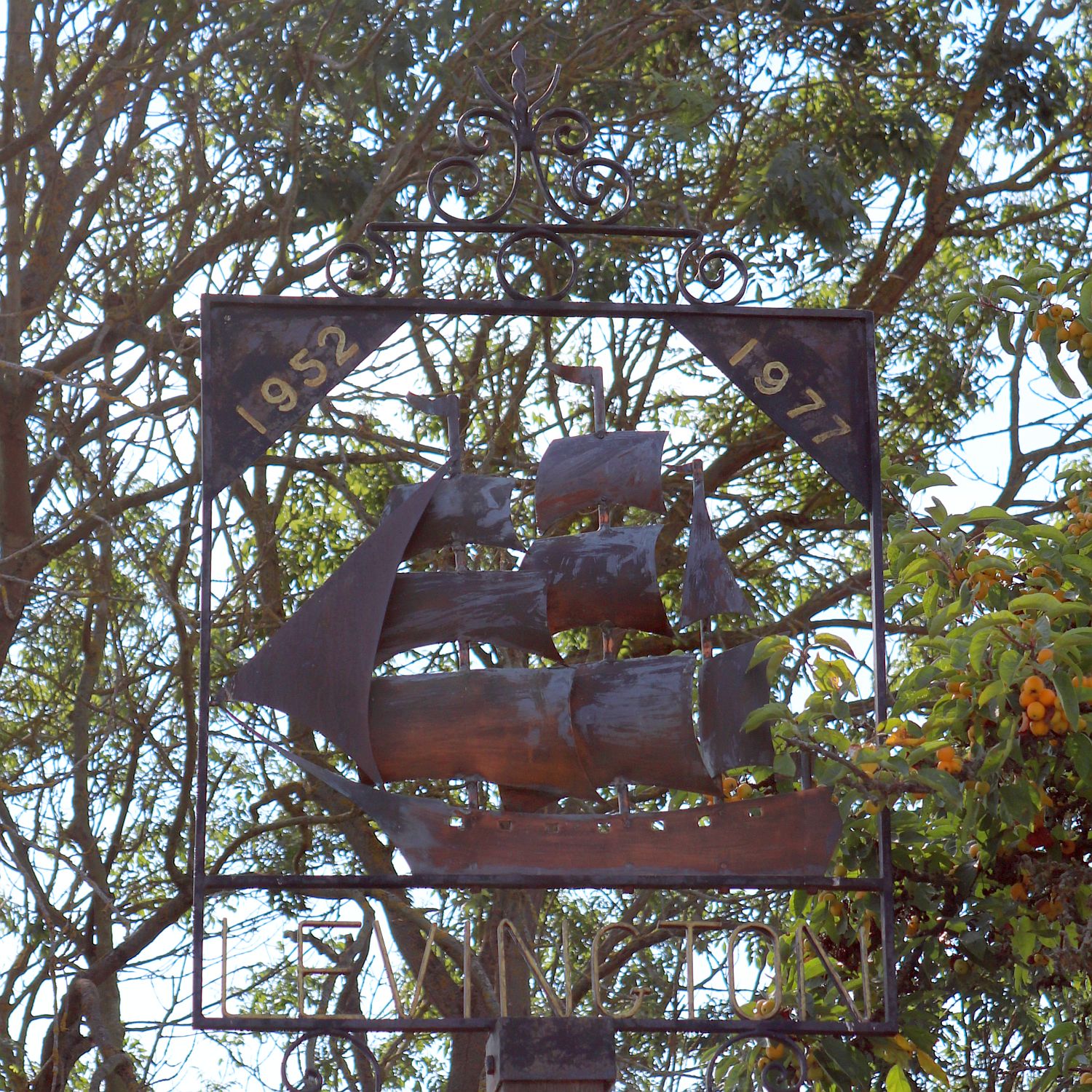
Levington

Levington is a small village in the county of Suffolk, England in the East Suffolk district. The population of the parish including Stratton Hall at the...

Chelmondiston

Chelmondiston is a small village and civil parish in Suffolk, England located on the Shotley Peninsula, five miles south-east of Ipswich. The hamlet of...

Pin Mill

Pin Mill is a hamlet on the south bank of the tidal River Orwell, on the outskirts of the village of Chelmondiston, on the Shotley peninsula in southern...

Nearby Amenities

Located within 500m of 51.986119,1.2370812
Bus Stop
Wades Lane
Local Ref: opp
Naptan AtcoCode: 390010001
Naptan Bearing: NW
Naptan CommonName: Wades Lane
Naptan Landmark: Wades Lane
Naptan NaptanCode: sufadada
Naptan Street: B1456
Naptan Verified: no
Source: naptan_import
Lat/Long: 51.983734/1.2308944
Bus Stop
Wades Lane
Local Ref: adj
Naptan AtcoCode: 390010002
Naptan Bearing: SE
Naptan CommonName: Wades Lane
Naptan Landmark: Wades Lane
Naptan NaptanCode: sufadadg
Naptan Street: B1456
Naptan Verified: no
Source: naptan_import
Lat/Long: 51.9837296/1.2310544
Give Way
Direction: forward
Lat/Long: 51.9835704/1.2310914
The data included in this document is from www.openstreetmap.org. The data is made available under ODbL.

Have you been to Shotley Common?

Leave your review of Shotley Common below (or comments, questions and feedback).