Fritton Common
Downs, Moorland in Norfolk South Norfolk
England
Fritton Common

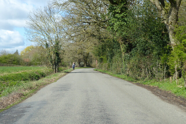
Fritton Common is a picturesque area located in Norfolk, England. It encompasses a diverse landscape of downs and moorland, making it a popular destination for nature lovers and outdoor enthusiasts. With its rolling hills, open fields, and heathland, Fritton Common offers stunning panoramic views and a tranquil atmosphere.
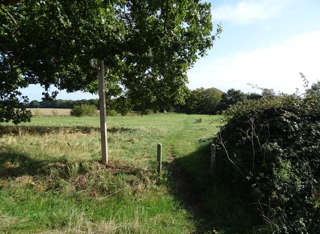
The common is home to a wide variety of plant and animal species, including several rare and protected species. It is a haven for birdwatching, with the likes of skylarks, lapwings, and stonechats frequently spotted in the area. The mix of grassland and heathland habitats also attracts a range of butterflies and other insects.
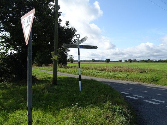
Covering an area of approximately 200 hectares, Fritton Common provides ample space for recreational activities. It offers numerous walking trails, allowing visitors to explore the natural beauty of the surroundings. The common is also a popular spot for picnics, horse riding, and dog walking.
Managed by the Norfolk Wildlife Trust, Fritton Common is committed to the conservation and preservation of the local ecosystem. Efforts are made to maintain the biodiversity of the area and protect its unique habitats. The common is an important site for nature conservation, and visitors are encouraged to respect the wildlife and follow designated paths to minimize disturbance.
Overall, Fritton Common is a captivating location that showcases the natural beauty of Norfolk. Its mixture of downs, moorland, and diverse wildlife make it a must-visit destination for anyone seeking a true connection with nature.
If you have any feedback on the listing, please let us know in the comments section below.
Fritton Common Images
Images are sourced within 2km of 52.481605/1.2732733 or Grid Reference TM2292. Thanks to Geograph Open Source API. All images are credited.


Fritton Common is located at Grid Ref: TM2292 (Lat: 52.481605, Lng: 1.2732733)
Administrative County: Norfolk
District: South Norfolk
Police Authority: Norfolk
What 3 Words
///deserved.period.rekindle. Near Long Stratton, Norfolk
Nearby Locations
Related Wikis

Fritton Common, Morningthorpe
Fritton Common, Morningthorpe is a 20.5-hectare (51-acre) biological Site of Special Scientific Interest east of Long Stratton in Norfolk. This damp acidic...

Shelton Hall (Norfolk)
Shelton Hall is a large estate in the village of Shelton, Norfolk, England. The estate has around 72 acres (290,000 m2) of surrounding fields, the names...

Shelton and Hardwick
Shelton and Hardwick is a civil parish in South Norfolk, England, made up of the villages of Shelton and Hardwick. It lies about 3 km south-east of Long...

Hempnall
Hempnall is a village and civil parish in the English county of Norfolk. It covers an area of 14.82 km2 (5.72 sq mi) and had a population of 1,310 in 522...
Nearby Amenities
Located within 500m of 52.481605,1.2732733Have you been to Fritton Common?
Leave your review of Fritton Common below (or comments, questions and feedback).