Cowslip Meadow
Downs, Moorland in Kent Canterbury
England
Cowslip Meadow
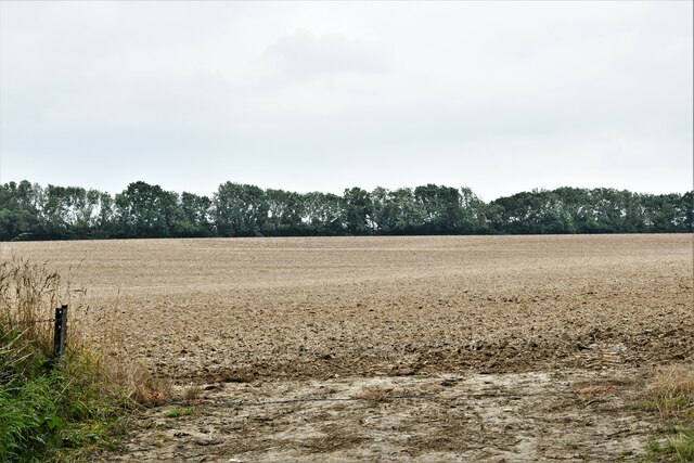
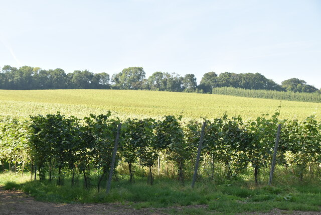
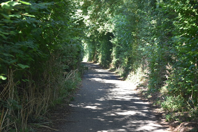
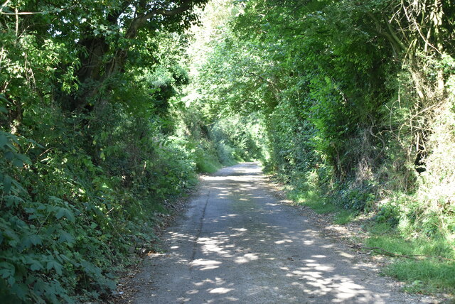
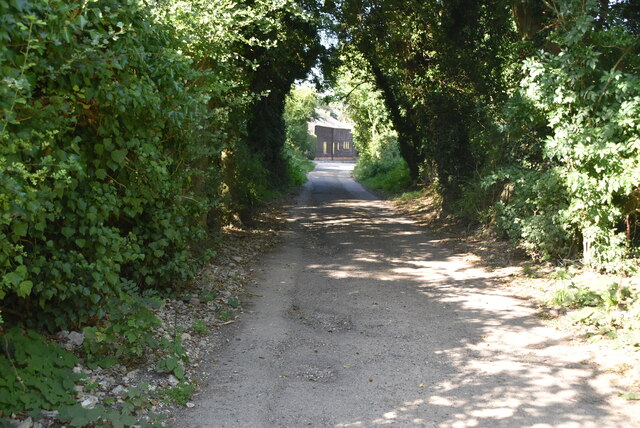
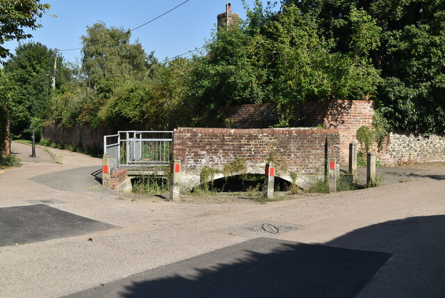
Cowslip Meadow is a picturesque nature reserve located in Kent, England. Situated in the heart of the Kent Downs, the meadow spans across a vast expanse of rolling hills and moorland, offering visitors a stunning panoramic view of the surrounding countryside.
The meadow is renowned for its abundant population of cowslip flowers, which bloom in the spring, covering the landscape with their vibrant yellow hues. These delicate wildflowers attract a variety of pollinators, including bees, butterflies, and other insects, creating a thriving ecosystem within the meadow.
The diverse flora and fauna found in Cowslip Meadow make it a popular destination for nature enthusiasts and birdwatchers alike. The meadow is home to a range of bird species, including skylarks, meadow pipits, and kestrels, which can often be seen soaring above the grassy fields.
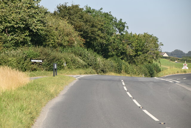
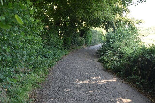
In addition to its natural beauty, Cowslip Meadow offers several walking trails and footpaths, allowing visitors to explore the area at their own pace. These paths wind through the meadow, providing opportunities to observe the local wildlife and enjoy the tranquil surroundings.
The meadow is also an important site for conservation, with efforts in place to protect and preserve its unique ecosystem. Conservationists work tirelessly to maintain the meadow's biodiversity, ensuring the longevity of its flora and fauna.
Overall, Cowslip Meadow is a haven for nature lovers, offering a serene escape from the bustling city life. Its stunning landscapes, rich biodiversity, and peaceful atmosphere make it a must-visit destination for anyone seeking to reconnect with nature in the heart of Kent.
If you have any feedback on the listing, please let us know in the comments section below.
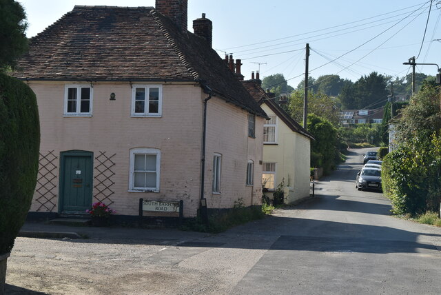
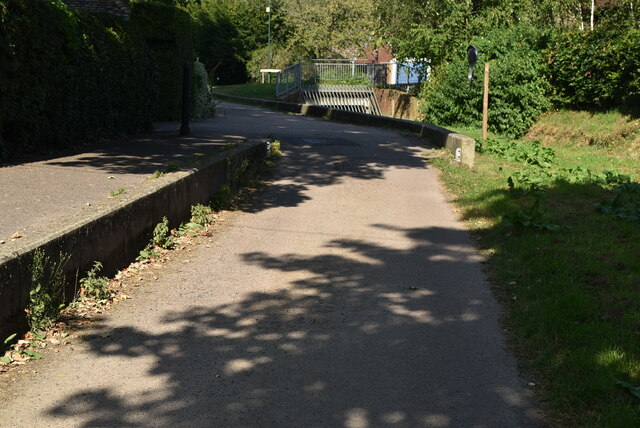
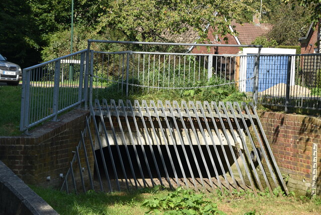
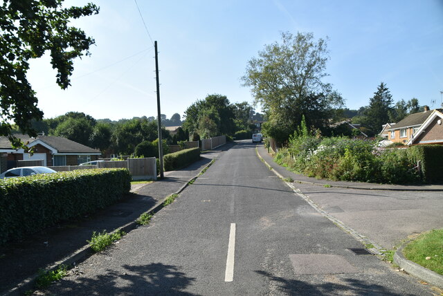
Cowslip Meadow Images
Images are sourced within 2km of 51.195216/1.1797097 or Grid Reference TR2248. Thanks to Geograph Open Source API. All images are credited.


Cowslip Meadow is located at Grid Ref: TR2248 (Lat: 51.195216, Lng: 1.1797097)
Administrative County: Kent
District: Canterbury
Police Authority: Kent
What 3 Words
///giant.interrupt.sideboard. Near Barham, Kent
Nearby Locations
Related Wikis
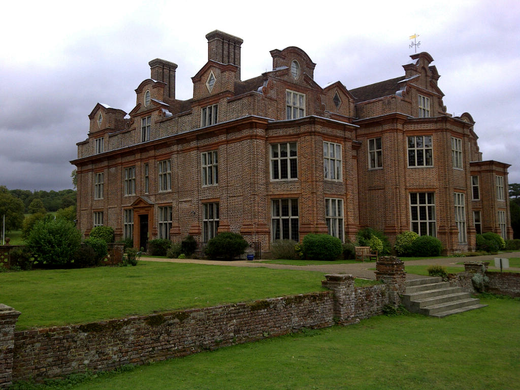
Broome Park
Broome Park is a country house in Barham, within the City of Canterbury, Kent, England. It was built for Basil Dixwell between 1635 and 1638. In the early...

Woolage Green
Woolage Green is a small hamlet, situated about 7 miles (11 km) south-east of Canterbury, Kent, England, 1 mile to the east of the A2 road. Together with...
Denton, Kent
Denton is a village and former civil parish, now in the parish of Denton with Wootton, in the Dover district of Kent, England. In 1961 the parish had a...

Woolage Village
Woolage Village is a former mining village situated midway between Canterbury and Dover in the English county of Kent. It is 1 mile (1.6 km) to the east...

Womenswold
Womenswold is a village and civil parish centred 7 miles (11 km) south-east of Canterbury, Kent, England, 1 mile to the east of the A2 road. The parish...

Barham railway station
Barham was a station on the Elham Valley Railway. It opened in 1887 and closed to passengers in 1940 and freight in 1947. == History == The station opened...

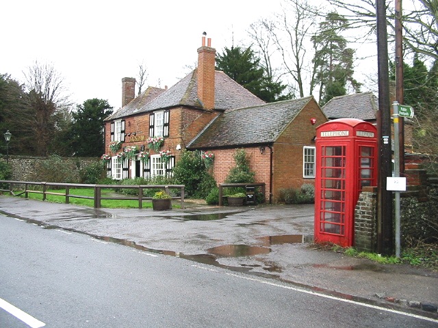
Barham, Kent
Barham is a village and civil parish in the City of Canterbury district of Kent, England. Barham village is approximately 6 miles (10 km) south-east from...
Heart's Delight, City of Canterbury
Heart's Delight is a settlement located near Barham in Kent, England. There is a similarly-known settlement near Sittingbourne in the Swale district of...
Nearby Amenities
Located within 500m of 51.195216,1.1797097Have you been to Cowslip Meadow?
Leave your review of Cowslip Meadow below (or comments, questions and feedback).