Bramling Downs
Downs, Moorland in Kent Canterbury
England
Bramling Downs

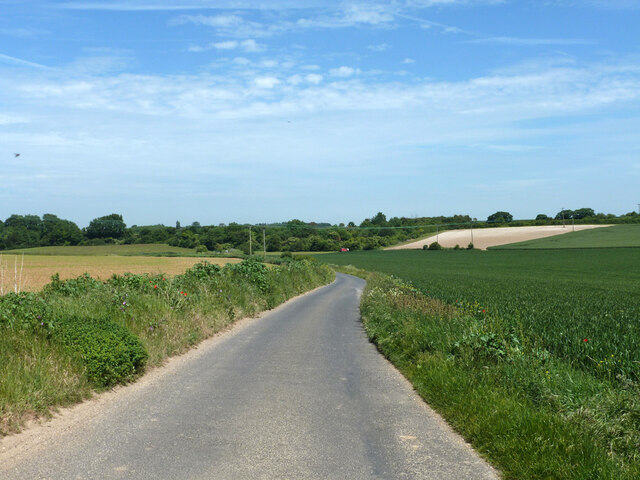
Bramling Downs is a picturesque area located in Kent, England. It is part of the larger Kent Downs, which is an Area of Outstanding Natural Beauty (AONB). The downs are characterized by rolling hills, open grasslands, and breathtaking views, making it a popular destination for nature enthusiasts and hikers.
Covering an area of approximately 10 square kilometers, Bramling Downs is home to a diverse range of flora and fauna. The downs are known for their rich biodiversity, with various species of wildflowers, butterflies, and birds that can be spotted throughout the year. In fact, the area is designated as a Special Protection Area (SPA) due to its importance for bird conservation.
The landscape of Bramling Downs is a mix of open grasslands, heathland, and woodland, providing a variety of habitats for different species. The area is also crisscrossed by a network of footpaths and bridleways, making it ideal for walking, cycling, and horse riding. Visitors can explore the downs and enjoy the stunning views of the surrounding countryside.
The downs are also of historical significance, with several archaeological sites scattered across the area. These include ancient burial mounds, Iron Age hillforts, and remnants of Roman settlements, providing a glimpse into the region's rich past.
Overall, Bramling Downs offers a tranquil escape from the hustle and bustle of city life, providing visitors with the opportunity to immerse themselves in the beauty of nature and explore the historical heritage of the Kent Downs.
If you have any feedback on the listing, please let us know in the comments section below.
Bramling Downs Images
Images are sourced within 2km of 51.257038/1.1836754 or Grid Reference TR2255. Thanks to Geograph Open Source API. All images are credited.


Bramling Downs is located at Grid Ref: TR2255 (Lat: 51.257038, Lng: 1.1836754)
Administrative County: Kent
District: Canterbury
Police Authority: Kent
What 3 Words
///tinny.vowing.faded. Near Littlebourne, Kent
Nearby Locations
Related Wikis

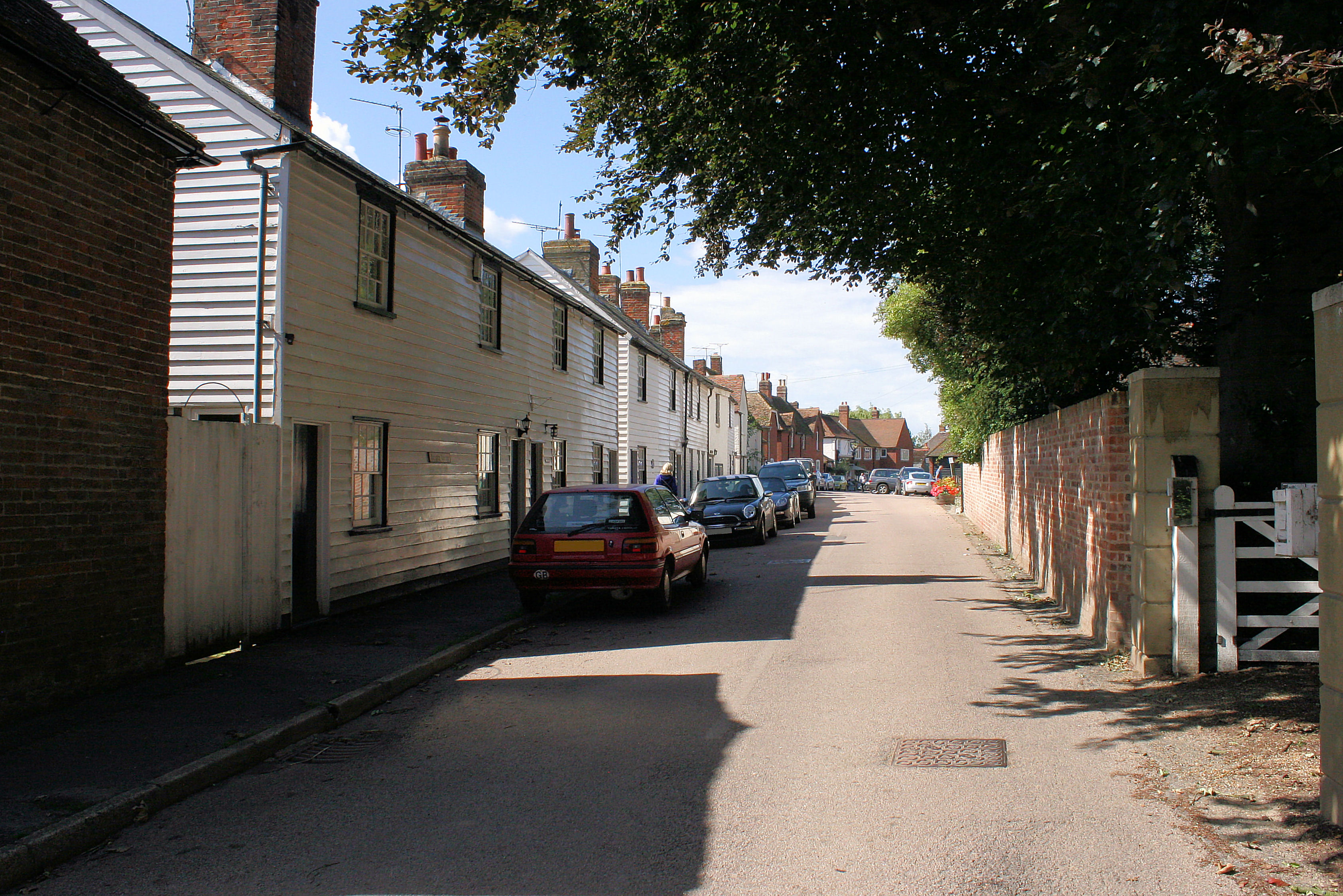
Bramling
Bramling is a hamlet five miles (8 km) east of Canterbury in Kent, England. It lies on the A257 road between Littlebourne and Wingham. The local public...
Ickham and Well
Ickham and Well is a mostly rural civil parish east of Canterbury in Kent, South East England. The parish covers the villages of Ickham and Bramling just...

Adisham
Adisham (formerly Adesham) is a village and civil parish in the English county of Kent. It is twinned with Campagne-lès-Hesdin in France. == Geography... ==
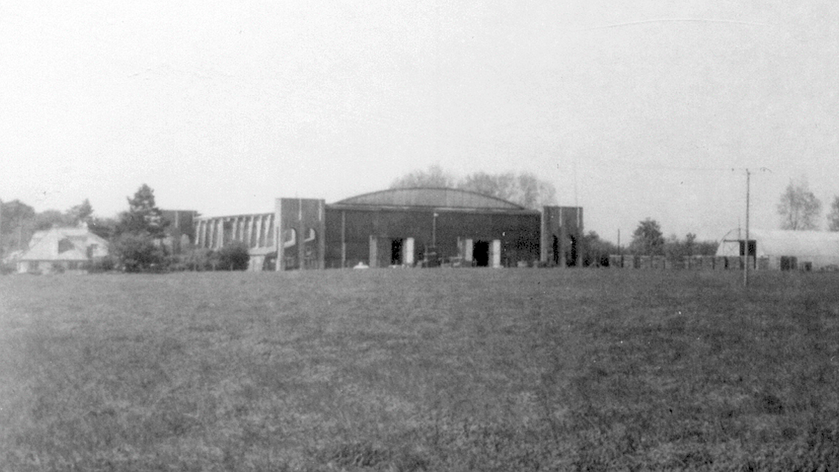
Bekesbourne Aerodrome
Bekesbourne Aerodrome was an airport located at the southeast edge of the village of Bekesbourne, southeast of Canterbury, Kent. It operated from 1916...
Nearby Amenities
Located within 500m of 51.257038,1.1836754Have you been to Bramling Downs?
Leave your review of Bramling Downs below (or comments, questions and feedback).