Wick Wood
Wood, Forest in Kent Canterbury
England
Wick Wood
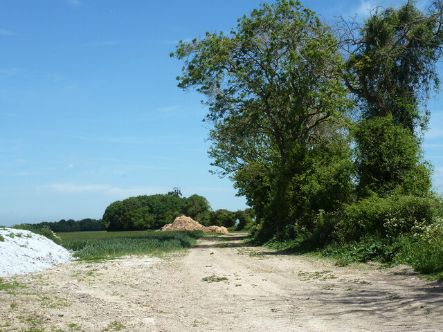
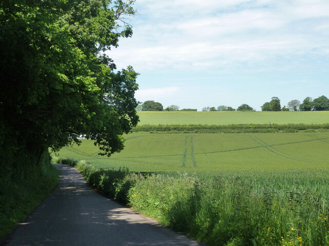
Wick Wood, located in Kent, England, is a picturesque forest area that spans over a vast expanse of land. This woodland is renowned for its natural beauty, diverse wildlife, and tranquil surroundings, making it a popular destination for nature enthusiasts and hikers alike.
The wood is primarily composed of native broadleaf trees, such as oak, beech, and ash, which create a dense canopy overhead, providing shade and shelter for the rich undergrowth that thrives beneath. This thriving ecosystem is home to a variety of plant species, including bluebells, foxgloves, and ferns, which add vibrant pops of color to the forest floor during the spring and summer months.
The woodland also serves as a habitat for numerous animal species. Visitors may have the chance to spot deer, foxes, badgers, and a wide range of bird species, including woodpeckers and owls that call Wick Wood their home. The serene atmosphere and the abundance of wildlife make it an ideal location for birdwatching and wildlife photography.
Trails and footpaths wind their way through the wood, offering visitors the opportunity to explore its beauty. These pathways are well-maintained and provide easy access to various parts of the forest, making it suitable for individuals of all ages and abilities.
Wick Wood, with its idyllic scenery and diverse ecosystem, offers a peaceful retreat from the hustle and bustle of daily life. Whether one seeks a leisurely stroll, a birdwatching adventure, or simply a moment of tranquility in nature, Wick Wood provides an ideal setting for all.
If you have any feedback on the listing, please let us know in the comments section below.
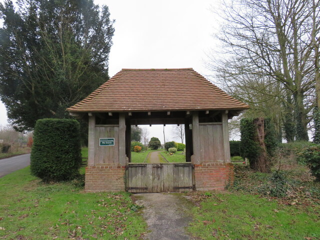
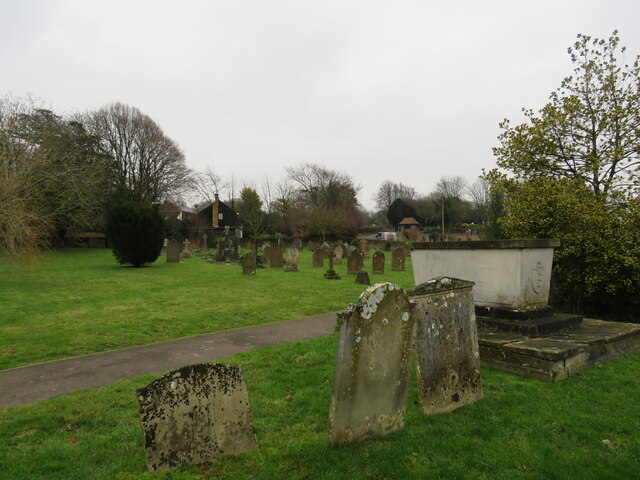
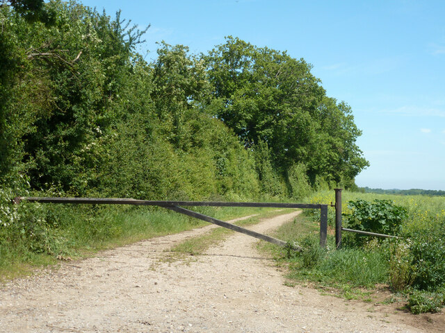
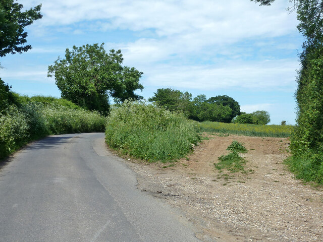
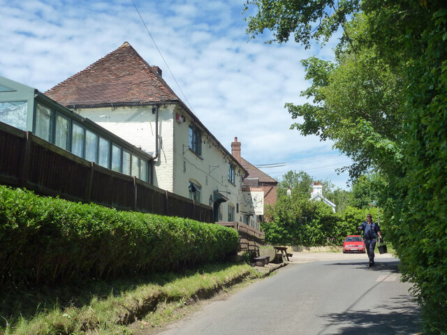
Wick Wood Images
Images are sourced within 2km of 51.196517/1.1860984 or Grid Reference TR2248. Thanks to Geograph Open Source API. All images are credited.


Wick Wood is located at Grid Ref: TR2248 (Lat: 51.196517, Lng: 1.1860984)
Administrative County: Kent
District: Canterbury
Police Authority: Kent
What 3 Words
///flush.hours.detection. Near Barham, Kent
Nearby Locations
Related Wikis
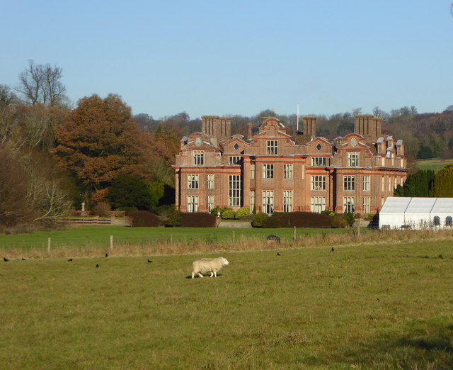
Broome Park
Broome Park is a country house in Barham, within the City of Canterbury, Kent, England. It was built for Basil Dixwell between 1635 and 1638. In the early...

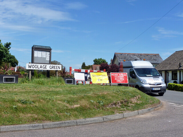
Woolage Green
Woolage Green is a small hamlet, situated about 7 miles (11 km) south-east of Canterbury, Kent, England, 1 mile to the east of the A2 road. Together with...

Woolage Village
Woolage Village is a former mining village situated midway between Canterbury and Dover in the English county of Kent. It is 1 mile (1.6 km) to the east...

Womenswold
Womenswold is a village and civil parish centred 7 miles (11 km) south-east of Canterbury, Kent, England, 1 mile to the east of the A2 road. The parish...
Nearby Amenities
Located within 500m of 51.196517,1.1860984Have you been to Wick Wood?
Leave your review of Wick Wood below (or comments, questions and feedback).