Lion Plantation
Wood, Forest in Norfolk Broadland
England
Lion Plantation
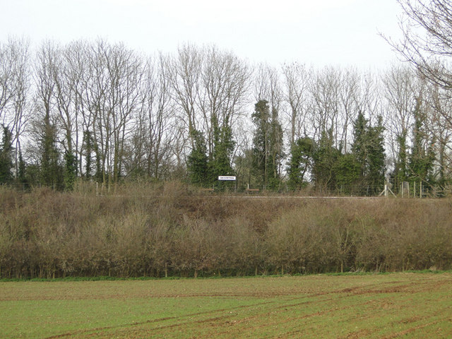
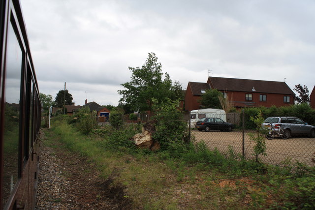
Lion Plantation, located in Norfolk, is a sprawling wood and forest area renowned for its natural beauty and diverse wildlife. Spanning approximately [insert size] hectares, it is a popular destination for nature enthusiasts, hikers, and photographers.
The plantation boasts a rich variety of tree species, including oak, beech, birch, and pine, creating a lush and vibrant ecosystem. The dense canopy of the trees provides ample shade and shelter for a plethora of wildlife, making it a prime spot for birdwatching and animal sightings.
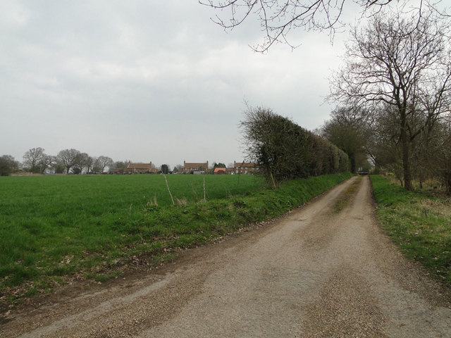
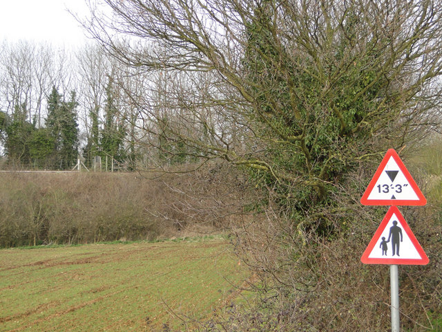
Visitors to Lion Plantation can explore a network of well-maintained trails that wind through the woods, offering a peaceful and immersive experience in nature. These trails cater to different levels of difficulty, accommodating both casual walkers and more experienced hikers.
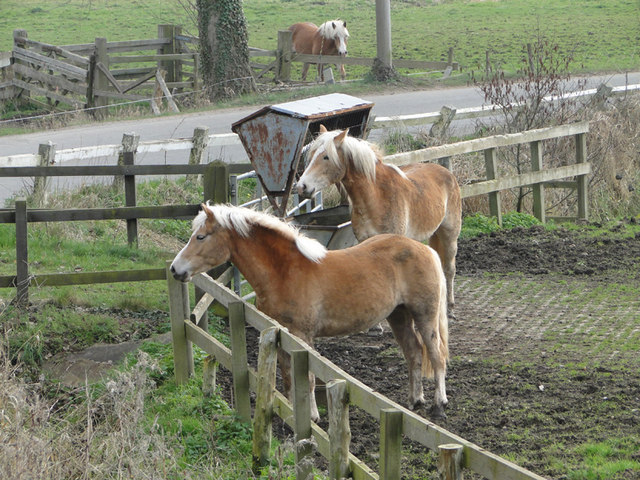
The plantation is home to a diverse range of wildlife, with sightings of deer, foxes, badgers, and rabbits being common. Bird lovers will be delighted to spot species such as woodpeckers, owls, and various songbirds in the area. Nature photographers are often drawn to Lion Plantation due to the opportunities it offers to capture stunning images of flora and fauna.
To ensure the preservation of this unique ecosystem, Lion Plantation is managed by a dedicated team of conservationists and foresters. They undertake regular maintenance activities, such as tree planting and removal of invasive species, to promote the health and sustainability of the woodland.
Whether one seeks solitude in nature, an adventurous hike, or a chance to observe wildlife, Lion Plantation in Norfolk is a must-visit destination for nature enthusiasts.
If you have any feedback on the listing, please let us know in the comments section below.
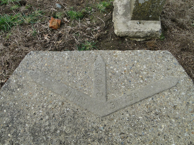
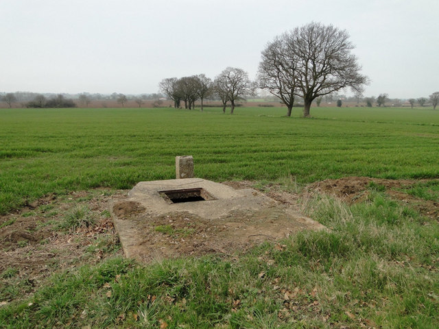
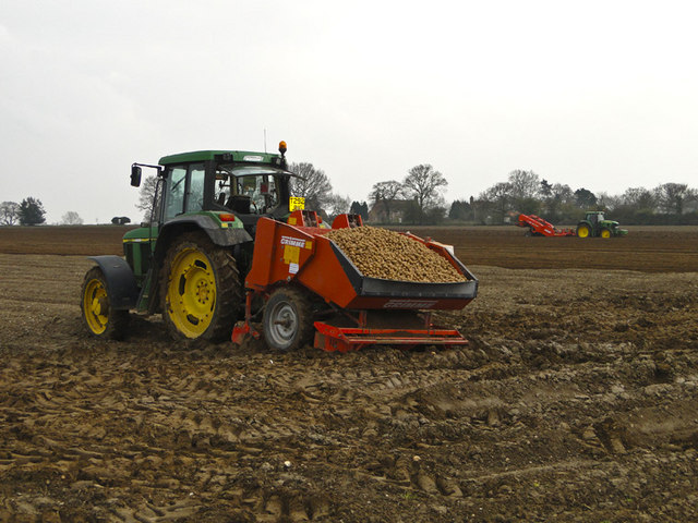
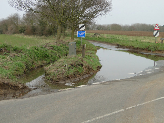
Lion Plantation Images
Images are sourced within 2km of 52.754156/1.2985625 or Grid Reference TG2222. Thanks to Geograph Open Source API. All images are credited.


Lion Plantation is located at Grid Ref: TG2222 (Lat: 52.754156, Lng: 1.2985625)
Administrative County: Norfolk
District: Broadland
Police Authority: Norfolk
What 3 Words
///chuckle.subject.manly. Near Buxton, Norfolk
Nearby Locations
Related Wikis

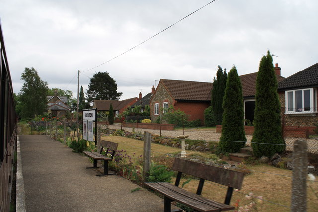
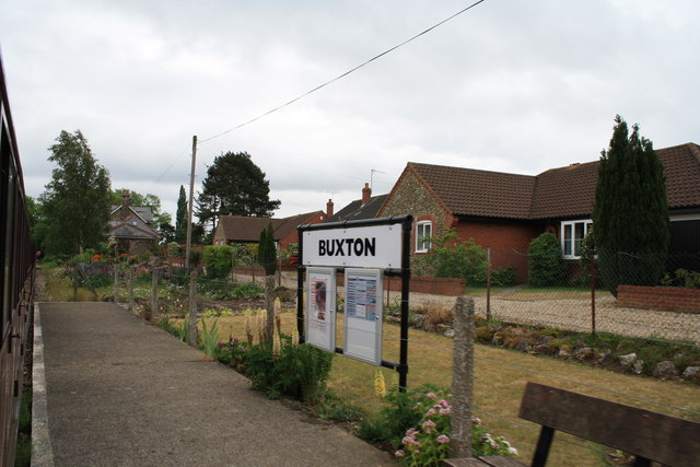
Buxton, Norfolk
Buxton is a village in the parish of Buxton with Lamas, in the Broadland district of the county of Norfolk, England. It is located between Norwich and...

Bure Valley Path
The Bure Valley Path is a 9-mile (14 km) long walking trail and cycling trail in Norfolk, England. It runs alongside the Bure Valley Railway, a heritage...

Buxton Lamas railway station
Buxton Lamas was a railway station in Buxton with Lamas, Norfolk. It was located near the Bure Valley Railway's present Buxton station. == References ==

Buxton railway station (Norfolk)
Buxton railway station serves the village of Buxton in Norfolk and is served by the Bure Valley Railway.

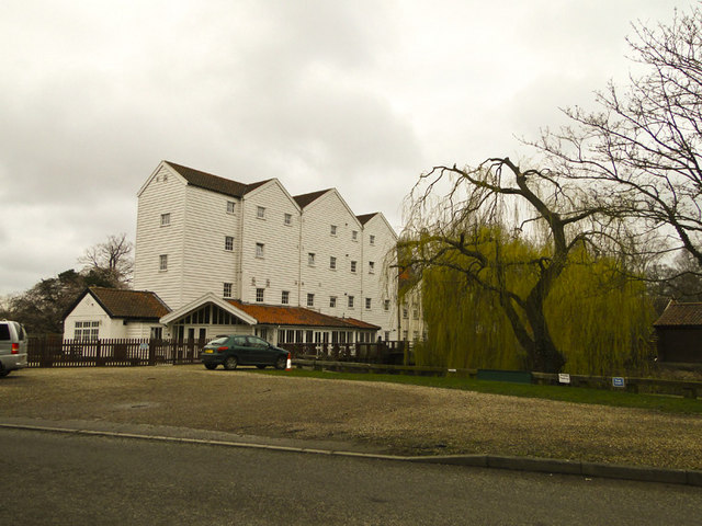
Buxton Watermill
Buxton Mill, is located on the River Bure about 0.5 miles (0.80 km) east of the village of Buxton, Norfolk, and is in the hamlet of Lamas, Norfolk. A watermill...

Brampton, Norfolk
Brampton is a small village and parish in the county of Norfolk, England, in the Bure Valley, east of Aylsham. == History == Brampton was the subject of...
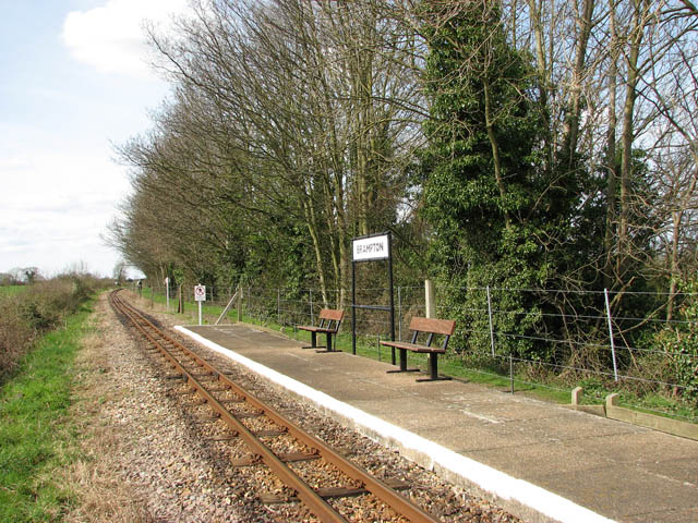
Brampton railway station (Norfolk)
Brampton railway station serves the village of Brampton in Norfolk and is operated by the Bure Valley Railway, a narrow gauge heritage railway operation...

Oxnead
Oxnead is a lost settlement and former civil parish, now in the parish of Brampton, in the Broadland district, in the county of Norfolk, England. It is...
Nearby Amenities
Located within 500m of 52.754156,1.2985625Have you been to Lion Plantation?
Leave your review of Lion Plantation below (or comments, questions and feedback).