Belt Wood

Wood, Forest in Norfolk Broadland

England

Belt Wood

Housing off Mill Road, Marsham
Housing off Mill Road, Marsham Credit: Adrian S Pye

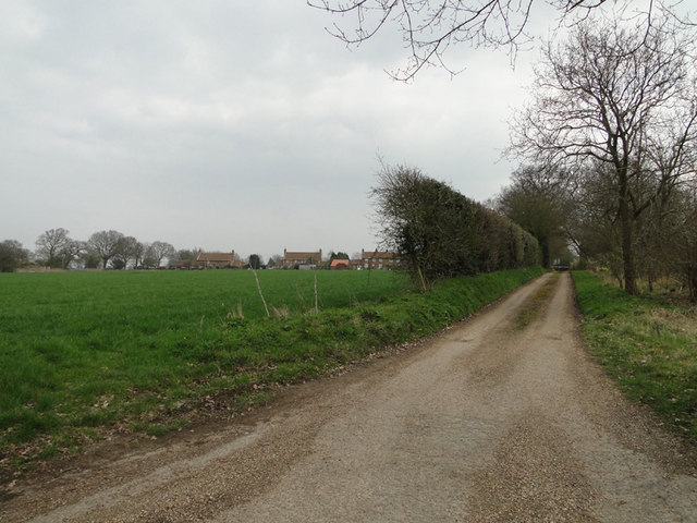
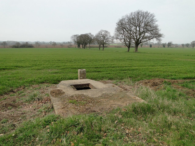
Belt Wood is a picturesque forest located in Norfolk, England. Situated in the heart of the Norfolk Broads, it covers an area of approximately 100 acres and is a popular destination for nature lovers and outdoor enthusiasts.

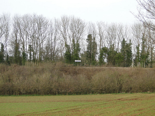
The woodland is primarily composed of mixed deciduous trees, including oak, beech, and ash, which create a diverse and vibrant ecosystem. The forest floor is covered in a lush carpet of ferns, bluebells, and wildflowers, offering a stunning display of colors throughout the year.

Belt Wood is home to a wide variety of wildlife, making it an ideal spot for birdwatching and nature photography. Visitors may catch a glimpse of rare species such as woodpeckers, tawny owls, and kingfishers. There are also several walking trails that wind through the forest, providing opportunities for peaceful strolls and exploration.

The wood is managed by the Norfolk Wildlife Trust, which ensures the preservation of its natural beauty and biodiversity. The organization conducts regular conservation work, including tree planting and habitat restoration, to maintain the health of the forest.

Access to Belt Wood is free and open to the public all year round. The forest has a car park and picnic area, allowing visitors to enjoy a day surrounded by nature. Whether it's for a leisurely walk, birdwatching, or simply escaping the hustle and bustle of everyday life, Belt Wood offers a tranquil retreat for nature enthusiasts in Norfolk.

If you have any feedback on the listing, please let us know in the comments section below.
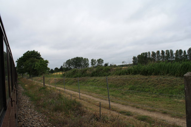
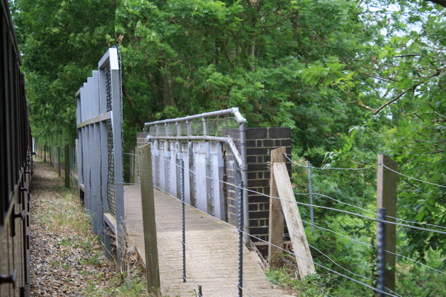
Belt Wood Images

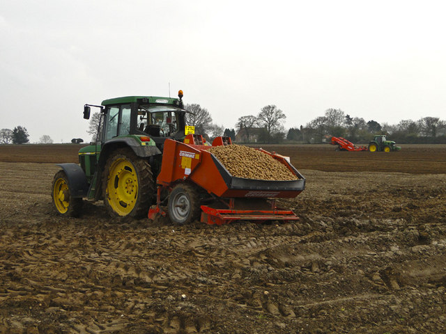
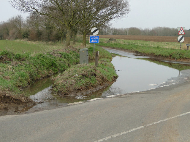
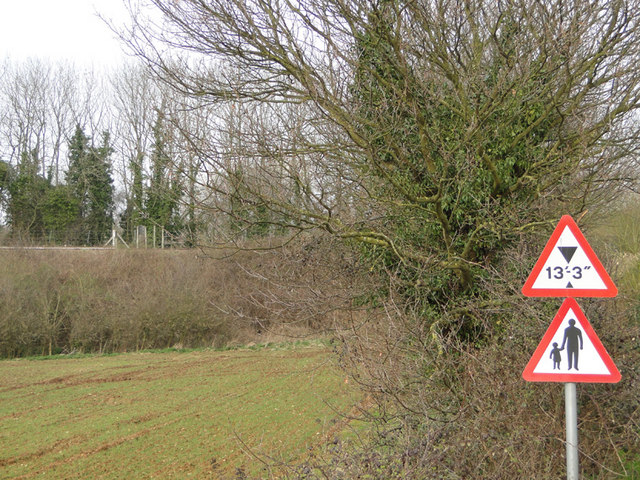
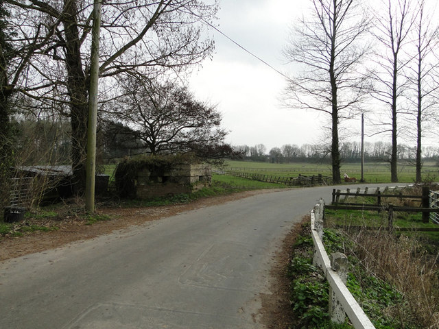
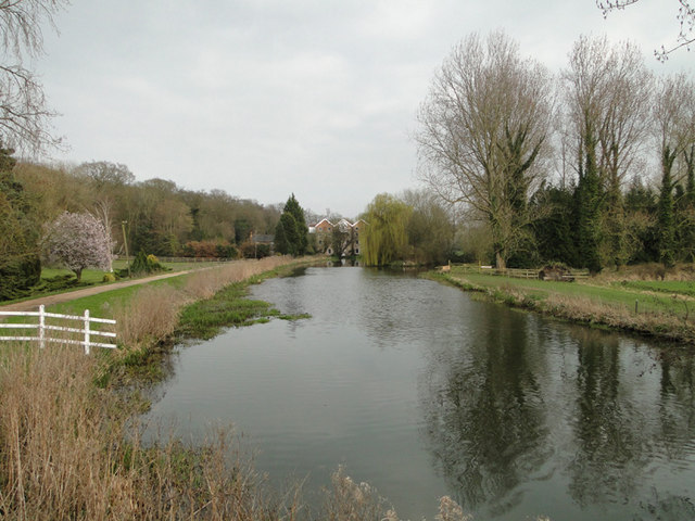
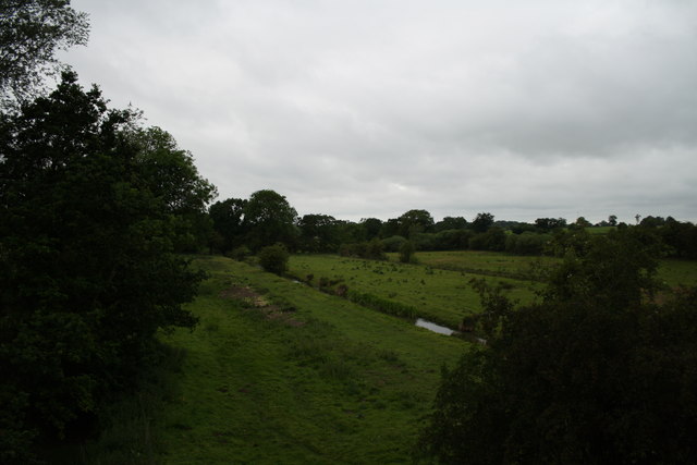
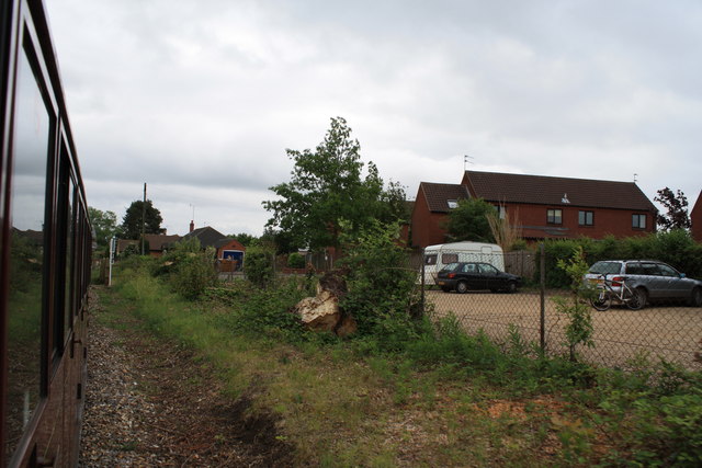
Images are sourced within 2km of 52.765426/1.2991629 or Grid Reference TG2223. Thanks to Geograph Open Source API. All images are credited.

Housing off Mill Road, Marsham
Manhole for an irrigation pump On the concrete pad is the plan for the irrigation outlets which can be seen here > <a href="https://www.geograph.org.uk/photo/2329748">TG2123 : Plan of irrigation outlets cemented onto the top of the pump</a>
Manhole for an irrigation pump
On the concrete pad is the plan for the irrigation outlets which can be seen here > TG2123 : Plan of irrigation outlets cemented onto the top of the pump
Plan of irrigation outlets cemented onto the top of the pump For a full view goto > <a title="https://www.geograph.org.uk/photo/2329742" href="https://www.geograph.org.uk/photo/2329742">Link</a>
Plan of irrigation outlets cemented onto the top of the pump
For a full view goto > Link
Irrigation manhole on the edge of the field See also <a href="https://www.geograph.org.uk/photo/2329748">TG2123 : Plan of irrigation outlets cemented onto the top of the pump</a>
Irrigation manhole on the edge of the field
Potato planting at Oxnead The hopper on the tractor is full of potatoes ready for planting while the tractor in the background is putting a fine tilth on the soil and creating the rows.
Potato planting at Oxnead
The hopper on the tractor is full of potatoes ready for planting while the tractor in the background is putting a fine tilth on the soil and creating the rows.
Flooded road near Brampton station
Brampton Station from the road The station is built on an embankment and the road passes beneath the line nearby.
Brampton Station from the road
The station is built on an embankment and the road passes beneath the line nearby.
Roadsigns near Brampton Station... ...the line of which can be seen in the background on the left of the picture.
Roadsigns near Brampton Station...
...the line of which can be seen in the background on the left of the picture.
Pillbox near King's Beck, Oxnead
River Bure at King's Beck, Oxnead.. ...with the watermill in the background.
River Bure at King's Beck, Oxnead..
...with the watermill in the background.
The Mermaid This is a view of the stream shown on the map as The Mermaid from a Bure Valley Railway train.
The Mermaid
This is a view of the stream shown on the map as The Mermaid from a Bure Valley Railway train.
Approaching Buxton The approach to Buxton Station is seen from a Bure Valley Railway train heading towards Wroxham. On the left the footpath level crossing can just be made out. Adjacent to the station is a car park of railway users and walkers, with a housing estate beyond that.
Approaching Buxton
The approach to Buxton Station is seen from a Bure Valley Railway train heading towards Wroxham. On the left the footpath level crossing can just be made out. Adjacent to the station is a car park of railway users and walkers, with a housing estate beyond that.
Buxton Station Buxton Station is seen from a Bure Valley Railway train. A single platform serves trains heading in both directions. Just beyond the station can be glimpsed the buildings of the original Buxton station.
Buxton Station
Buxton Station is seen from a Bure Valley Railway train. A single platform serves trains heading in both directions. Just beyond the station can be glimpsed the buildings of the original Buxton station.
Buxton Station Buxton station has one platform, serving Bure Valley Railway trains heading in either direction. Just beyond the present station can be glimpsed one of the buildings remaining of the original Buxton station.
Buxton Station
Buxton station has one platform, serving Bure Valley Railway trains heading in either direction. Just beyond the present station can be glimpsed one of the buildings remaining of the original Buxton station.
Former station at Buxton This is the view from a Bure Valley Railway train of the former station buildings at Buxton, which are now in use as a private dwelling.
Former station at Buxton
This is the view from a Bure Valley Railway train of the former station buildings at Buxton, which are now in use as a private dwelling.
Bure Valley Railway and Bure Valley Path Here the railway and the path cross the River Bure just outside Buxton.
Bure Valley Railway and Bure Valley Path
Here the railway and the path cross the River Bure just outside Buxton.
Bure Valley Railway and Bure Valley Path Behind the train from which this image was taken is Buxton station.
Bure Valley Railway and Bure Valley Path
Behind the train from which this image was taken is Buxton station.
Bure Valley Railway and Bure Valley Path The railway and path cross a bridge over a minor road connecting Buxton with Brampton.
Bure Valley Railway and Bure Valley Path
The railway and path cross a bridge over a minor road connecting Buxton with Brampton.
Show me another place!

Belt Wood is located at Grid Ref: TG2223 (Lat: 52.765426, Lng: 1.2991629)

Administrative County: Norfolk

District: Broadland

Police Authority: Norfolk

What 3 Words

///reviewed.steepest.mergers. Near Buxton, Norfolk

Nearby Locations

Belt Wood Carson's Hole

Related Wikis

Oxnead

Oxnead is a lost settlement and former civil parish, now in the parish of Brampton, in the Broadland district, in the county of Norfolk, England. It is...

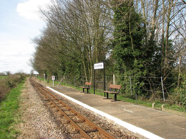
Brampton railway station (Norfolk)

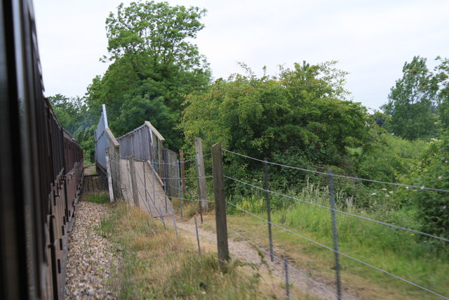
Brampton railway station serves the village of Brampton in Norfolk and is operated by the Bure Valley Railway, a narrow gauge heritage railway operation...

Bure Valley Path

The Bure Valley Path is a 9-mile (14 km) long walking trail and cycling trail in Norfolk, England. It runs alongside the Bure Valley Railway, a heritage...

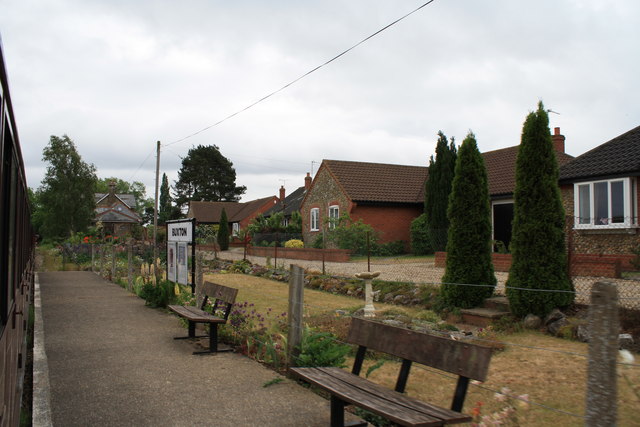
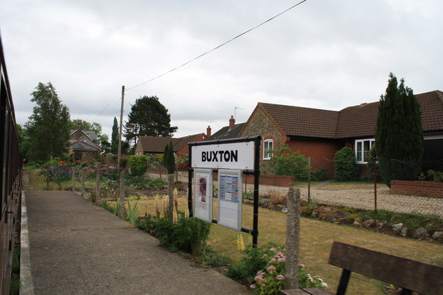
Buxton railway station (Norfolk)

Buxton railway station serves the village of Buxton in Norfolk and is served by the Bure Valley Railway.

Nearby Amenities

Located within 500m of 52.765426,1.2991629
Public Bookcase
Defibrillator
Booth: K6
Defibrillator Location: inside old red phone box (now used as book exchange) in Brampton
Disused Amenity: telephone
Emergency: defibrillator
Man Made: telephone_box
Public Bookcase Type: phone_box
Ref GB The Circuit: 25E49E20-74B7-4A5F-8D82-AD8000A3A573
Lat/Long: 52.7673885/1.2930329
Brampton
Place: village
Lat/Long: 52.7679641/1.2935735
Barrier: stile
Lat/Long: 52.7689463/1.296353
Barrier: stile
Lat/Long: 52.7678089/1.2988827
Barrier: stile
Lat/Long: 52.7670372/1.3003741
Barrier: stile
Lat/Long: 52.7680535/1.2978428
Barrier: stile
Lat/Long: 52.7680308/1.2980148
Oxnead
Historic: place
Note: Lost settlement
Place: village
Wikidata: Q7115716
Lat/Long: 52.7683673/1.3034272
Brampton
Man Made: village_sign
Material: wood
Old Name: Bramtuna
Lat/Long: 52.7675545/1.2939383
Post Box
Operator: Royal Mail
Post Box Mounting: pier
Post Box Type: lamp
Royal Cypher: EIIR
Royal Cypher Wikidata: Q33102113
Lat/Long: 52.7676481/1.2940863
Waste Basket
Lat/Long: 52.7676545/1.294222
Barrier: block
Historic: ruins
Material: concrete
Military: tank_trap
Lat/Long: 52.7680048/1.2978653
Entrance: yes
Lat/Long: 52.7680641/1.3037015
Entrance: yes
Lat/Long: 52.7679686/1.3038764
Entrance: main
Lat/Long: 52.7679582/1.3036666
Give Way
Lat/Long: 52.7615269/1.2969942
Give Way
Lat/Long: 52.7611275/1.2972678
Give Way
Lat/Long: 52.767455/1.2938947
Give Way
Lat/Long: 52.7676084/1.2940853
Give Way
Lat/Long: 52.767576/1.2938155
Give Way
Lat/Long: 52.7674599/1.2930173
The data included in this document is from www.openstreetmap.org. The data is made available under ODbL.

Have you been to Belt Wood?

Leave your review of Belt Wood below (or comments, questions and feedback).