Carson's Hole
Lake, Pool, Pond, Freshwater Marsh in Norfolk Broadland
England
Carson's Hole
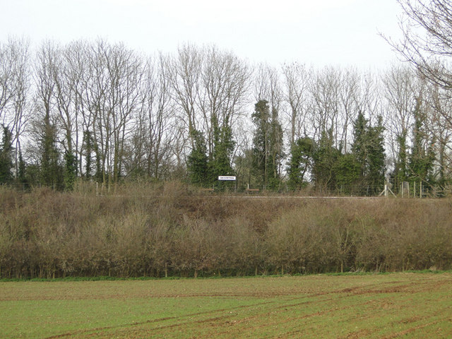
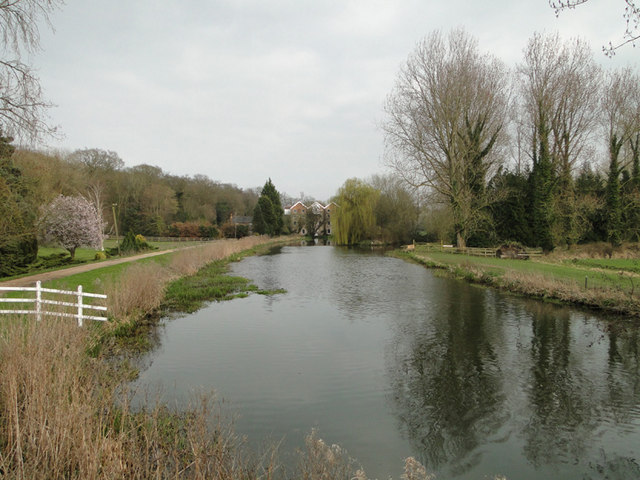
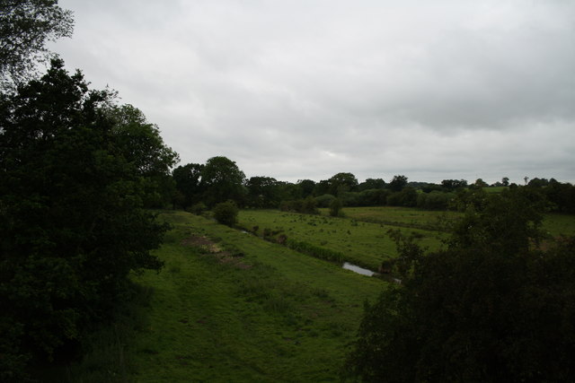
Carson's Hole, located in Norfolk, is a picturesque freshwater marsh situated in the eastern part of England. Spanning over a vast area, it can be categorized as a lake, pool, pond, and freshwater marsh, owing to its varying characteristics and vegetation. The site is named after its discoverer, Carson, who stumbled upon this hidden gem in the early 19th century.
Carson's Hole boasts a diverse ecosystem, making it a haven for wildlife enthusiasts and nature lovers alike. The marshland is home to a wide array of plant species such as reeds, cattails, water lilies, and various types of grasses that thrive in the nutrient-rich soil. These plants provide a habitat for numerous aquatic creatures, including fish, frogs, turtles, and water insects.
The calm and serene waters of Carson's Hole add to its allure. The glimmering surface reflects the beauty of the surrounding landscape, including the vibrant greenery and the clear blue skies. Visitors can witness a symphony of sounds as birds chirp and sing, while the gentle rustling of the reeds creates a soothing ambiance.
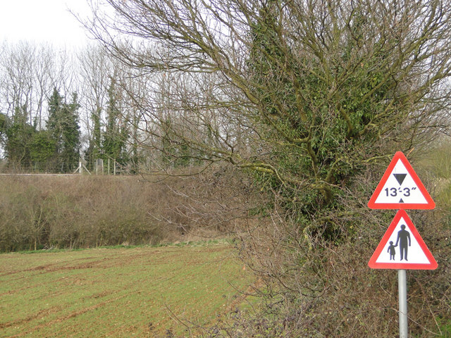
The marshland also plays a vital role in flood prevention, acting as a natural reservoir that absorbs excess water during heavy rainfall. Its strategic location near the coast further contributes to its importance in maintaining the ecological balance in the region.
Carson's Hole is a popular destination for birdwatchers, who flock to the area to catch glimpses of various avian species, including herons, swans, ducks, and geese. Additionally, the tranquil surroundings make it an ideal spot for leisurely walks, picnics, and photography.
In conclusion, Carson's Hole in Norfolk is a remarkable freshwater marsh that offers a harmonious blend of natural beauty, diverse wildlife, and recreational opportunities. Its tranquil ambiance and ecological significance make it a must-visit destination for those seeking to connect with nature.
If you have any feedback on the listing, please let us know in the comments section below.
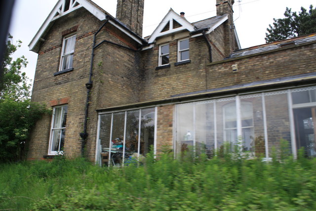
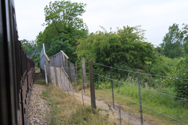
Carson's Hole Images
Images are sourced within 2km of 52.765658/1.2982759 or Grid Reference TG2223. Thanks to Geograph Open Source API. All images are credited.
Carson's Hole is located at Grid Ref: TG2223 (Lat: 52.765658, Lng: 1.2982759)
Administrative County: Norfolk
District: Broadland
Police Authority: Norfolk
What 3 Words
///trunk.surfacing.fashion. Near Buxton, Norfolk
Nearby Locations
Related Wikis

Oxnead
Oxnead is a lost settlement and former civil parish, now in the parish of Brampton, in the Broadland district, in the county of Norfolk, England. It is...
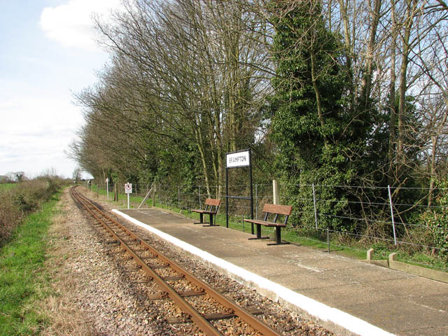
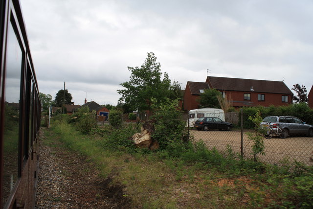
Brampton railway station (Norfolk)
Brampton railway station serves the village of Brampton in Norfolk and is operated by the Bure Valley Railway, a narrow gauge heritage railway operation...

Bure Valley Path
The Bure Valley Path is a 9-mile (14 km) long walking trail and cycling trail in Norfolk, England. It runs alongside the Bure Valley Railway, a heritage...

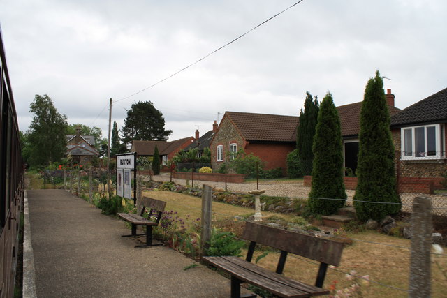
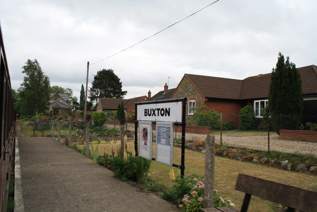
Buxton railway station (Norfolk)
Buxton railway station serves the village of Buxton in Norfolk and is served by the Bure Valley Railway.

Buxton Lamas railway station
Buxton Lamas was a railway station in Buxton with Lamas, Norfolk. It was located near the Bure Valley Railway's present Buxton station. == References ==

Brampton, Norfolk
Brampton is a small village and parish in the county of Norfolk, England, in the Bure Valley, east of Aylsham. == History == Brampton was the subject of...

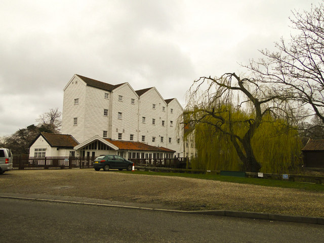
Buxton Watermill
Buxton Mill, is located on the River Bure about 0.5 miles (0.80 km) east of the village of Buxton, Norfolk, and is in the hamlet of Lamas, Norfolk. A watermill...

Buxton, Norfolk
Buxton is a village in the parish of Buxton with Lamas, in the Broadland district of the county of Norfolk, England. It is located between Norwich and...
Nearby Amenities
Located within 500m of 52.765658,1.2982759Have you been to Carson's Hole?
Leave your review of Carson's Hole below (or comments, questions and feedback).