Town Pit

Lake, Pool, Pond, Freshwater Marsh in Norfolk North Norfolk

England

Town Pit

Road to Banningham just off the A140
Road to Banningham just off the A140 Credit: Adrian S Pye

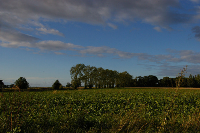
Town Pit in Norfolk is a prominent freshwater ecosystem that serves as a lake, pool, pond, and freshwater marsh. Located in the eastern part of the county, it covers an approximate area of 50 acres. The site's diverse features make it a significant natural habitat and a popular destination for both locals and tourists.

The main body of Town Pit consists of a tranquil lake, with crystal-clear waters that span across a large portion of the area. The lake provides a serene environment for various recreational activities, such as fishing, boating, and swimming. Its depth ranges from shallow areas perfect for wading to deeper sections that accommodate more experienced swimmers and divers.

Surrounding the lake, there are several pools and ponds, which are interconnected and create a complex network of water bodies. These smaller bodies of water offer unique habitats for a variety of aquatic flora and fauna, including water lilies, cattails, and various species of fish, amphibians, and invertebrates.

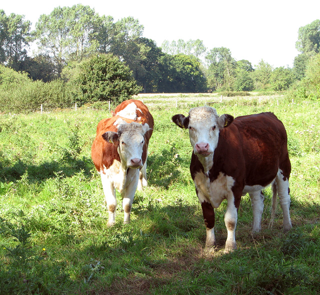
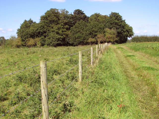
In addition to the lake and pools, Town Pit boasts a vibrant freshwater marsh. This marshland is characterized by its rich vegetation, including reeds, grasses, and sedges. It acts as a natural filter, purifying the water and providing a crucial habitat for numerous bird species, such as herons, ducks, and geese. The marshland also supports a diverse array of insects, reptiles, and small mammals.

Overall, Town Pit in Norfolk is a remarkable natural area that combines the beauty of a lake, the tranquility of a pool, the serenity of a pond, and the ecological significance of a freshwater marsh. Its diverse features make it an ideal location for nature enthusiasts, researchers, and anyone seeking a peaceful escape in the heart of Norfolk.

If you have any feedback on the listing, please let us know in the comments section below.
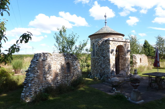
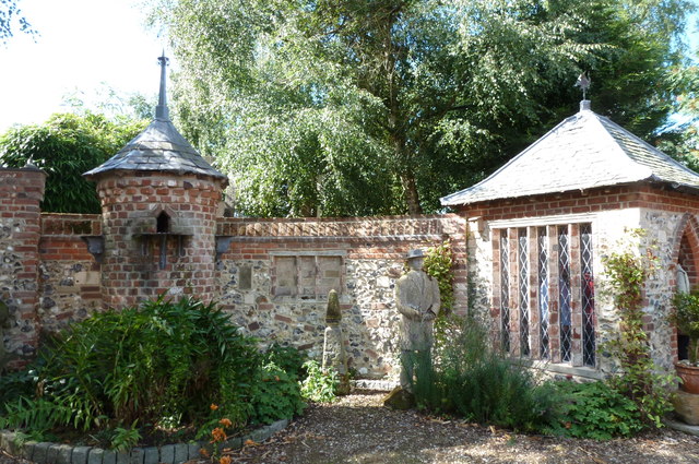
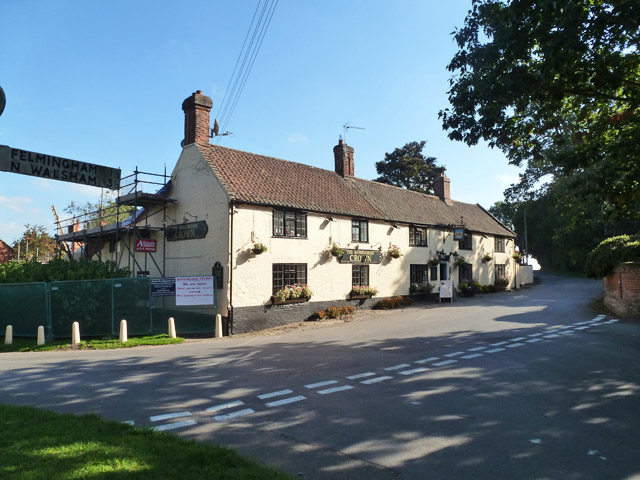
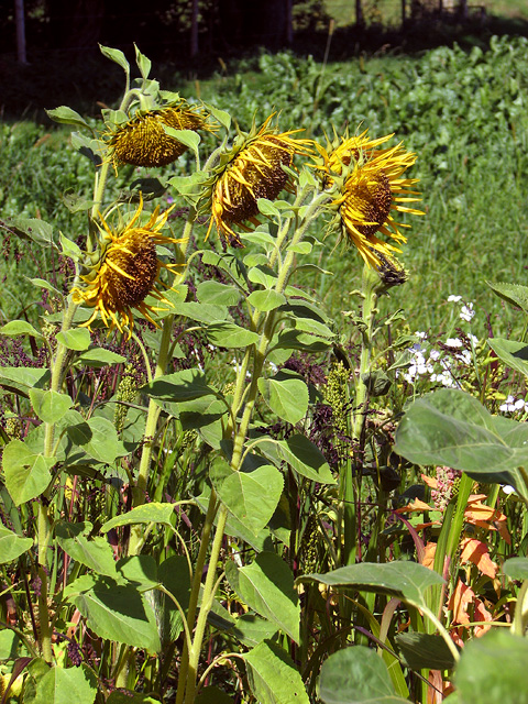
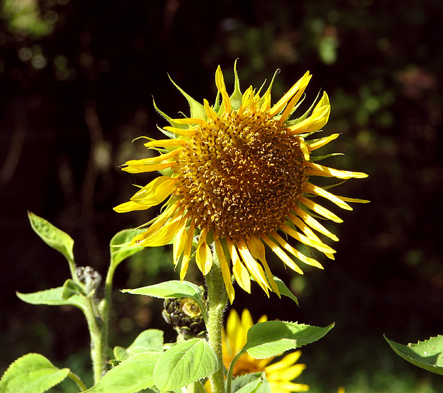
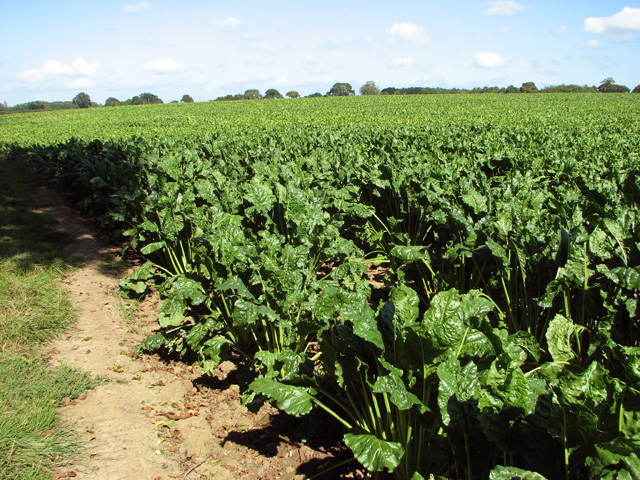
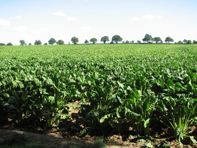
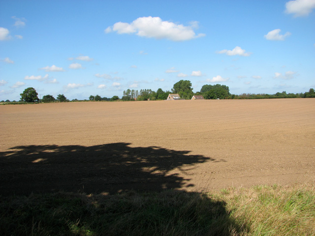
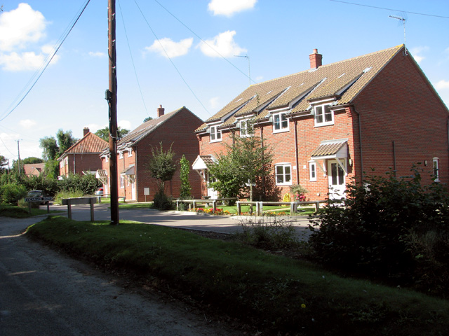
Town Pit Images

Images are sourced within 2km of 52.814456/1.3024769 or Grid Reference TG2229. Thanks to Geograph Open Source API. All images are credited.

Road to Banningham just off the A140
A140 junction from the B1145 north Walsham Road
Farm building at Church Farm, Banningham
Church Farm, Banningham
Felmingham Chapel folly A small chapel built around 2009 of flint. It is flanked by two ruined walls and the inside features cast heads and medieval style paintings.
Felmingham Chapel folly
A small chapel built around 2009 of flint. It is flanked by two ruined walls and the inside features cast heads and medieval style paintings.
Felmingham - Summerhouse and dovecote Round dovecote and square summerhouse built into a curved brick and flint wall. Constructed between 2007 and 2013.
Felmingham - Summerhouse and dovecote
Round dovecote and square summerhouse built into a curved brick and flint wall. Constructed between 2007 and 2013.
The Banningham Crown Across the road from the church, the perfect antidote for dry sermons.
The Banningham Crown
Across the road from the church, the perfect antidote for dry sermons.
View north across the fields towards Banningham
Cattle pasture by Lower Farm, Tuttington
Bridleway past Lower Farm
Fields east of Low Common The sunflowers and millet seen in the foreground are for the pheasants and partridges to enjoy.  The crop seen in the background is sugar beet.
Fields east of Low Common
The sunflowers and millet seen in the foreground are for the pheasants and partridges to enjoy. The crop seen in the background is sugar beet.
Crop fields east of Lower Farm A mixed crop comprising sunflowers and millet (to feed pheasants and partirdges) can be seen at right. It is adjoined by sugar beet.
Crop fields east of Lower Farm
A mixed crop comprising sunflowers and millet (to feed pheasants and partirdges) can be seen at right. It is adjoined by sugar beet.
Sunflowers in game bird crop field For a wider view of this location see > <a title="https://www.geograph.org.uk/photo/4156712" href="https://www.geograph.org.uk/photo/4156712">Link</a>.
Sunflowers in game bird crop field
For a wider view of this location see > Link.
Sunflower in game bird crop For a wider view of this location see > <a title="https://www.geograph.org.uk/photo/4156712" href="https://www.geograph.org.uk/photo/4156712">Link</a>.
Sunflower in game bird crop
For a wider view of this location see > Link.
Sugar beet crop field east of Low Common
Sugar beet crop, Tuttington
Field by Lower Farm
Field by Lower Farm
New houses in Chapel Lane
Show me another place!

Town Pit is located at Grid Ref: TG2229 (Lat: 52.814456, Lng: 1.3024769)

Administrative County: Norfolk

District: North Norfolk

Police Authority: Norfolk

What 3 Words

///glare.documents.dumplings. Near Aylsham, Norfolk

Nearby Locations

Town Pit

Related Wikis

Banningham

Banningham is a village and former civil parish, now in the parish of Colby, in the North Norfolk district, in the English county of Norfolk. The village...

Tuttington

Tuttington is a village and former civil parish, now in the parish of Burgh and Tuttington, in the Broadland district, in the county of Norfolk, England...

Felmingham Cutting

Felmingham Cutting is a 1-hectare (2.5-acre) Local Nature Reserve west of North Walsham in Norfolk. It is owned by North Norfolk District Council and...

Colby, Norfolk

Colby is a village and a civil parish in the English county of Norfolk. The village is 8.6 miles (13.8 km) south of Cromer, 16.8 miles (27.0 km) north...

Nearby Amenities

Located within 500m of 52.814456,1.3024769
Bridge Road, opp
Naptan AtcoCode: 2900C2111
Naptan Bearing: SW
Naptan BusStopType: CUS
Naptan CommonName: Bridge Road
Naptan Indicator: opp
Naptan Locality: Banningham
Naptan NaptanCode: nfoajmpj
Naptan Street: North Walsham Road
Naptan Verified: no
Source: naptan_import
Lat/Long: 52.8156446/1.3090611
Bridge Road, adj
Naptan AtcoCode: 2900C219
Naptan Bearing: NE
Naptan BusStopType: CUS
Naptan CommonName: Bridge Road
Naptan Indicator: adj
Naptan Locality: Banningham
Naptan NaptanCode: nfoajmtj
Naptan Street: Aylsham Road
Naptan Verified: no
Source: naptan_import
Lat/Long: 52.8159571/1.3091442
Telephone
Lat/Long: 52.8122148/1.3030823
Post Box
Lat/Long: 52.8131093/1.3008547
Parking
Fee: no
Parking: layby
Lat/Long: 52.8156557/1.3085489
The data included in this document is from www.openstreetmap.org. The data is made available under ODbL.

Have you been to Town Pit?

Leave your review of Town Pit below (or comments, questions and feedback).