Fritton
Settlement in Norfolk South Norfolk
England
Fritton

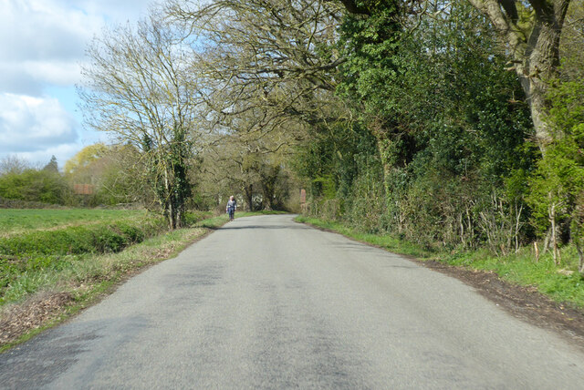
Fritton is a charming village located in the county of Norfolk, England. Situated on the eastern bank of Fritton Lake, it is a popular destination for both locals and tourists alike. The village is part of the Great Yarmouth borough and is surrounded by picturesque countryside, offering a tranquil setting for visitors.
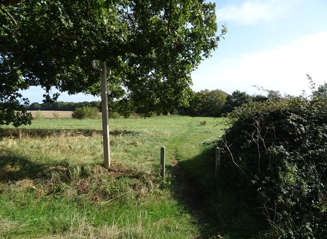
Fritton is well-known for its stunning natural beauty, with Fritton Lake Country Park being a major attraction. The park covers an extensive area and offers a wide range of outdoor activities, including boating, fishing, and walking trails. The park is also home to a variety of wildlife, making it a haven for nature enthusiasts.
In addition to its natural splendor, Fritton boasts a rich history. The village is home to Fritton House, a historic mansion which has been converted into a luxury hotel and spa. The house dates back to the 16th century and is surrounded by beautifully landscaped gardens, providing a luxurious retreat for visitors.
Fritton also has a thriving community, with a village hall, primary school, and a range of local businesses. The village hosts various events throughout the year, including a summer fete and a fireworks display.
Overall, Fritton offers a delightful blend of natural beauty, history, and community spirit. Whether seeking outdoor adventures, relaxation, or a glimpse into the past, this picturesque village in Norfolk has something to offer everyone.
If you have any feedback on the listing, please let us know in the comments section below.
Fritton Images
Images are sourced within 2km of 52.488576/1.275837 or Grid Reference TM2292. Thanks to Geograph Open Source API. All images are credited.


Fritton is located at Grid Ref: TM2292 (Lat: 52.488576, Lng: 1.275837)
Administrative County: Norfolk
District: South Norfolk
Police Authority: Norfolk
What 3 Words
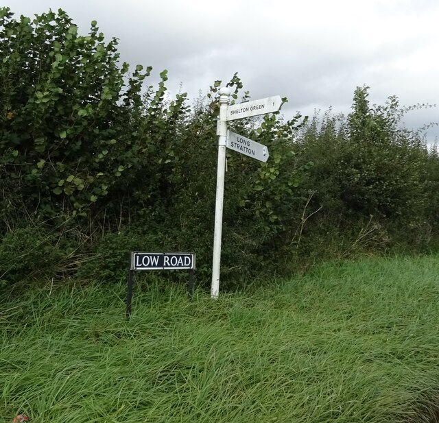
///models.decently.immune. Near Long Stratton, Norfolk
Nearby Locations
Related Wikis

Fritton Common, Morningthorpe
Fritton Common, Morningthorpe is a 20.5-hectare (51-acre) biological Site of Special Scientific Interest east of Long Stratton in Norfolk.This damp acidic...

Hempnall
Hempnall is a village and civil parish in the English county of Norfolk. It covers an area of 14.82 km2 (5.72 sq mi) and had a population of 1,310 in 522...

Morningthorpe
Morningthorpe (sometimes Morning Thorpe) is a village and former civil parish, now in the parish of Morningthorpe and Fritton in the South Norfolk district...

Shelton Hall (Norfolk)
Shelton Hall is a large estate in the village of Shelton, Norfolk, England. The estate has around 72 acres (290,000 m2) of surrounding fields, the names...

Long Stratton
Long Stratton is a town and civil parish in Norfolk, England. It historically consisted of two villages; the larger, Stratton St. Mary, is to the south...

Shelton and Hardwick
Shelton and Hardwick is a civil parish in South Norfolk, England, made up of the villages of Shelton and Hardwick. It lies about 3 km south-east of Long...
South Norfolk
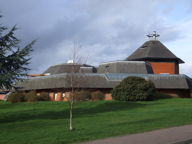
South Norfolk is a local government district in Norfolk, England. Its council is based in the Horizon Building at Broadland Business Park near Norwich...
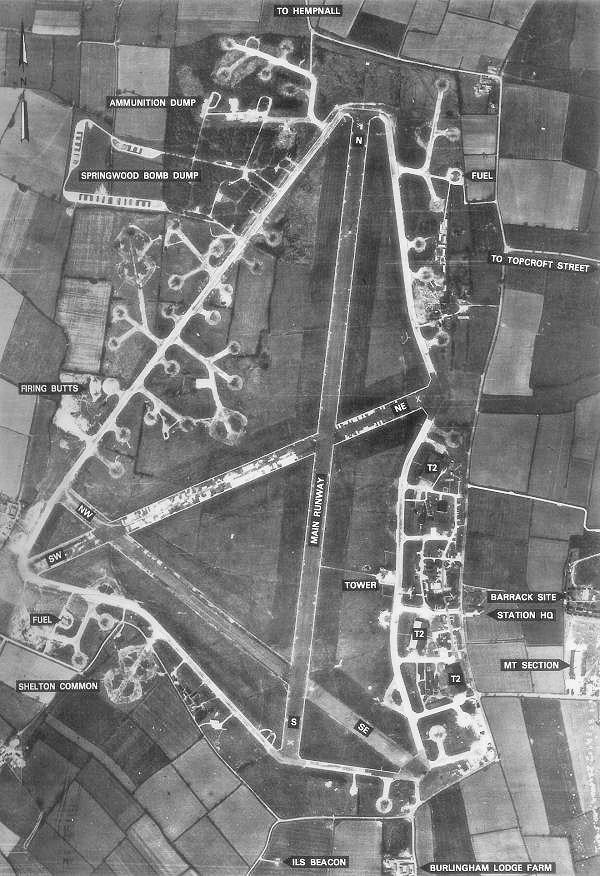
RAF Hardwick
Royal Air Force Hardwick or more simply RAF Hardwick is a former Royal Air Force station located between the Norfolk villages of Topcroft and Hardwick...
Related Videos
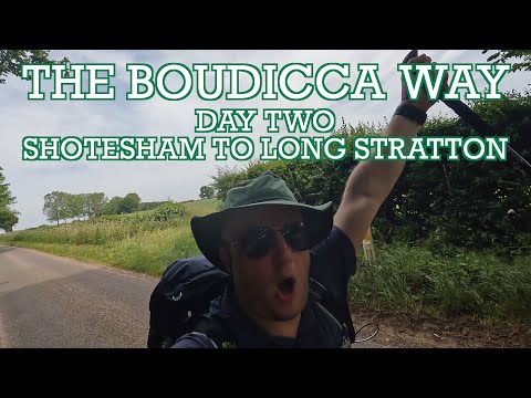
Boudicca Way - Day Two - Shotesham to Nr Long Stratton - Cool Dudes Walking Club
A 15-mile walk in a heatwave from my B&B in Mulbarton to near Long Stratton. Here is the Super Sparrow Water Bottle ...

From the air | Drone showreel | Long Stratton | South Norfolk | England | U.K. | Parrot anafi drone
Two minutes and forty seconds of drone magic above the flatlands of South Norfolk, United Kingdom #longstratton #southnorfolk ...
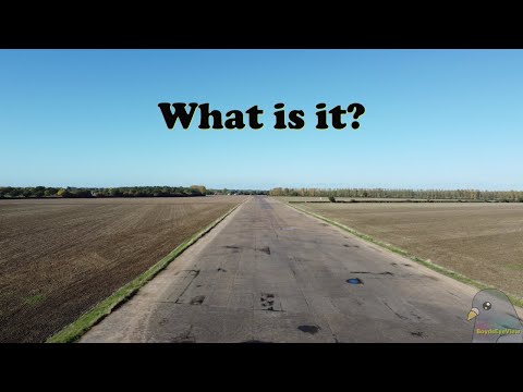
What is it ?
Saw this whilst out and about with the dog. Made me think about stone circles and things that where built for two world wars.

Ruby meets another Duck Toller | Ruby (supermomma from Takis Shelter)
Ruby came with us to the scene of the fire, and she met another duck toller in the crowd Here are a few of the items we use with ...
Nearby Amenities
Located within 500m of 52.488576,1.275837Have you been to Fritton?
Leave your review of Fritton below (or comments, questions and feedback).