Fritwell

Settlement in Oxfordshire Cherwell

England

Fritwell

Banbury Road, Souldern
Banbury Road, Souldern Credit: David Howard

Fritwell is a picturesque village located in the Cherwell district of Oxfordshire, England. Situated approximately 10 miles northwest of Oxford, it is surrounded by beautiful rolling countryside, making it an ideal destination for those seeking a peaceful and tranquil retreat.

The village itself is small in size, with a population of around 500 residents. It maintains a strong sense of community and offers a range of amenities to cater to the needs of its residents. These include a local pub, a village hall, a primary school, and a post office, ensuring that essential services are readily available within the village.

Fritwell is steeped in history, with evidence of settlement dating back to the Roman period. The village contains a number of historic buildings, including the 12th-century St. Olave's Church, which is renowned for its stunning architecture and stained glass windows.

The surrounding countryside provides ample opportunities for outdoor activities such as hiking, cycling, and horse riding. The village is also well-connected to a network of footpaths and bridleways, allowing visitors to explore the scenic landscapes and enjoy the natural beauty of the area.

Despite its small size, Fritwell offers a warm and welcoming atmosphere, making it an attractive place to live or visit for those seeking a picturesque and close-knit community in the heart of Oxfordshire.

If you have any feedback on the listing, please let us know in the comments section below.
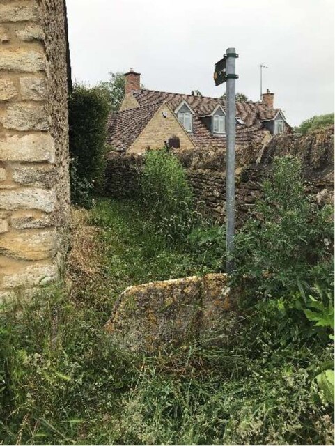
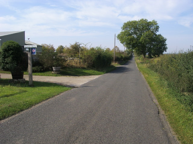
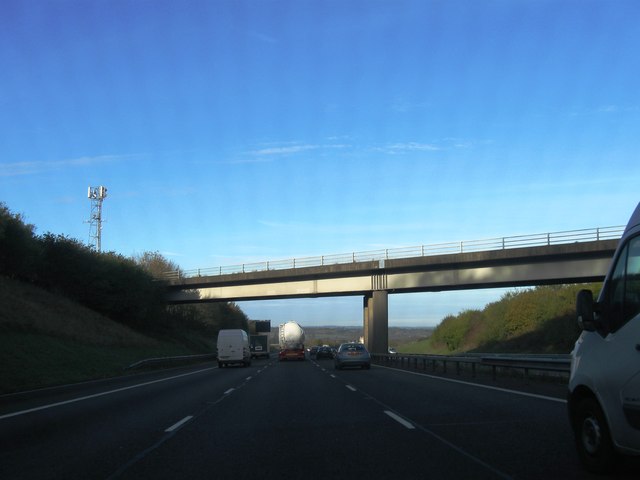
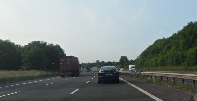
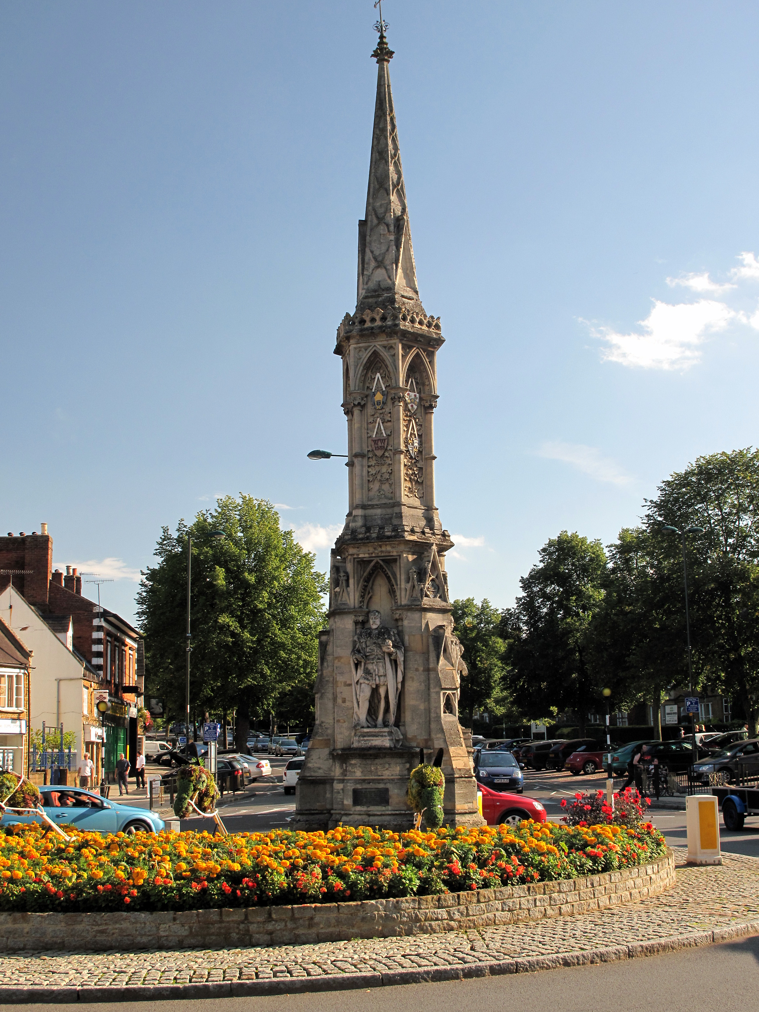
Fritwell Images

Images are sourced within 2km of 51.960887/-1.239036 or Grid Reference SP5229. Thanks to Geograph Open Source API. All images are credited.

Banbury Road, Souldern
Stone Stile, Souldern GS12001 Off Bates Street Souldern near Bicester, Oxfordshire footpath 351/17/20. This is looking NW to the road, the view from the road is <a href="https://www.geograph.org.uk/photo/7218044">SP5131 : Stone Stile, Souldern GS12001</a>.
Stone Stile, Souldern GS12001
Off Bates Street Souldern near Bicester, Oxfordshire footpath 351/17/20. This is looking NW to the road, the view from the road is SP5131 : Stone Stile, Souldern GS12001.
Stone Stile, Souldern GS12001 Off Bates Street Souldern near Bicester, Oxfordshire footpath 351/17/20. This is looking SE from the road, the view from the footpath is <a href="https://www.geograph.org.uk/photo/7218041">SP5131 : Stone Stile, Souldern GS12001</a>.
Stone Stile, Souldern GS12001
Off Bates Street Souldern near Bicester, Oxfordshire footpath 351/17/20. This is looking SE from the road, the view from the footpath is SP5131 : Stone Stile, Souldern GS12001.
St Olave's Church, Fritwell
M40 near Foxwell Barn
Overbridge by Foxhill Barn, M40
Water Tower by the M40 A water tower is an elevated structure supporting a water tank constructed at a height sufficient to pressurize a water supply system for the distribution of drinkable water, and to provide emergency storage for fire protection.
Wikipedia: <span class="nowrap"><a title="http://en.wikipedia.org/wiki/Water_tower" rel="nofollow ugc noopener" href="http://en.wikipedia.org/wiki/Water_tower">Link</a><img style="margin-left:2px;" alt="External link" title="External link - shift click to open in new window" src="https://s1.geograph.org.uk/img/external.png" width="10" height="10"/></span>
Water Tower by the M40
A water tower is an elevated structure supporting a water tank constructed at a height sufficient to pressurize a water supply system for the distribution of drinkable water, and to provide emergency storage for fire protection. Wikipedia: LinkExternal link
Road passing Tower Fields Road to Souldern passing Tower Fields
Road passing Tower Fields
Road to Souldern passing Tower Fields
B4100 heading up Ploughley Hill B4100 heading up Ploughley Hill near Souldern
B4100 heading up Ploughley Hill
B4100 heading up Ploughley Hill near Souldern
M40 south near Fritwell
B4100 north of Green Farm
B4100 at Ploughley Hill
M40 motorway in cutting north of Fritwell
M40 panorama north of Fritwell The motorway is about to descend steeply into the Cherwell Valley.
M40 panorama north of Fritwell
The motorway is about to descend steeply into the Cherwell Valley.
M40 northbound
M40 northbound
Farmland near Upper Souldern Farm
M40 Motorway
M40 Motorway
Show me another place!

Fritwell is located at Grid Ref: SP5229 (Lat: 51.960887, Lng: -1.239036)

Administrative County: Oxfordshire

District: Cherwell

Police Authority: Thames Valley

What 3 Words

///banquets.cotton.prance. Near Somerton, Oxfordshire

Nearby Locations

Fritwell Fritwell

Related Wikis

Fritwell Manor

Fritwell Manor is a house in Fritwell, Oxfordshire, England. It is a Grade II* listed building. == History == In 1520, the manor at Fritwell was owned...

Fritwell

Fritwell is a village and civil parish about 5+1⁄2 miles (9 km) northwest of Bicester in Oxfordshire. The 2011 Census recorded the parish's population...

Cherwell (district)

Cherwell ( CHER-wel) is a local government district in northern Oxfordshire, England. The district was created in 1974 and takes its name from the River...

Souldern

Souldern is a village and civil parish in Oxfordshire about 7 miles (11 km) northwest of Bicester and a similar distance southeast of Banbury. The parish...

Church of the Annunciation to the Blessed Virgin Mary, Souldern

The Parish Church of the Annunciation to the Blessed Virgin Mary is the Church of England parish church of Souldern, a village in Oxfordshire about 7 miles...

Ardley Cutting and Quarry

Ardley Cutting and Quarry is a 40.1-hectare (99-acre) biological and geological Site of Special Scientific Interest north-west of Bicester in Oxfordshire...

Bicester Town F.C.

Bicester Town Football Club is a football club based in Bicester, Oxfordshire, England. == History == The club was established in 1873, a merger of Bicester...

Ardley United F.C.

Ardley United Football Club is a football club based in Ardley, near Bicester in Oxfordshire, England. They are members of the Combined Counties League...

Nearby Amenities

Located within 500m of 51.960887,-1.239036
Fritwell
Is In: Oxfordshire, England, UK
Place: village
Wikidata: Q2346636
Wikipedia: en:Fritwell
Lat/Long: 51.9596759/-1.2329223
Telephone
Booth: KX300
Covered: booth
Postal Code: OX27 7PX
Lat/Long: 51.9602485/-1.2331012
Post Box
Post Box Type: lamp
Lat/Long: 51.9579411/-1.233623
Post Office
G B Wrighton & Son
Shop: butcher
Lat/Long: 51.9579088/-1.2335998
Post Box
Brand: Royal Mail
Brand Wikidata: Q638098
Brand Wikipedia: en:Royal Mail
Collection Times: Mo-Fr 09:00; Sa 07:00
Operator: Royal Mail
Operator Wikidata: Q638098
Post Box Type: wall
Ref: OX27 559D
Royal Cypher: EIIR
Royal Cypher Wikidata: Q33102113
Source: survey
Lat/Long: 51.9610223/-1.2387427
Barrier: stile
Lat/Long: 51.9635668/-1.2417429
George and Dragon
Naptan AtcoCode: 340000328GEO
Naptan Bearing: S
Naptan BusStopType: CUS
Naptan CommonName: George and Dragon
Naptan Indicator: Outside
Naptan Landmark: George and Dragon
Naptan NaptanCode: oxfamdgj
Naptan Street: East Street
Naptan Verified: no
Source: naptan_import
Lat/Long: 51.9601912/-1.232976
Bus Stop
The Lane
Bus: yes
Naptan AtcoCode: 340001737CNR
Naptan Bearing: W
Naptan CommonName: The Lane
Naptan Indicator: Corner
Naptan Landmark: The Lane
Naptan NaptanCode: oxfgdgmg
Naptan Street: North Street
Naptan Verified: no
Public Transport: platform
Source: naptan_import
Lat/Long: 51.9611447/-1.237195
The Lane
Naptan AtcoCode: 340001737OPP
Naptan Bearing: E
Naptan BusStopType: CUS
Naptan CommonName: The Lane
Naptan Indicator: Opposite
Naptan Landmark: The Lane
Naptan NaptanCode: oxfgdgmd
Naptan Street: North Street
Naptan Verified: no
Source: naptan_import
Lat/Long: 51.9612259/-1.2372373
Bus Stop
George and Dragon
Bus: yes
Naptan AtcoCode: 340001739OUT
Naptan Bearing: N
Naptan CommonName: George and Dragon
Naptan Indicator: Outside No 26
Naptan Landmark: George and Dragon
Naptan NaptanCode: oxfgdgjw
Naptan Street: East Street
Naptan Verified: no
Public Transport: platform
Shelter: yes
Source: naptan_import
Lat/Long: 51.9601561/-1.2331076
The data included in this document is from www.openstreetmap.org. The data is made available under ODbL.

Have you been to Fritwell?

Leave your review of Fritwell below (or comments, questions and feedback).