Hawes' Green
Settlement in Norfolk South Norfolk
England
Hawes' Green
Hawes' Green is a small village located in the county of Norfolk, England. Situated in the South Norfolk district, it is nestled amidst the picturesque countryside, offering residents and visitors alike a serene and idyllic setting.
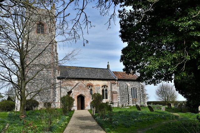
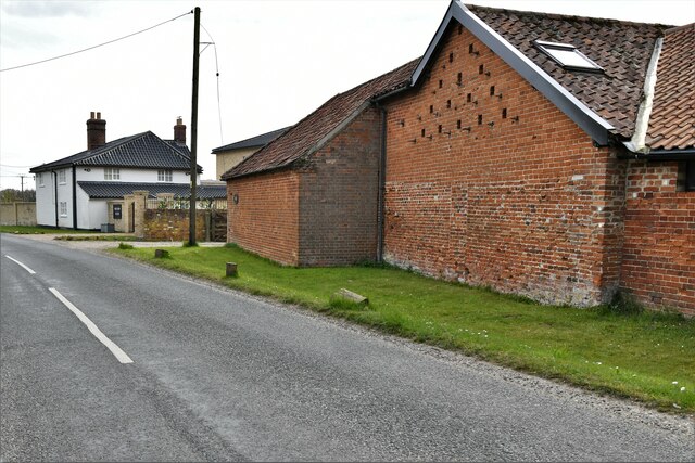
The village is renowned for its charming and traditional architecture, with many of its buildings dating back several centuries. Hawes' Green is primarily a residential area, with a relatively small population, giving it a close-knit and friendly community atmosphere. The village is characterized by its quaint cottages, well-tended gardens, and winding country lanes.
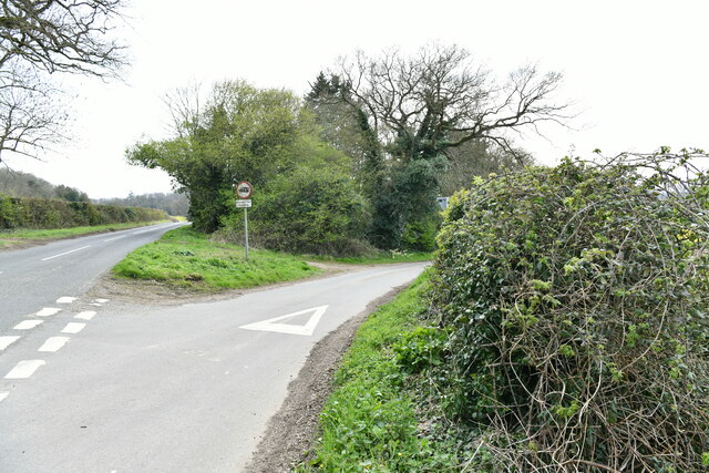
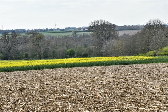
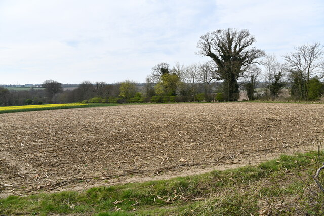
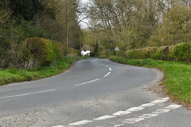
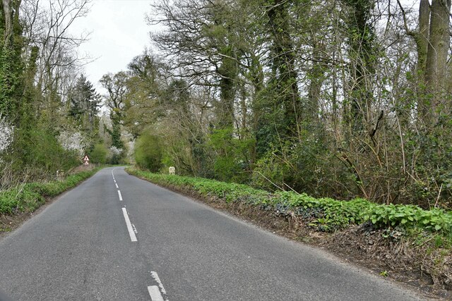
Nature enthusiasts will find plenty to explore in and around Hawes' Green. The village is surrounded by rolling green fields, woodlands, and meandering rivers, providing ample opportunities for countryside walks and outdoor activities. The nearby Norfolk Broads, a network of rivers and lakes, is a popular attraction for boating, fishing, and birdwatching.
Despite its tranquil setting, Hawes' Green benefits from good transportation links. The village is within easy reach of larger towns like Diss and Norwich, offering a range of amenities and services. Additionally, the village is well-connected by road, with the A140 running nearby, providing easy access to other parts of Norfolk and beyond.
Hawes' Green is a hidden gem that offers a peaceful retreat from the hustle and bustle of city life. Its beautiful surroundings, friendly community, and convenient location make it an attractive place to live or visit for those seeking a rural escape.
If you have any feedback on the listing, please let us know in the comments section below.
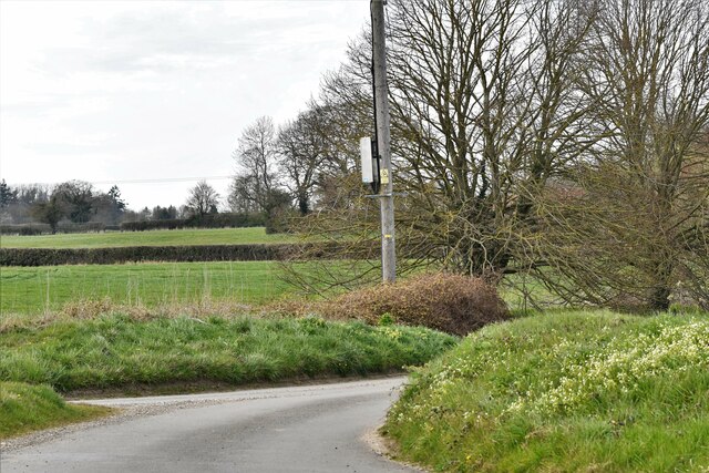
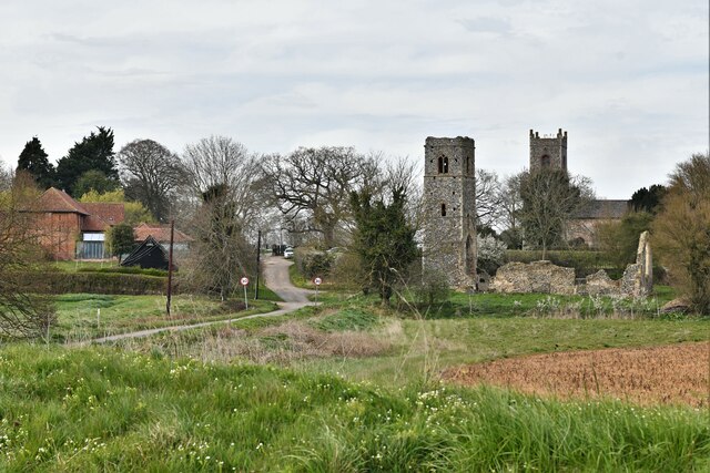
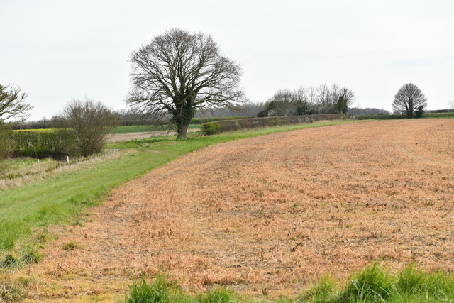
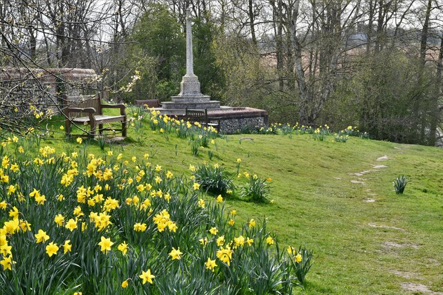
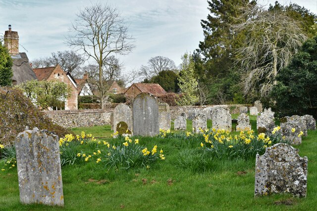
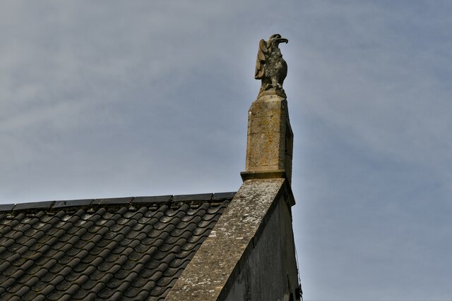
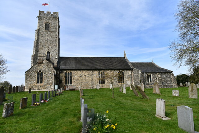
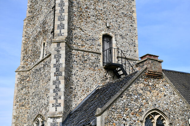
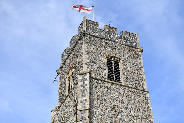
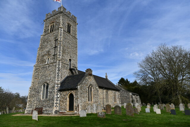
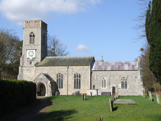
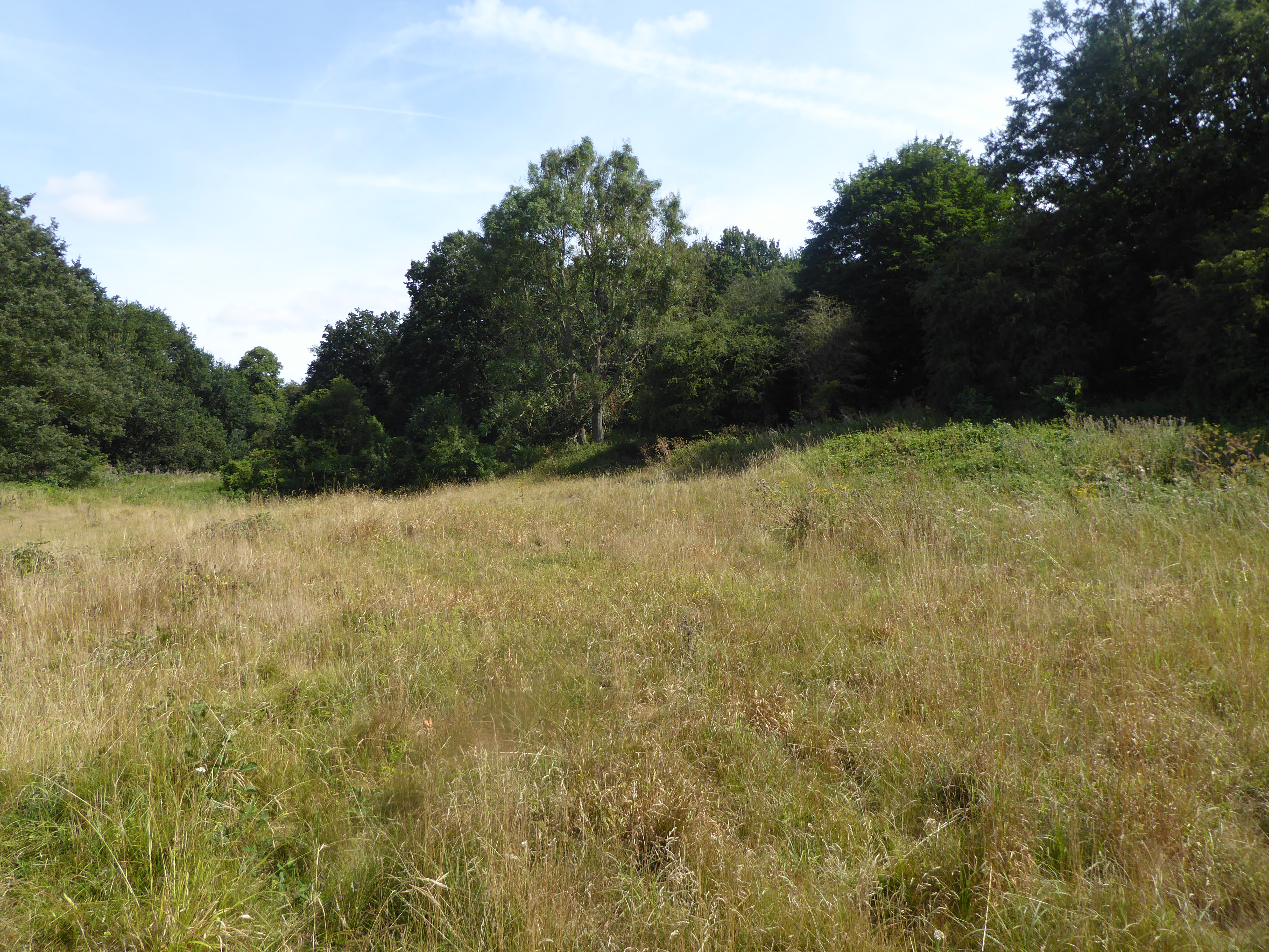
Hawes' Green Images
Images are sourced within 2km of 52.545548/1.3011645 or Grid Reference TM2399. Thanks to Geograph Open Source API. All images are credited.
Hawes' Green is located at Grid Ref: TM2399 (Lat: 52.545548, Lng: 1.3011645)
Administrative County: Norfolk
District: South Norfolk
Police Authority: Norfolk
What 3 Words
///savings.dashes.moderated. Near Poringland, Norfolk
Nearby Locations
Related Wikis

Shotesham Common
Shotesham Common is a 21.6-hectare (53-acre) biological Site of Special Scientific Interest south of Norwich in Norfolk.This site consists of traditionally...

Shotesham
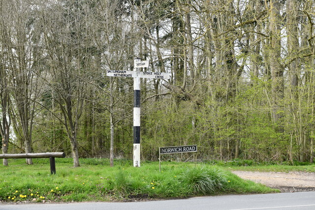
Shotesham () is a village in South Norfolk which lies approximately 5 miles south of Norwich. It sits next to Stoke Holy Cross and Saxlingham Nethergate...
Saxlingham Nethergate
Saxlingham Nethergate is a village and civil parish in Norfolk, England, about 9.5 miles (15 km) south of Norwich. The civil parish has an area of 3.3...
Smockmill Common
Smockmill Common is a 10-hectare (25-acre) Local Nature Reserve on the eastern outskirts of Newton Flotman in Norfolk. It is owned by the Shotesham Estate...
Nearby Amenities
Located within 500m of 52.545548,1.3011645Have you been to Hawes' Green?
Leave your review of Hawes' Green below (or comments, questions and feedback).