Hawerby

Settlement in Lincolnshire

England

Hawerby

Equestrian facility near Ashby-cum-Fenby: aerial 2021
Equestrian facility near Ashby-cum-Fenby: aerial 2021 Credit: Simon Tomson

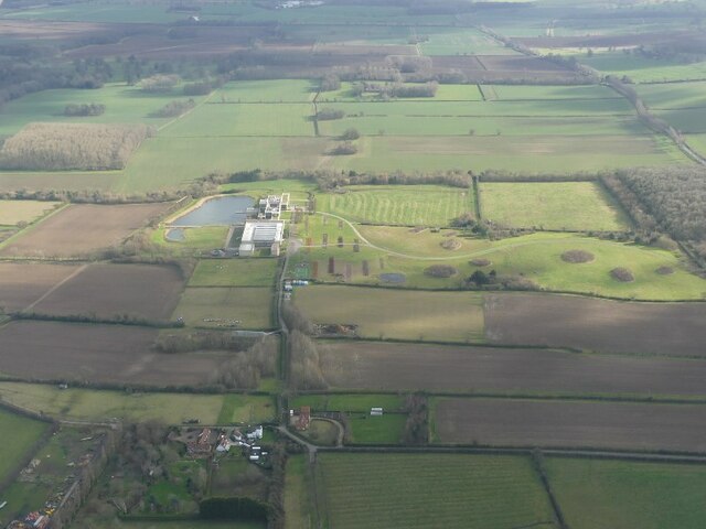
Hawerby is a small village located in the East Lindsey district of Lincolnshire, England. Situated just a few miles north of the bustling market town of Louth, Hawerby is known for its idyllic rural setting and picturesque surroundings.

The village is home to a close-knit community, with a population of around 300 residents. It boasts a charming mix of old stone cottages and modern houses, creating a unique blend of traditional and contemporary architecture. The village is surrounded by beautiful countryside, offering stunning views of rolling hills and farmland.

Despite its small size, Hawerby offers a range of amenities and services to its residents. These include a village hall, a primary school, and a local pub, which serves as a hub for social gatherings and community events. The village also benefits from excellent transport links, with the A16 road passing nearby, providing easy access to neighboring towns and cities.

Nature enthusiasts will appreciate the abundance of outdoor activities available in and around Hawerby. The village is located close to the Lincolnshire Wolds, an Area of Outstanding Natural Beauty, offering opportunities for hiking, cycling, and exploring the local flora and fauna.

Overall, Hawerby is a tranquil and welcoming village, offering a peaceful retreat from the hustle and bustle of city life. Its natural beauty, strong community spirit, and convenient location make it an attractive place to live for those seeking a rural lifestyle in the Lincolnshire countryside.

If you have any feedback on the listing, please let us know in the comments section below.
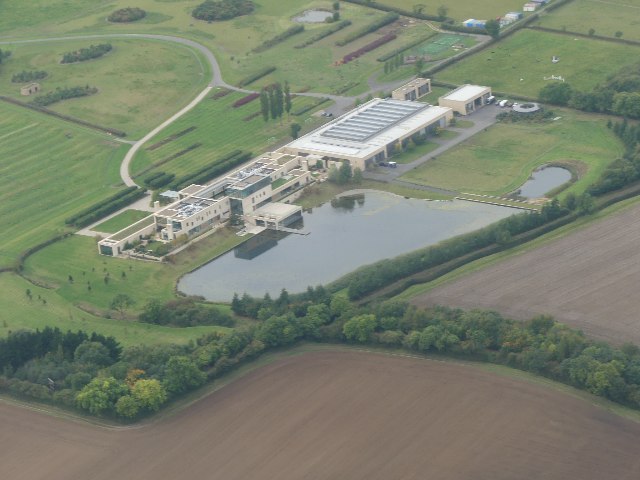
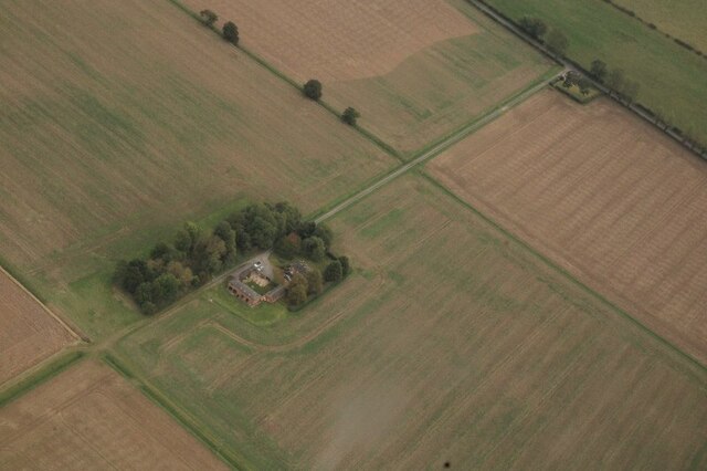
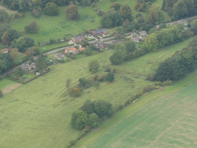
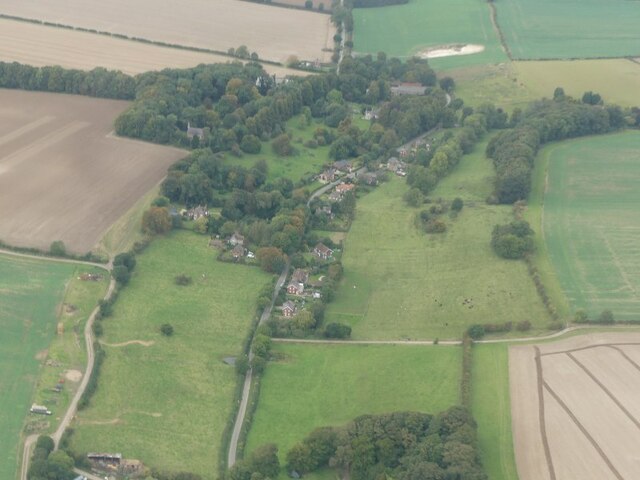
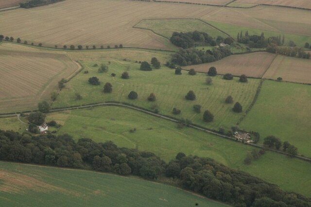
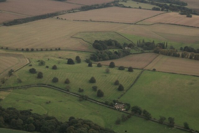
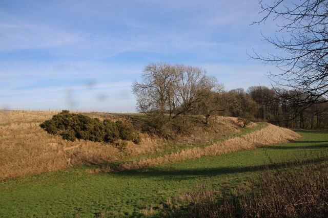
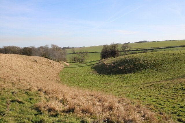
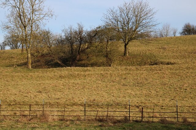
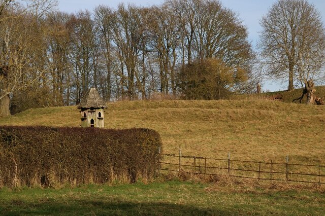
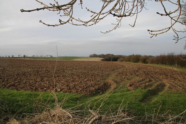
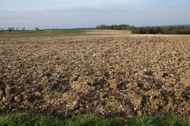
Hawerby Images

Images are sourced within 2km of 53.464206/-0.10675427 or Grid Reference TF2598. Thanks to Geograph Open Source API. All images are credited.

Equestrian facility near Ashby-cum-Fenby: aerial 2021
Westfield Farm, Hawerby: aerial 2021
Wold Newton: aerial 2021 (1)
Wold Newton: aerial 2021 (2)
Beesby DMV: aerial 2021 (1) Mentioned in "Beresford's Lost Villages": <span class="nowrap"><a title="http://www.dmvhull.org/dmvDetail.cfm?dbkey=3727&county=true" rel="nofollow ugc noopener" href="http://www.dmvhull.org/dmvDetail.cfm?dbkey=3727&county=true">Link</a><img style="margin-left:2px;" alt="External link" title="External link - shift click to open in new window" src="https://s1.geograph.org.uk/img/external.png" width="10" height="10"/></span>

Otherwise seems to be undocumented.
Beesby DMV: aerial 2021 (1)
Mentioned in "Beresford's Lost Villages": LinkExternal link Otherwise seems to be undocumented.
Beesby DMV: aerial 2021 (2) Mentioned in "Beresford's Lost Villages": <span class="nowrap"><a title="http://www.dmvhull.org/dmvDetail.cfm?dbkey=3727&county=true" rel="nofollow ugc noopener" href="http://www.dmvhull.org/dmvDetail.cfm?dbkey=3727&county=true">Link</a><img style="margin-left:2px;" alt="External link" title="External link - shift click to open in new window" src="https://s1.geograph.org.uk/img/external.png" width="10" height="10"/></span>

Otherwise seems to be undocumented.
Beesby DMV: aerial 2021 (2)
Mentioned in "Beresford's Lost Villages": LinkExternal link Otherwise seems to be undocumented.
Near Hawerby: an offering to the Wanderlust Gods or a rescue package for exhausted walkers? Beside the Wanderlust Way.
Near Hawerby: an offering to the Wanderlust Gods or a rescue package for exhausted walkers?
Beside the Wanderlust Way.
Glacial valley, Beesby, near the Wanderlust Way (1)
The one that got away? Lone sheep near Beesby, by the Wanderlust Way
Glacial valley, Beesby, near the Wanderlust Way (2)
Glacial valley, Beesby, near the Wanderlust Way (3)
Glacial valley, Beesby, near the Wanderlust Way (4)
Lynchets: Wold Newton (1)
Lynchets: Wold Newton (2)
Chalky soil, and more chalky soil, near Hawerby (1) The field in the distance seems to be more chalk than soil.
Chalky soil, and more chalky soil, near Hawerby (1)
The field in the distance seems to be more chalk than soil.
Chalky soil, and more chalky soil, near Hawerby (2)
Across Ashby cum Fenby to the equestrian facility at South Farm: aerial 2022
Equestrian facility at South Farm, Ashby cum Fenby: aerial 2022 See also <a href="https://www.geograph.org.uk/photo/7144747">TF2599 : Across Ashby cum Fenby to the equestrian facility at South Farm: aerial 2022</a>.
Equestrian facility at South Farm, Ashby cum Fenby: aerial 2022
Show me another place!

Hawerby is located at Grid Ref: TF2598 (Lat: 53.464206, Lng: -0.10675427)

Division: Parts of Lindsey

Unitary Authority: North East Lincolnshire

Police Authority: Humberside

What 3 Words

///jazz.careless.lifeboats. Near Wold Newton, Lincolnshire

Nearby Locations

Hawerby

Related Wikis

Wold Newton, Lincolnshire

Wold Newton is a village and civil parish in North East Lincolnshire, England. It is situated just over 1 mile (1.6 km) west from the A18 road, 7 miles...

Grainsby

Grainsby is a hamlet and civil parish in the East Lindsey district of Lincolnshire, England. It is situated 5 miles (8 km) south from Grimsby, and just...

East Ravendale

East Ravendale is a small village and civil parish in North East Lincolnshire, England. It is situated 6 miles (9.7 km) south-south-west from Grimsby,...

Ashby cum Fenby

Ashby cum Fenby is a village and civil parish in North East Lincolnshire, England, approximately 5 miles (8 km) south from Grimsby, and just east of the...

Nearby Amenities

Located within 500m of 53.464206,-0.10675427
Hawerby Hall Farm
Place: farm
Source: Bing
Lat/Long: 53.4652931/-0.1086814
Hawerby Park
Place: locality
Source: Bing
Lat/Long: 53.4629815/-0.1023462
The data included in this document is from www.openstreetmap.org. The data is made available under ODbL.

Have you been to Hawerby?

Leave your review of Hawerby below (or comments, questions and feedback).