Woful Green

Wood, Forest in Norfolk Broadland

England

Woful Green

Haflinger horses at King's Beck along the River Bure See more here > <a title="https://www.geograph.org.uk/photo/1127152" href="https://www.geograph.org.uk/photo/1127152">Link</a>
Haflinger horses at King's Beck along the River Bure Credit: Adrian S Pye

Woful Green, Norfolk, also known as Wood or Forest, is a charming rural area located in the county of Norfolk, England. Nestled amidst picturesque landscapes, it is renowned for its tranquil atmosphere and stunning natural beauty.

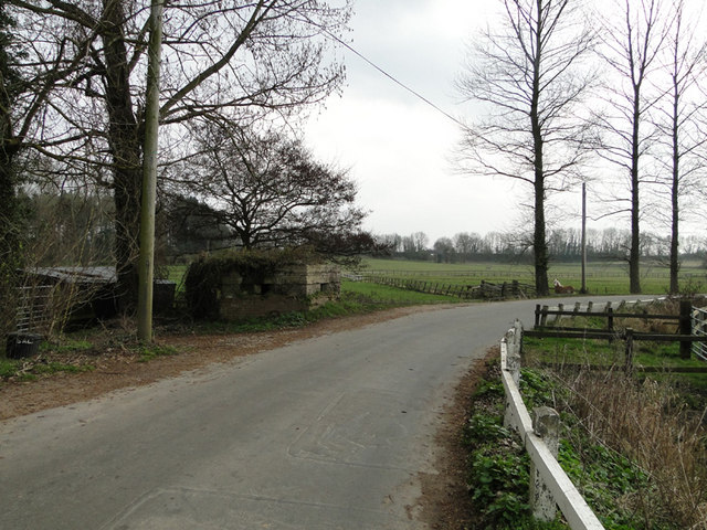
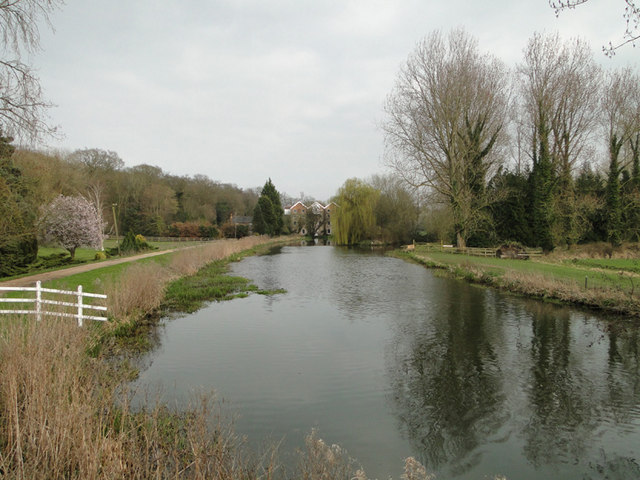
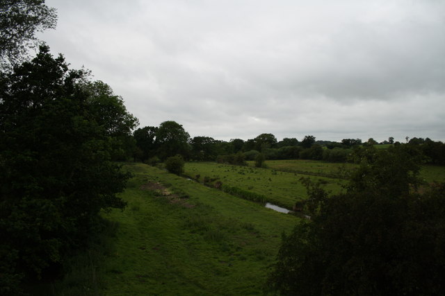
Covering an expanse of lush greenery, Woful Green boasts an abundance of woodlands and forests, creating a haven for nature enthusiasts and outdoor lovers alike. The area is characterized by its ancient trees, including oak, beech, and birch, which provide a habitat for a diverse range of wildlife, such as deer, foxes, and various bird species. These woodlands offer a peaceful retreat for visitors, allowing them to immerse themselves in the tranquility of nature.

Woful Green is also home to several walking and hiking trails, which wind their way through the enchanting forests, offering breathtaking views and opportunities for exploration. The area is a popular destination for outdoor activities such as picnicking, birdwatching, and photography.

In addition to its natural beauty, Woful Green is in close proximity to several charming villages and towns, providing visitors with opportunities to explore the local culture and history. The area is dotted with quaint cottages and traditional pubs, where visitors can experience the warm hospitality of the local community.

With its idyllic landscapes, diverse wildlife, and tranquil ambiance, Woful Green, Norfolk, offers a serene escape from the hustle and bustle of modern life, making it a must-visit destination for nature lovers and those seeking a peaceful retreat.

If you have any feedback on the listing, please let us know in the comments section below.
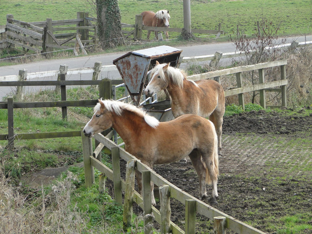
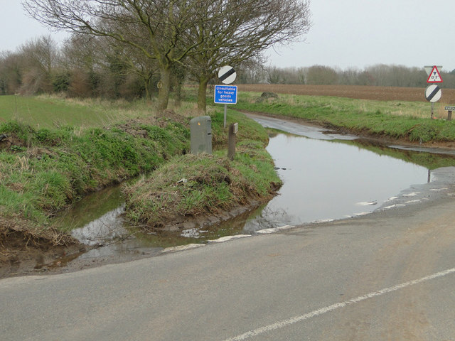
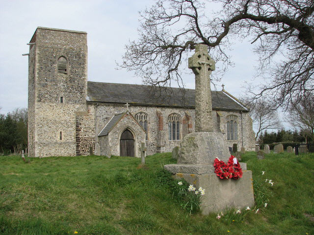
Woful Green Images

Images are sourced within 2km of 52.777899/1.3095098 or Grid Reference TG2325. Thanks to Geograph Open Source API. All images are credited.

Haflinger horses at King's Beck along the River Bure See more here > <a title="https://www.geograph.org.uk/photo/1127152" href="https://www.geograph.org.uk/photo/1127152">Link</a>
Haflinger horses at King's Beck along the River Bure
See more here > Link
Flooded road near Brampton station
Brampton Station from the road The station is built on an embankment and the road passes beneath the line nearby.
Brampton Station from the road
The station is built on an embankment and the road passes beneath the line nearby.
Roadsigns near Brampton Station... ...the line of which can be seen in the background on the left of the picture.
Roadsigns near Brampton Station...
...the line of which can be seen in the background on the left of the picture.
Pillbox near King's Beck, Oxnead
River Bure at King's Beck, Oxnead.. ...with the watermill in the background.
River Bure at King's Beck, Oxnead..
...with the watermill in the background.
The Mermaid This is a view of the stream shown on the map as The Mermaid from a Bure Valley Railway train.
The Mermaid
This is a view of the stream shown on the map as The Mermaid from a Bure Valley Railway train.
Bure Valley Railway and Bure Valley Path The railway and path cross a bridge over a minor road connecting Buxton with Brampton.
Bure Valley Railway and Bure Valley Path
The railway and path cross a bridge over a minor road connecting Buxton with Brampton.
Bure Valley Railway passing loop This passing loop is on the Buxton side of Brampton station. On the right is the Bure Valley Path.
Bure Valley Railway passing loop
This passing loop is on the Buxton side of Brampton station. On the right is the Bure Valley Path.
Bure Valley Railway passing loop The passing loop near Brampton station is seen from a BVR train heading towards Aylsham. On the right is the Bure Valley Path.
Bure Valley Railway passing loop
The passing loop near Brampton station is seen from a BVR train heading towards Aylsham. On the right is the Bure Valley Path.
"It does exactly what it says on the tin" Seen from an Aylsham-bound Bure Valley Railway train already waiting in the passing loop, a Wroxham-bound BVR train proceeds along the other track. The Bure Valley Path can also be seen.
"It does exactly what it says on the tin"
Seen from an Aylsham-bound Bure Valley Railway train already waiting in the passing loop, a Wroxham-bound BVR train proceeds along the other track. The Bure Valley Path can also be seen.
Leaving the passing loop A Bure Valley Railway train leaves the passing loop near Brampton station on its way to Aylsham. On the right is the Bure Valley Path.
Leaving the passing loop
A Bure Valley Railway train leaves the passing loop near Brampton station on its way to Aylsham. On the right is the Bure Valley Path.
Bure Valley Railway and Bure Valley Path Here the railway and path cross over the road connecting Brampton with the Buxton-Aylsham road.
Bure Valley Railway and Bure Valley Path
Here the railway and path cross over the road connecting Brampton with the Buxton-Aylsham road.
Entering Brampton station A Bure Valley Railway train, heading towards Aylsham, enters the short single platform station at Brampton. Pedestrian access to the station is via the Bure Valley Path.
Entering Brampton station
A Bure Valley Railway train, heading towards Aylsham, enters the short single platform station at Brampton. Pedestrian access to the station is via the Bure Valley Path.
Bure Valley Railway and Bure Valley Path The railway and path curve out of the Brampton station area and head towards Aylsham.
Bure Valley Railway and Bure Valley Path
The railway and path curve out of the Brampton station area and head towards Aylsham.
Bure Valley Railway and Bure Valley Path This bridge over the railway and path carries a minor road, connecting Brampton with the Buxton-Aylsham road. On some maps this road is named Back Lane.
Bure Valley Railway and Bure Valley Path
This bridge over the railway and path carries a minor road, connecting Brampton with the Buxton-Aylsham road. On some maps this road is named Back Lane.
Bridge over the Bure Valley Railway This bridge carries a road connecting Brampton Hall to the Buxton-Aylsham road. It also passes over the Bure Valley Path.
Bridge over the Bure Valley Railway
This bridge carries a road connecting Brampton Hall to the Buxton-Aylsham road. It also passes over the Bure Valley Path.
Bure Valley Railway and Bure Valley Path This bridge takes the railway and path over the stream shown on the map as The Mermaid.
Bure Valley Railway and Bure Valley Path
This bridge takes the railway and path over the stream shown on the map as The Mermaid.
Show me another place!

Woful Green is located at Grid Ref: TG2325 (Lat: 52.777899, Lng: 1.3095098)

Administrative County: Norfolk

District: Broadland

Police Authority: Norfolk

What 3 Words

///burden.refusals.fillings. Near Buxton, Norfolk

Nearby Locations

Woful Green King's Covert

Related Wikis

Skeyton

Skeyton is a small village and civil parish in the English county of Norfolk. The village and parish of Skeyton had in the 2001 census a population of...

Oxnead

Oxnead is a lost settlement and former civil parish, now in the parish of Brampton, in the Broadland district, in the county of Norfolk, England. It is...

Burgh and Tuttington

Burgh and Tuttington is a civil parish in the English county of Norfolk. It covers an area of 6.70 km2 (2.59 sq mi) and had a population of 255 in 115...

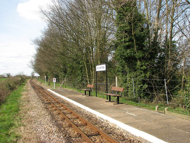
Brampton railway station (Norfolk)

Brampton railway station serves the village of Brampton in Norfolk and is operated by the Bure Valley Railway, a narrow gauge heritage railway operation...

Have you been to Woful Green?

Leave your review of Woful Green below (or comments, questions and feedback).