Church Wood
Wood, Forest in Norfolk South Norfolk
England
Church Wood
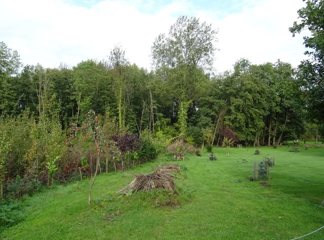
Church Wood is a picturesque woodland located in Norfolk, England. Covering an area of approximately 50 acres, it is situated near the village of Norfolk. The wood is known for its diverse range of flora and fauna, making it a haven for nature enthusiasts and wildlife lovers alike.
The wood consists primarily of broadleaf trees, including oak, beech, and ash, providing a vibrant and lush canopy. The forest floor is adorned with a variety of wildflowers, such as bluebells and primroses, which add a splash of color to the landscape during the spring months. The wood is also home to several species of ferns, mosses, and lichens, creating a rich tapestry of plant life.
Church Wood is famous for its abundant wildlife. Visitors may spot various bird species, including woodpeckers, owls, and warblers, as well as small mammals like rabbits and squirrels. It is not uncommon to come across deer roaming freely in the wood, adding to its enchanting atmosphere.
The wood is crisscrossed by a network of well-maintained footpaths, allowing visitors to explore its beauty at their own pace. These paths lead to a small, quaint church nestled within the wood, which adds an element of tranquility and spirituality to the area.
Church Wood offers a peaceful escape from the hustle and bustle of daily life, providing an opportunity to connect with nature and enjoy its serene surroundings. Whether one is seeking a leisurely stroll, a bird-watching adventure, or simply a place to unwind, Church Wood is a must-visit destination in Norfolk.
If you have any feedback on the listing, please let us know in the comments section below.
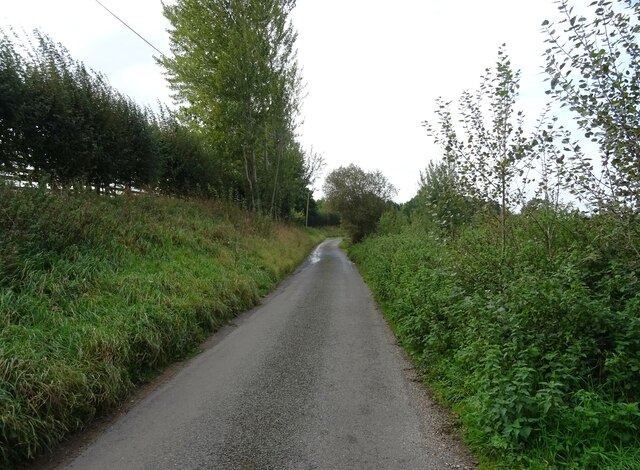
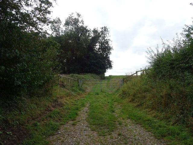
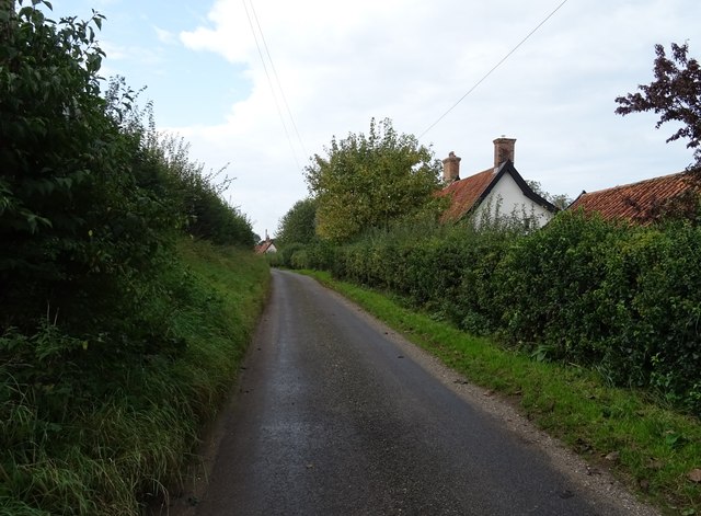
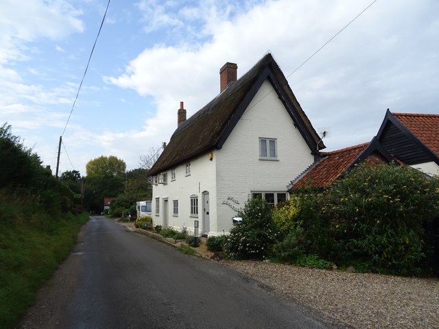
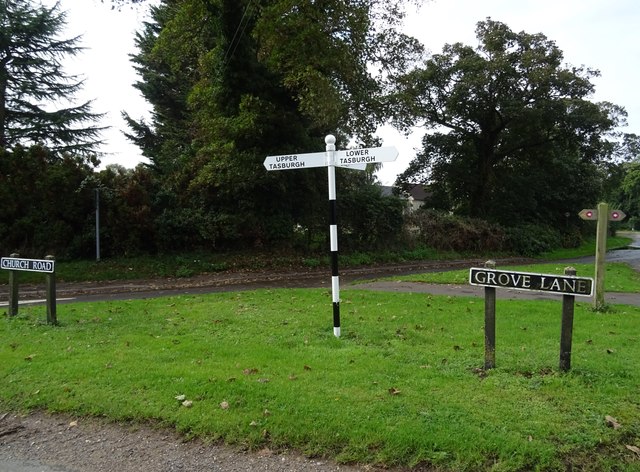
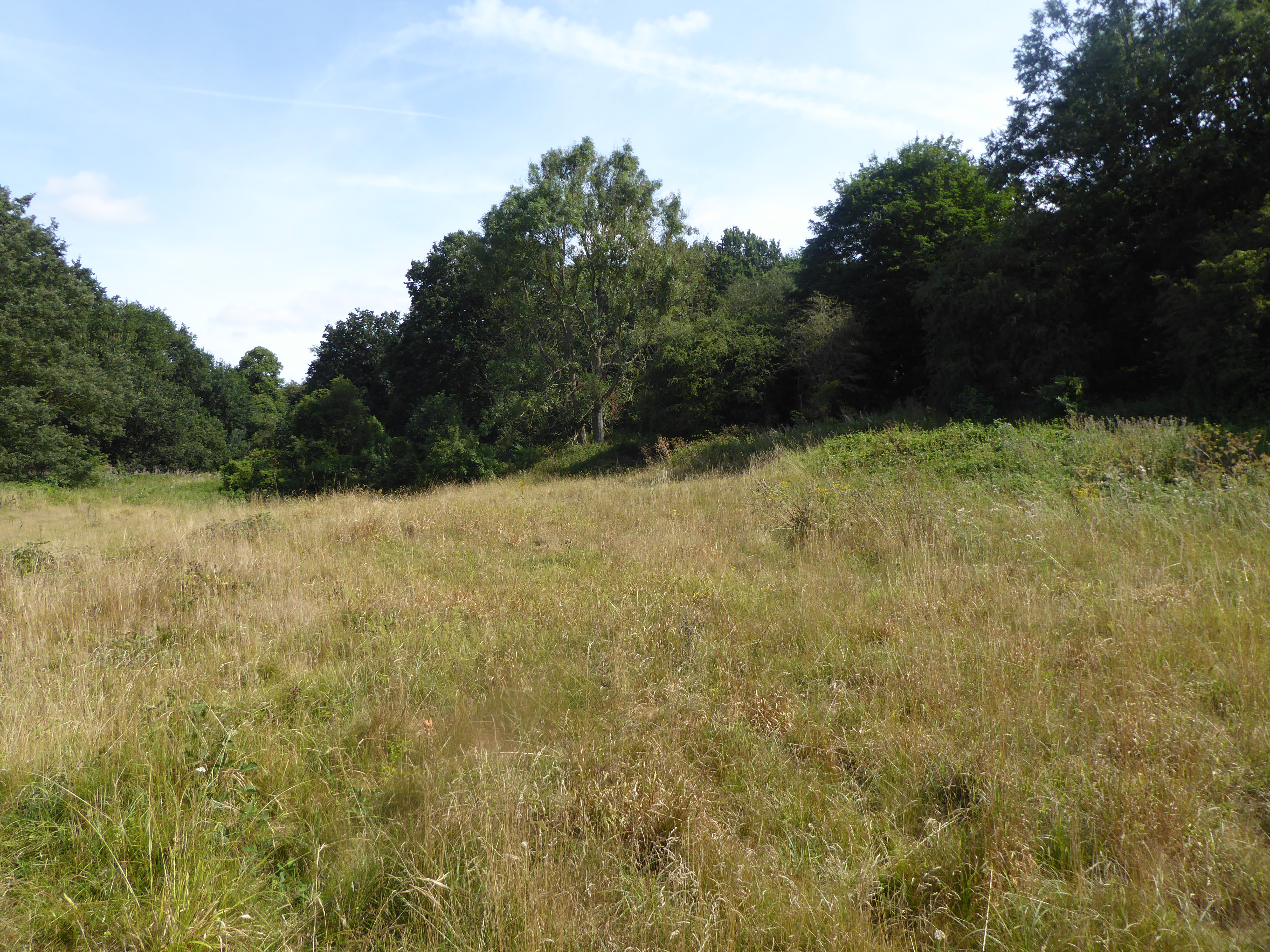
Church Wood Images
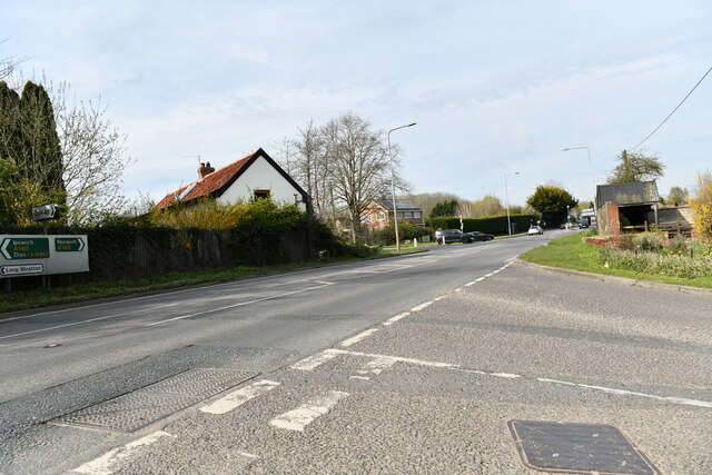
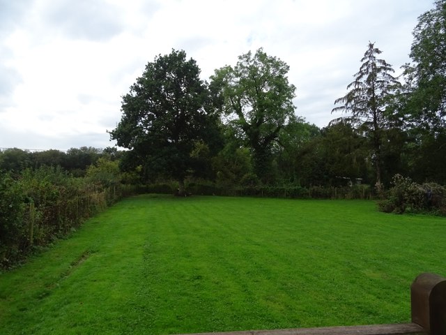
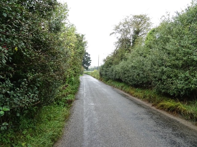
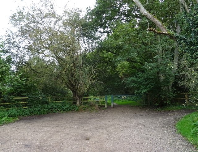
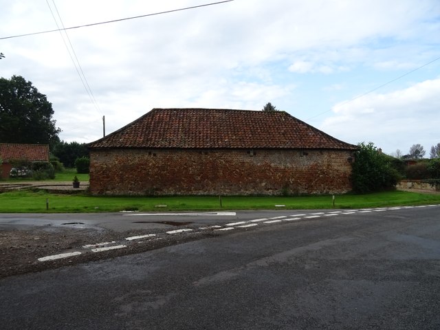
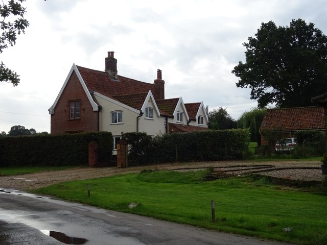
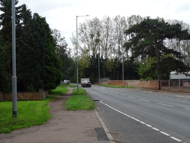
Images are sourced within 2km of 52.530265/1.2503045 or Grid Reference TM2097. Thanks to Geograph Open Source API. All images are credited.

Church Wood is located at Grid Ref: TM2097 (Lat: 52.530265, Lng: 1.2503045)
Administrative County: Norfolk
District: South Norfolk
Police Authority: Norfolk
What 3 Words
///brain.aimless.suits. Near Mulbarton, Norfolk
Related Wikis

Newton Flotman
Newton Flotman, meaning new farm or settlement, is a village and civil parish in the English county of Norfolk, lies about 7 miles (11 km) south of Norwich...

A140 road
The A140 is an 'A-class' road in Norfolk and Suffolk, East Anglia, England partly following the route of the Roman Pye Road. It runs from the A14 near...

Flordon railway station
Flordon railway station served the village of Flordon, Norfolk. It was opened in 1849, when the line from London Liverpool Street to Norwich Victoria was...
Smockmill Common
Smockmill Common is a 10-hectare (25-acre) Local Nature Reserve on the eastern outskirts of Newton Flotman in Norfolk. It is owned by the Shotesham Estate...
Nearby Amenities
Located within 500m of 52.530265,1.2503045Have you been to Church Wood?
Leave your review of Church Wood below (or comments, questions and feedback).