Moon Plantation
Wood, Forest in Norfolk North Norfolk
England
Moon Plantation
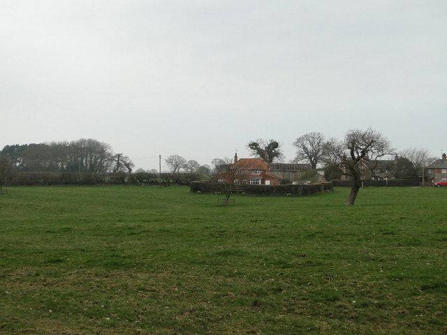
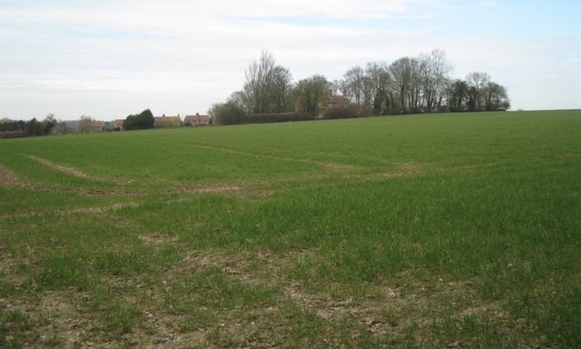
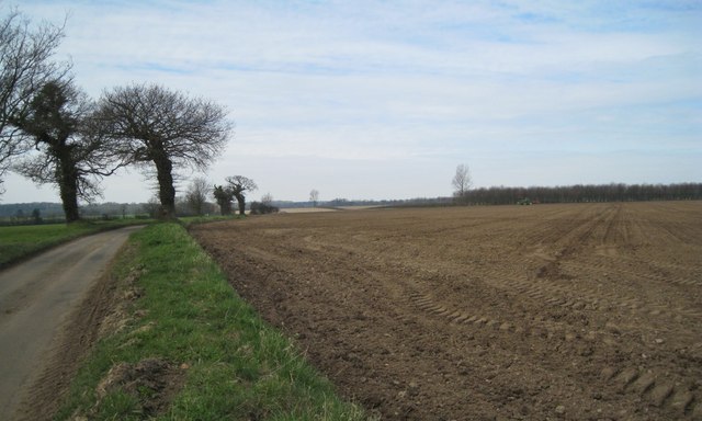
Moon Plantation is a picturesque woodland located in Norfolk, England. Covering an area of approximately 200 acres, this enchanting forest is known for its dense woodlands and serene atmosphere. Nestled amidst rolling hills and scenic landscapes, Moon Plantation offers visitors a tranquil retreat from the hustle and bustle of city life.
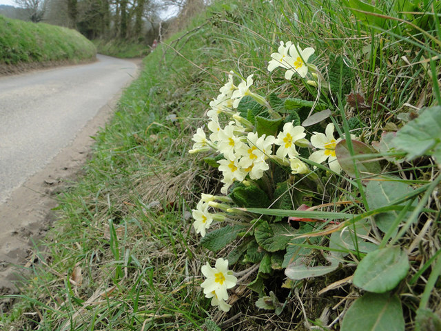
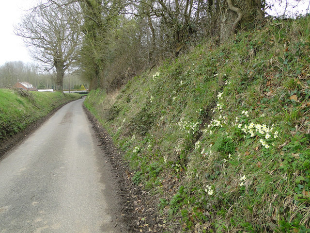
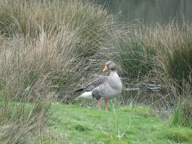
The plantation is primarily composed of various species of trees, including oak, beech, and birch, which create a diverse and lush canopy. The forest floor is adorned with a vibrant carpet of wildflowers, adding a splash of color to the surroundings. This rich ecosystem provides a haven for a wide range of wildlife, making it a popular spot for nature enthusiasts and bird watchers.
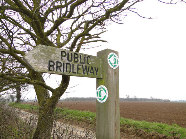
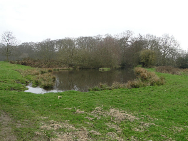
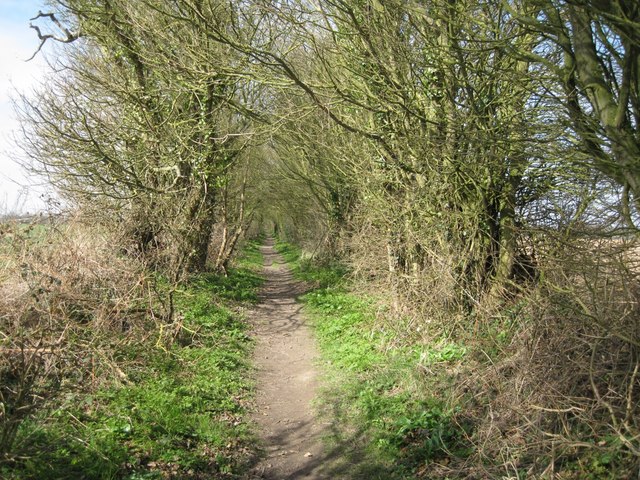
Visitors to Moon Plantation can explore its numerous walking trails, allowing them to immerse themselves in the breathtaking beauty of the woodland. The trails wind through ancient groves and alongside babbling brooks, offering opportunities for peaceful strolls and moments of reflection. The plantation also features picnic areas, where families and friends can gather for a leisurely lunch amidst nature's embrace.
Moon Plantation is not only a haven for nature lovers, but it also plays a vital role in preserving the local environment. The woodland is managed sustainably, with efforts to protect and enhance its biodiversity. Conservation projects are regularly undertaken to maintain the health of the plantation and safeguard its natural beauty for future generations.
Overall, Moon Plantation is a hidden gem in Norfolk, offering a serene haven for those seeking solace in nature. With its captivating landscapes, diverse flora and fauna, and commitment to conservation, this woodland is a true delight for all who visit.
If you have any feedback on the listing, please let us know in the comments section below.
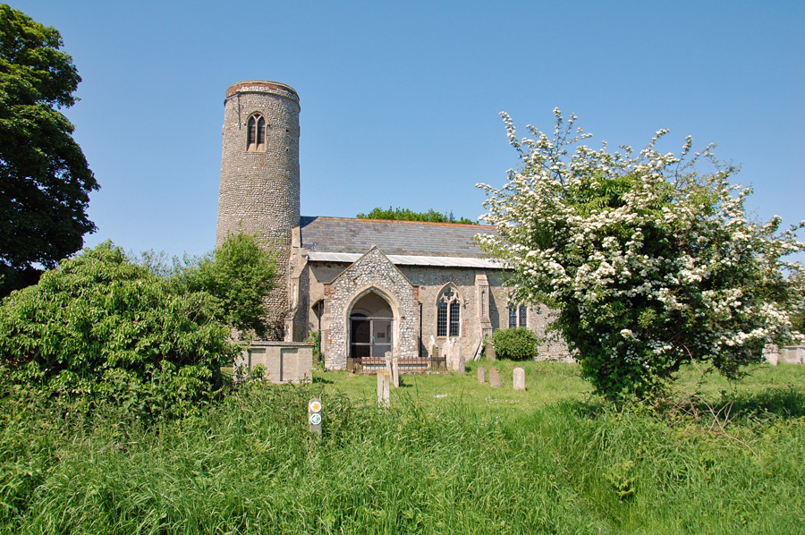
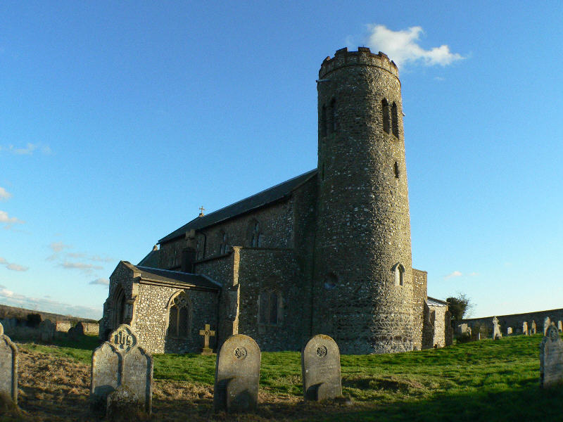
Moon Plantation Images
Images are sourced within 2km of 52.867898/1.2754471 or Grid Reference TG2035. Thanks to Geograph Open Source API. All images are credited.


Moon Plantation is located at Grid Ref: TG2035 (Lat: 52.867898, Lng: 1.2754471)
Administrative County: Norfolk
District: North Norfolk
Police Authority: Norfolk
What 3 Words
///leotard.adopters.trappings. Near Overstrand, Norfolk
Nearby Locations
Related Wikis

Hanworth, Norfolk
Hanworth is a village and a civil parish in the English county of Norfolk. It is 18.8 miles (30.3 km) north of Norwich, 5.4 miles (8.7 km) south-west of...
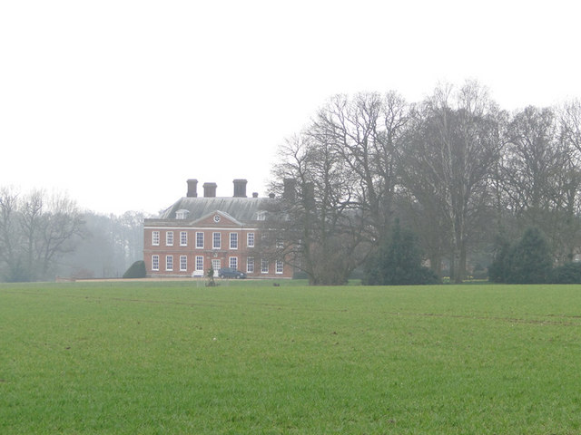
Hanworth Hall
Hanworth Hall is a large late 17th century country house some 500m to the south of the village of Hanworth, Norfolk, England. It is protected and recognised...

Gur Beck
Gur Beck is a minor watercourse which rises in the north of the English county of Norfolk. It is a tributary of the Scarrow Beck. Its spring is a little...

Gunton Park Lake
Gunton Park Lake is a 18.3-hectare (45-acre) biological Site of Special Scientific Interest by Gunton Hall, north-west of North Walsham in Norfolk. It...

Hagon Beck
Hagon Beck is a minor watercourse which rises in the north of the English county of Norfolk. It falls into Great Lake in Gunton Park, which in turn feeds...
Alby with Thwaite
Alby with Thwaite is a civil parish in the English county of Norfolk. The parish straddles the A140 some 10 km south of Cromer and 30 km north of Norwich...
Roughton, Norfolk
Roughton is a village and a civil parish in the English county of Norfolk. The village is 3.7 miles (6.0 km) south of Cromer, 19.6 miles (31.5 km) north...

Metton, Norfolk
Metton is a small village and former civil parish, now in the parish of Sustead, in the North Norfolk district, in the county of Norfolk, England. The...
Nearby Amenities
Located within 500m of 52.867898,1.2754471Have you been to Moon Plantation?
Leave your review of Moon Plantation below (or comments, questions and feedback).