Big Wood

Wood, Forest in Norfolk South Norfolk

England

Big Wood

Swardeston: Village pond
Swardeston: Village pond Credit: Michael Garlick

Big Wood is a forest located in Norfolk, England. It covers an area of approximately 50 acres and is known for its dense woodland and diverse wildlife. The woodland is primarily composed of broadleaf trees such as oak, ash, and beech, which create a rich and vibrant ecosystem.

The forest is a popular destination for nature enthusiasts and birdwatchers, as it provides a habitat for a wide variety of bird species. Visitors can often spot birds such as woodpeckers, owls, and songbirds, as well as rare species like the nightjar. The woodland also supports a range of other wildlife, including deer, foxes, badgers, and squirrels.

Big Wood is intersected by several footpaths and trails, allowing visitors to explore its natural beauty. These paths wind their way through the forest, offering scenic views and opportunities for peaceful walks and picnics. The forest is also a designated Site of Special Scientific Interest (SSSI), recognizing its ecological importance and unique biodiversity.

In addition to its natural beauty, Big Wood has historical significance. It is believed to have been used as a hunting ground during medieval times, and there are remnants of ancient earthworks scattered throughout the forest. These historical features add to the charm and intrigue of the woodland.

Overall, Big Wood is a captivating destination for those seeking a peaceful retreat in the heart of nature. Its stunning woodland, diverse wildlife, and historical significance make it a cherished natural asset in Norfolk.

If you have any feedback on the listing, please let us know in the comments section below.
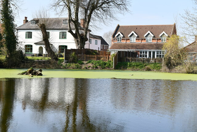
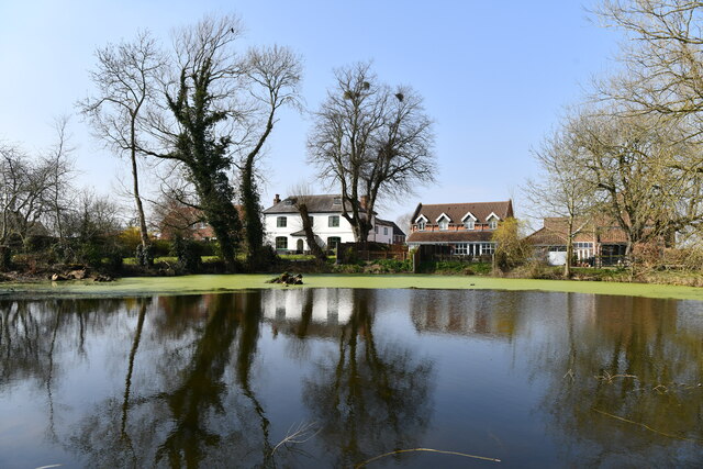
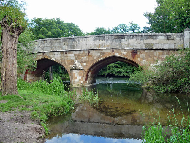
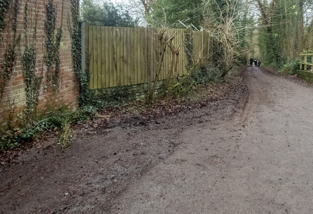
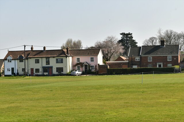
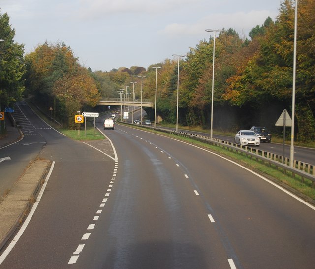
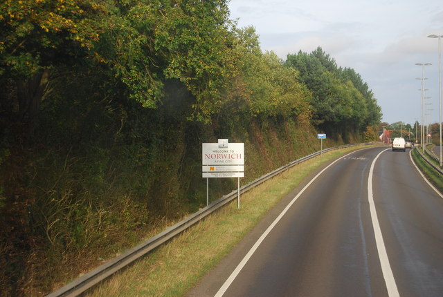
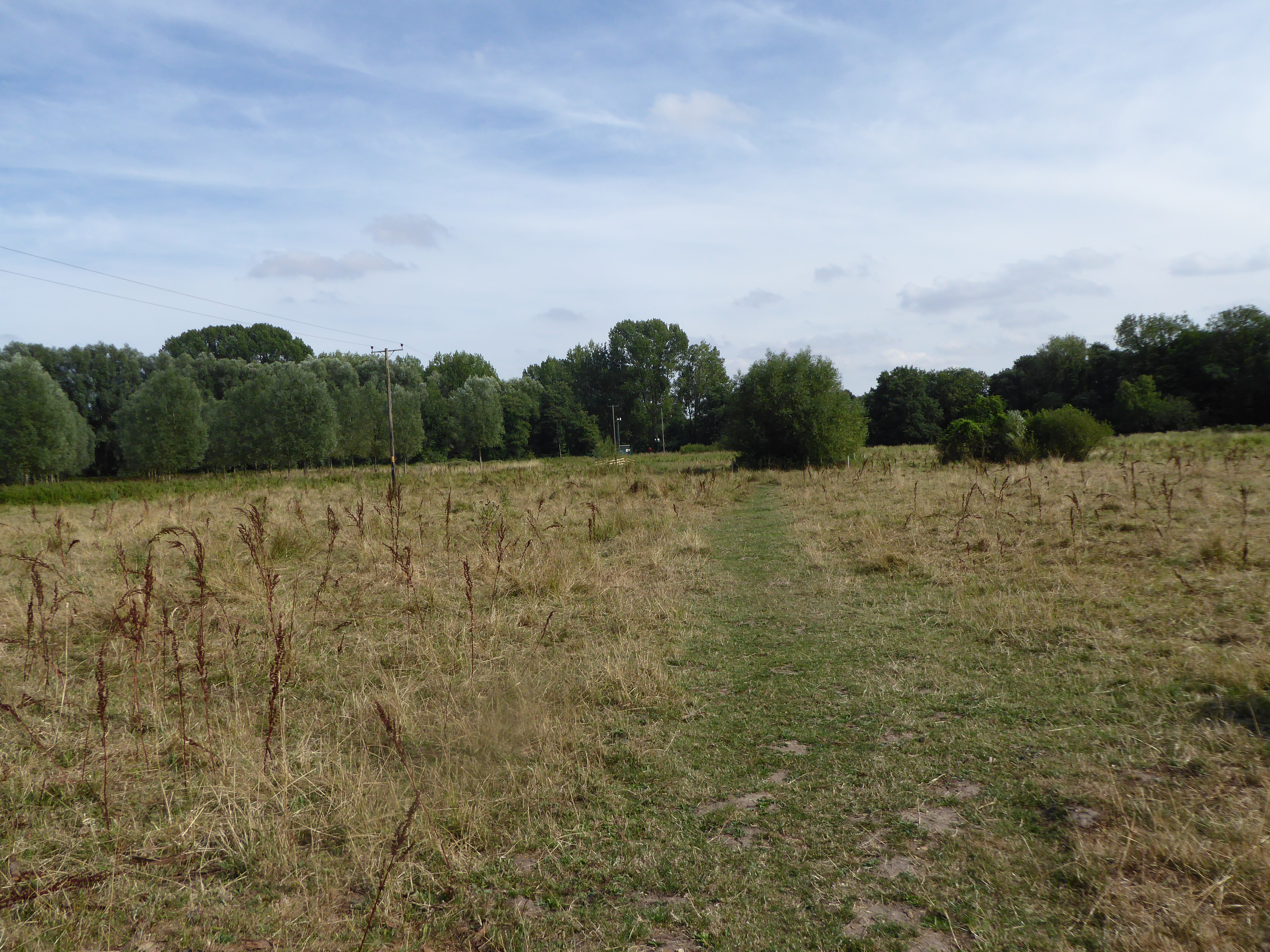
Big Wood Images

Images are sourced within 2km of 52.592613/1.2547286 or Grid Reference TG2004. Thanks to Geograph Open Source API. All images are credited.

Swardeston: Village pond
Swardeston: Village pond and houses in Chestnut Close
Swardeston: The Cricket Pavilion
The A47 west approaching junction with A11
Footbridge over the A47 west approaching junction with A11
Bridge, Cringleford Built in 1520, replacing a bridge washed away in 1519, and widened in 1780. The facings are in limestone, "a rarity in Norfolk other than for churches and bridges". Grade II* listed.
It carries Eaton Street over the River Yare.
Bridge, Cringleford
Built in 1520, replacing a bridge washed away in 1519, and widened in 1780. The facings are in limestone, "a rarity in Norfolk other than for churches and bridges". Grade II* listed. It carries Eaton Street over the River Yare.
Newmarket Road, Cringleford
Marston Lane, Eaton This view is looking roughly west along Marston Lane, a pleasant amble from the Ipswich Road eventually to the Newmarket Road. There is a benchmark <a href="https://www.geograph.org.uk/photo/7054771">TG2105 : Benchmark behind the ivy</a> on the wall on the left - about 5 brick lengths in from the wooden fencing and 5 rows up. It required a good deal of ivy removal to reveal it.
Marston Lane, Eaton
This view is looking roughly west along Marston Lane, a pleasant amble from the Ipswich Road eventually to the Newmarket Road. There is a benchmark TG2105 : Benchmark behind the ivy on the wall on the left - about 5 brick lengths in from the wooden fencing and 5 rows up. It required a good deal of ivy removal to reveal it.
Benchmark behind the ivy This benchmark is on a barn a little way along Marston Lane from the Ipswich Road <a href="https://www.geograph.org.uk/photo/7054766">TG2105 : Marston Lane, Eaton</a>. <span class="nowrap"><a title="https://www.bench-marks.org.uk/bm160752" rel="nofollow ugc noopener" href="https://www.bench-marks.org.uk/bm160752">Link</a><img style="margin-left:2px;" alt="External link" title="External link - shift click to open in new window" src="https://s1.geograph.org.uk/img/external.png" width="10" height="10"/></span>
Benchmark behind the ivy
This benchmark is on a barn a little way along Marston Lane from the Ipswich Road TG2105 : Marston Lane, Eaton. LinkExternal link
Swardeston: Houses in The Common (road name)
The A47 west approaching junction with A140
Keswick: A47 bridge over the Ipswich Road roundabout
Old Milestone (north face) by the B1113, south of Harford Bridge Carved stone post by the B1113, in parish of KESWICK (SOUTH NORFOLK District), North West side of junction with the A140 next to traffic lights, on the verge, on the West side of road. New Buckenham wedge, erected by the New Buckenham turnpike trust in the 19th century. 

Inscription reads:- : NORWICH / 2 / MILES : : KESWICK : : NEW BUCKENHAM / 13 / MILES / LONDON / 107 MILES :

Carved bench mark on top.

Listed. 

Milestone Society National ID: NO_NNB02.
Old Milestone (north face) by the B1113, south of Harford Bridge
Carved stone post by the B1113, in parish of KESWICK (SOUTH NORFOLK District), North West side of junction with the A140 next to traffic lights, on the verge, on the West side of road. New Buckenham wedge, erected by the New Buckenham turnpike trust in the 19th century. Inscription reads:- : NORWICH / 2 / MILES : : KESWICK : : NEW BUCKENHAM / 13 / MILES / LONDON / 107 MILES : Carved bench mark on top. Listed. Milestone Society National ID: NO_NNB02.
Roundabout. A11 The A11 is a major road in Eastern England. It runs roughly north east for 111 miles from London to Norwich, With the M11 opening in the 1970s and then the A12 extension in 1999, a lengthy section has been downgraded between the suburbs of east London and the north-west corner of the county of Essex. It also overlaps with the A14 on the Newmarket bypass.
<span class="nowrap"><a title="http://www.sabre-roads.org.uk/wiki/index.php?title=A11" rel="nofollow ugc noopener" href="http://www.sabre-roads.org.uk/wiki/index.php?title=A11">Link</a><img style="margin-left:2px;" alt="External link" title="External link - shift click to open in new window" src="https://s1.geograph.org.uk/img/external.png" width="10" height="10"/></span>
Roundabout. A11
The A11 is a major road in Eastern England. It runs roughly north east for 111 miles from London to Norwich, With the M11 opening in the 1970s and then the A12 extension in 1999, a lengthy section has been downgraded between the suburbs of east London and the north-west corner of the county of Essex. It also overlaps with the A14 on the Newmarket bypass. LinkExternal link
A11 The A11 is a major road in Eastern England. It runs roughly north east for 111 miles from London to Norwich, With the M11 opening in the 1970s and then the A12 extension in 1999, a lengthy section has been downgraded between the suburbs of east London and the north-west corner of the county of Essex. It also overlaps with the A14 on the Newmarket bypass.
<span class="nowrap"><a title="http://www.sabre-roads.org.uk/wiki/index.php?title=A11" rel="nofollow ugc noopener" href="http://www.sabre-roads.org.uk/wiki/index.php?title=A11">Link</a><img style="margin-left:2px;" alt="External link" title="External link - shift click to open in new window" src="https://s1.geograph.org.uk/img/external.png" width="10" height="10"/></span>
A11
The A11 is a major road in Eastern England. It runs roughly north east for 111 miles from London to Norwich, With the M11 opening in the 1970s and then the A12 extension in 1999, a lengthy section has been downgraded between the suburbs of east London and the north-west corner of the county of Essex. It also overlaps with the A14 on the Newmarket bypass. LinkExternal link
Colney Lane Bridge, A11 The A11 is a major road in Eastern England. It runs roughly north east for 111 miles from London to Norwich, With the M11 opening in the 1970s and then the A12 extension in 1999, a lengthy section has been downgraded between the suburbs of east London and the north-west corner of the county of Essex. It also overlaps with the A14 on the Newmarket bypass.
<span class="nowrap"><a title="http://www.sabre-roads.org.uk/wiki/index.php?title=A11" rel="nofollow ugc noopener" href="http://www.sabre-roads.org.uk/wiki/index.php?title=A11">Link</a><img style="margin-left:2px;" alt="External link" title="External link - shift click to open in new window" src="https://s1.geograph.org.uk/img/external.png" width="10" height="10"/></span>
Colney Lane Bridge, A11
The A11 is a major road in Eastern England. It runs roughly north east for 111 miles from London to Norwich, With the M11 opening in the 1970s and then the A12 extension in 1999, a lengthy section has been downgraded between the suburbs of east London and the north-west corner of the county of Essex. It also overlaps with the A14 on the Newmarket bypass. LinkExternal link
A11, Cringleford The A11 is a major road in Eastern England. It runs roughly north east for 111 miles from London to Norwich, With the M11 opening in the 1970s and then the A12 extension in 1999, a lengthy section has been downgraded between the suburbs of east London and the north-west corner of the county of Essex. It also overlaps with the A14 on the Newmarket bypass.
<span class="nowrap"><a title="http://www.sabre-roads.org.uk/wiki/index.php?title=A11" rel="nofollow ugc noopener" href="http://www.sabre-roads.org.uk/wiki/index.php?title=A11">Link</a><img style="margin-left:2px;" alt="External link" title="External link - shift click to open in new window" src="https://s1.geograph.org.uk/img/external.png" width="10" height="10"/></span>
A11, Cringleford
The A11 is a major road in Eastern England. It runs roughly north east for 111 miles from London to Norwich, With the M11 opening in the 1970s and then the A12 extension in 1999, a lengthy section has been downgraded between the suburbs of east London and the north-west corner of the county of Essex. It also overlaps with the A14 on the Newmarket bypass. LinkExternal link
Entering Norwich, A11 The A11 is a major road in Eastern England. It runs roughly north east for 111 miles from London to Norwich, With the M11 opening in the 1970s and then the A12 extension in 1999, a lengthy section has been downgraded between the suburbs of east London and the north-west corner of the county of Essex. It also overlaps with the A14 on the Newmarket bypass.
<span class="nowrap"><a title="http://www.sabre-roads.org.uk/wiki/index.php?title=A11" rel="nofollow ugc noopener" href="http://www.sabre-roads.org.uk/wiki/index.php?title=A11">Link</a><img style="margin-left:2px;" alt="External link" title="External link - shift click to open in new window" src="https://s1.geograph.org.uk/img/external.png" width="10" height="10"/></span>
Entering Norwich, A11
The A11 is a major road in Eastern England. It runs roughly north east for 111 miles from London to Norwich, With the M11 opening in the 1970s and then the A12 extension in 1999, a lengthy section has been downgraded between the suburbs of east London and the north-west corner of the county of Essex. It also overlaps with the A14 on the Newmarket bypass. LinkExternal link
Show me another place!

Big Wood is located at Grid Ref: TG2004 (Lat: 52.592613, Lng: 1.2547286)

Administrative County: Norfolk

District: South Norfolk

Police Authority: Norfolk

What 3 Words

///rewarding.summer.lasted. Near Cringleford, Norfolk

Related Wikis

Eaton Common

Eaton Common is a 5.3-hectare (13-acre) Local Nature Reserve on the southern outskirts of Norwich in the county of Norfolk in England, United Kingdom...

Keswick, South Norfolk

Keswick is a village and former civil parish, now in the parish of Keswick and Intwood, in the South Norfolk district, in the county of Norfolk, England...

Intwood

Intwood is a village and former civil parish, now in the parish of Keswick and Intwood, in the South Norfolk district, in the county of Norfolk, England...

Norwich CEYMS F.C.

Norwich Church of England Young Men's Society Football Club, commonly called Norwich CEYMS, is a football club based in Swardeston, near Norwich, in Norfolk...

Nearby Amenities

Located within 500m of 52.592613,1.2547286
Turning Circle
Lat/Long: 52.5895937/1.2571402
Power: tower
Ref: 4VV 217
Lat/Long: 52.5895833/1.2493291
Power: tower
Ref: PO19
Lat/Long: 52.5895467/1.2503636
Post Box
Collection Times: Mo-Fr 09:00; Sa 07:00
Operator: Royal Mail
Post Box Type: lamp
Ref: NR4 418D
Royal Cypher: EIIR
Royal Cypher Wikidata: Q33102113
Lat/Long: 52.5955979/1.2561895
Grit Bin
Colour: yellow
Lat/Long: 52.5919987/1.2604656
Post Box
Collection Times: Mo-Fr 09:00; Sa 07:00
Operator: Royal Mail
Post Box Type: lamp
Ref: NR4 417D
Royal Cypher: EIIR
Royal Cypher Wikidata: Q33102113
Lat/Long: 52.5906355/1.2566628
Grit Bin
Lat/Long: 52.5909207/1.2580141
Power: pole
Lat/Long: 52.596918/1.255226
Power: pole
Lat/Long: 52.596656/1.256862
Power: pole
Lat/Long: 52.5964/1.258393
Bus Stop
Keswick Hall Road
Naptan AtcoCode: 2900K046
Naptan Bearing: W
Naptan BusStopType: CUS
Naptan CommonName: Keswick Hall Road
Naptan Indicator: adj
Naptan Landmark: Keswick Hall
Naptan Locality: Keswick
Naptan NaptanCode: nfodagtw
Naptan PlusbusZoneRef: NRCH
Naptan ShortCommonName: Keswick Hall Road
Naptan Street: Keswick Hall Road
Operator: Anglian Coaches Ltd.
Physically Present: no
Source: naptan_import;survey
Lat/Long: 52.5904693/1.2557557
Bus Stop
Low Road
Naptan AtcoCode: 2900K050
Naptan Bearing: SE
Naptan BusStopType: CUS
Naptan CommonName: Old Hall
Naptan Indicator: adj
Naptan Landmark: Keswick Old Hall
Naptan Locality: Keswick
Naptan NaptanCode: nfogmtjt
Naptan PlusbusZoneRef: NRCH
Naptan Street: Low Road
Operator: Anglian Coaches Ltd.
Physically Present: no
Shelter: no
Source: naptan_import;survey
Lat/Long: 52.5952481/1.2572771
Bus Stop
Low Road
Naptan AtcoCode: 2900K053
Naptan Bearing: NW
Naptan BusStopType: CUS
Naptan CommonName: Old Hall
Naptan Indicator: opp
Naptan Landmark: Keswick Old Hall
Naptan Locality: Keswick
Naptan NaptanCode: nfogmtjw
Naptan PlusbusZoneRef: NRCH
Naptan Street: Low Road
Operator: Anglian Coaches Ltd.
Physically Present: no
Shelter: no
Source: naptan_import;survey
Lat/Long: 52.5951384/1.2570178
Keswick Hall
Tourism: attraction
Wikidata: Q26593123
Lat/Long: 52.590347/1.258407
Phone
Check Date: 2021-08-14
Emergency: phone
Ref: 237B
Lat/Long: 52.588874/1.2506729
Traffic Calming: bump
Lat/Long: 52.5904799/1.2565691
Give Way
Lat/Long: 52.5937208/1.261104
Give Way
Lat/Long: 52.5920097/1.2603746
Defibrillator
Defibrillator Location: attached to building near post box in Keswick
Emergency: defibrillator
Indoor: no
Ref GB The Circuit: 73D2592A-51B1-469A-86DB-ADB90129E192
Lat/Long: 52.5956078/1.2562324
Paradise Hole
Place: locality
Lat/Long: 52.5910272/1.2512129
Traffic Calming: bump
Lat/Long: 52.5894091/1.2572459
Traffic Calming: bump
Lat/Long: 52.5898979/1.2569821
The data included in this document is from www.openstreetmap.org. The data is made available under ODbL.

Have you been to Big Wood?

Leave your review of Big Wood below (or comments, questions and feedback).