Keswick

Settlement in Norfolk South Norfolk

England

Keswick

The A47 west approaching junction with A11
The A47 west approaching junction with A11 Credit: Roy Hughes

Keswick is a small village located in the county of Norfolk, England. Situated in the east of the country, it lies approximately 15 miles north of Norwich, the county's capital city. Keswick is a predominantly rural area, surrounded by picturesque countryside and rolling hills.

The village itself is characterized by its charming and quaint atmosphere, with traditional Norfolk-style houses and buildings lining its streets. The community in Keswick is tight-knit, with a population of around 500 residents, creating a friendly and welcoming environment for both residents and visitors.

Despite its small size, Keswick boasts a number of amenities and facilities to cater to the needs of its residents. These include a local primary school, a village hall, and a pub, which serves as a social hub for the community. There are also several parks and green spaces in and around the village, providing opportunities for outdoor activities and leisurely walks.

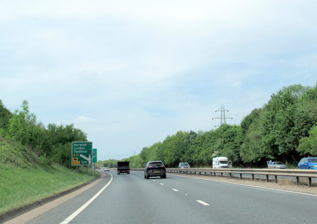
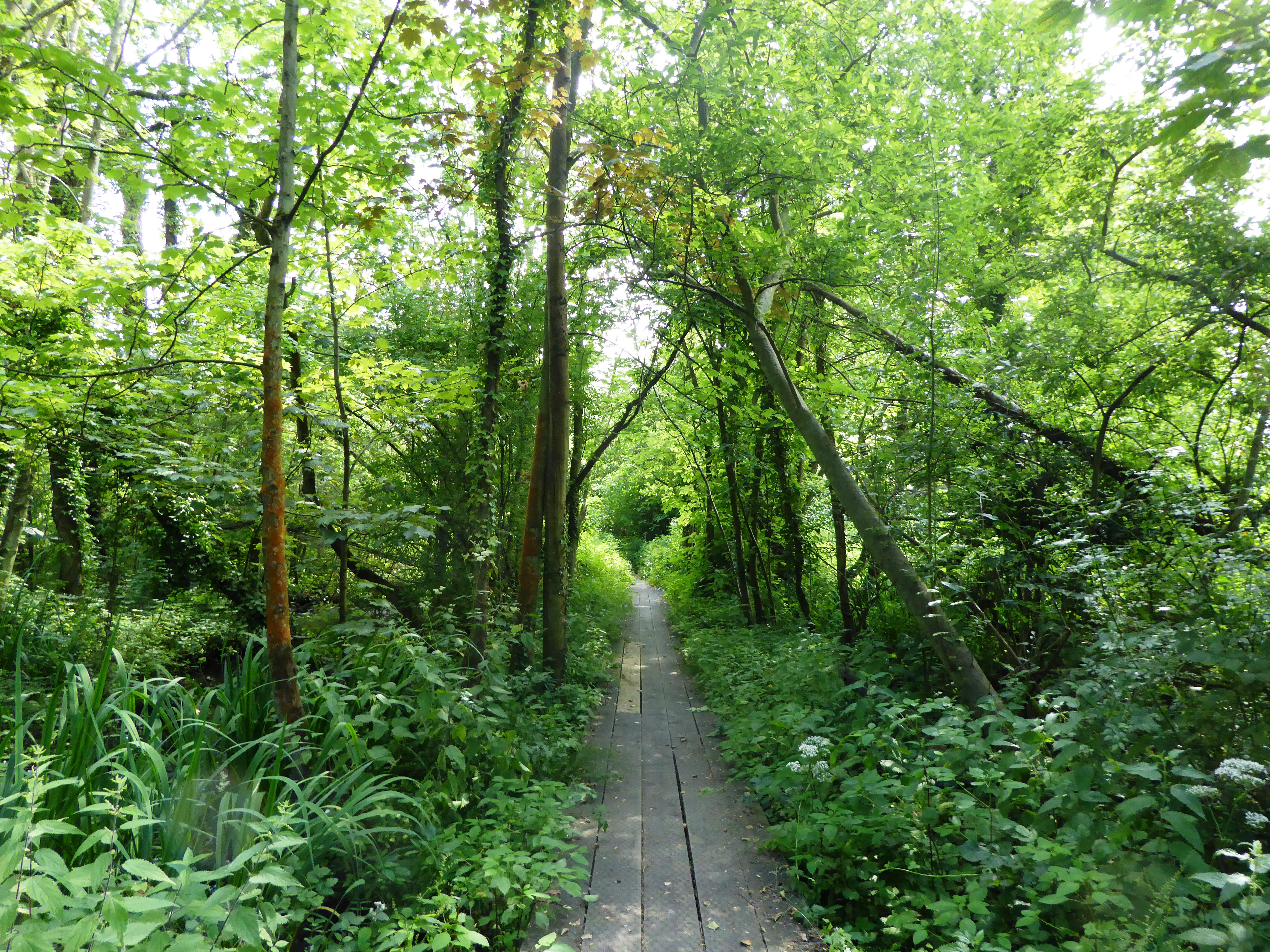
Keswick's location offers easy access to the surrounding countryside, making it an attractive destination for nature lovers and outdoor enthusiasts. The village is situated near the Norfolk Broads, a network of rivers and lakes renowned for its natural beauty and diverse wildlife. Additionally, the nearby Bure Valley Railway provides a scenic journey through the countryside, offering visitors a unique way to explore the area.

In conclusion, Keswick, Norfolk is a charming rural village with a strong sense of community and a tranquil setting. It is an ideal destination for those seeking a peaceful retreat and an opportunity to immerse themselves in the beauty of the Norfolk countryside.

If you have any feedback on the listing, please let us know in the comments section below.
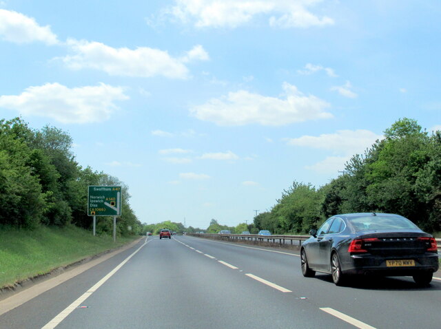
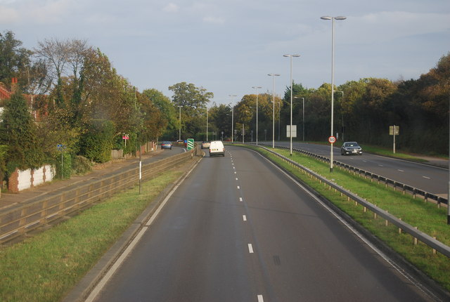
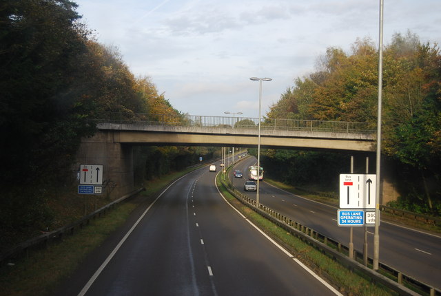
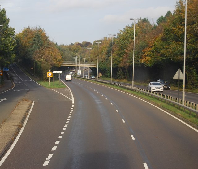
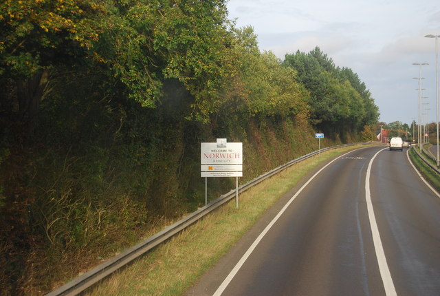
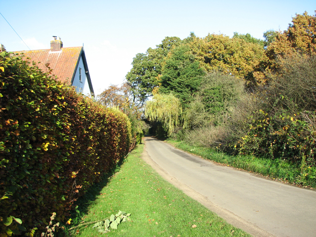
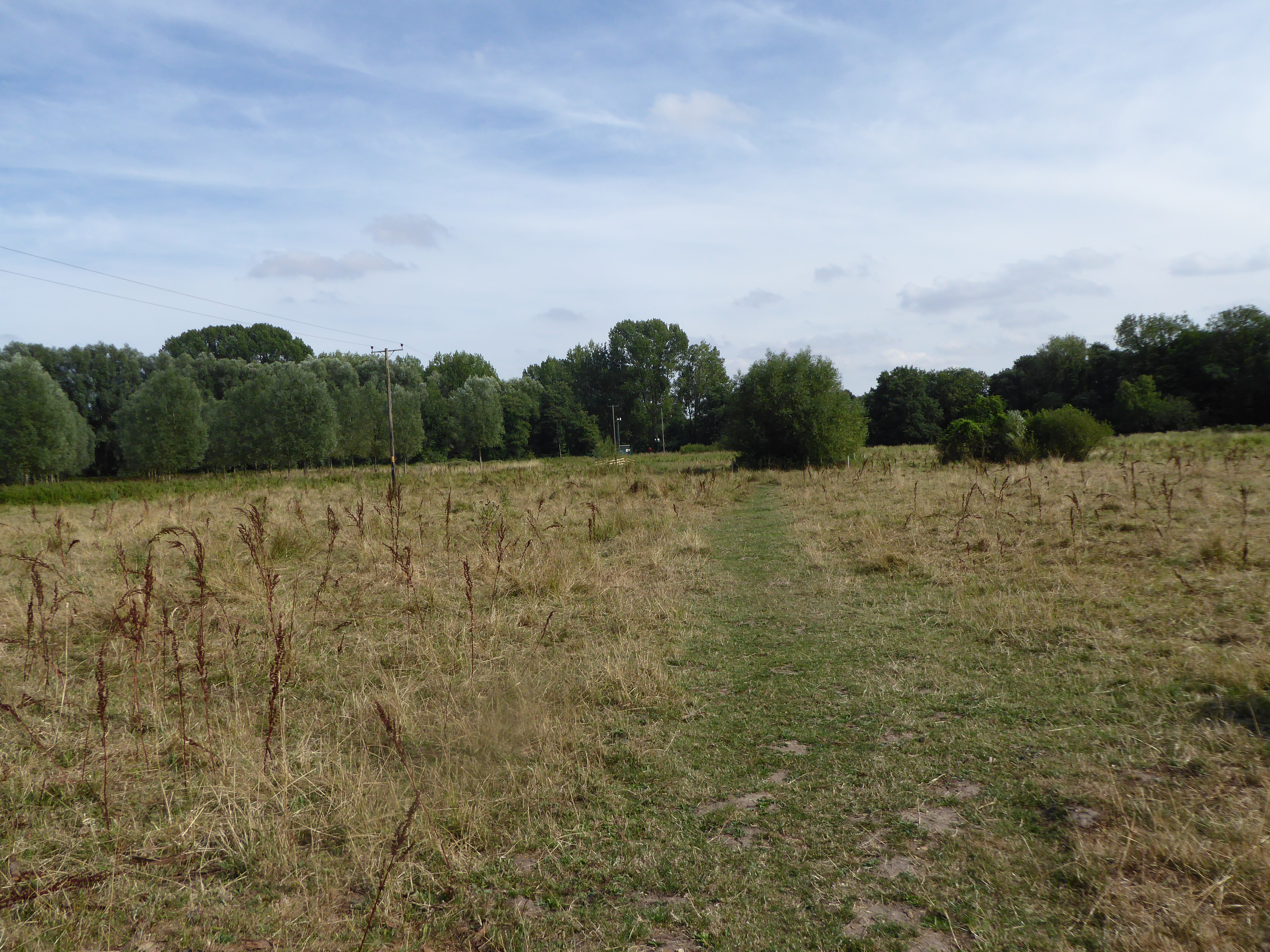
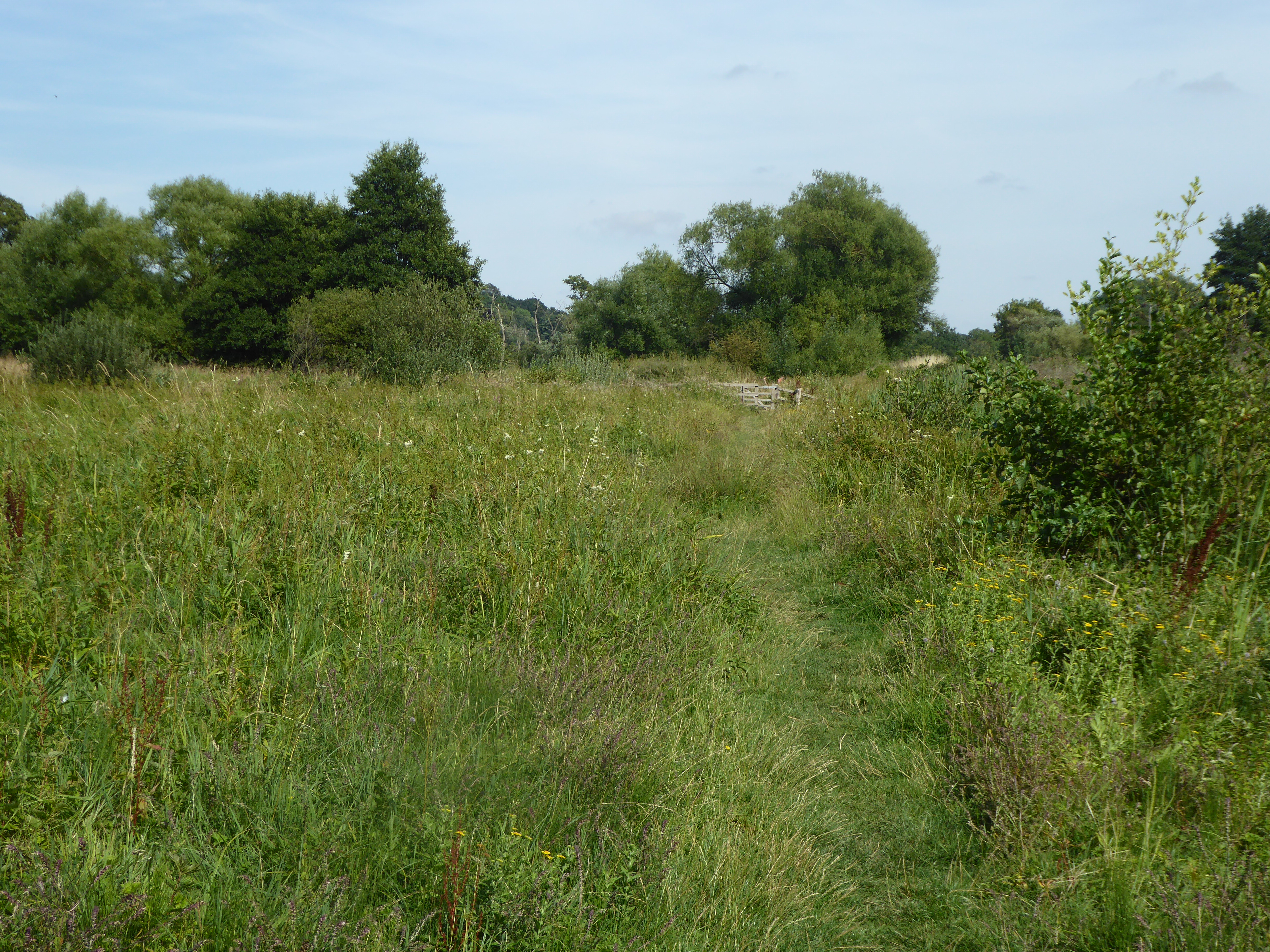
Keswick Images

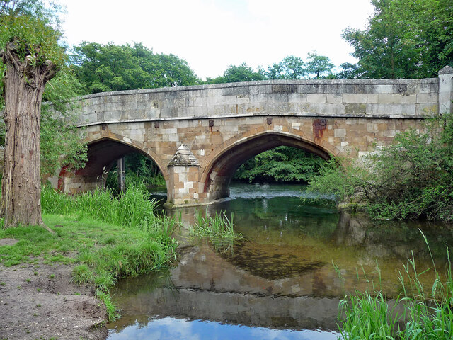
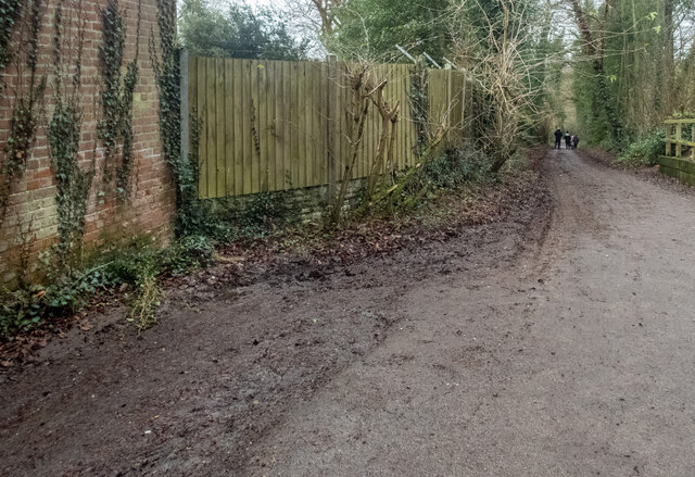
Images are sourced within 2km of 52.593696/1.261115 or Grid Reference TG2004. Thanks to Geograph Open Source API. All images are credited.

The A47 west approaching junction with A11
Bridge, Cringleford Built in 1520, replacing a bridge washed away in 1519, and widened in 1780. The facings are in limestone, "a rarity in Norfolk other than for churches and bridges". Grade II* listed.
It carries Eaton Street over the River Yare.
Bridge, Cringleford
Built in 1520, replacing a bridge washed away in 1519, and widened in 1780. The facings are in limestone, "a rarity in Norfolk other than for churches and bridges". Grade II* listed. It carries Eaton Street over the River Yare.
Marston Lane, Eaton This view is looking roughly west along Marston Lane, a pleasant amble from the Ipswich Road eventually to the Newmarket Road. There is a benchmark <a href="https://www.geograph.org.uk/photo/7054771">TG2105 : Benchmark behind the ivy</a> on the wall on the left - about 5 brick lengths in from the wooden fencing and 5 rows up. It required a good deal of ivy removal to reveal it.
Marston Lane, Eaton
This view is looking roughly west along Marston Lane, a pleasant amble from the Ipswich Road eventually to the Newmarket Road. There is a benchmark TG2105 : Benchmark behind the ivy on the wall on the left - about 5 brick lengths in from the wooden fencing and 5 rows up. It required a good deal of ivy removal to reveal it.
Benchmark behind the ivy This benchmark is on a barn a little way along Marston Lane from the Ipswich Road <a href="https://www.geograph.org.uk/photo/7054766">TG2105 : Marston Lane, Eaton</a>. <span class="nowrap"><a title="https://www.bench-marks.org.uk/bm160752" rel="nofollow ugc noopener" href="https://www.bench-marks.org.uk/bm160752">Link</a><img style="margin-left:2px;" alt="External link" title="External link - shift click to open in new window" src="https://s1.geograph.org.uk/img/external.png" width="10" height="10"/></span>
Benchmark behind the ivy
This benchmark is on a barn a little way along Marston Lane from the Ipswich Road TG2105 : Marston Lane, Eaton. LinkExternal link
Eaton, Neatmarket, Hall Road: Car park serving B and Q and other outlets
Eaton, Neatmarket, Hall Road: Porsche car showroom
The A47 west approaching junction with A140
Keswick: A47 bridge over the Ipswich Road roundabout
A11 The A11 is a major road in Eastern England. It runs roughly north east for 111 miles from London to Norwich, With the M11 opening in the 1970s and then the A12 extension in 1999, a lengthy section has been downgraded between the suburbs of east London and the north-west corner of the county of Essex. It also overlaps with the A14 on the Newmarket bypass.
<span class="nowrap"><a title="http://www.sabre-roads.org.uk/wiki/index.php?title=A11" rel="nofollow ugc noopener" href="http://www.sabre-roads.org.uk/wiki/index.php?title=A11">Link</a><img style="margin-left:2px;" alt="External link" title="External link - shift click to open in new window" src="https://s1.geograph.org.uk/img/external.png" width="10" height="10"/></span>
A11
The A11 is a major road in Eastern England. It runs roughly north east for 111 miles from London to Norwich, With the M11 opening in the 1970s and then the A12 extension in 1999, a lengthy section has been downgraded between the suburbs of east London and the north-west corner of the county of Essex. It also overlaps with the A14 on the Newmarket bypass. LinkExternal link
Colney Lane Bridge, A11 The A11 is a major road in Eastern England. It runs roughly north east for 111 miles from London to Norwich, With the M11 opening in the 1970s and then the A12 extension in 1999, a lengthy section has been downgraded between the suburbs of east London and the north-west corner of the county of Essex. It also overlaps with the A14 on the Newmarket bypass.
<span class="nowrap"><a title="http://www.sabre-roads.org.uk/wiki/index.php?title=A11" rel="nofollow ugc noopener" href="http://www.sabre-roads.org.uk/wiki/index.php?title=A11">Link</a><img style="margin-left:2px;" alt="External link" title="External link - shift click to open in new window" src="https://s1.geograph.org.uk/img/external.png" width="10" height="10"/></span>
Colney Lane Bridge, A11
The A11 is a major road in Eastern England. It runs roughly north east for 111 miles from London to Norwich, With the M11 opening in the 1970s and then the A12 extension in 1999, a lengthy section has been downgraded between the suburbs of east London and the north-west corner of the county of Essex. It also overlaps with the A14 on the Newmarket bypass. LinkExternal link
A11, Cringleford The A11 is a major road in Eastern England. It runs roughly north east for 111 miles from London to Norwich, With the M11 opening in the 1970s and then the A12 extension in 1999, a lengthy section has been downgraded between the suburbs of east London and the north-west corner of the county of Essex. It also overlaps with the A14 on the Newmarket bypass.
<span class="nowrap"><a title="http://www.sabre-roads.org.uk/wiki/index.php?title=A11" rel="nofollow ugc noopener" href="http://www.sabre-roads.org.uk/wiki/index.php?title=A11">Link</a><img style="margin-left:2px;" alt="External link" title="External link - shift click to open in new window" src="https://s1.geograph.org.uk/img/external.png" width="10" height="10"/></span>
A11, Cringleford
The A11 is a major road in Eastern England. It runs roughly north east for 111 miles from London to Norwich, With the M11 opening in the 1970s and then the A12 extension in 1999, a lengthy section has been downgraded between the suburbs of east London and the north-west corner of the county of Essex. It also overlaps with the A14 on the Newmarket bypass. LinkExternal link
Entering Norwich, A11 The A11 is a major road in Eastern England. It runs roughly north east for 111 miles from London to Norwich, With the M11 opening in the 1970s and then the A12 extension in 1999, a lengthy section has been downgraded between the suburbs of east London and the north-west corner of the county of Essex. It also overlaps with the A14 on the Newmarket bypass.
<span class="nowrap"><a title="http://www.sabre-roads.org.uk/wiki/index.php?title=A11" rel="nofollow ugc noopener" href="http://www.sabre-roads.org.uk/wiki/index.php?title=A11">Link</a><img style="margin-left:2px;" alt="External link" title="External link - shift click to open in new window" src="https://s1.geograph.org.uk/img/external.png" width="10" height="10"/></span>
Entering Norwich, A11
The A11 is a major road in Eastern England. It runs roughly north east for 111 miles from London to Norwich, With the M11 opening in the 1970s and then the A12 extension in 1999, a lengthy section has been downgraded between the suburbs of east London and the north-west corner of the county of Essex. It also overlaps with the A14 on the Newmarket bypass. LinkExternal link
Eastbound A11 near to Cringleford The A11 is a major road in Eastern England. It runs roughly north east for 111 miles from London to Norwich, With the M11 opening in the 1970s and then the A12 extension in 1999, a lengthy section has been downgraded between the suburbs of east London and the north-west corner of the county of Essex. It also overlaps with the A14 on the Newmarket bypass.
<span class="nowrap"><a title="http://www.sabre-roads.org.uk/wiki/index.php?title=A11" rel="nofollow ugc noopener" href="http://www.sabre-roads.org.uk/wiki/index.php?title=A11">Link</a><img style="margin-left:2px;" alt="External link" title="External link - shift click to open in new window" src="https://s1.geograph.org.uk/img/external.png" width="10" height="10"/></span>
Eastbound A11 near to Cringleford
The A11 is a major road in Eastern England. It runs roughly north east for 111 miles from London to Norwich, With the M11 opening in the 1970s and then the A12 extension in 1999, a lengthy section has been downgraded between the suburbs of east London and the north-west corner of the county of Essex. It also overlaps with the A14 on the Newmarket bypass. LinkExternal link
Cringleford War Memorial The memorial bears the names of men lost in both World Wars
Cringleford War Memorial
The memorial bears the names of men lost in both World Wars
Low Common
Low Common
Bungalow in Swardeston Lane This view was taken from a public footpath leading past here.
Bungalow in Swardeston Lane
This view was taken from a public footpath leading past here.
Dairy Farmhouse
Dairy Farmhouse
Dairy Farmhouse
Dairy Farmhouse
Show me another place!

Keswick is located at Grid Ref: TG2004 (Lat: 52.593696, Lng: 1.261115)

Administrative County: Norfolk

District: South Norfolk

Police Authority: Norfolk

What 3 Words

///robot.rots.rash. Near Cringleford, Norfolk

Related Wikis

Keswick, South Norfolk

Keswick is a village and former civil parish, now in the parish of Keswick and Intwood, in the South Norfolk district, in the county of Norfolk, England...

Eaton Common

Eaton Common is a 5.3-hectare (13-acre) Local Nature Reserve on the southern outskirts of Norwich in the county of Norfolk in England, United Kingdom...

Marston Marshes

Marston Marshes is a 25.9-hectare (64-acre) Local Nature Reserve on the southern outskirts of Norwich in Norfolk. It is owned and managed by Norwich City...

Marston Marsh

Marston Marsh is a Local Nature Reserve in southwest Norwich, Norfolk, England. == References == == External links == "Map of Marston Marshes". Local Nature...

Norwich CEYMS F.C.

Norwich Church of England Young Men's Society Football Club, commonly called Norwich CEYMS, is a football club based in Swardeston, near Norwich, in Norfolk...

Intwood

Intwood is a village and former civil parish, now in the parish of Keswick and Intwood, in the South Norfolk district, in the county of Norfolk, England...

University Technical College Norfolk

University Technical College Norfolk is a University Technical College in Old Hall Road, Norwich, with a focus on the engineering and health sectors.It...

Brundall Church Fen

Brundall Church Fen is a 2.8-hectare (6.9-acre) Local Nature Reserve Norfolk. It is owned by Brundall Parish Council and managed by Brundall Parish...

Nearby Amenities

Located within 500m of 52.593696,1.261115
Passing Place
Lat/Long: 52.5960248/1.2632539
Post Box
Collection Times: Mo-Fr 09:00; Sa 07:00
Operator: Royal Mail
Post Box Type: lamp
Ref: NR4 418D
Royal Cypher: EIIR
Royal Cypher Wikidata: Q33102113
Lat/Long: 52.5955979/1.2561895
Grit Bin
Colour: yellow
Lat/Long: 52.5919987/1.2604656
Post Box
Collection Times: Mo-Fr 09:00; Sa 07:00
Operator: Royal Mail
Post Box Type: lamp
Ref: NR4 417D
Royal Cypher: EIIR
Royal Cypher Wikidata: Q33102113
Lat/Long: 52.5906355/1.2566628
Grit Bin
Lat/Long: 52.5909207/1.2580141
Keswick
Place: village
Wikidata: Q4577678
Lat/Long: 52.5921665/1.263011
Power: pole
Lat/Long: 52.596656/1.256862
Power: pole
Lat/Long: 52.5964/1.258393
Power: pole
Lat/Long: 52.596165/1.259879
Power: pole
Lat/Long: 52.595936/1.261373
Power: pole
Lat/Long: 52.595812/1.262159
Power: pole
Lat/Long: 52.596931/1.263948
Power: pole
Lat/Long: 52.596807/1.26376
Power: pole
Lat/Long: 52.597316/1.264168
Bus Stop
Keswick / Main Road
Bench: yes
Check Date Shelter: 2021-03-20
Naptan AtcoCode: 2900K042
Naptan Bearing: NE
Naptan BusStopType: CUS
Naptan CommonName: Low Road
Naptan Indicator: adj
Naptan Locality: Keswick
Naptan NaptanCode: nfodagtp
Naptan PlusbusZoneRef: NRCH
Naptan Street: B1113
Operator: First Eastern Counties;H.Semmence & Co. Ltd.
Shelter: yes
Source: naptan_import;survey
Tactile Paving: yes
Lat/Long: 52.5919951/1.2650105
Bus Stop
Keswick / Main Road
Naptan AtcoCode: 2900K047
Naptan Bearing: SW
Naptan BusStopType: CUS
Naptan CommonName: Low Road
Naptan Indicator: opp
Naptan Locality: Keswick
Naptan NaptanCode: nfodagwa
Naptan PlusbusZoneRef: NRCH
Naptan Street: B1113
Operator: First Eastern Counties;H.Semmence & Co. Ltd.
Physically Present: no
Shelter: no
Source: naptan_import;survey
Lat/Long: 52.5916858/1.2651351
Bus Stop
Low Road
Naptan AtcoCode: 2900K050
Naptan Bearing: SE
Naptan BusStopType: CUS
Naptan CommonName: Old Hall
Naptan Indicator: adj
Naptan Landmark: Keswick Old Hall
Naptan Locality: Keswick
Naptan NaptanCode: nfogmtjt
Naptan PlusbusZoneRef: NRCH
Naptan Street: Low Road
Operator: Anglian Coaches Ltd.
Physically Present: no
Shelter: no
Source: naptan_import;survey
Lat/Long: 52.5952481/1.2572771
Bus Stop
Low Road
Naptan AtcoCode: 2900K053
Naptan Bearing: NW
Naptan BusStopType: CUS
Naptan CommonName: Old Hall
Naptan Indicator: opp
Naptan Landmark: Keswick Old Hall
Naptan Locality: Keswick
Naptan NaptanCode: nfogmtjw
Naptan PlusbusZoneRef: NRCH
Naptan Street: Low Road
Operator: Anglian Coaches Ltd.
Physically Present: no
Shelter: no
Source: naptan_import;survey
Lat/Long: 52.5951384/1.2570178
Keswick Hall
Tourism: attraction
Wikidata: Q26593123
Lat/Long: 52.590347/1.258407
Passing Place
Lat/Long: 52.5945878/1.262078
Generator Output Electricity: yes
Generator Source: wind
Generator Type: horizontal_axis
Power: generator
Lat/Long: 52.5979818/1.2622384
War Memorial
Historic: memorial
Inscription: Erected by the Parishioners of Keswick in Memory of the following men who were killed in action during the Great War 1914 - 1919 May God grant them Eternal Rest. Eight names
Memorial: plaque
Note: Second inscription :- 1939 - 1945 (two names) When you return tell them of us and say for your to-morrow we gave our to-day.
Lat/Long: 52.5951216/1.26721
Bench
Backrest: yes
Check Date: 2022-10-16
Seats: 3
Lat/Long: 52.5950748/1.2671245
Barrier: bollard
Bicycle: yes
Foot: yes
Material: metal
Lat/Long: 52.5930066/1.26632
Traffic Calming: island
Lat/Long: 52.5925818/1.2656103
Traffic Calming: bump
Lat/Long: 52.5904799/1.2565691
Note: Old disused lime working, now disused landfill site.
Lat/Long: 52.593665/1.2656133
Entrance: main
Lat/Long: 52.5950823/1.2671457
Entrance: yes
Lat/Long: 52.595152/1.2671543
Give Way
Lat/Long: 52.5937208/1.261104
Give Way
Lat/Long: 52.5920097/1.2603746
Give Way
Direction: backward
Lat/Long: 52.5921322/1.2655045
Defibrillator
Defibrillator Location: attached to building near post box in Keswick
Emergency: defibrillator
Indoor: no
Ref GB The Circuit: 73D2592A-51B1-469A-86DB-ADB90129E192
Lat/Long: 52.5956078/1.2562324
Give Way
Direction: backward
Lat/Long: 52.592526/1.265743
The data included in this document is from www.openstreetmap.org. The data is made available under ODbL.

Have you been to Keswick?

Leave your review of Keswick below (or comments, questions and feedback).