Paradise Hole

Wood, Forest in Norfolk South Norfolk

England

Paradise Hole

Swardeston: Village pond
Swardeston: Village pond Credit: Michael Garlick

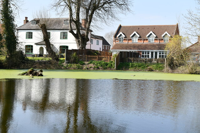
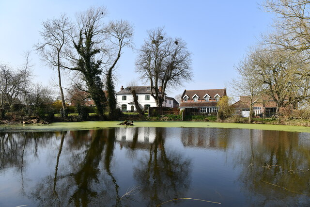
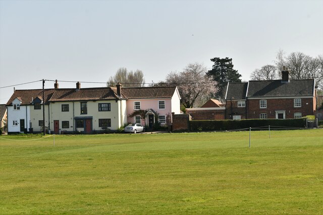
Paradise Hole, located in Norfolk, England, is a picturesque woodland area renowned for its natural beauty and serene atmosphere. Nestled amidst the scenic Norfolk countryside, this enchanting woodland is a haven for nature lovers and outdoor enthusiasts.

Covering an extensive area, Paradise Hole is home to an array of native flora and fauna, making it an ideal destination for wildlife enthusiasts and botany enthusiasts alike. The woodland is characterized by its dense canopy of trees, with oak, beech, and birch being the most prominent species. These towering trees provide shade and shelter for a diverse range of wildlife, including deer, foxes, badgers, and a multitude of bird species.

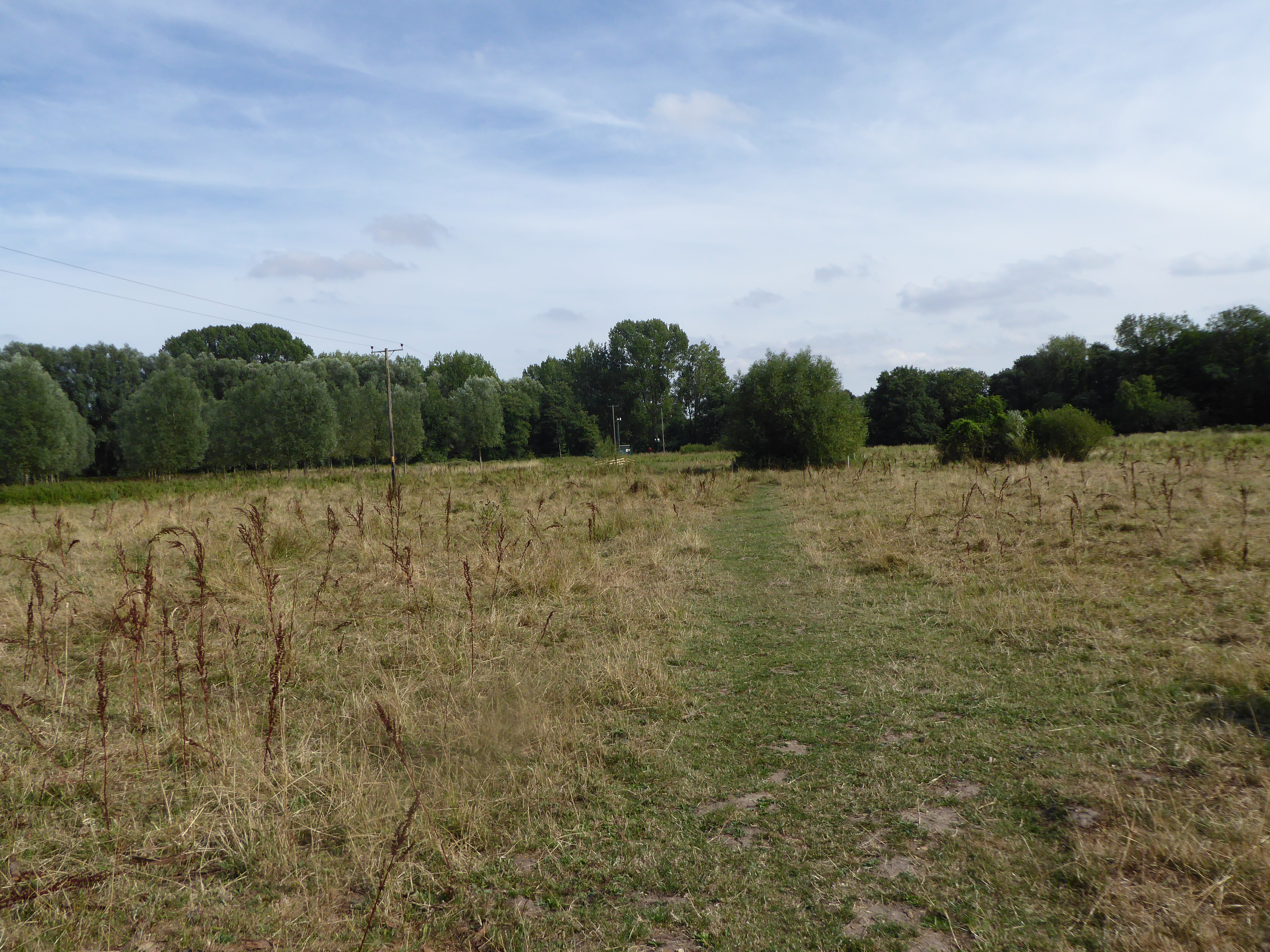
The forest floor is adorned with a rich carpet of wildflowers, creating a vibrant and colorful landscape during the spring and summer months. Visitors can stroll along the well-maintained trails that wind their way through the woodland, immersing themselves in the tranquility of nature. The peaceful ambiance and the calming sounds of birdsong make Paradise Hole an idyllic spot for relaxation and contemplation.

The woodland is also popular among hikers and nature photographers, who seek to capture the breathtaking vistas and capture the essence of this natural paradise. Additionally, the area is dotted with picnic spots, allowing visitors to enjoy a leisurely lunch surrounded by nature's splendor.

Paradise Hole truly lives up to its name, offering a slice of paradise where visitors can escape the hustle and bustle of everyday life and reconnect with nature in its purest form.

If you have any feedback on the listing, please let us know in the comments section below.

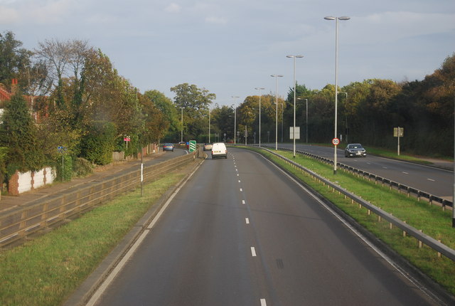
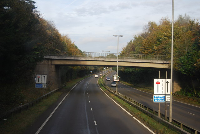
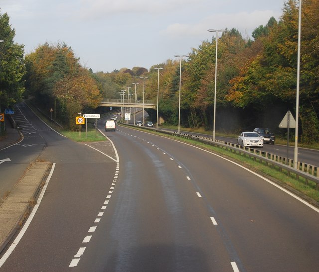
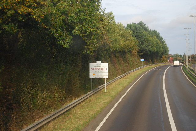
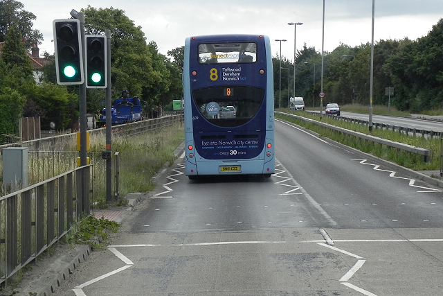
Paradise Hole Images

Images are sourced within 2km of 52.59295/1.2512978 or Grid Reference TG2004. Thanks to Geograph Open Source API. All images are credited.

Swardeston: Village pond
Swardeston: Village pond and houses in Chestnut Close
Swardeston: The Cricket Pavilion
The A47 west approaching junction with A11
Footbridge over the A47 west approaching junction with A11
Bridge, Cringleford Built in 1520, replacing a bridge washed away in 1519, and widened in 1780. The facings are in limestone, "a rarity in Norfolk other than for churches and bridges". Grade II* listed.
It carries Eaton Street over the River Yare.
Bridge, Cringleford
Built in 1520, replacing a bridge washed away in 1519, and widened in 1780. The facings are in limestone, "a rarity in Norfolk other than for churches and bridges". Grade II* listed. It carries Eaton Street over the River Yare.
Marston Lane, Eaton This view is looking roughly west along Marston Lane, a pleasant amble from the Ipswich Road eventually to the Newmarket Road. There is a benchmark <a href="https://www.geograph.org.uk/photo/7054771">TG2105 : Benchmark behind the ivy</a> on the wall on the left - about 5 brick lengths in from the wooden fencing and 5 rows up. It required a good deal of ivy removal to reveal it.
Marston Lane, Eaton
This view is looking roughly west along Marston Lane, a pleasant amble from the Ipswich Road eventually to the Newmarket Road. There is a benchmark TG2105 : Benchmark behind the ivy on the wall on the left - about 5 brick lengths in from the wooden fencing and 5 rows up. It required a good deal of ivy removal to reveal it.
Benchmark behind the ivy This benchmark is on a barn a little way along Marston Lane from the Ipswich Road <a href="https://www.geograph.org.uk/photo/7054766">TG2105 : Marston Lane, Eaton</a>. <span class="nowrap"><a title="https://www.bench-marks.org.uk/bm160752" rel="nofollow ugc noopener" href="https://www.bench-marks.org.uk/bm160752">Link</a><img style="margin-left:2px;" alt="External link" title="External link - shift click to open in new window" src="https://s1.geograph.org.uk/img/external.png" width="10" height="10"/></span>
Benchmark behind the ivy
This benchmark is on a barn a little way along Marston Lane from the Ipswich Road TG2105 : Marston Lane, Eaton. LinkExternal link
Swardeston: Houses in The Common (road name)
The A47 west approaching junction with A140
Keswick: A47 bridge over the Ipswich Road roundabout
A11 The A11 is a major road in Eastern England. It runs roughly north east for 111 miles from London to Norwich, With the M11 opening in the 1970s and then the A12 extension in 1999, a lengthy section has been downgraded between the suburbs of east London and the north-west corner of the county of Essex. It also overlaps with the A14 on the Newmarket bypass.
<span class="nowrap"><a title="http://www.sabre-roads.org.uk/wiki/index.php?title=A11" rel="nofollow ugc noopener" href="http://www.sabre-roads.org.uk/wiki/index.php?title=A11">Link</a><img style="margin-left:2px;" alt="External link" title="External link - shift click to open in new window" src="https://s1.geograph.org.uk/img/external.png" width="10" height="10"/></span>
A11
The A11 is a major road in Eastern England. It runs roughly north east for 111 miles from London to Norwich, With the M11 opening in the 1970s and then the A12 extension in 1999, a lengthy section has been downgraded between the suburbs of east London and the north-west corner of the county of Essex. It also overlaps with the A14 on the Newmarket bypass. LinkExternal link
Roundabout. A11 The A11 is a major road in Eastern England. It runs roughly north east for 111 miles from London to Norwich, With the M11 opening in the 1970s and then the A12 extension in 1999, a lengthy section has been downgraded between the suburbs of east London and the north-west corner of the county of Essex. It also overlaps with the A14 on the Newmarket bypass.
<span class="nowrap"><a title="http://www.sabre-roads.org.uk/wiki/index.php?title=A11" rel="nofollow ugc noopener" href="http://www.sabre-roads.org.uk/wiki/index.php?title=A11">Link</a><img style="margin-left:2px;" alt="External link" title="External link - shift click to open in new window" src="https://s1.geograph.org.uk/img/external.png" width="10" height="10"/></span>
Roundabout. A11
The A11 is a major road in Eastern England. It runs roughly north east for 111 miles from London to Norwich, With the M11 opening in the 1970s and then the A12 extension in 1999, a lengthy section has been downgraded between the suburbs of east London and the north-west corner of the county of Essex. It also overlaps with the A14 on the Newmarket bypass. LinkExternal link
A11 The A11 is a major road in Eastern England. It runs roughly north east for 111 miles from London to Norwich, With the M11 opening in the 1970s and then the A12 extension in 1999, a lengthy section has been downgraded between the suburbs of east London and the north-west corner of the county of Essex. It also overlaps with the A14 on the Newmarket bypass.
<span class="nowrap"><a title="http://www.sabre-roads.org.uk/wiki/index.php?title=A11" rel="nofollow ugc noopener" href="http://www.sabre-roads.org.uk/wiki/index.php?title=A11">Link</a><img style="margin-left:2px;" alt="External link" title="External link - shift click to open in new window" src="https://s1.geograph.org.uk/img/external.png" width="10" height="10"/></span>
A11
The A11 is a major road in Eastern England. It runs roughly north east for 111 miles from London to Norwich, With the M11 opening in the 1970s and then the A12 extension in 1999, a lengthy section has been downgraded between the suburbs of east London and the north-west corner of the county of Essex. It also overlaps with the A14 on the Newmarket bypass. LinkExternal link
Colney Lane Bridge, A11 The A11 is a major road in Eastern England. It runs roughly north east for 111 miles from London to Norwich, With the M11 opening in the 1970s and then the A12 extension in 1999, a lengthy section has been downgraded between the suburbs of east London and the north-west corner of the county of Essex. It also overlaps with the A14 on the Newmarket bypass.
<span class="nowrap"><a title="http://www.sabre-roads.org.uk/wiki/index.php?title=A11" rel="nofollow ugc noopener" href="http://www.sabre-roads.org.uk/wiki/index.php?title=A11">Link</a><img style="margin-left:2px;" alt="External link" title="External link - shift click to open in new window" src="https://s1.geograph.org.uk/img/external.png" width="10" height="10"/></span>
Colney Lane Bridge, A11
The A11 is a major road in Eastern England. It runs roughly north east for 111 miles from London to Norwich, With the M11 opening in the 1970s and then the A12 extension in 1999, a lengthy section has been downgraded between the suburbs of east London and the north-west corner of the county of Essex. It also overlaps with the A14 on the Newmarket bypass. LinkExternal link
A11, Cringleford The A11 is a major road in Eastern England. It runs roughly north east for 111 miles from London to Norwich, With the M11 opening in the 1970s and then the A12 extension in 1999, a lengthy section has been downgraded between the suburbs of east London and the north-west corner of the county of Essex. It also overlaps with the A14 on the Newmarket bypass.
<span class="nowrap"><a title="http://www.sabre-roads.org.uk/wiki/index.php?title=A11" rel="nofollow ugc noopener" href="http://www.sabre-roads.org.uk/wiki/index.php?title=A11">Link</a><img style="margin-left:2px;" alt="External link" title="External link - shift click to open in new window" src="https://s1.geograph.org.uk/img/external.png" width="10" height="10"/></span>
A11, Cringleford
The A11 is a major road in Eastern England. It runs roughly north east for 111 miles from London to Norwich, With the M11 opening in the 1970s and then the A12 extension in 1999, a lengthy section has been downgraded between the suburbs of east London and the north-west corner of the county of Essex. It also overlaps with the A14 on the Newmarket bypass. LinkExternal link
Entering Norwich, A11 The A11 is a major road in Eastern England. It runs roughly north east for 111 miles from London to Norwich, With the M11 opening in the 1970s and then the A12 extension in 1999, a lengthy section has been downgraded between the suburbs of east London and the north-west corner of the county of Essex. It also overlaps with the A14 on the Newmarket bypass.
<span class="nowrap"><a title="http://www.sabre-roads.org.uk/wiki/index.php?title=A11" rel="nofollow ugc noopener" href="http://www.sabre-roads.org.uk/wiki/index.php?title=A11">Link</a><img style="margin-left:2px;" alt="External link" title="External link - shift click to open in new window" src="https://s1.geograph.org.uk/img/external.png" width="10" height="10"/></span>
Entering Norwich, A11
The A11 is a major road in Eastern England. It runs roughly north east for 111 miles from London to Norwich, With the M11 opening in the 1970s and then the A12 extension in 1999, a lengthy section has been downgraded between the suburbs of east London and the north-west corner of the county of Essex. It also overlaps with the A14 on the Newmarket bypass. LinkExternal link
Konnectbus on the A11 towards Norwich Konnectbus <span class="nowrap"><a title="http://www.konectbus.co.uk/" rel="nofollow ugc noopener" href="http://www.konectbus.co.uk/">Link</a><img style="margin-left:2px;" alt="External link" title="External link - shift click to open in new window" src="https://s1.geograph.org.uk/img/external.png" width="10" height="10"/></span>  is a Norfolk-based bus operator which links the local towns and villages including Dereham, Watton, Wymondham, King’s Lynn, Attleborough, Swaffham and Wroxham with many of their routes serving Norwich City Centre. Established in 1999, Konectbus was acquired by the Go-Ahead Group.
Konnectbus on the A11 towards Norwich
Konnectbus LinkExternal link is a Norfolk-based bus operator which links the local towns and villages including Dereham, Watton, Wymondham, King’s Lynn, Attleborough, Swaffham and Wroxham with many of their routes serving Norwich City Centre. Established in 1999, Konectbus was acquired by the Go-Ahead Group.
Show me another place!

Paradise Hole is located at Grid Ref: TG2004 (Lat: 52.59295, Lng: 1.2512978)

Administrative County: Norfolk

District: South Norfolk

Police Authority: Norfolk

What 3 Words

///dusty.exile.career. Near Cringleford, Norfolk

Related Wikis

Intwood

Intwood is a village and former civil parish, now in the parish of Keswick and Intwood, in the South Norfolk district, in the county of Norfolk, England...

Eaton Common

Eaton Common is a 5.3-hectare (13-acre) Local Nature Reserve on the southern outskirts of Norwich in the county of Norfolk in England, United Kingdom...

Keswick, South Norfolk

Keswick is a village and former civil parish, now in the parish of Keswick and Intwood, in the South Norfolk district, in the county of Norfolk, England...

Norwich CEYMS F.C.

Norwich Church of England Young Men's Society Football Club, commonly called Norwich CEYMS, is a football club based in Swardeston, near Norwich, in Norfolk...

Related Videos

Eaton Park Norwich, Jubilee Holiday DJI Mini 2, 2nd June 2022 4K UHD

Took a trip into Norwich today to soak up the Jubilee Buzz, this clip was taken in Eaton Park ...

SOUTHWOLD BEACH SUFFOLK UK. Pinoy Ako TV

SOUTHWOLD BEACH SUFFOLK UK. Pinoy Ako TV.

Nearby Amenities

Located within 500m of 52.59295,1.2512978
Power: tower
Ref: 4VV 216
Lat/Long: 52.5919254/1.2450024
Power: tower
Ref: 4VV 217
Lat/Long: 52.5895833/1.2493291
Power: tower
Ref: PO21
Lat/Long: 52.5930114/1.2442409
Power: tower
Ref: PO20
Lat/Long: 52.5913647/1.2471512
Power: tower
Ref: PO19
Lat/Long: 52.5895467/1.2503636
Post Box
Collection Times: Mo-Fr 09:00; Sa 07:00
Operator: Royal Mail
Post Box Type: lamp
Ref: NR4 418D
Royal Cypher: EIIR
Royal Cypher Wikidata: Q33102113
Lat/Long: 52.5955979/1.2561895
Post Box
Collection Times: Mo-Fr 09:00; Sa 07:00
Operator: Royal Mail
Post Box Type: lamp
Ref: NR4 417D
Royal Cypher: EIIR
Royal Cypher Wikidata: Q33102113
Lat/Long: 52.5906355/1.2566628
Power: pole
Lat/Long: 52.597428/1.251953
Power: pole
Lat/Long: 52.597174/1.25356
Bus Stop
Keswick Hall Road
Naptan AtcoCode: 2900K046
Naptan Bearing: W
Naptan BusStopType: CUS
Naptan CommonName: Keswick Hall Road
Naptan Indicator: adj
Naptan Landmark: Keswick Hall
Naptan Locality: Keswick
Naptan NaptanCode: nfodagtw
Naptan PlusbusZoneRef: NRCH
Naptan ShortCommonName: Keswick Hall Road
Naptan Street: Keswick Hall Road
Operator: Anglian Coaches Ltd.
Physically Present: no
Source: naptan_import;survey
Lat/Long: 52.5904693/1.2557557
Bus Stop
Low Road
Naptan AtcoCode: 2900K050
Naptan Bearing: SE
Naptan BusStopType: CUS
Naptan CommonName: Old Hall
Naptan Indicator: adj
Naptan Landmark: Keswick Old Hall
Naptan Locality: Keswick
Naptan NaptanCode: nfogmtjt
Naptan PlusbusZoneRef: NRCH
Naptan Street: Low Road
Operator: Anglian Coaches Ltd.
Physically Present: no
Shelter: no
Source: naptan_import;survey
Lat/Long: 52.5952481/1.2572771
Bus Stop
Low Road
Naptan AtcoCode: 2900K053
Naptan Bearing: NW
Naptan BusStopType: CUS
Naptan CommonName: Old Hall
Naptan Indicator: opp
Naptan Landmark: Keswick Old Hall
Naptan Locality: Keswick
Naptan NaptanCode: nfogmtjw
Naptan PlusbusZoneRef: NRCH
Naptan Street: Low Road
Operator: Anglian Coaches Ltd.
Physically Present: no
Shelter: no
Source: naptan_import;survey
Lat/Long: 52.5951384/1.2570178
Parking
Access: yes
Fee: no
Parking: layby
Lat/Long: 52.5886562/1.2511745
Note: No access to A47
Lat/Long: 52.5897893/1.2488754
Phone
Check Date: 2021-08-14
Emergency: phone
Ref: 237B
Lat/Long: 52.588874/1.2506729
Traffic Calming: bump
Lat/Long: 52.5904799/1.2565691
Crossing
Crossing: uncontrolled
Tactile Paving: yes
Lat/Long: 52.5970401/1.2525431
Note: 9 new houses here.
Lat/Long: 52.5968291/1.251851
Defibrillator
Defibrillator Location: attached to building near post box in Keswick
Emergency: defibrillator
Indoor: no
Ref GB The Circuit: 73D2592A-51B1-469A-86DB-ADB90129E192
Lat/Long: 52.5956078/1.2562324
Description: Bench
Lat/Long: 52.5961552/1.2490005
Paradise Hole
Place: locality
Lat/Long: 52.5910272/1.2512129
The data included in this document is from www.openstreetmap.org. The data is made available under ODbL.

Have you been to Paradise Hole?

Leave your review of Paradise Hole below (or comments, questions and feedback).