Upper Grove
Wood, Forest in Suffolk Babergh
England
Upper Grove

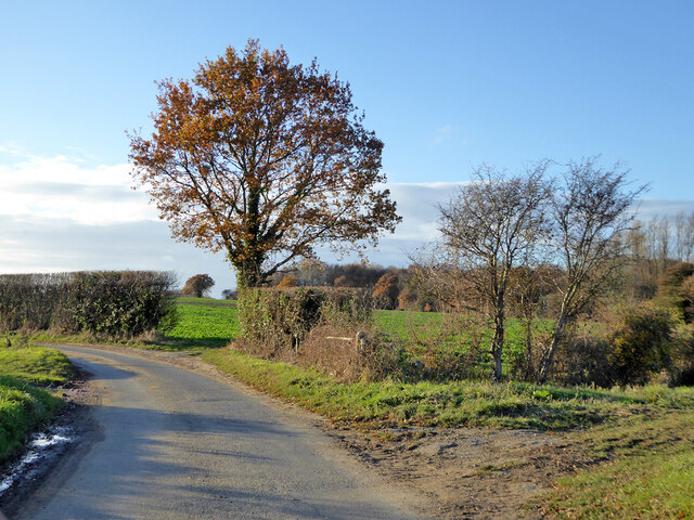
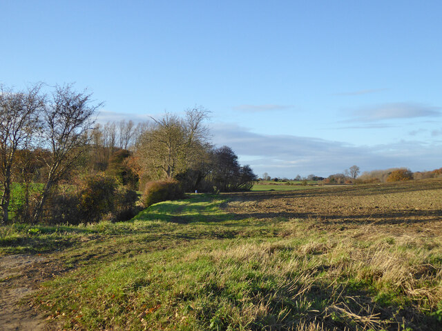
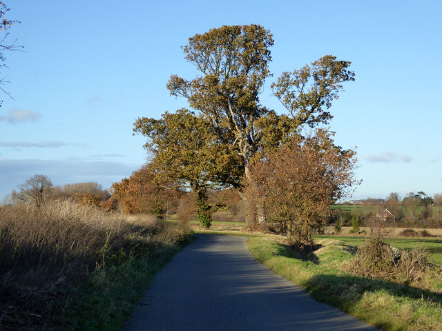
Upper Grove is a picturesque woodland located in Suffolk, England. Situated in the heart of the county, it is well-known for its enchanting beauty and serene atmosphere. The forest covers an area of approximately 100 hectares, making it a significant natural landmark in the region.
The woodland is characterized by its dense canopy of tall, ancient trees, predominantly oak and beech. These majestic giants create a lush, green landscape that is a haven for numerous wildlife species. The forest floor is carpeted with a rich assortment of ferns, wildflowers, and mosses, adding to the area's natural charm.
Upper Grove is renowned for its diverse ecosystem, which supports a wide range of flora and fauna. Birdwatchers can spot various species, including woodpeckers, owls, and buzzards, as they nest and forage amidst the branches. Small mammals such as squirrels, rabbits, and foxes are also commonly found here, while elusive deer occasionally roam the forest.
Walking trails crisscross Upper Grove, allowing visitors to explore its hidden treasures. These paths wind through the woods, providing glimpses of tranquil streams and secluded glades. The forest is a popular destination for nature enthusiasts, hikers, and photographers who seek solace in its natural beauty.
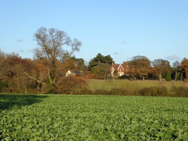
Upper Grove is not only a place of scenic splendor but also an important part of Suffolk's cultural heritage. It has inspired artists, writers, and poets over the years, with its timeless beauty serving as a muse for creative endeavors.
In conclusion, Upper Grove is a captivating woodland in Suffolk, offering a peaceful retreat from the hustle and bustle of everyday life. Its ancient trees, diverse wildlife, and scenic trails make it a haven for nature lovers and a true gem of the region.
If you have any feedback on the listing, please let us know in the comments section below.
Upper Grove Images
Images are sourced within 2km of 51.979327/1.2065874 or Grid Reference TM2036. Thanks to Geograph Open Source API. All images are credited.


Upper Grove is located at Grid Ref: TM2036 (Lat: 51.979327, Lng: 1.2065874)
Administrative County: Suffolk
District: Babergh
Police Authority: Suffolk
What 3 Words
///adjust.inversion.country. Near Holbrook, Suffolk
Nearby Locations
Related Wikis

Chelmondiston
Chelmondiston is a small village and civil parish in Suffolk, England located on the Shotley Peninsula, five miles south-east of Ipswich. The hamlet of...

Pin Mill
Pin Mill is a hamlet on the south bank of the tidal River Orwell, on the outskirts of the village of Chelmondiston, on the Shotley peninsula in southern...

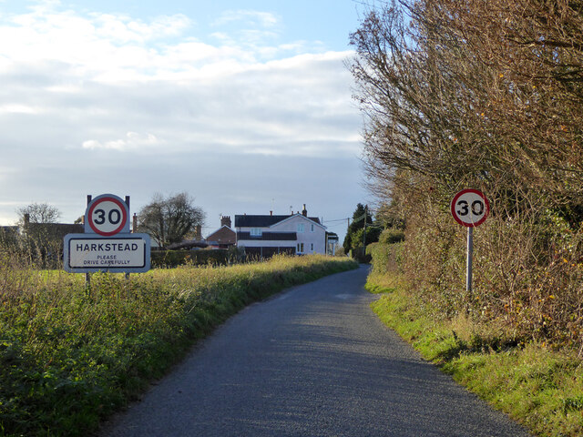
Harkstead
Harkstead is a village and civil parish in the county of Suffolk, England. The village is located on the northern bank of the River Stour estuary at Holbrook...

Erwarton
Erwarton or Arwarton is a small village and civil parish in the Babergh district of Suffolk, England. The parish includes the hamlet of Shop Corner. Located...
Nearby Amenities
Located within 500m of 51.979327,1.2065874Have you been to Upper Grove?
Leave your review of Upper Grove below (or comments, questions and feedback).