Broomfield Covert
Wood, Forest in Suffolk Babergh
England
Broomfield Covert

Broomfield Covert is a picturesque woodland located in Suffolk, England. Situated in the heart of the county, the covert is known for its stunning natural beauty and serene atmosphere. With an area of approximately 200 acres, it provides ample space for exploration and outdoor activities.
The woodland is predominantly made up of various species of trees, creating a dense forest canopy that filters sunlight and creates a cool and shaded environment. The most prominent tree species found in Broomfield Covert include oak, beech, birch, and pine. These majestic trees provide a habitat for numerous wildlife species, making the woodland a haven for nature enthusiasts.
The forest floor is covered in a thick carpet of moss, ferns, and wildflowers, adding to the enchanting ambiance of the area. A network of well-maintained walking trails winds through the covert, allowing visitors to explore its natural wonders at their own pace. These pathways meander through the forest, offering glimpses of small streams, ponds, and diverse flora and fauna along the way.
Broomfield Covert is a popular destination for hikers, birdwatchers, and photographers, who are drawn to its tranquil setting and abundant wildlife. Visitors may spot various bird species such as woodpeckers, owls, and songbirds, as well as mammals like deer, foxes, and rabbits.
Overall, Broomfield Covert in Suffolk is a hidden gem for nature lovers, offering a peaceful retreat from the hustle and bustle of everyday life. Its lush woodland, diverse wildlife, and charming trails make it a must-visit destination for those seeking solace in nature.
If you have any feedback on the listing, please let us know in the comments section below.
Broomfield Covert Images
Images are sourced within 2km of 51.981303/1.214929 or Grid Reference TM2036. Thanks to Geograph Open Source API. All images are credited.


Broomfield Covert is located at Grid Ref: TM2036 (Lat: 51.981303, Lng: 1.214929)
Administrative County: Suffolk
District: Babergh
Police Authority: Suffolk
What 3 Words
///defaults.haggis.listings. Near Holbrook, Suffolk
Nearby Locations
Related Wikis

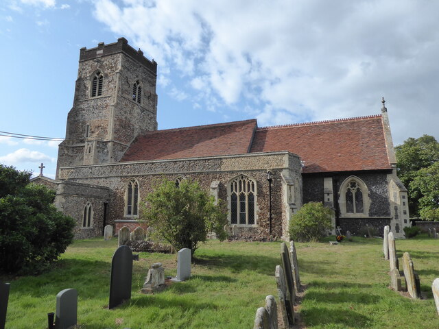
Chelmondiston
Chelmondiston is a small village and civil parish in Suffolk, England located on the Shotley Peninsula, five miles south-east of Ipswich. The hamlet of...

Pin Mill
Pin Mill is a hamlet on the south bank of the tidal River Orwell, on the outskirts of the village of Chelmondiston, on the Shotley peninsula in southern...

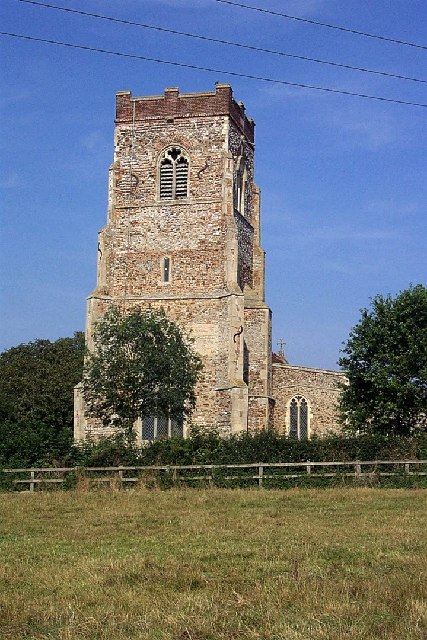
Erwarton
Erwarton or Arwarton is a small village and civil parish in the Babergh district of Suffolk, England. The parish includes the hamlet of Shop Corner. Located...

Orwell Estuary
Orwell Estuary is a 1,335.7 hectare biological Site of Special Scientific Interest which stretches along the River Orwell and its banks between Felixstowe...

Harkstead
Harkstead is a village and civil parish in the county of Suffolk, England. The village is located on the northern bank of the River Stour estuary at Holbrook...
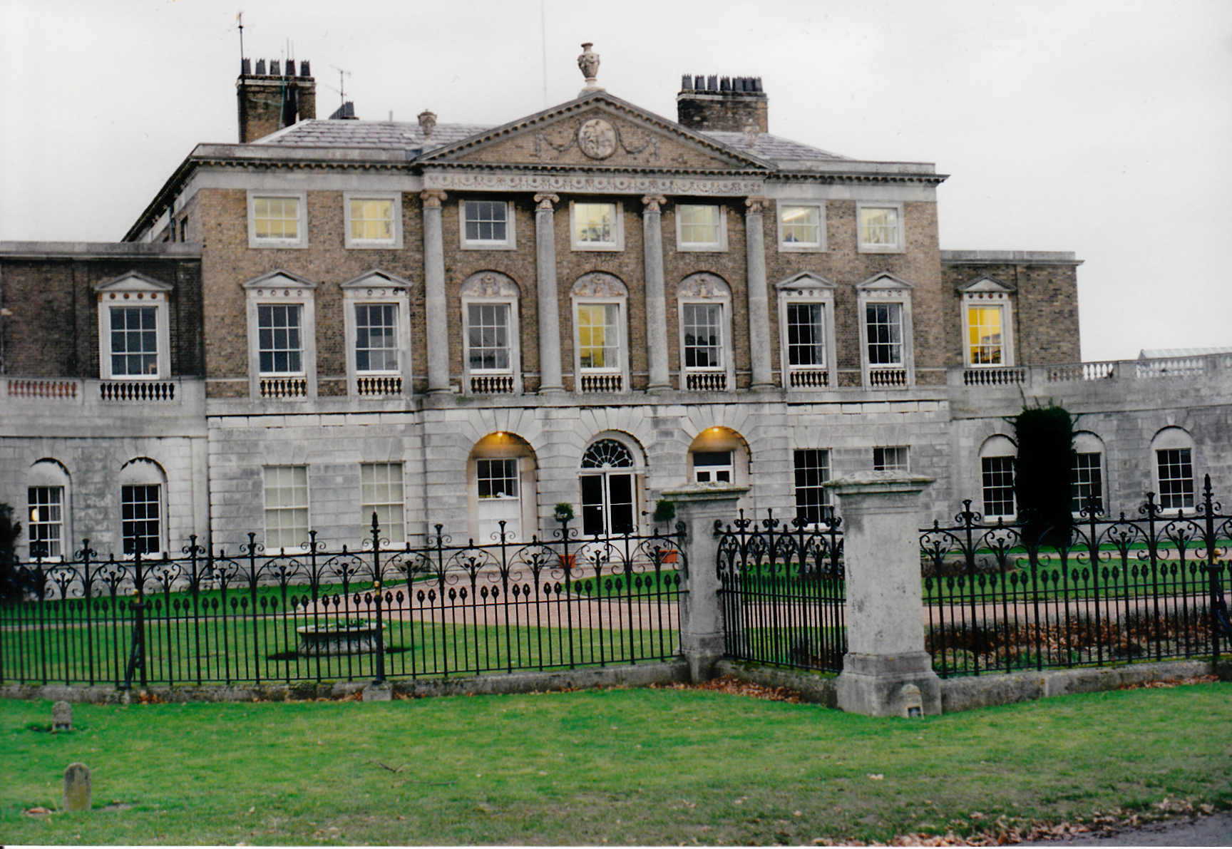
Woolverstone Hall School
In the early 1950s the London County Council obtained use of Woolverstone Hall near Ipswich, Suffolk, and some 50 acres (200,000 m2) of adjoining land...

Ipswich High School, Suffolk
Ipswich High School is a co-educational private school at Woolverstone Hall near Ipswich, England. Formerly an exclusive school for girls, it was converted...

Shotley
Shotley is a village and civil parish 8 miles (13 km) south-east of Ipswich in the English county of Suffolk. It is in the Babergh district and gives its...
Nearby Amenities
Located within 500m of 51.981303,1.214929Have you been to Broomfield Covert?
Leave your review of Broomfield Covert below (or comments, questions and feedback).